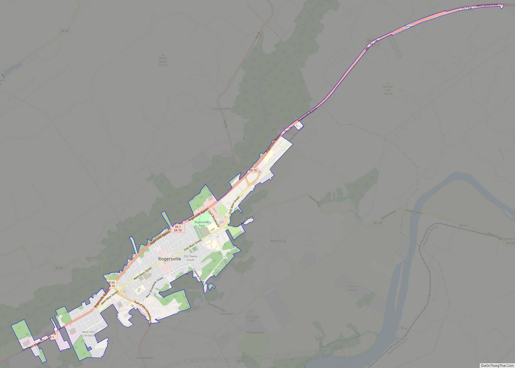
Rogersville is a town in, and the county seat of, Hawkins County, Tennessee, United States. It was settled in 1775 by the grandparents of Davy Crockett. It is named for its founder, Joseph Rogers. Tennessee’s second oldest courthouse, the Hawkins County Courthouse, first newspaper The Knoxville Gazette, and first post office are all located in Rogersville. The Rogersville Historic District is listed on the National Register of Historic Places.
Rogersville is part of the Kingsport–Bristol (TN)–Bristol (VA) Metropolitan Statistical Area, which is a component of the Johnson City–Kingsport–Bristol, TN-VA Combined Statistical Area – commonly known as the “Tri-Cities” region.
The population of Rogersville as of the 2010 census was 4,671.
| Name: | Rogersville town |
|---|---|
| LSAD Code: | 43 |
| LSAD Description: | town (suffix) |
| State: | Tennessee |
| County: | Hawkins County |
| Founded: | 1789 |
| Incorporated: | 1903 |
| Elevation: | 1,312 ft (400 m) |
| Land Area: | 3.76 sq mi (9.73 km²) |
| Water Area: | 0.00 sq mi (0.00 km²) |
| Population Density: | 1,242.62/sq mi (479.83/km²) |
| ZIP code: | 37857 |
| Area code: | 423 |
| FIPS code: | 4764820 |
| GNISfeature ID: | 2407236 |
| Website: | townofrogersville.com |
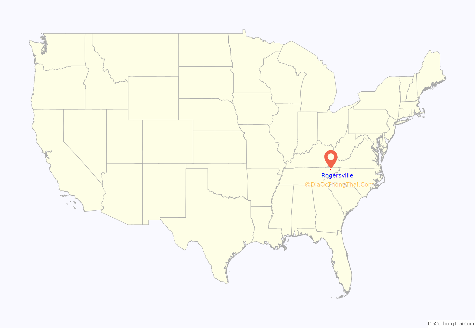
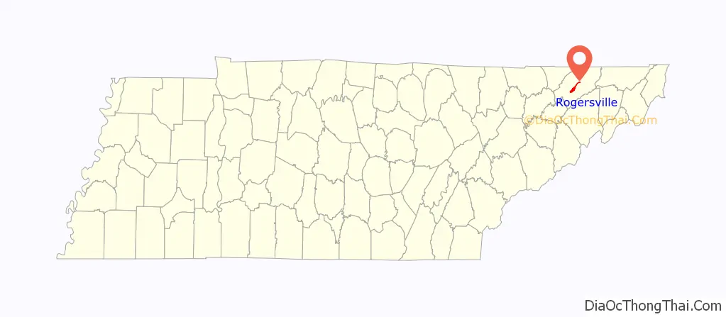
Online Interactive Map
Click on ![]() to view map in "full screen" mode.
to view map in "full screen" mode.
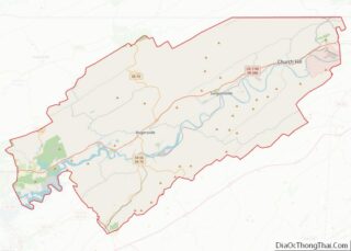
Rogersville location map. Where is Rogersville town?
History
Settlement background
In 1775, the grandparents of Davy Crockett, a future member of the United States Congress from Tennessee and hero of the Alamo, settled in the Watauga colony in the area in what is today Rogersville near the spring that today bears their name. After an American Indian attack and massacre, the remaining Crocketts sold the property to a Huguenot named Colonel Thomas Amis.
In 1780, Colonel Amis built a fort at Big Creek, on the outskirts of the present-day town, with the assistance of fellow Scots-Irish settler John Carter. That same year, about 3.5 miles (5.6 km) above downtown Rogersville, Amis erected a fortress-like stone house, around which he built a palisade for protection against Native American attack. The next year, Amis opened a store, erected a blacksmith shop, and built a distillery. He also eventually established a sawmill and a gristmill. From the first he kept a house of entertainment.
Founding of the town
In 1785, the State of Franklin organized Spencer County (which includes the area of present-day Hawkins County, Tennessee) and declared the seat of county government to be located at what is today Rogersville. Thomas Henderson was chosen county court clerk and colonel of the militia. William Cocke and Thomas King were elected representatives to the Franklin General Assembly. The remaining county officers are unknown.
In November 1786, North Carolina began once more to contend with the Franklin government for control over the area, and that state’s General Assembly passed an act creating Hawkins County. It included within its limits all the territory between Bays Mountain and the Holston and Tennessee rivers on the east to the Cumberland Mountains on the west. The county court was organized at the house of Thomas Gibbons. As had the state of Franklin, North Carolina set the new county seat about the property of Joseph Rogers.
Joseph Rogers
Joseph Rogers (August 21, 1764 – November 6, 1833) was born near Cook’s Town, Ireland, the son of James Rogers and his wife, Elizabeth Brown. He traveled to the area, by then known as the State of Franklin (which had been carved out of far west North Carolina), by 1785. During a stay at a tavern adjacent to Colonel Thomas Amis’ home, Rogers met the colonel’s daughter, Mary Amis, whom he wed, on October 24, 1786. Her father ceded the lands near Crockett Spring to his son-in-law— the same land that Colonel Amis had purchased from the heirs of David Crockett.
When North Carolina considered where to establish the county seat for its new Hawkins County, Rogers successfully lobbied to have the government located near his home. He volunteered his tavern, which had been established about 1784–85, as the first county courthouse, where it was finally established in 1787. With the help of other local settlers, Rogers laid out a plan for the town, and the town of Rogersville was chartered by the North Carolina General Assembly in 1789. The plan included a public square, deeded to the town government, which would host the town’s public well and a county courthouse.
In November 1792, Rogers was appointed the first postmaster at Rogersville. The town’s second post office, built by Rogers c. 1815, still stands at the corner of east Main Street and south Hasson Street.
Rogers was the father of fourteen children with Mary. He died on November 6, 1833, at Rogersville, and is buried in Rogers Cemetery. His wife, Mary, died a month later.
A town divided
In November 1863, during the Civil War, Rogersville was the site of a battle between occupying Federal forces and invading Confederate troops. Union forces had encamped just outside the town. The Confederates, led by Brigadier General William E. Jones, were able to surprise the Union forces and pursue them across the Holston River and into Greene County. The Confederates held the town for the remainder of the war.
Sentiment in Rogersville was divided. Many supported the efforts of twenty-six East Tennessee counties seceding from the state (much as the State of Scott had done) and re-joining the Union. Others saw President Lincoln’s invasion of Tennessee as an unprecedented invasion of their homes and an incursion by Federal power; these people became strong Confederates. Rogersville was spared destruction during the war. In fact, structures such as the Hale Springs Inn were used by the different occupying armies.
Cradle of Tennessee journalism
George Roulstone was Tennessee’s first printer. He was encouraged to settle in Rogersville by William Blount, the new governor of the Southwest Territory. Roulston printed Tennessee’s first newspaper on November 5, 1791. Because Knoxville, the intended seat of the new territorial government, had not yet been established, Roulstone published the first year of his paper near the Rogers tavern. Roulstone called the newspaper The Knoxville Gazette and in October 1792, he moved his press to Knoxville, where he continued to publish the Gazette as well as other papers until his death in 1804. After the Gazette was moved, there was no newspaper in the area until 1813, when John B. Hood began publishing The East Tennessee Gazette at Rogersville. Other papers shortly followed, including The Western Pilot, c. 1815, and The Rogersville Gazette from the same era.
Specialty publications emerged during these early days, including The Rail-Road Advocate, The Calvinistic Magazine, and The Holston Watchman. Numerous other newspapers have been published in Rogersville over the years, most surviving only a short time and having modest circulation. Among them were The Independent, The Rogersville Spectator, The Weekly Reporter, The Rogersville Gazette, Rogersville Press and Times, Holston Journal, Hawkins County Republican, Hawkins County Telephone, and The Rogersville Herald.
Rogersville’s longest-lasting newspaper is The Rogersville Review, which began publication as The Holston Review in 1885 by William T. Robertson. A year later, Robertson changed the name to the present banner. The Review’s closest competitor in lifespan was The Rogersville Herald, which was published from 1886 to 1932.
The town’s printing heritage is chronicled by the Tennessee Newspaper and Printing Museum, located in the town’s historic Southern Railway train depot, c. 1890.
Modern day
In 2020, the Rogersville Town Council acquired a three-acre site of a vacant shopping center with plans to turn the site into a civic service campus, consisting of a new community center, town hall, and a concessions area for users of Rogersville town park, which borders the complex site.
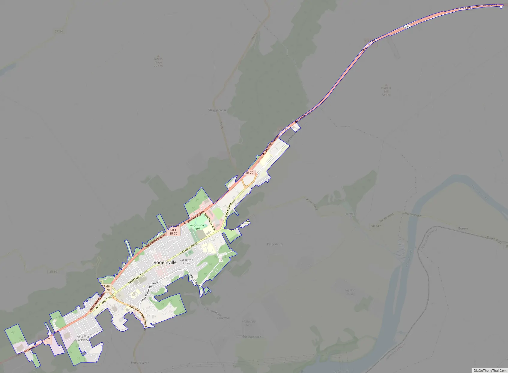
Rogersville Road Map
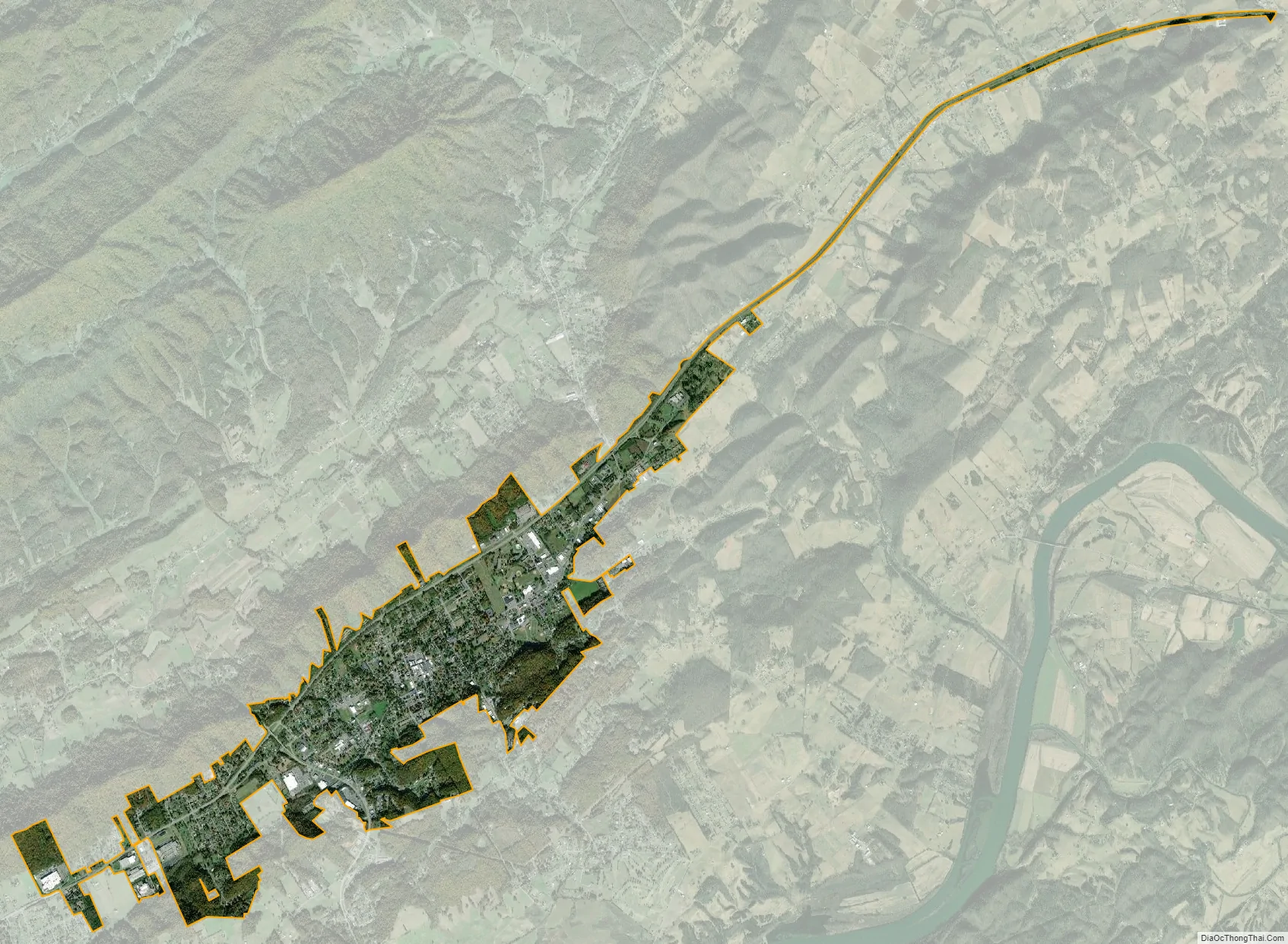
Rogersville city Satellite Map
Geography
Rogersville is located slightly southwest of the center of Hawkins County. According to the United States Census Bureau, the town has a total area of 3.4 square miles (8.8 km), all land. The town is in the valley of Crockett Creek, a southwest-flowing tributary of the Holston River. The elevation of Rogersville is 1,286 feet (392 m). Via U.S. Route 11W (see below), it is 28 miles (45 km) southwest of Kingsport and 65 miles (105 km) northeast of Knoxville.
Rogersville is located in the Ridge and Valley Ecoregion, part of the Appalachian Mountains.
Climate
See also
Map of Tennessee State and its subdivision:- Anderson
- Bedford
- Benton
- Bledsoe
- Blount
- Bradley
- Campbell
- Cannon
- Carroll
- Carter
- Cheatham
- Chester
- Claiborne
- Clay
- Cocke
- Coffee
- Crockett
- Cumberland
- Davidson
- Decatur
- DeKalb
- Dickson
- Dyer
- Fayette
- Fentress
- Franklin
- Gibson
- Giles
- Grainger
- Greene
- Grundy
- Hamblen
- Hamilton
- Hancock
- Hardeman
- Hardin
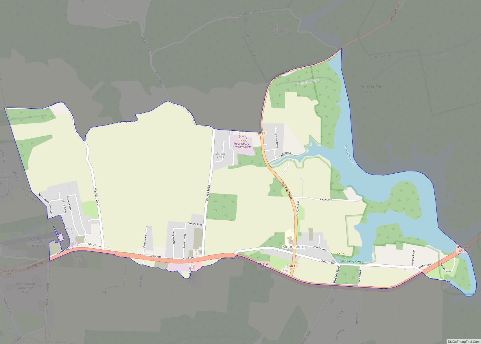
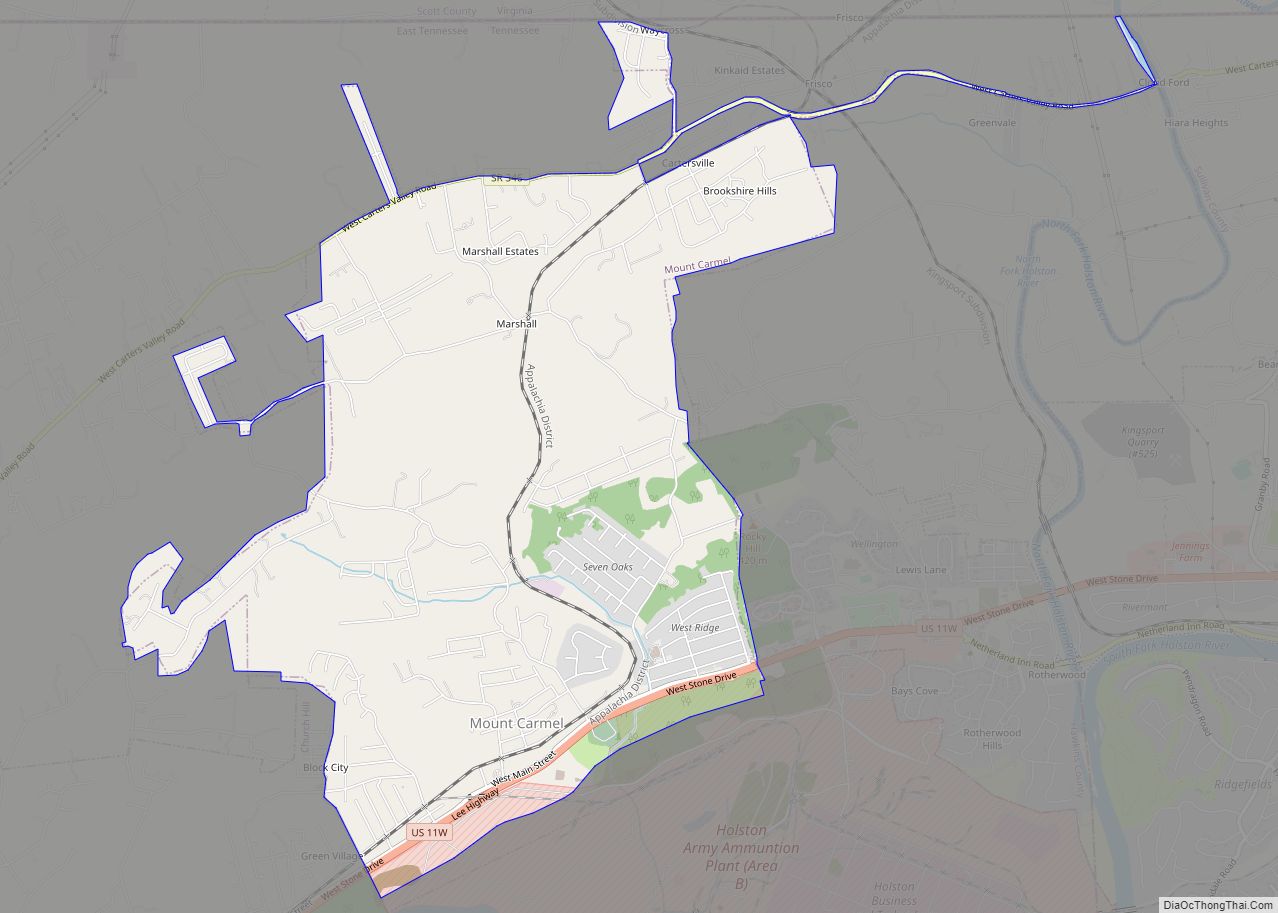
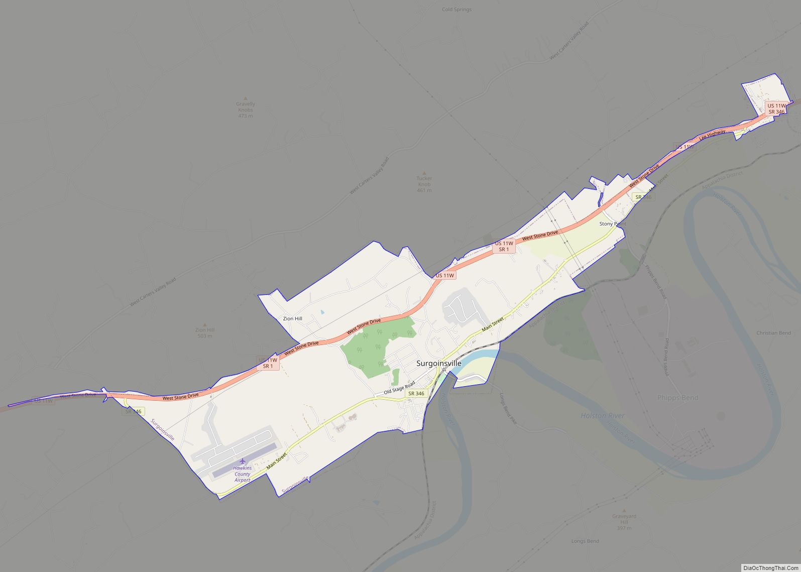
- Hawkins
- Haywood
- Henderson
- Henry
- Hickman
- Houston
- Humphreys
- Jackson
- Jefferson
- Johnson
- Knox
- Lake
- Lauderdale
- Lawrence
- Lewis
- Lincoln
- Loudon
- Macon
- Madison
- Marion
- Marshall
- Maury
- McMinn
- McNairy
- Meigs
- Monroe
- Montgomery
- Moore
- Morgan
- Obion
- Overton
- Perry
- Pickett
- Polk
- Putnam
- Rhea
- Roane
- Robertson
- Rutherford
- Scott
- Sequatchie
- Sevier
- Shelby
- Smith
- Stewart
- Sullivan
- Sumner
- Tipton
- Trousdale
- Unicoi
- Union
- Van Buren
- Warren
- Washington
- Wayne
- Weakley
- White
- Williamson
- Wilson
- Alabama
- Alaska
- Arizona
- Arkansas
- California
- Colorado
- Connecticut
- Delaware
- District of Columbia
- Florida
- Georgia
- Hawaii
- Idaho
- Illinois
- Indiana
- Iowa
- Kansas
- Kentucky
- Louisiana
- Maine
- Maryland
- Massachusetts
- Michigan
- Minnesota
- Mississippi
- Missouri
- Montana
- Nebraska
- Nevada
- New Hampshire
- New Jersey
- New Mexico
- New York
- North Carolina
- North Dakota
- Ohio
- Oklahoma
- Oregon
- Pennsylvania
- Rhode Island
- South Carolina
- South Dakota
- Tennessee
- Texas
- Utah
- Vermont
- Virginia
- Washington
- West Virginia
- Wisconsin
- Wyoming