Ewa Villages is a census-designated place (CDP) located in the ʻEwa District and the City & County of Honolulu on the leeward side of Oʻahu in Hawaiʻi approximately 20 miles (32 km) from downtown Honolulu. As of the 2020 census, the CDP had a population of 7,825.
This area was previously known as ʻEwa (in Hawaiian, ʻewa means “crooked”). In the late 19th century to early 20th century, ʻEwa was one of the large population centers on the island of Oʻahu, with industry focused around sugar cane production. The ʻEwa Mill was a major employer that set up residential villages within ʻEwa (from which the modern name arose). Sugar cane is no longer grown on the ʻEwa Plain and ʻEwa is now one of Oʻahu’s suburban growth centers—an area of substantial sprawl spreading unbroken to ʻEwa Gentry and ʻEwa Beach on the south, Kalaeloa on the southwest, and Kapolei on the west. This area is now referred to as Oʻahu’s Second City, with a city center (downtown) located in Kapolei.
Honouliuli is a former village and now a place name for the north end of ʻEwa, lying along Honouliuli Stream between ʻEwa Villages and Waipahu.
The U.S. postal code for ʻEwa is 96706, the same as ʻEwa Beach.
| Name: | Ewa Villages CDP |
|---|---|
| LSAD Code: | 57 |
| LSAD Description: | CDP (suffix) |
| State: | Hawaii |
| County: | Honolulu County |
| Elevation: | 59 ft (18 m) |
| Total Area: | 1.13 sq mi (2.92 km²) |
| Land Area: | 1.13 sq mi (2.92 km²) |
| Water Area: | 0.00 sq mi (0.00 km²) |
| Total Population: | 7,825 |
| Population Density: | 6,937.06/sq mi (2,679.28/km²) |
| Area code: | 808 |
| FIPS code: | 1507485 |
| GNISfeature ID: | 1867250 |
Online Interactive Map
Click on ![]() to view map in "full screen" mode.
to view map in "full screen" mode.
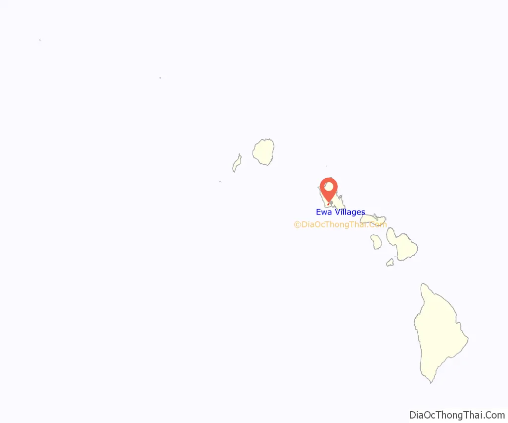
Ewa Villages location map. Where is Ewa Villages CDP?
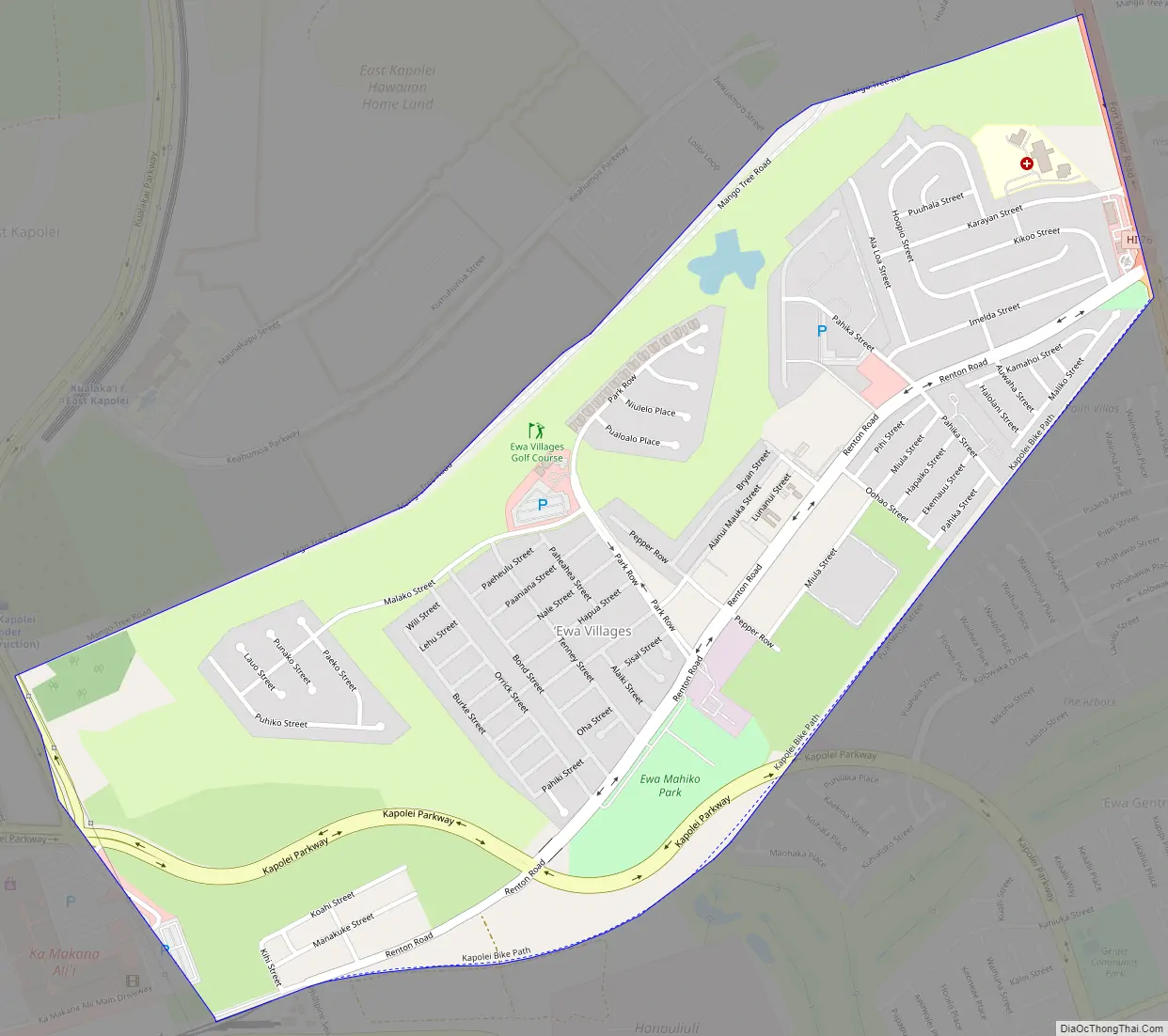
Ewa Villages Road Map
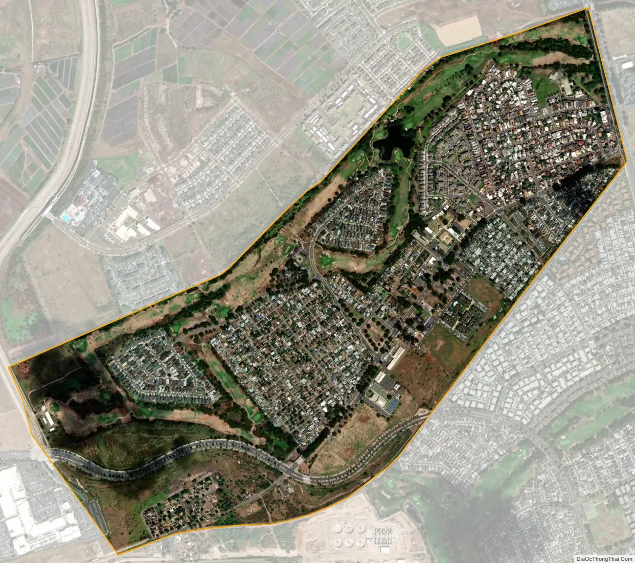
Ewa Villages city Satellite Map
Geography
Ewa Villages is located at 21°20′32″N 158°2′30″W / 21.34222°N 158.04167°W / 21.34222; -158.04167 (21.342155, -158.041679), inland from ʻEwa Beach along the main thoroughfare of State Rte. 76 (Fort Weaver Road). This highway runs north past Honouliuli to Waipahu, connecting there to Farrington Highway and the H-1 freeway. The main east–west thoroughfare in ʻEwa Villages is Renton Road which connects to Kalaeloa and Kapolei to the west. Eventually, the Kapolei Parkway will replace Renton Road as the main east–west thoroughfare for the Second City south of H-1 and Farrington Highway.
According to the United States Census Bureau, the CDP has a total area of 1.1 square miles (2.9 km), all land.
ʻEwa is a widely used directional term on Oʻahu, referring to the direction of the town of ʻEwa but meaning westward to those residing and working in Honolulu. Its opposite is “Diamond Head” (located at the east end of Waikīkī) or “Koko Head” (located still further east of downtown Honolulu).
Honouliuli Internment Camp, a World War II–era internment camp, operated there from 1943 to 1945.
See also
Map of Hawaii State and its subdivision: Map of other states:- Alabama
- Alaska
- Arizona
- Arkansas
- California
- Colorado
- Connecticut
- Delaware
- District of Columbia
- Florida
- Georgia
- Hawaii
- Idaho
- Illinois
- Indiana
- Iowa
- Kansas
- Kentucky
- Louisiana
- Maine
- Maryland
- Massachusetts
- Michigan
- Minnesota
- Mississippi
- Missouri
- Montana
- Nebraska
- Nevada
- New Hampshire
- New Jersey
- New Mexico
- New York
- North Carolina
- North Dakota
- Ohio
- Oklahoma
- Oregon
- Pennsylvania
- Rhode Island
- South Carolina
- South Dakota
- Tennessee
- Texas
- Utah
- Vermont
- Virginia
- Washington
- West Virginia
- Wisconsin
- Wyoming


