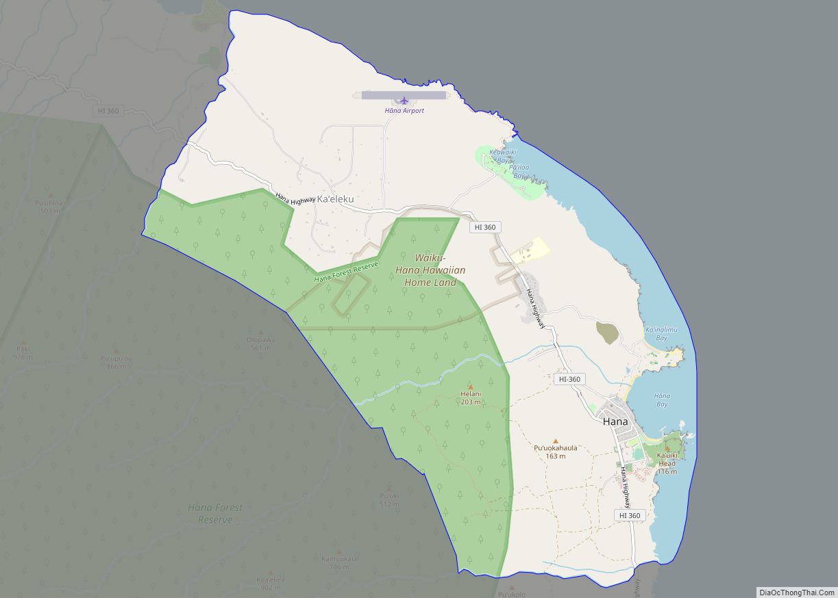
Hana is a census-designated place (CDP) in Maui County, Hawaii, United States. The population was 1,526 at the 2020 census. Hana is located at the eastern end of the island of Maui and is one of the most isolated communities in the state. It is reached mainly via the Hana Highway, a long, winding, 52-mile-long (84 km) highway along Maui’s northern shore, via boat, and with commercial air service to Hana Airport.
| Name: | Hana CDP |
|---|---|
| LSAD Code: | 57 |
| LSAD Description: | CDP (suffix) |
| State: | Hawaii |
| County: | Maui County |
| Elevation: | 128 ft (39 m) |
| Total Area: | 11.70 sq mi (30.30 km²) |
| Land Area: | 10.56 sq mi (27.34 km²) |
| Water Area: | 1.14 sq mi (2.96 km²) |
| Total Population: | 1,526 |
| Population Density: | 144.53/sq mi (55.81/km²) |
| ZIP code: | 96713 |
| Area code: | 808 |
| FIPS code: | 1511350 |
| GNISfeature ID: | 0359013 |
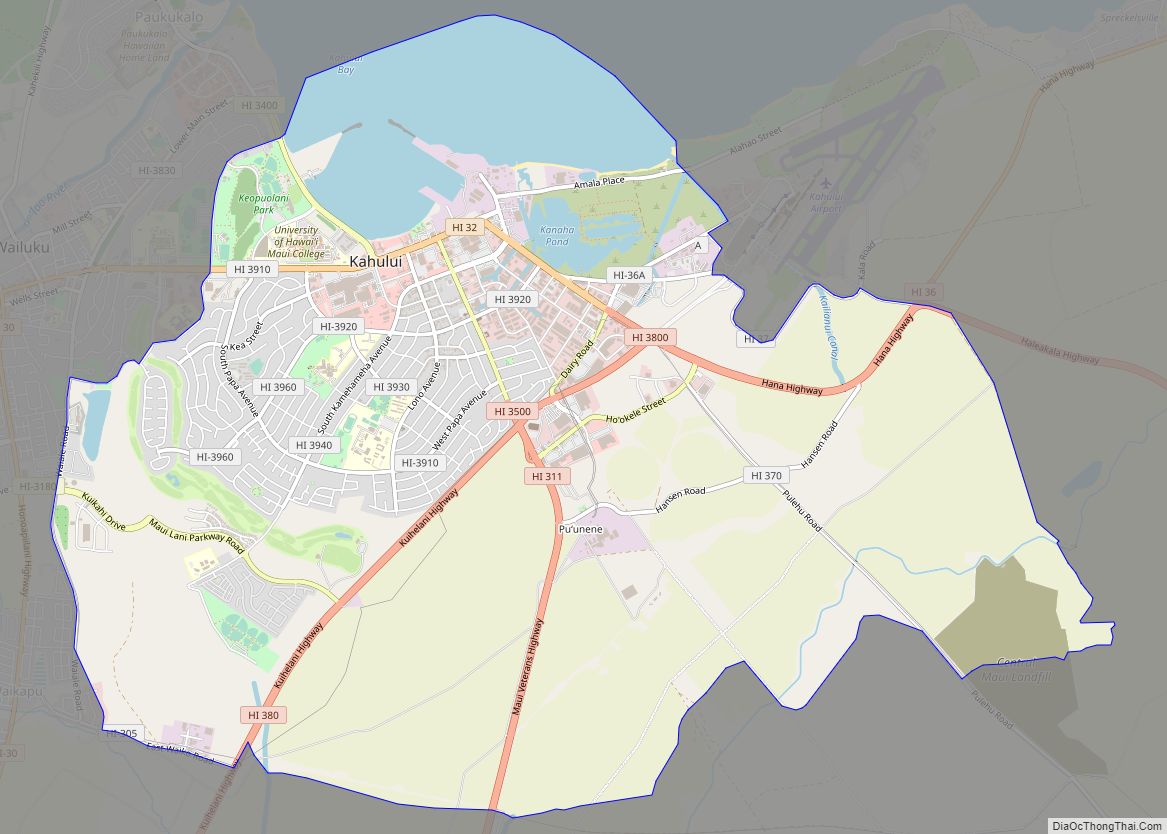
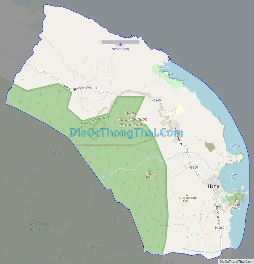
Online Interactive Map
Click on ![]() to view map in "full screen" mode.
to view map in "full screen" mode.
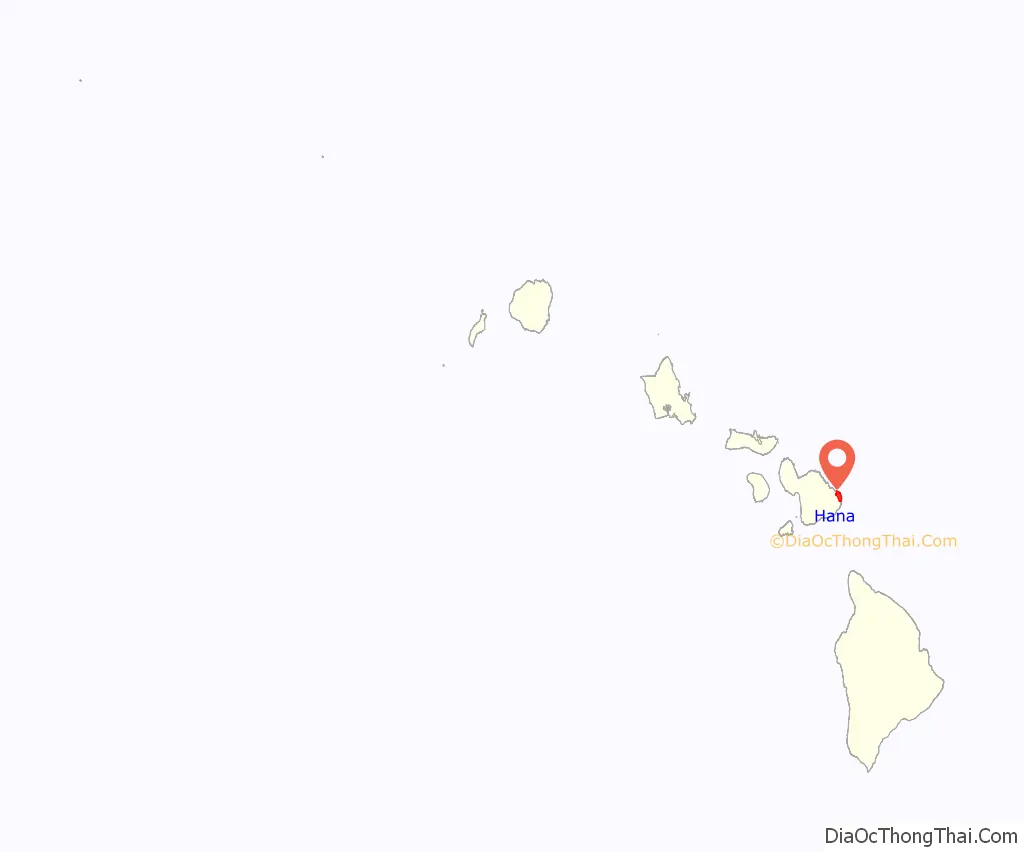
Hana location map. Where is Hana CDP?
History
Like most of Hawaii, Hana was probably first settled between 500 and 800 AD by Polynesian peoples.
The first sugarcane plantation in the area was established by George Wilfong in 1849, and by 1883 there were six plantations operating in the area. By 1946, however, the last sugarcane plantation had closed, leading plantation workers to move mostly to the west side of Maui. That same year saw the opening of the Kaʻuiki Inn, later known as the Hotel Travaasa – Hana and today as the Hyatt Hana-Maui Resort, which helped transition the economy towards tourism.
The winding, famously scenic Hana Highway was completed in 1926. Originally paved with gravel, it provided the first land vehicle access to the town. Hana’s population peaked in the first half of the twentieth century, with a population of about 3,500.
Hana Road Map
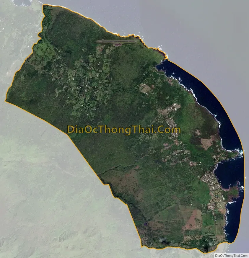
Hana city Satellite Map
Geography
Hana is located at 20°46′12″N 155°59′39″W / 20.77000°N 155.99417°W / 20.77000; -155.99417 (20.770017, −155.994179), directly on the East rift zone of East Maui Volcano (Haleakalā). The Hana Airport offers flights with regular service to the Big Island, Kahului, and Oʻahu.
According to the United States Census Bureau, this CDP has a total area of 11.7 square miles (30.3 km), of which 10.5 square miles (27.3 km) is land and 1.2 square miles (3.0 km), 9.77%, is water.
Near Hana are natural areas and several swimming holes in the Haleakalā National Park.
Hana’s climate is hot and wet year round, typical of a tropical rainforest.
See also
Map of Hawaii State and its subdivision: Map of other states:- Alabama
- Alaska
- Arizona
- Arkansas
- California
- Colorado
- Connecticut
- Delaware
- District of Columbia
- Florida
- Georgia
- Hawaii
- Idaho
- Illinois
- Indiana
- Iowa
- Kansas
- Kentucky
- Louisiana
- Maine
- Maryland
- Massachusetts
- Michigan
- Minnesota
- Mississippi
- Missouri
- Montana
- Nebraska
- Nevada
- New Hampshire
- New Jersey
- New Mexico
- New York
- North Carolina
- North Dakota
- Ohio
- Oklahoma
- Oregon
- Pennsylvania
- Rhode Island
- South Carolina
- South Dakota
- Tennessee
- Texas
- Utah
- Vermont
- Virginia
- Washington
- West Virginia
- Wisconsin
- Wyoming