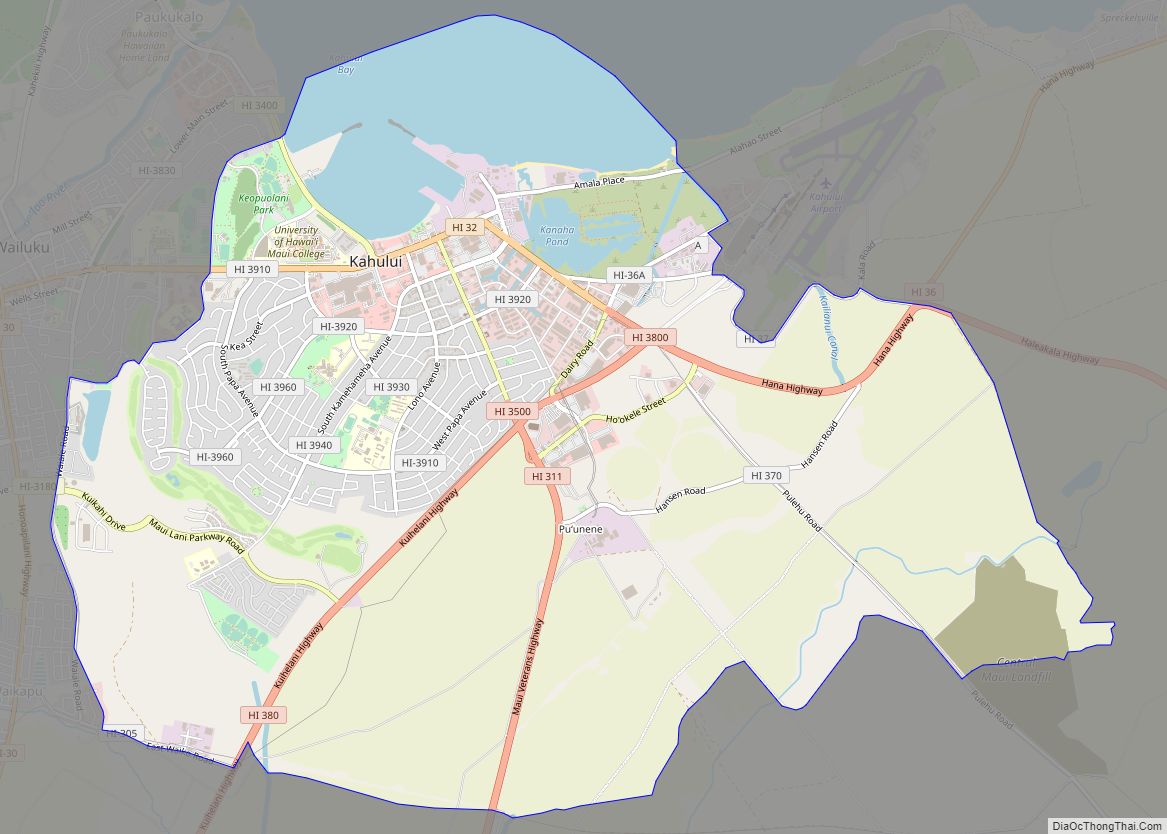
Kahului (Hawaiian pronunciation: [kəhuˈluwi]) is a census-designated place (CDP) in Maui County in the U.S. state of Hawaii. It hosts the county’s main airport (Kahului Airport), a deep-draft harbor, light industrial areas, and commercial shopping centers. The population was 28,219 at the 2020 census. Kahului is part of the Kahului-Wailuku-Lahaina Metropolitan Statistical Area which comprises all of Maui County, including nearby Wailuku and the town and former whaling village of Lahaina.
The retail center for Maui County residents, Kahului has several malls and major stores (including department stores in the Queen Kaahumanu Center). Attractions in Kahului include the Alexander & Baldwin Sugar Museum, Kanaha Pond State Wildlife Sanctuary, Kanaha Beach County Park, and the Maui Arts and Cultural Center.
Kahului is served by Kahului Airport, located outside the CDP.
| Name: | Kahului CDP |
|---|---|
| LSAD Code: | 57 |
| LSAD Description: | CDP (suffix) |
| State: | Hawaii |
| County: | Maui County |
| Elevation: | 30 ft (9 m) |
| Total Area: | 16.03 sq mi (41.52 km²) |
| Land Area: | 14.39 sq mi (37.26 km²) |
| Water Area: | 1.65 sq mi (4.26 km²) |
| Total Population: | 28,219 |
| Population Density: | 1,961.56/sq mi (757.38/km²) |
| ZIP code: | 96732-96733 |
| Area code: | 808 |
| FIPS code: | 1522700 |
| GNISfeature ID: | 0359843 |
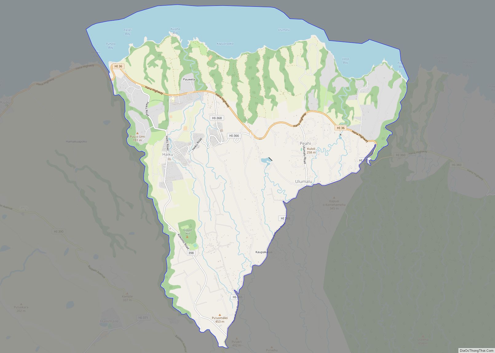
Online Interactive Map
Click on ![]() to view map in "full screen" mode.
to view map in "full screen" mode.
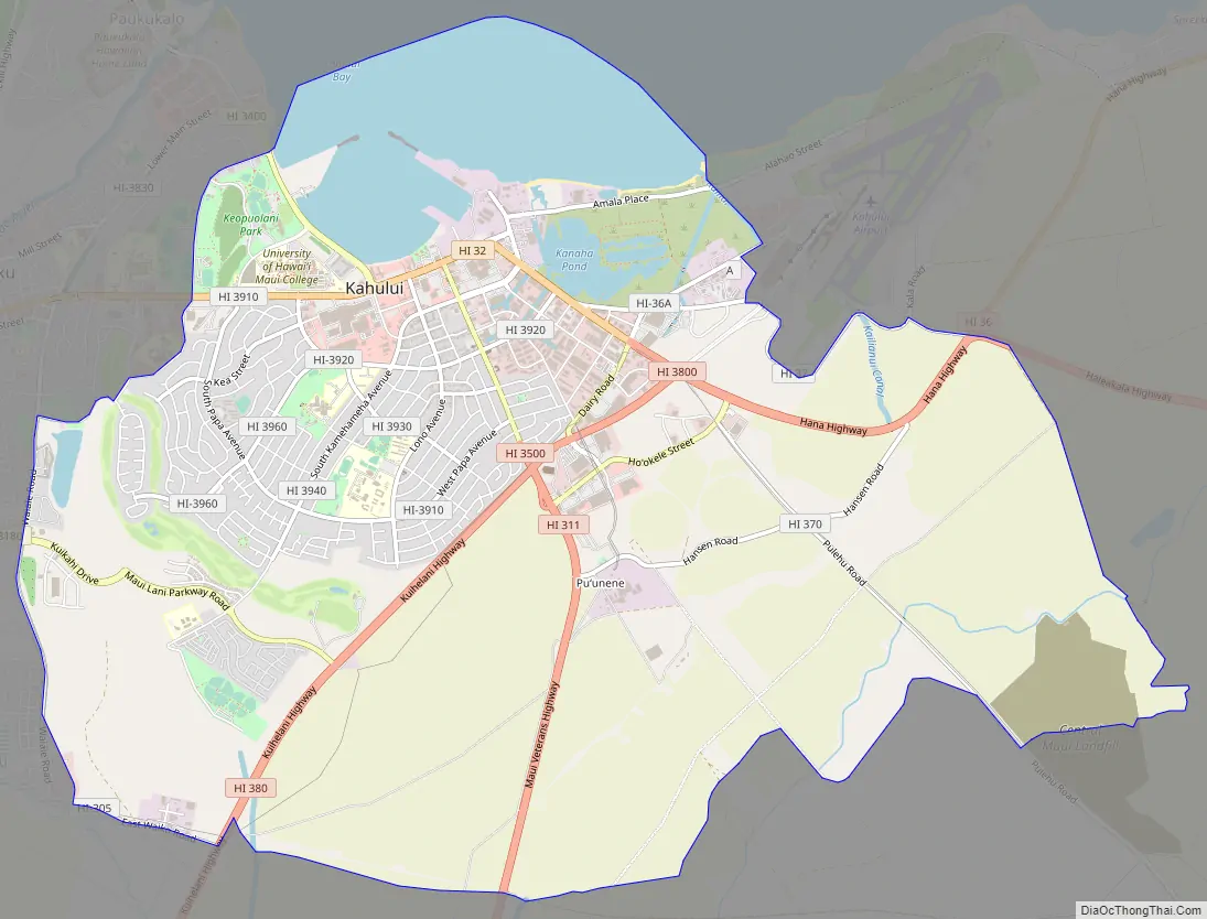
Kahului location map. Where is Kahului CDP?

Kahului Road Map
Kahului city Satellite Map

Geography
Kahului is on the north side of the island of Maui on the shore of Kahului Bay. It is bordered to the west by Wailuku, to the southwest by Waikapu, and to the east by Kahului Airport and Spreckelsville.
According to the United States Census Bureau, the Kahului CDP has a total area of 16.0 square miles (41 km), of which 14.3 square miles (37 km) are land and 1.6 square miles (4.1 km), or 10.26%, are water.
Climate
Kahului has a hot semi-arid climate zone (Köppen classification BSh) with a dry summer season, due to its location on the leeward side of Maui, relative to the trade winds. The normal monthly mean temperature ranges from 71.8 °F (22.1 °C) in February to 79.7 °F (26.5 °C). On average, there are 21 nights annually with a low below 60 °F (16 °C) and 25 days with a high at or above 90 °F (32 °C); readings of 95 °F (35 °C) or higher are far rarer, occurring on average once every five years. Temperature records range from 48 °F (9 °C) on January 20, 1969, up to 97 °F (36 °C) on August 31, 1994, and August 22, 2015. The record cool daily maximum is 65 °F (18 °C) on February 28, 1990, while, conversely, the record warm daily minimum is 79 °F (26 °C) on October 8 and 17, 1979.
Normal annual rainfall is 17.83 inches (453 mm) spread over an average 95 days, but observed annual rainfall has ranged from 6.76 inches (172 mm) in 1908 and 1998 to 40.63 inches (1,032 mm) in 1989. The wettest month on record is January 1980 with 14.46 inches (367 mm), while the most rain to occur in a single calendar day is 5.82 inches (148 mm) on December 21, 1955. The most recent month without measurable (≥0.01 inches or 0.25 millimetres) rain is October 2013 with trace amounts, and the last without any rain is June 1957. The town is also one of the windiest places in the U.S. averaging 13.7 mph per year.
See also
Map of Hawaii State and its subdivision: Map of other states:- Alabama
- Alaska
- Arizona
- Arkansas
- California
- Colorado
- Connecticut
- Delaware
- District of Columbia
- Florida
- Georgia
- Hawaii
- Idaho
- Illinois
- Indiana
- Iowa
- Kansas
- Kentucky
- Louisiana
- Maine
- Maryland
- Massachusetts
- Michigan
- Minnesota
- Mississippi
- Missouri
- Montana
- Nebraska
- Nevada
- New Hampshire
- New Jersey
- New Mexico
- New York
- North Carolina
- North Dakota
- Ohio
- Oklahoma
- Oregon
- Pennsylvania
- Rhode Island
- South Carolina
- South Dakota
- Tennessee
- Texas
- Utah
- Vermont
- Virginia
- Washington
- West Virginia
- Wisconsin
- Wyoming