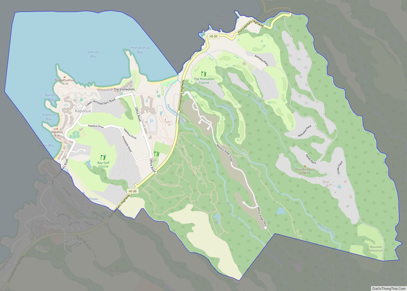
Kapalua is a census-designated place (CDP) in Maui County, Hawaiʻi, United States. A resort development by the Maui Land & Pineapple Company extends inland from Kapalua Bay and Honolua Bay. The population was 495 at the 2020 census.
| Name: | Kapalua CDP |
|---|---|
| LSAD Code: | 57 |
| LSAD Description: | CDP (suffix) |
| State: | Hawaii |
| County: | Maui County |
| Elevation: | 207 ft (63 m) |
| Total Area: | 5.86 sq mi (15.17 km²) |
| Land Area: | 4.84 sq mi (12.55 km²) |
| Water Area: | 1.01 sq mi (2.62 km²) |
| Total Population: | 495 |
| Population Density: | 102.17/sq mi (39.45/km²) |
| Area code: | 808 |
| FIPS code: | 1529725 |
| GNISfeature ID: | 1867255 |
Online Interactive Map
Click on ![]() to view map in "full screen" mode.
to view map in "full screen" mode.
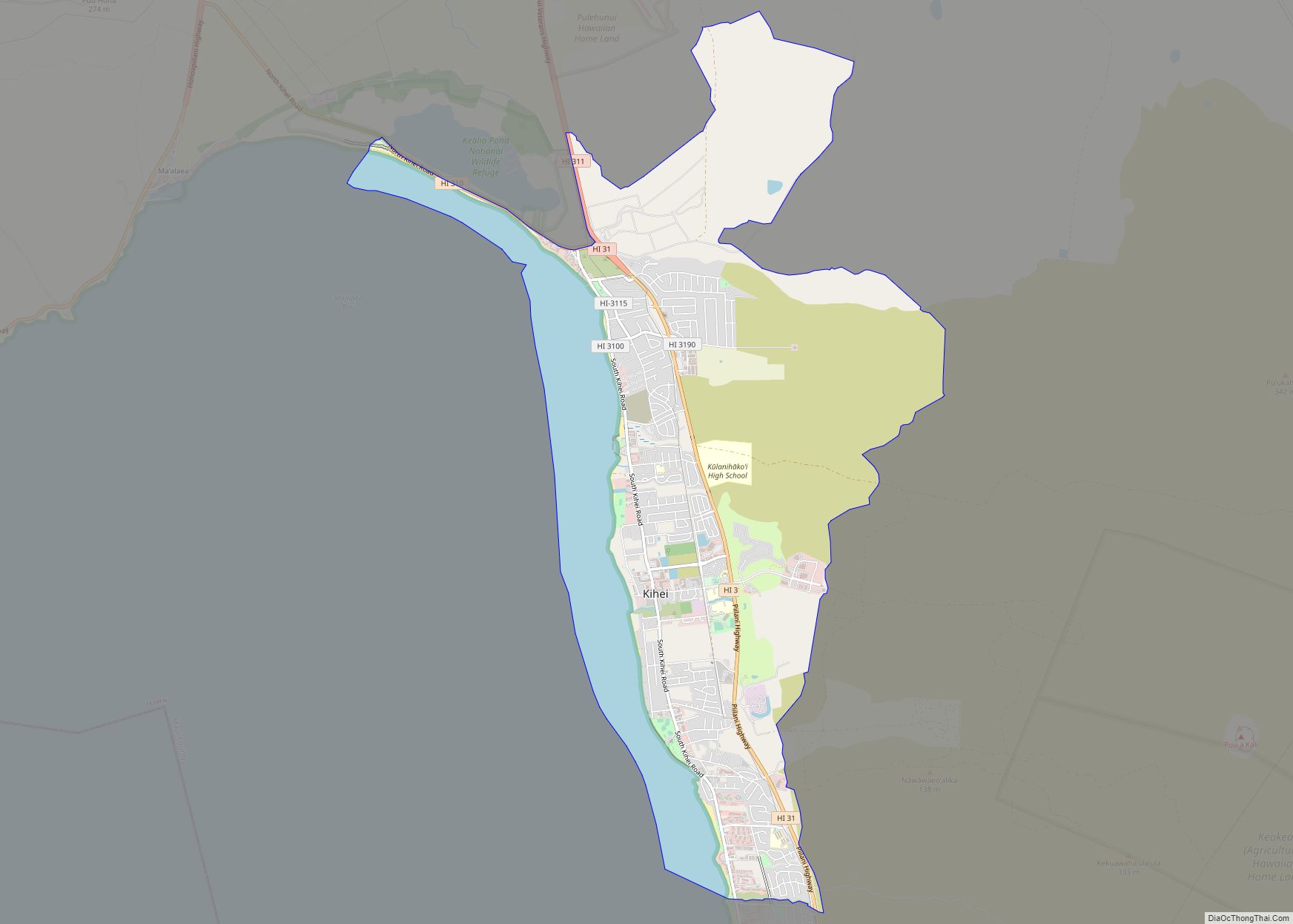
Kapalua location map. Where is Kapalua CDP?

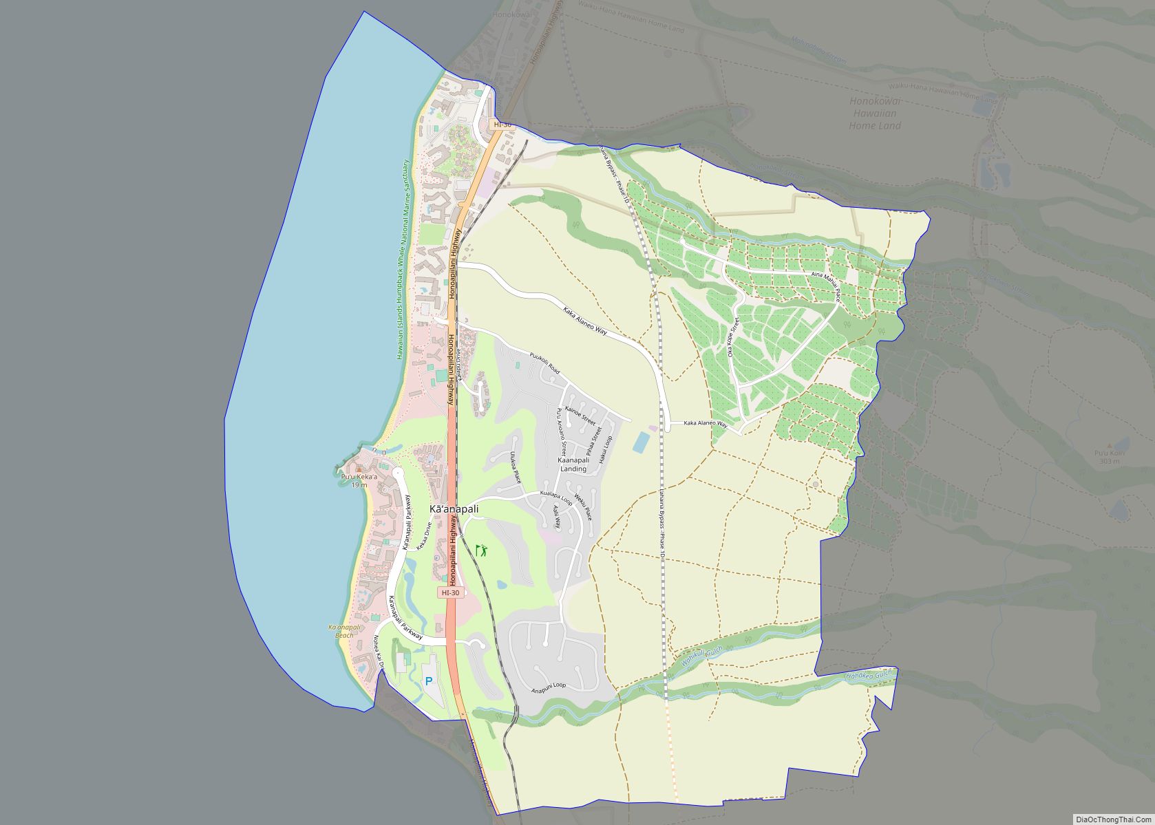
Kapalua Road Map

Kapalua city Satellite Map

Geography
Kapalua is located along the northwest coast of Maui at 20°59′48″N 156°39′11″W / 20.99667°N 156.65306°W / 20.99667; -156.65306 along Route 30, known as the Honoapiʻilani Highway. The Hawaiian name for this area was Honokahua.
According to the United States Census Bureau, the CDP has a total area of 5.8 square miles (15.1 km), of which 4.8 square miles (12.4 km) is land and 1.0 square mile (2.6 km), or 17.41%, is water.
Kapalua has a view of the islands of Molokaʻi and Lānaʻi.
Climate
See also
Map of Hawaii State and its subdivision: Map of other states:- Alabama
- Alaska
- Arizona
- Arkansas
- California
- Colorado
- Connecticut
- Delaware
- District of Columbia
- Florida
- Georgia
- Hawaii
- Idaho
- Illinois
- Indiana
- Iowa
- Kansas
- Kentucky
- Louisiana
- Maine
- Maryland
- Massachusetts
- Michigan
- Minnesota
- Mississippi
- Missouri
- Montana
- Nebraska
- Nevada
- New Hampshire
- New Jersey
- New Mexico
- New York
- North Carolina
- North Dakota
- Ohio
- Oklahoma
- Oregon
- Pennsylvania
- Rhode Island
- South Carolina
- South Dakota
- Tennessee
- Texas
- Utah
- Vermont
- Virginia
- Washington
- West Virginia
- Wisconsin
- Wyoming