Keokea (Hawaiian: Kēōkea) is an unincorporated community and census-designated place (CDP) on the island of Maui in Maui County, Hawaii, United States. It is situated on Hawaii State Highway 37 (the Kula Highway) at North Latitude 20.71 degrees, West Longitude 156.36 degrees. Its elevation is 2,860 feet (870 meters) above sea level. As of the 2020 census its population was 2,199, up from 1,612 in 2010.
Agriculture, forestry and ranching — supported by the area’s fertile though often rocky volcanic loams — are important around this settlement, which has a temperate climate because of its elevation. Tourism also contributes to the local economy. The area around Keokea is characterized by a steep precipitation gradient: lowlands just 5 miles (8 km) to the northwest have mean annual precipitation of less than 16 inches (410 mm), while higher elevations 10 miles (16 km) to the northeast see 140 inches (3,600 mm). Keokea has a mean annual precipitation of about 32 inches (810 mm).
| Name: | Keokea CDP |
|---|---|
| LSAD Code: | 57 |
| LSAD Description: | CDP (suffix) |
| State: | Hawaii |
| County: | Maui County |
| Elevation: | 2,855 ft (870 m) |
| Total Area: | 18.35 sq mi (47.5 km²) |
| Land Area: | 18.35 sq mi (47.5 km²) |
| Water Area: | 0.0 sq mi (0 km²) |
| Total Population: | 2,199 |
| Population Density: | 119.9/sq mi (46.3/km²) |
| ZIP code: | 96790 (Kula) |
| FIPS code: | 1536050 |
| GNISfeature ID: | 2583419 |
Online Interactive Map
Click on ![]() to view map in "full screen" mode.
to view map in "full screen" mode.
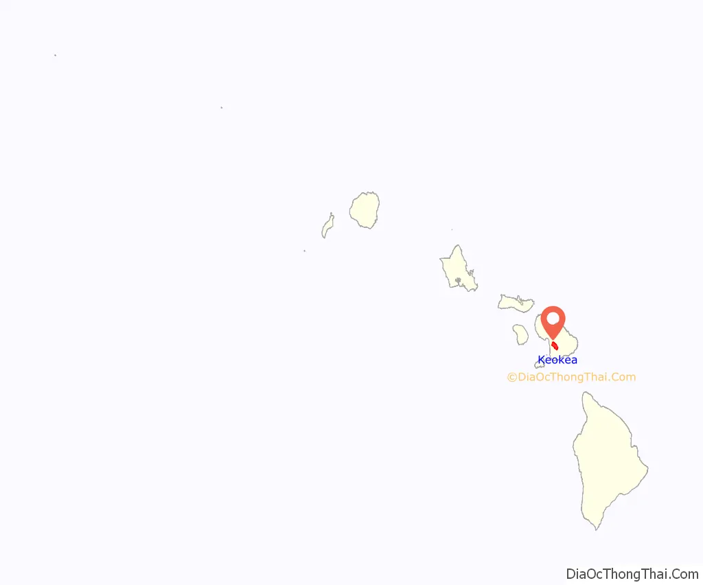
Keokea location map. Where is Keokea CDP?
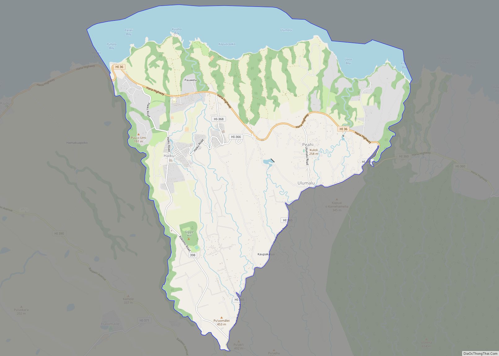
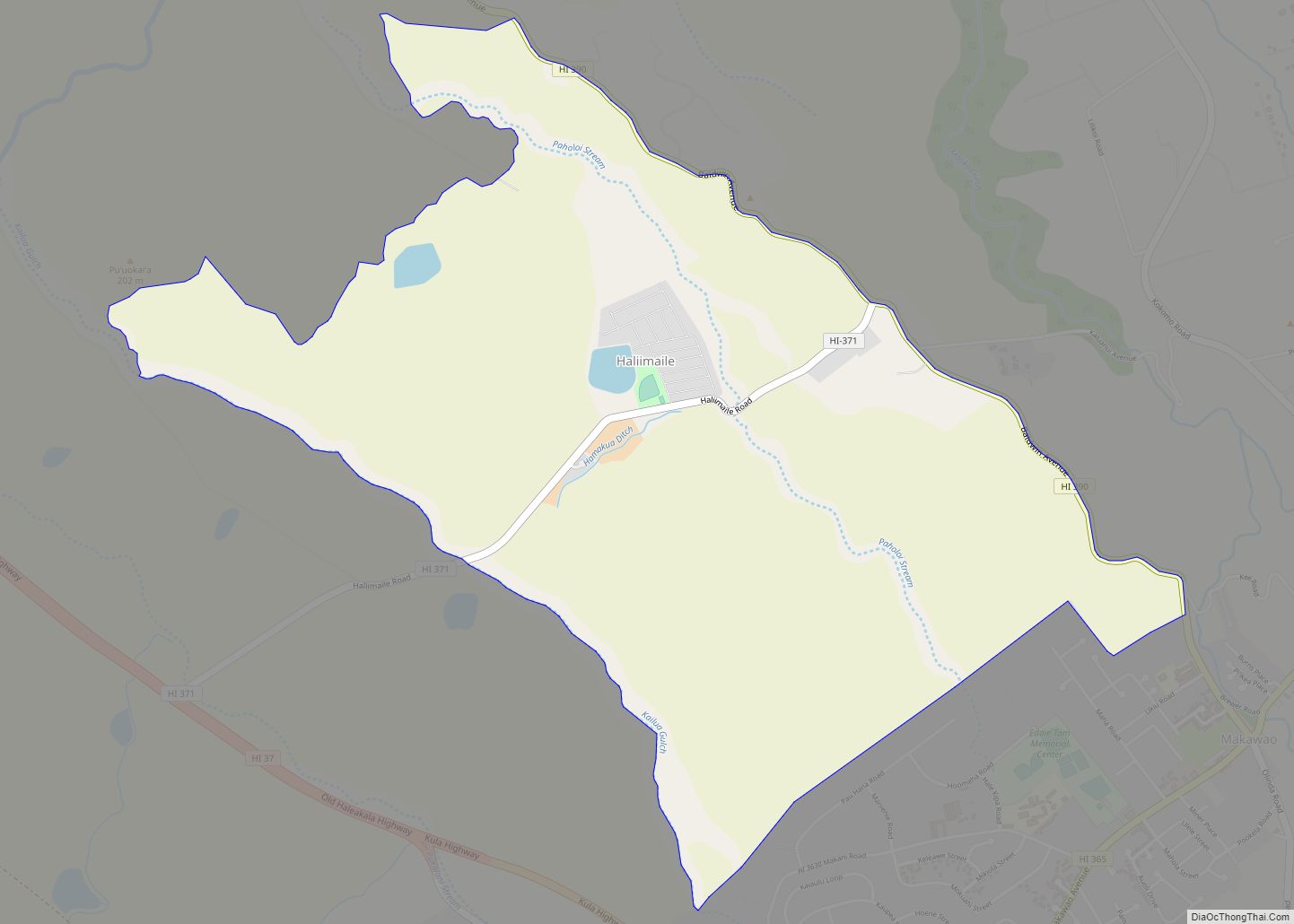
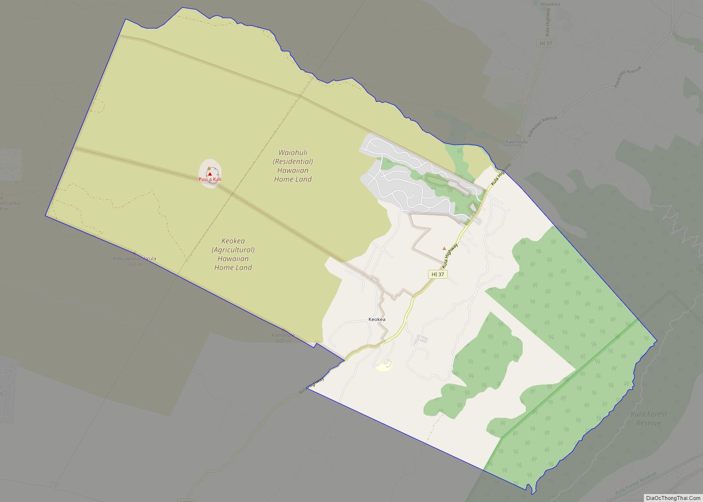
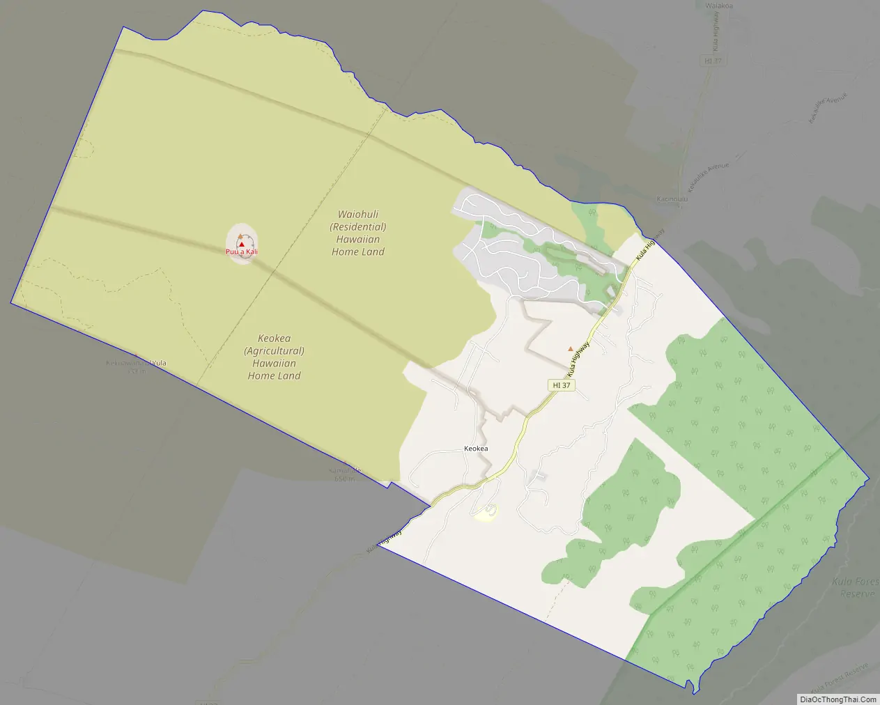
Keokea Road Map
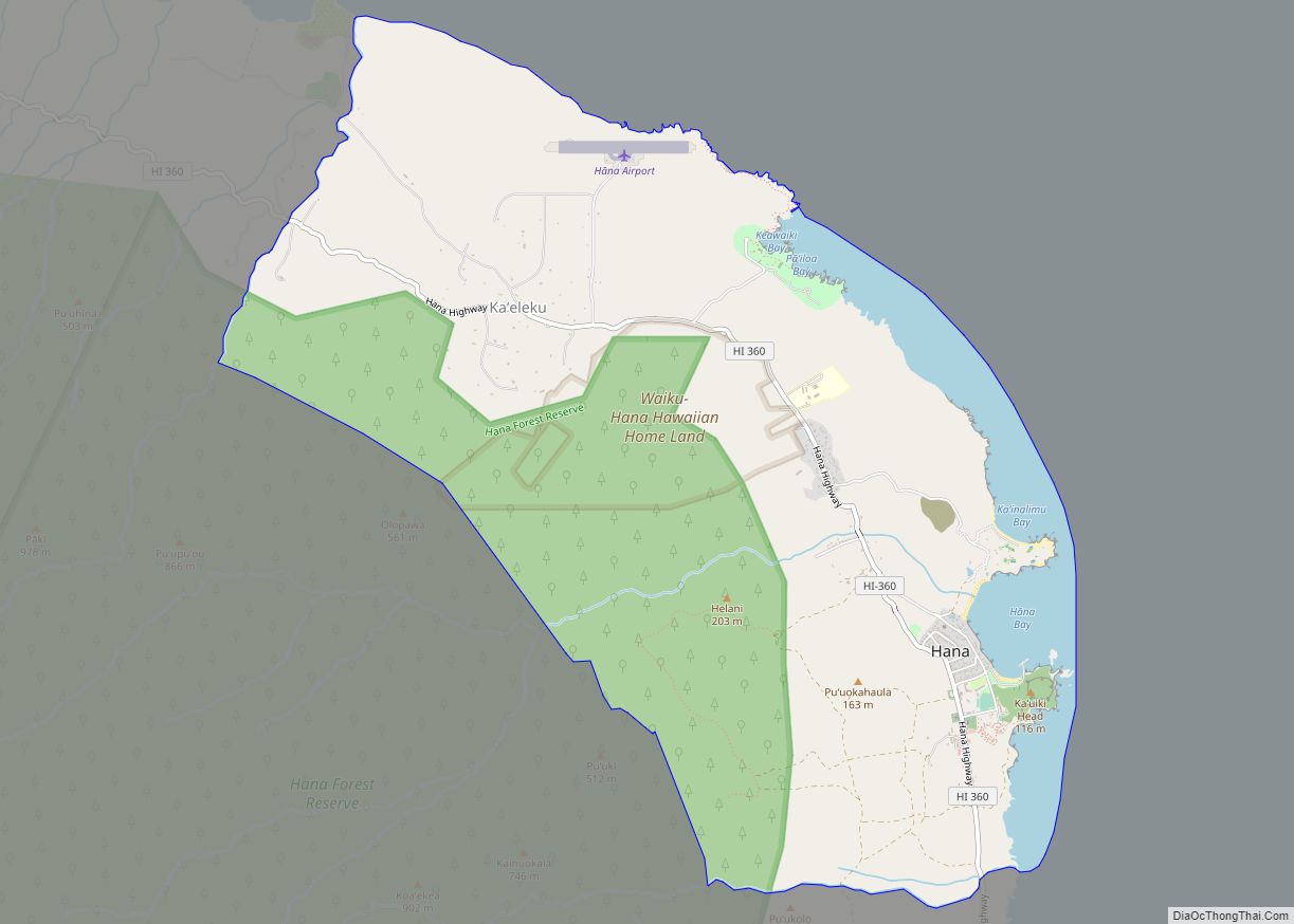
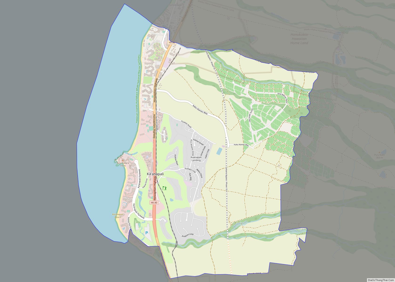
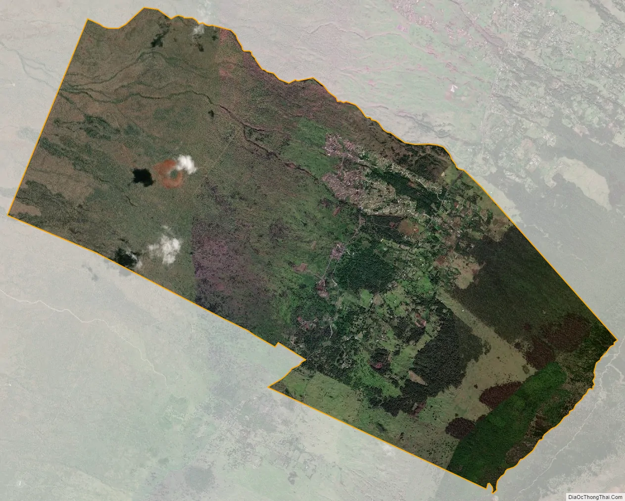
Keokea city Satellite Map
Geography
Keokea is bordered to the north by the community of Kula, while to the southeast is the Kula Forest Preserve, ascending to 7,051-foot (2,149 m) Pu’ukeōkea. Via Highway 37, Kahului is 21 miles (34 km) to the northwest.
According to the U.S. Census Bureau, the Keokea CDP has an area of 18.3 square miles (47 km), all land.
See also
Map of Hawaii State and its subdivision: Map of other states:- Alabama
- Alaska
- Arizona
- Arkansas
- California
- Colorado
- Connecticut
- Delaware
- District of Columbia
- Florida
- Georgia
- Hawaii
- Idaho
- Illinois
- Indiana
- Iowa
- Kansas
- Kentucky
- Louisiana
- Maine
- Maryland
- Massachusetts
- Michigan
- Minnesota
- Mississippi
- Missouri
- Montana
- Nebraska
- Nevada
- New Hampshire
- New Jersey
- New Mexico
- New York
- North Carolina
- North Dakota
- Ohio
- Oklahoma
- Oregon
- Pennsylvania
- Rhode Island
- South Carolina
- South Dakota
- Tennessee
- Texas
- Utah
- Vermont
- Virginia
- Washington
- West Virginia
- Wisconsin
- Wyoming