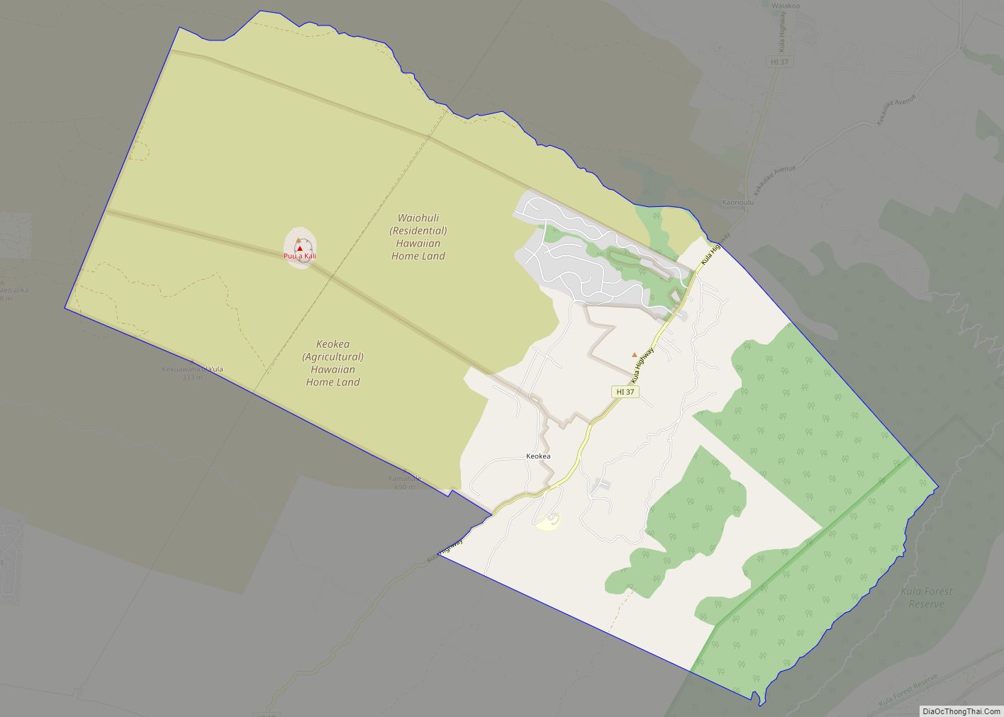
Kualapuʻu is a census-designated place (CDP) on the island of Molokai in Maui County, Hawaiʻi, United States. The population was 2,110 at the 2020 census. Kualapuʻu can be literally translated as “hill overturned”, but is thought to be a corruption of Puʻuʻuala: “sweet potato hill”. The present settlement is a former pineapple cannery village once associated with Del Monte Foods.
| Name: | Kualapuu CDP |
|---|---|
| LSAD Code: | 57 |
| LSAD Description: | CDP (suffix) |
| State: | Hawaii |
| County: | Maui County |
| Elevation: | 843 ft (257 m) |
| Total Area: | 29.43 sq mi (76.23 km²) |
| Land Area: | 29.30 sq mi (75.88 km²) |
| Water Area: | 0.14 sq mi (0.35 km²) |
| Total Population: | 2,110 |
| Population Density: | 72.02/sq mi (27.81/km²) |
| ZIP code: | 96757 |
| Area code: | 808 |
| FIPS code: | 1539500 |
| GNISfeature ID: | 0361457 |
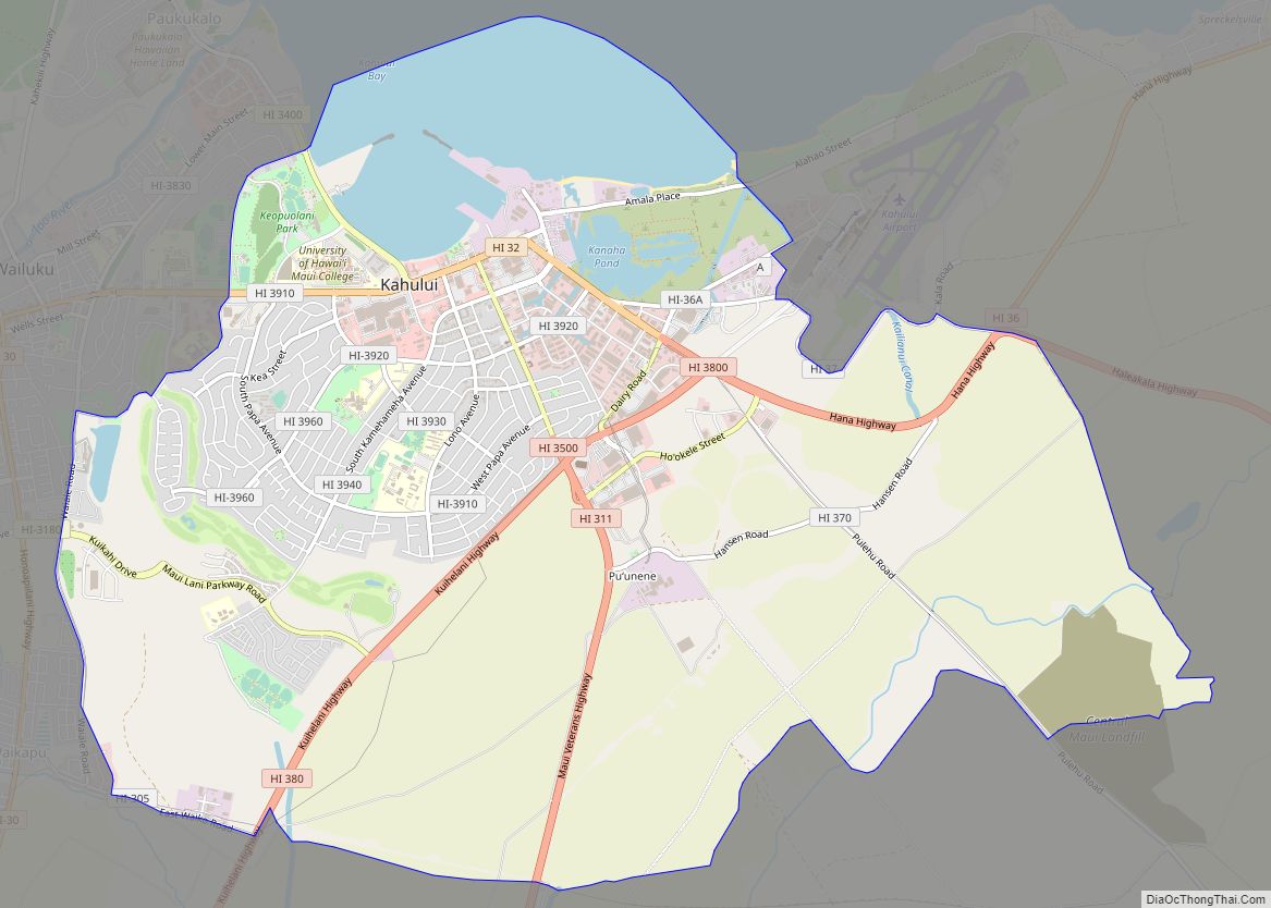
Online Interactive Map
Click on ![]() to view map in "full screen" mode.
to view map in "full screen" mode.
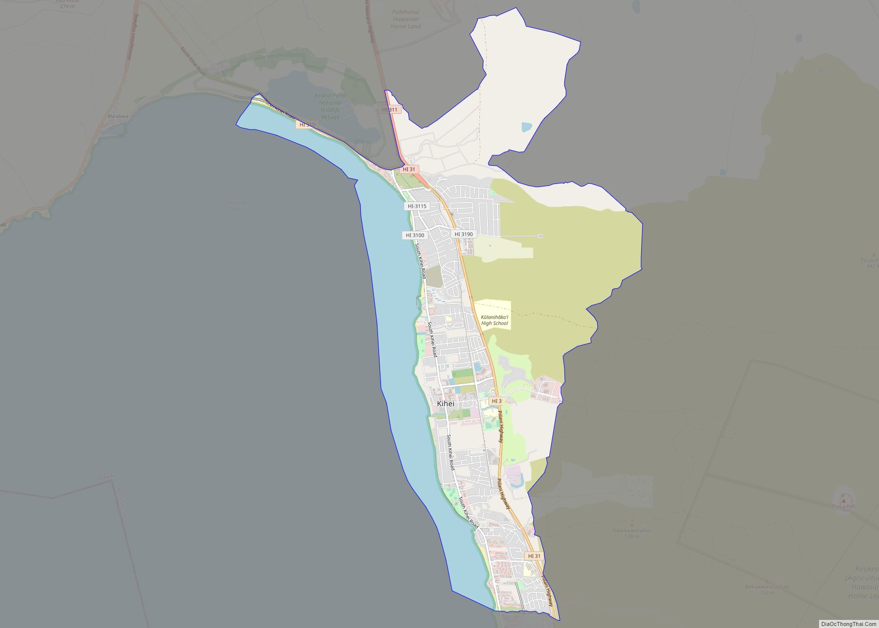
Kualapuu location map. Where is Kualapuu CDP?

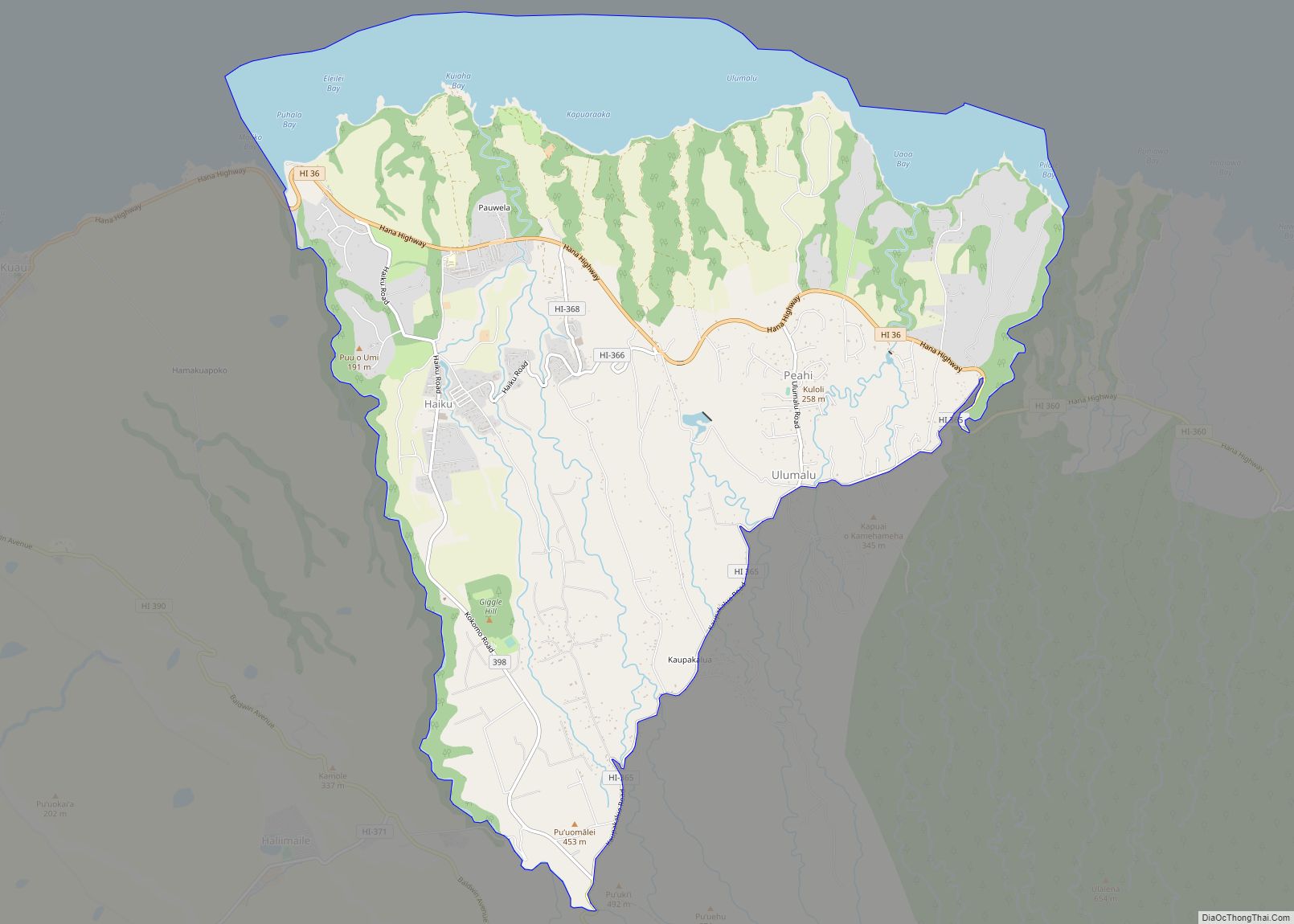
Kualapuu Road Map

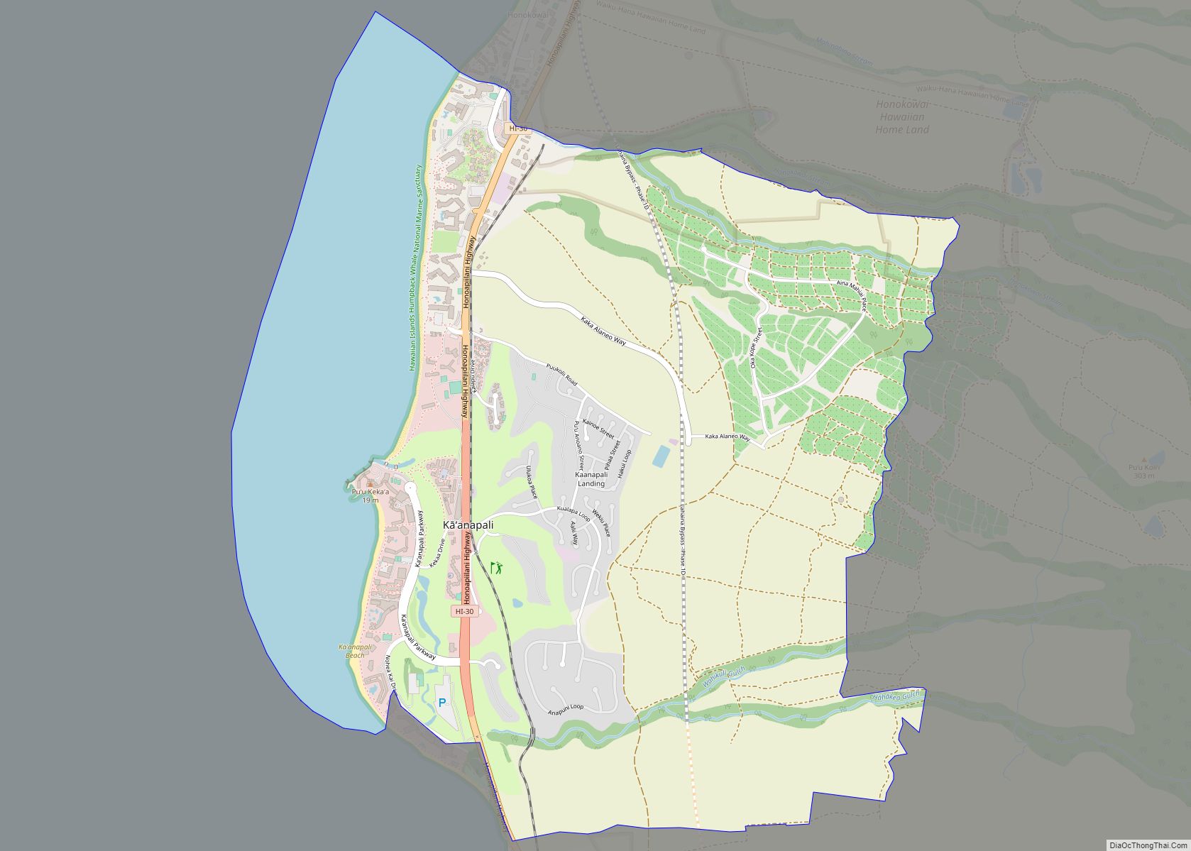
Kualapuu city Satellite Map

Geography
Kualapuʻu is located at 21°9′50″N 157°3′10″W / 21.16389°N 157.05278°W / 21.16389; -157.05278.
According to the United States Census Bureau, the CDP has a total area of 29.5 square miles (76.4 km), of which 29.3 square miles (76.0 km) is land and 0.2 square miles (0.4 km), or 0.46%, is water.
See also
Map of Hawaii State and its subdivision: Map of other states:- Alabama
- Alaska
- Arizona
- Arkansas
- California
- Colorado
- Connecticut
- Delaware
- District of Columbia
- Florida
- Georgia
- Hawaii
- Idaho
- Illinois
- Indiana
- Iowa
- Kansas
- Kentucky
- Louisiana
- Maine
- Maryland
- Massachusetts
- Michigan
- Minnesota
- Mississippi
- Missouri
- Montana
- Nebraska
- Nevada
- New Hampshire
- New Jersey
- New Mexico
- New York
- North Carolina
- North Dakota
- Ohio
- Oklahoma
- Oregon
- Pennsylvania
- Rhode Island
- South Carolina
- South Dakota
- Tennessee
- Texas
- Utah
- Vermont
- Virginia
- Washington
- West Virginia
- Wisconsin
- Wyoming