Launiupoko is an unincorporated community and census-designated place on the island of Maui in Maui County, Hawaii, United States. Its population stands at 688 as of the 2020 census. The community is located on the west side of the island.
Launiupoko Beach Park is located near the beach in the community, managed by the county of Maui. It is 6.7 acres in size, and is ADA accessible. There are sixteen picnic tables and ten barbecues, and 90 parking spots in total, with 50 of those being across the highway. It has one outdoor shower, one restroom, and two payphones.
| Name: | Launiupoko CDP |
|---|---|
| LSAD Code: | 57 |
| LSAD Description: | CDP (suffix) |
| State: | Hawaii |
| County: | Maui County |
| Elevation: | 522 ft (159 m) |
| Total Area: | 5.33 sq mi (13.82 km²) |
| Land Area: | 5.33 sq mi (13.80 km²) |
| Water Area: | 0.01 sq mi (0.02 km²) |
| Total Population: | 688 |
| Population Density: | 129.10/sq mi (49.85/km²) |
| Area code: | 808 |
| FIPS code: | 1544075 |
| GNISfeature ID: | 361745 |
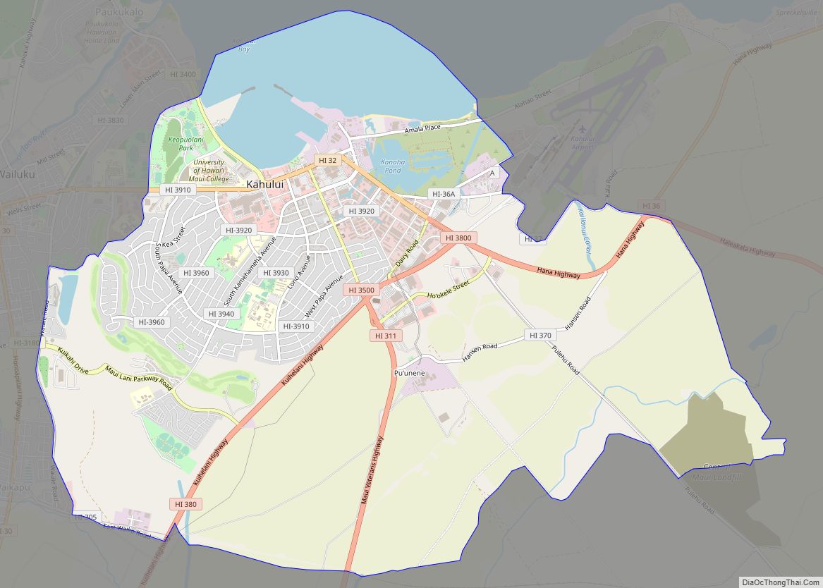
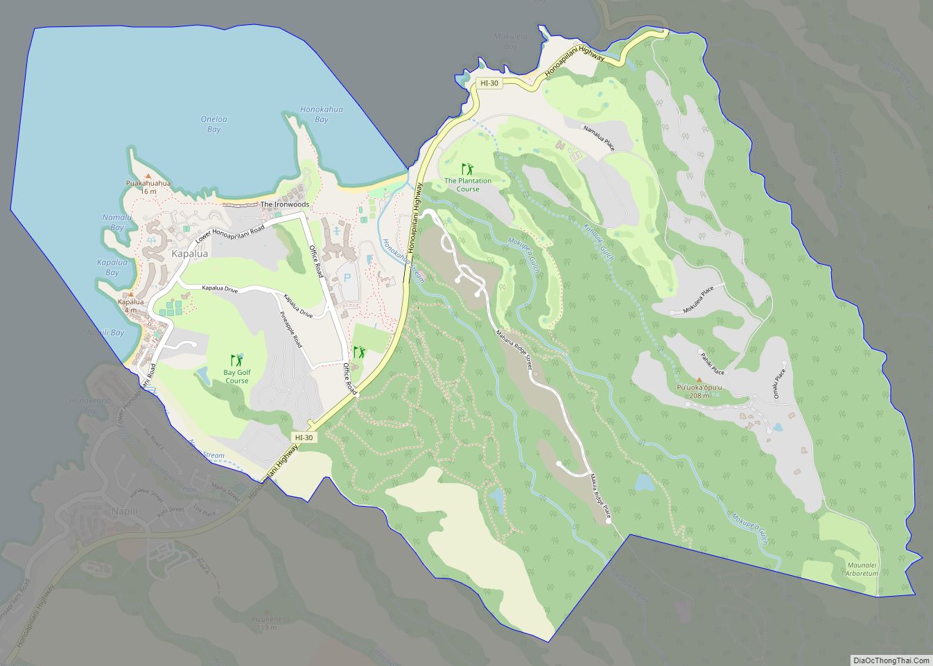
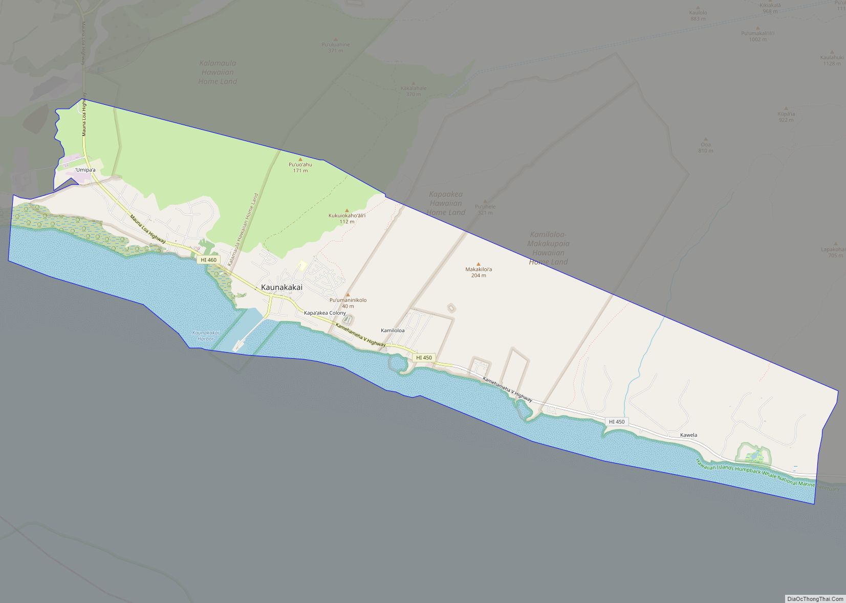
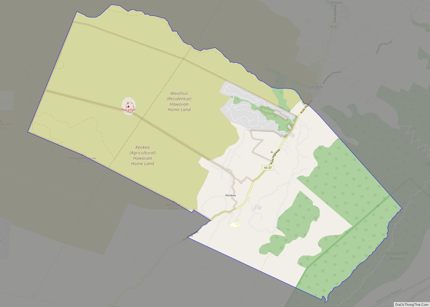
Online Interactive Map
Click on ![]() to view map in "full screen" mode.
to view map in "full screen" mode.
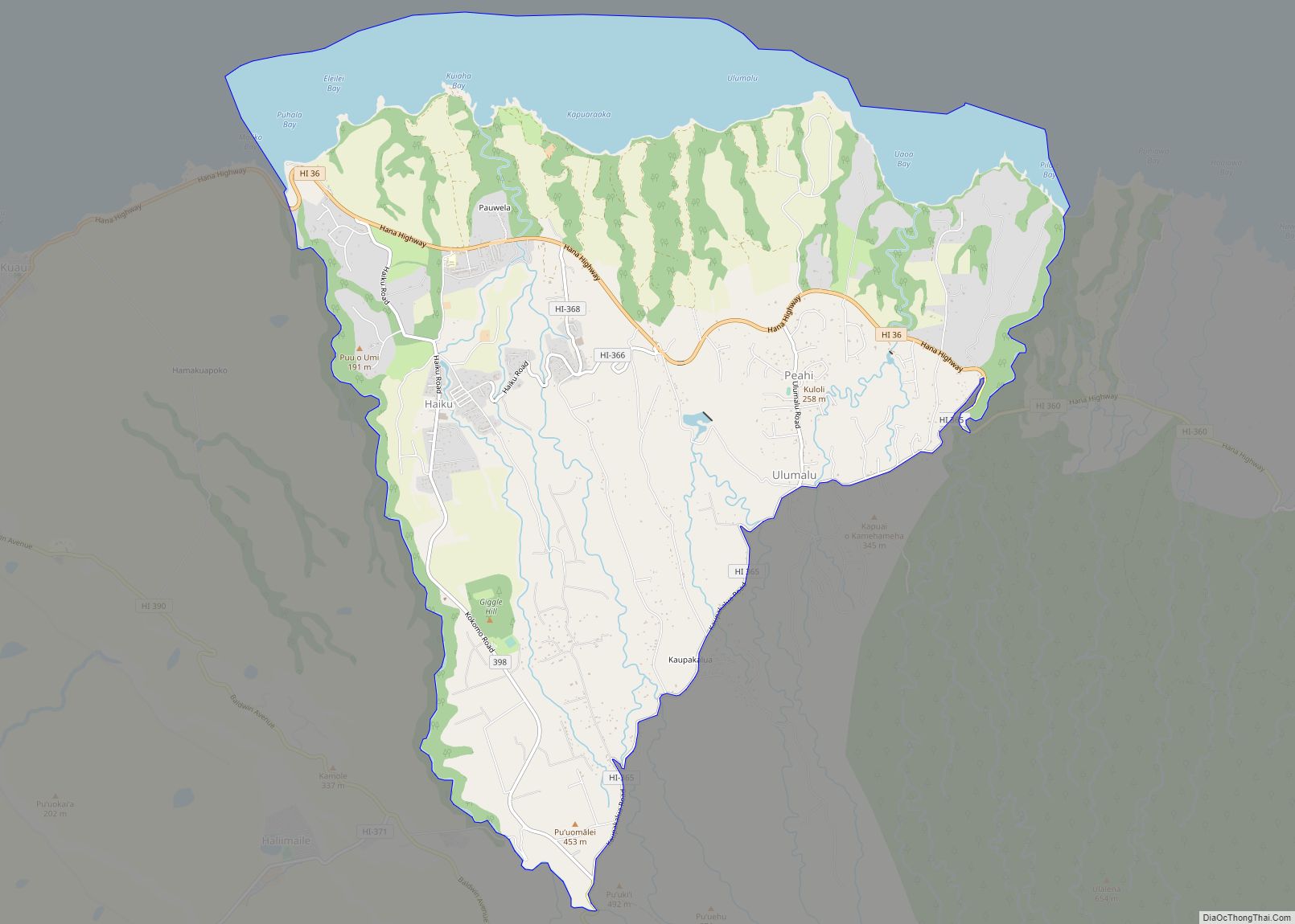
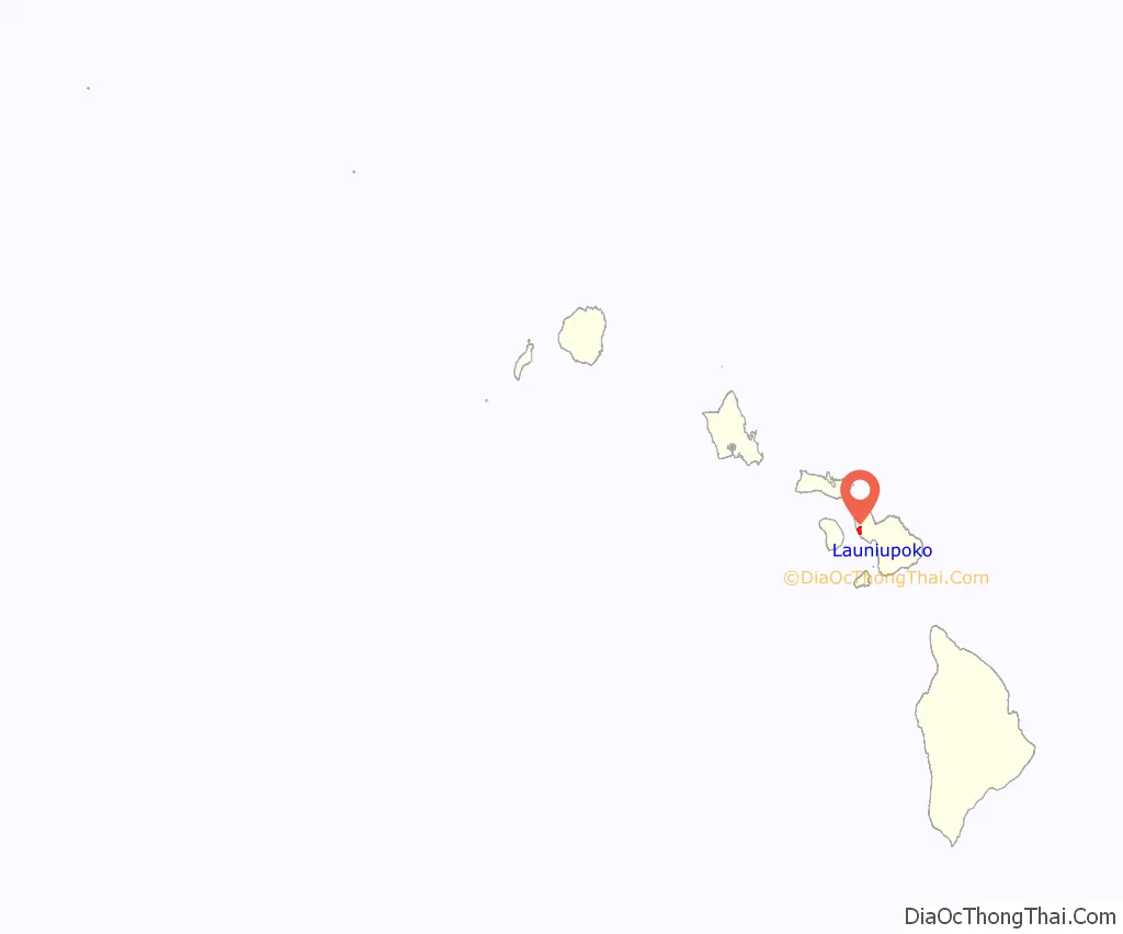
Launiupoko location map. Where is Launiupoko CDP?
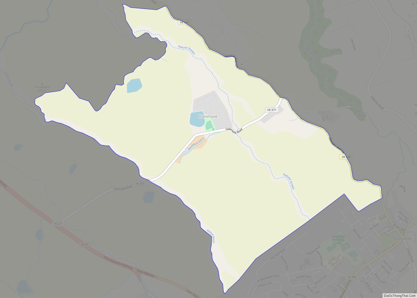
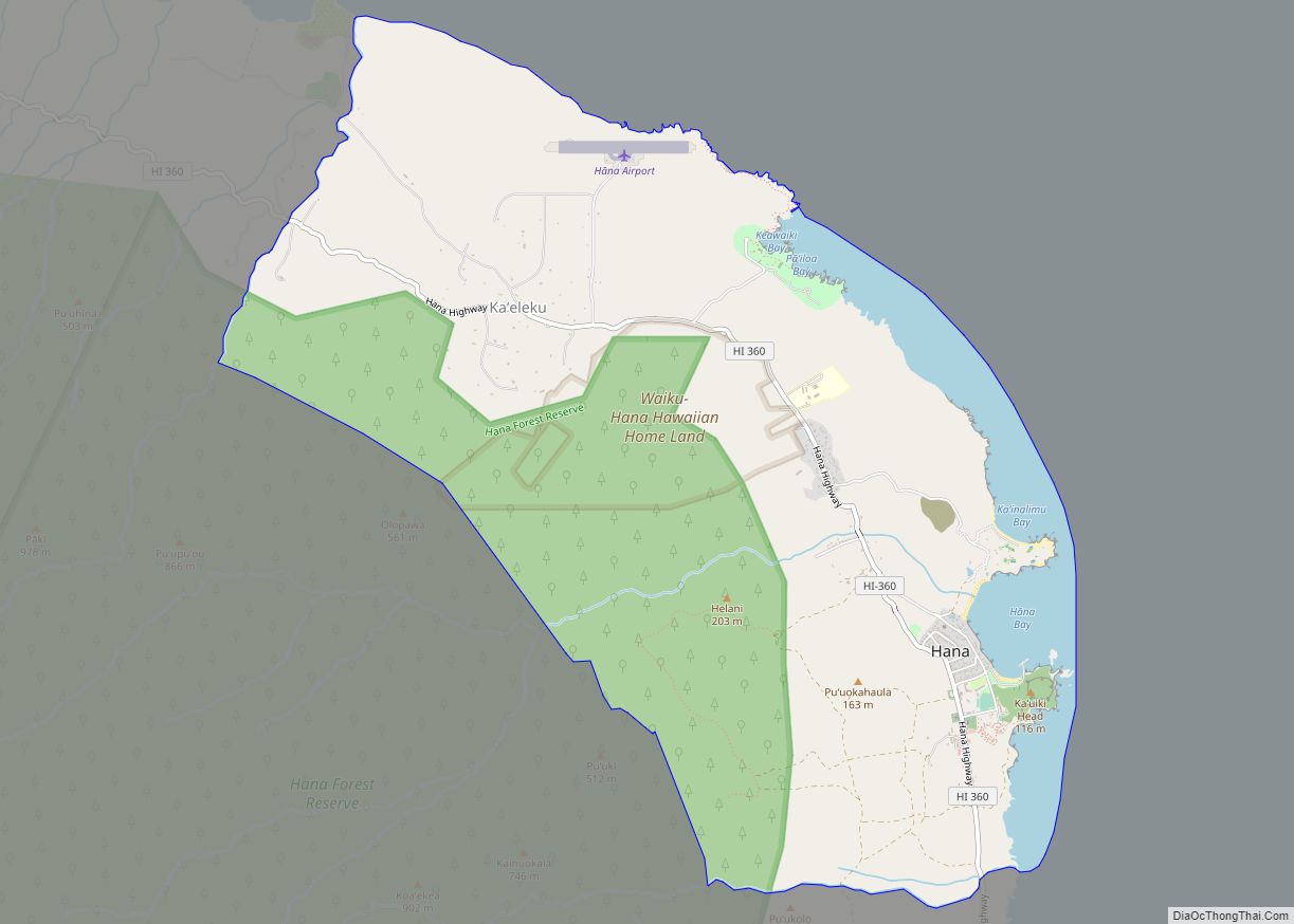
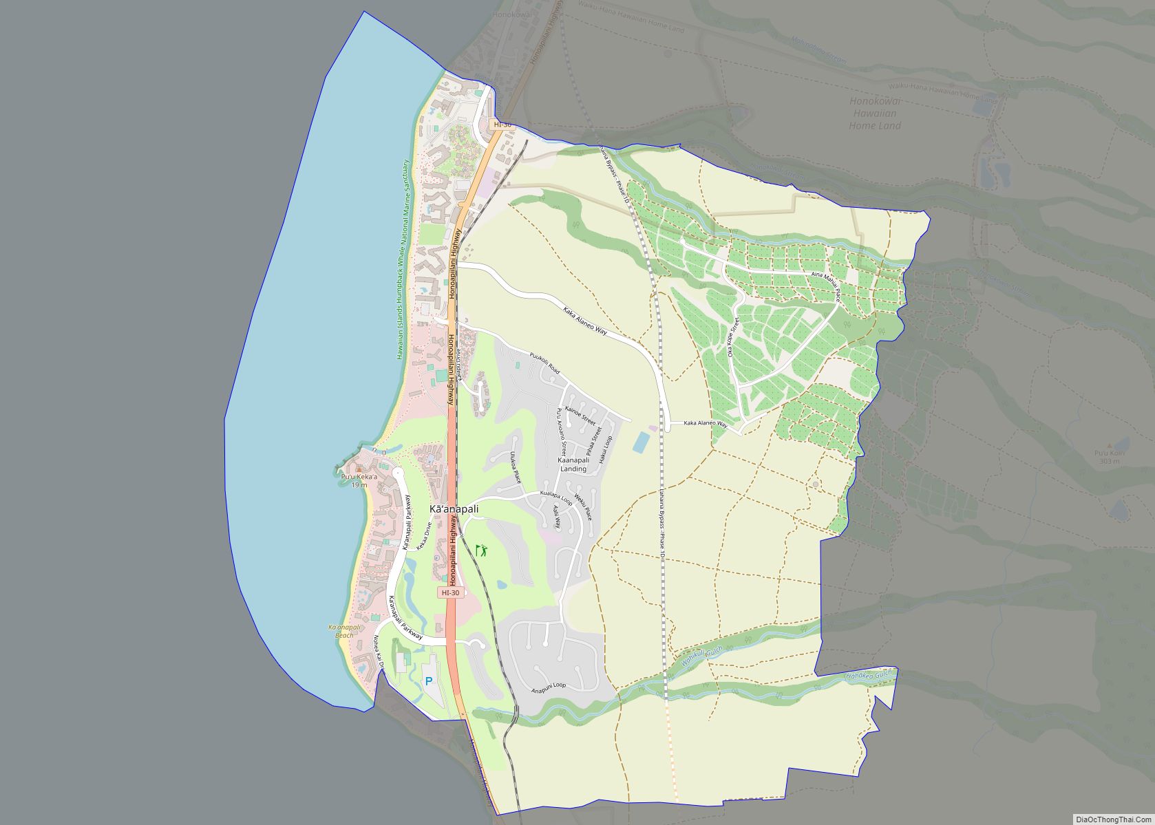
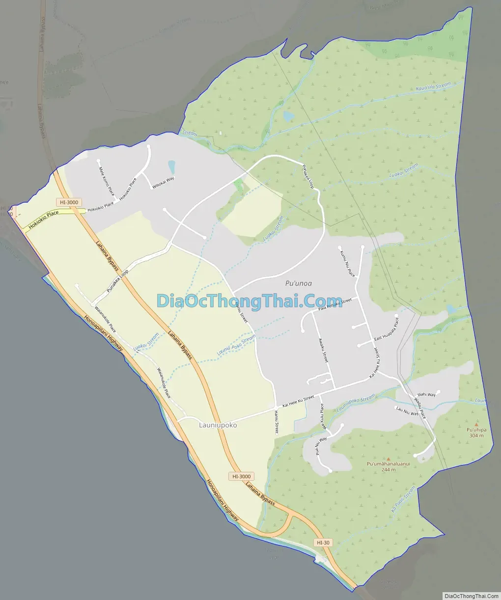
Launiupoko Road Map
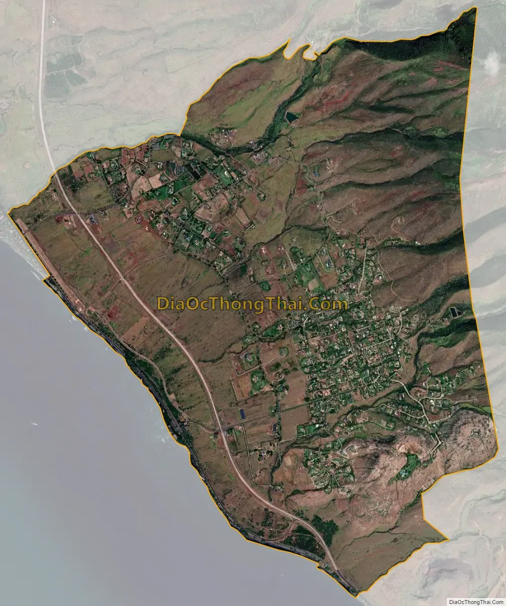
Launiupoko city Satellite Map
Geography
According to the U.S. Census Bureau, the community has an area of 5.333 square miles (13.81 km), of which 5.327 square miles (13.80 km) is land and 0.006 square miles (0.016 km) is water.
See also
Map of Hawaii State and its subdivision: Map of other states:- Alabama
- Alaska
- Arizona
- Arkansas
- California
- Colorado
- Connecticut
- Delaware
- District of Columbia
- Florida
- Georgia
- Hawaii
- Idaho
- Illinois
- Indiana
- Iowa
- Kansas
- Kentucky
- Louisiana
- Maine
- Maryland
- Massachusetts
- Michigan
- Minnesota
- Mississippi
- Missouri
- Montana
- Nebraska
- Nevada
- New Hampshire
- New Jersey
- New Mexico
- New York
- North Carolina
- North Dakota
- Ohio
- Oklahoma
- Oregon
- Pennsylvania
- Rhode Island
- South Carolina
- South Dakota
- Tennessee
- Texas
- Utah
- Vermont
- Virginia
- Washington
- West Virginia
- Wisconsin
- Wyoming