Makawao is a census-designated place (CDP) in Maui County, Hawaiʻi, United States. The population was 7,297 at the 2020 census. Located on the rural northwest slope of Haleakala on East Maui, the community is known for being the hub of the “Upcountry”, a part of the island dominated by mostly agriculture and ranch land. Makawao Forest Reserve is to the east-northeast.
| Name: | Makawao CDP |
|---|---|
| LSAD Code: | 57 |
| LSAD Description: | CDP (suffix) |
| State: | Hawaii |
| County: | Maui County |
| Elevation: | 1,578 ft (481 m) |
| Total Area: | 3.55 sq mi (9.18 km²) |
| Land Area: | 3.55 sq mi (9.18 km²) |
| Water Area: | 0.00 sq mi (0.00 km²) |
| Total Population: | 7,297 |
| Population Density: | 2,057.81/sq mi (794.54/km²) |
| ZIP code: | 96768 |
| Area code: | 808 |
| FIPS code: | 1548050 |
| GNISfeature ID: | 0362090 |
Online Interactive Map
Click on ![]() to view map in "full screen" mode.
to view map in "full screen" mode.
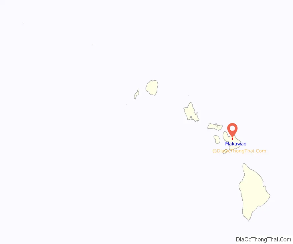
Makawao location map. Where is Makawao CDP?
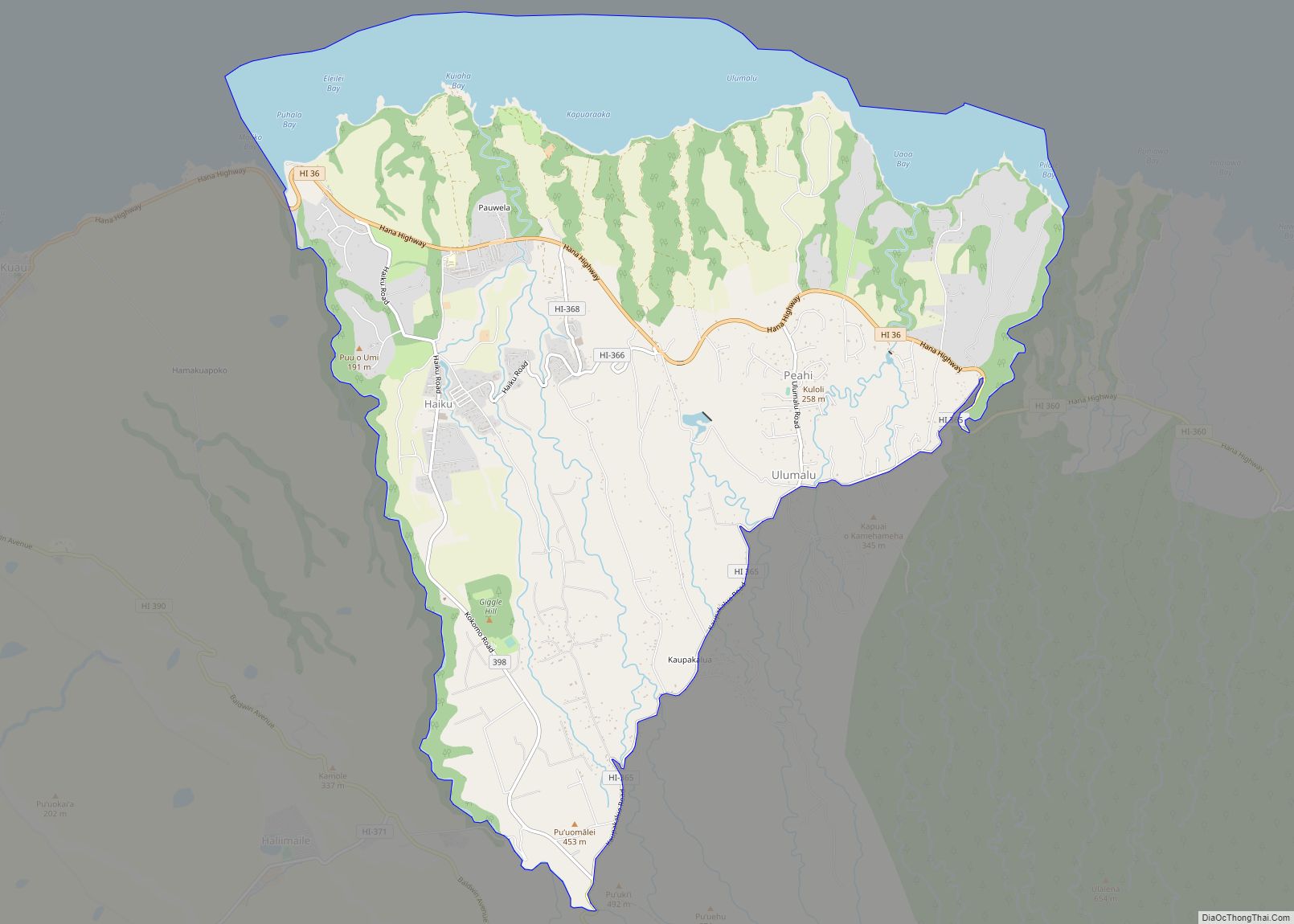
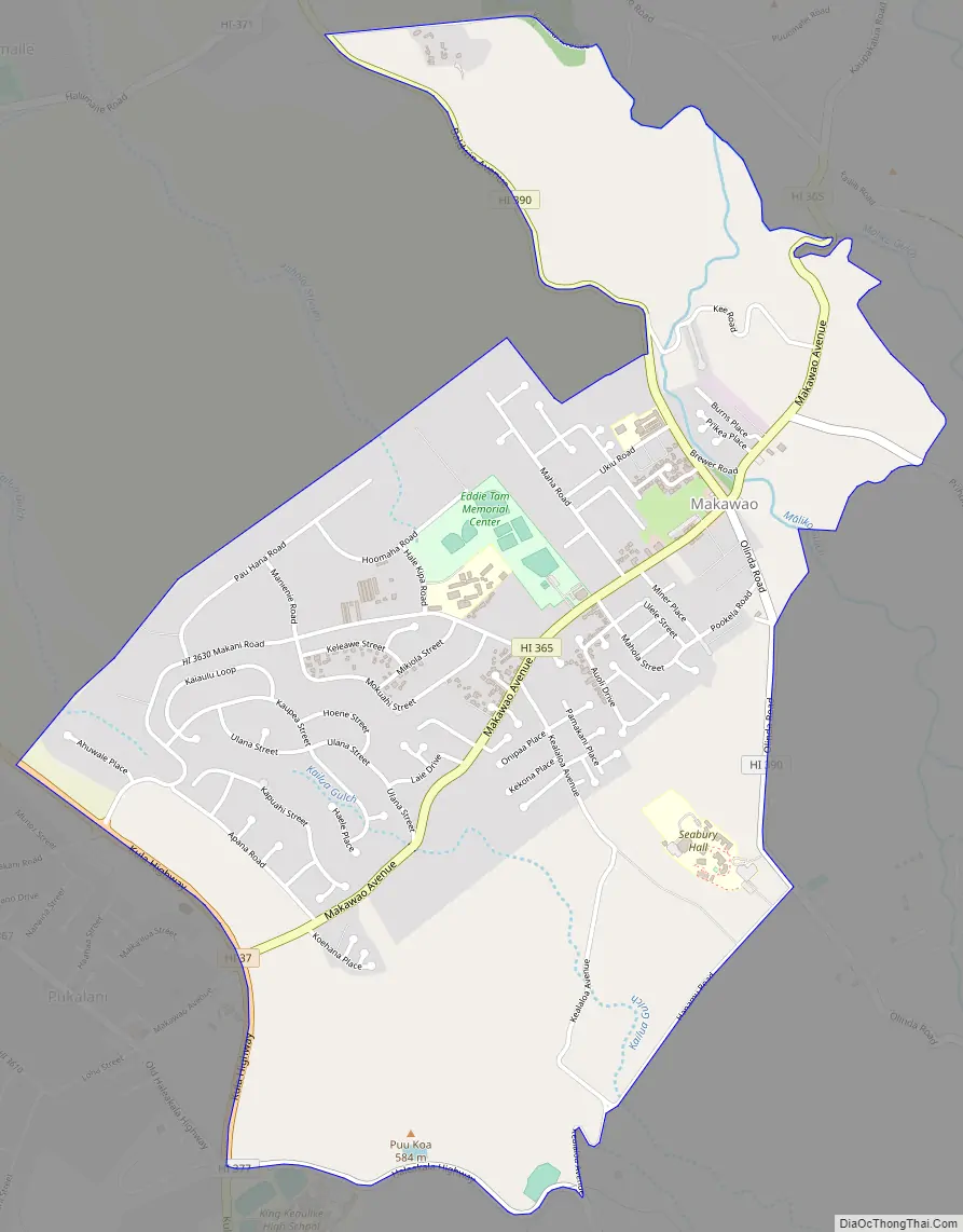
Makawao Road Map
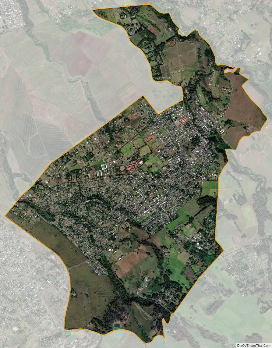
Makawao city Satellite Map
Geography
Makawao is located at 20°51′13″N 156°19′1″W / 20.85361°N 156.31694°W / 20.85361; -156.31694 (20.853657, -156.316951).
According to the United States Census Bureau, the CDP has a total area of 3.5 square miles (9.0 km), all of it land.
See also
Map of Hawaii State and its subdivision: Map of other states:- Alabama
- Alaska
- Arizona
- Arkansas
- California
- Colorado
- Connecticut
- Delaware
- District of Columbia
- Florida
- Georgia
- Hawaii
- Idaho
- Illinois
- Indiana
- Iowa
- Kansas
- Kentucky
- Louisiana
- Maine
- Maryland
- Massachusetts
- Michigan
- Minnesota
- Mississippi
- Missouri
- Montana
- Nebraska
- Nevada
- New Hampshire
- New Jersey
- New Mexico
- New York
- North Carolina
- North Dakota
- Ohio
- Oklahoma
- Oregon
- Pennsylvania
- Rhode Island
- South Carolina
- South Dakota
- Tennessee
- Texas
- Utah
- Vermont
- Virginia
- Washington
- West Virginia
- Wisconsin
- Wyoming