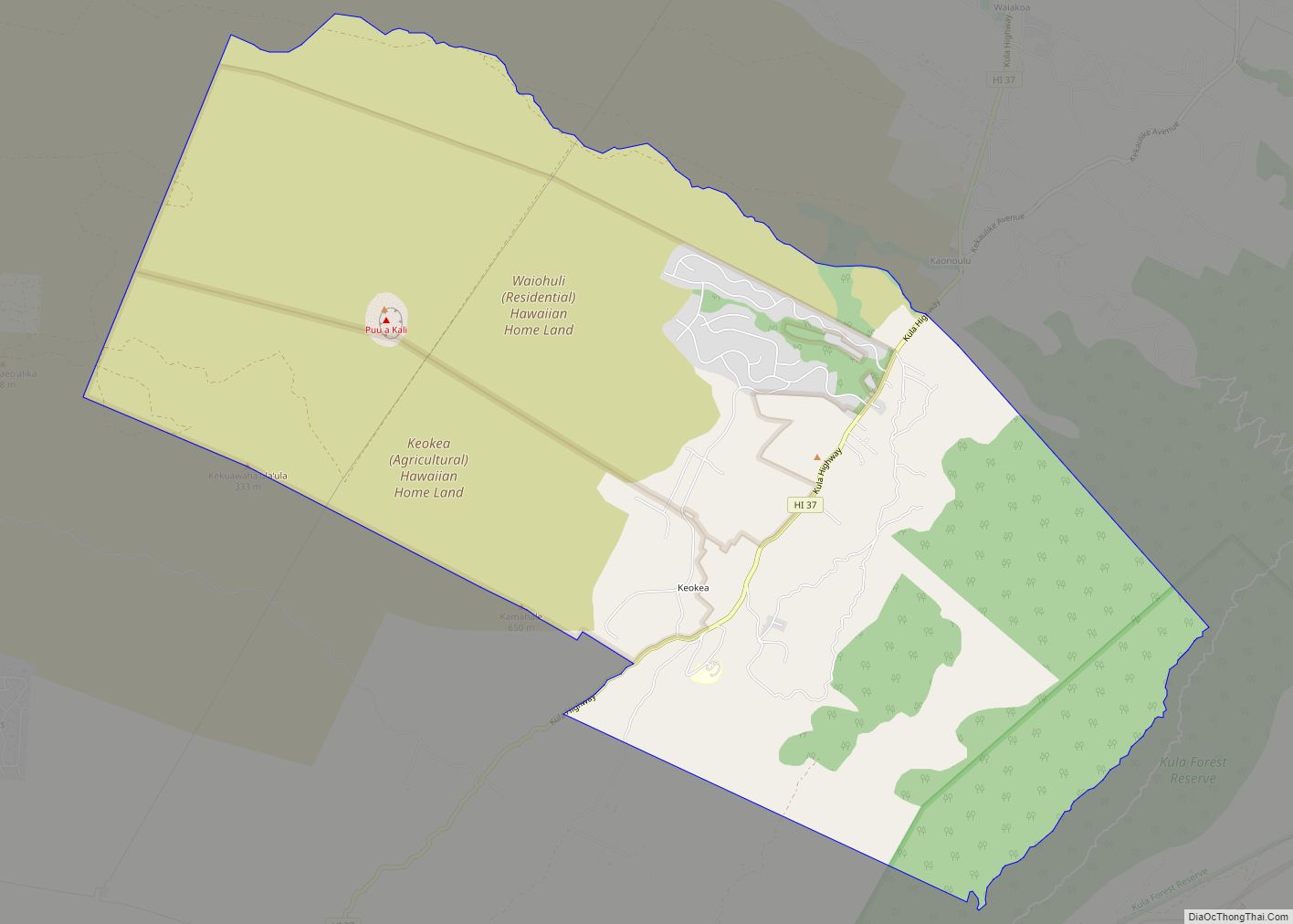
Olinda is an agricultural and residential community on the island of Maui in the U.S. state of Hawaii, located approximately 2 miles (3 km) southeast of Makawao. It ranges in elevation from 1,800 to 4,200 feet (550 to 1,280 m) on the northern slopes of Haleakala. It is a census-designated place, with a population of 1,188 at the 2020 census and an area of 7.5 square miles (19 km).
Mark Twain once lived on Olinda Road.
The Rainbow Bridge concert by Jimi Hendrix was held in a cowfield just off Olinda Road.
| Name: | Olinda CDP |
|---|---|
| LSAD Code: | 57 |
| LSAD Description: | CDP (suffix) |
| State: | Hawaii |
| County: | Maui County |
| Elevation: | 2,700 ft (800 m) |
| Total Area: | 7.50 sq mi (19.4 km²) |
| Land Area: | 7.50 sq mi (19.4 km²) |
| Water Area: | 0.0 sq mi (0 km²) |
| Total Population: | 1,188 |
| Population Density: | 158.5/sq mi (61.2/km²) |
| ZIP code: | 96768 (Makawao) |
| Area code: | 808 |
| FIPS code: | 1557350 |
Online Interactive Map
Click on ![]() to view map in "full screen" mode.
to view map in "full screen" mode.
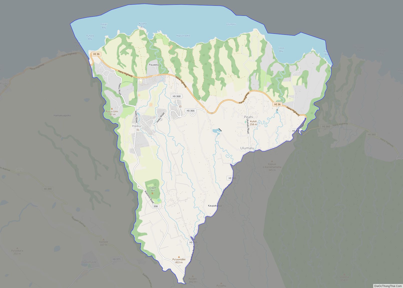
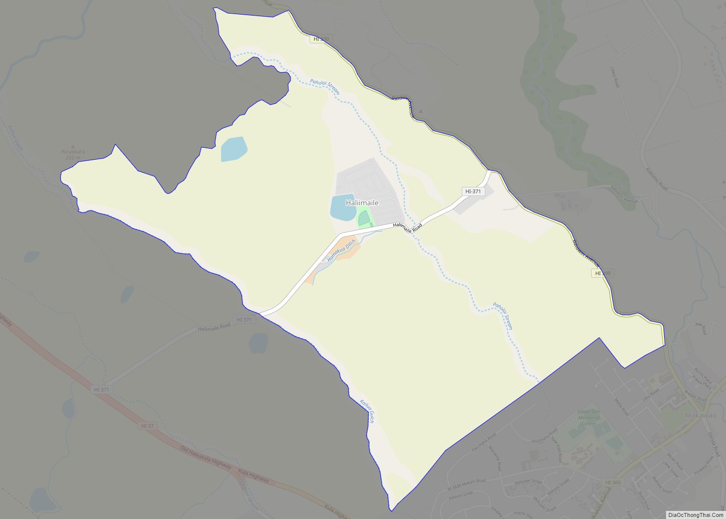
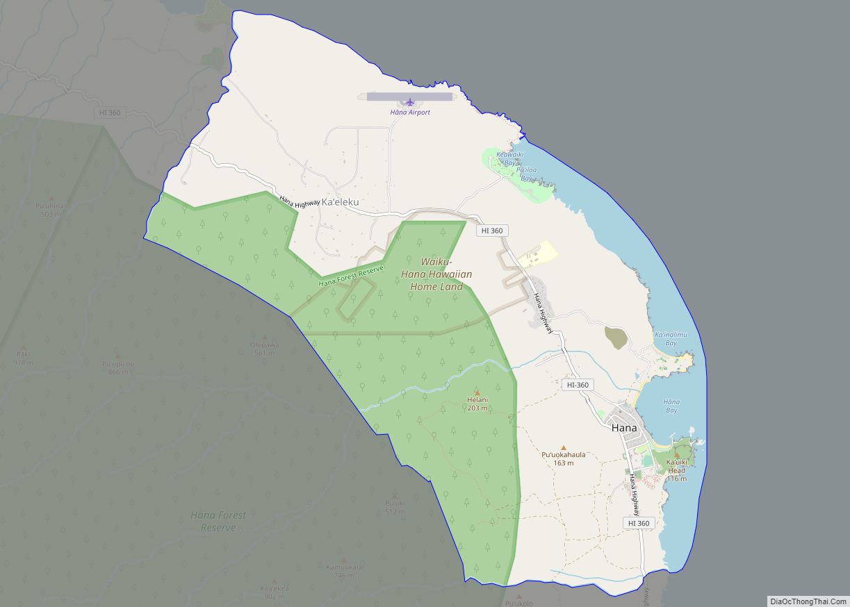
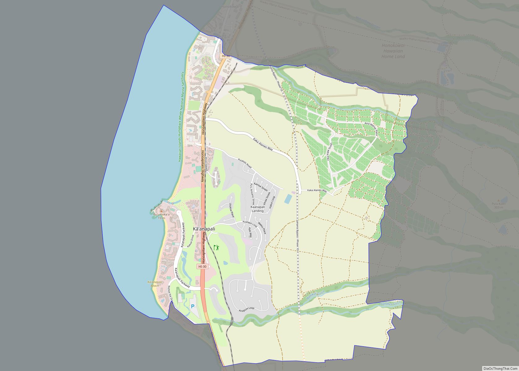
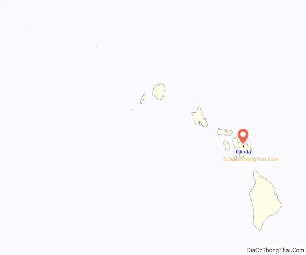
Olinda location map. Where is Olinda CDP?
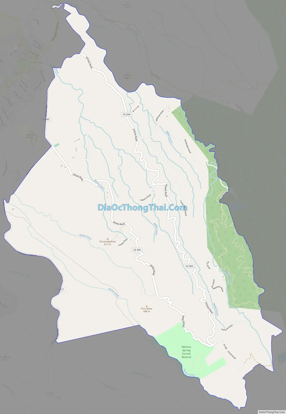
Olinda Road Map
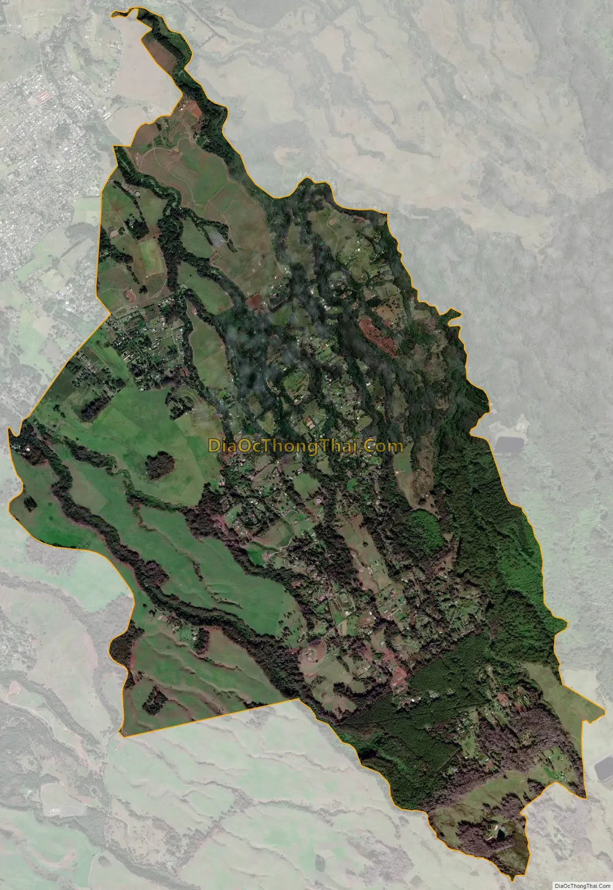
Olinda city Satellite Map
See also
Map of Hawaii State and its subdivision: Map of other states:- Alabama
- Alaska
- Arizona
- Arkansas
- California
- Colorado
- Connecticut
- Delaware
- District of Columbia
- Florida
- Georgia
- Hawaii
- Idaho
- Illinois
- Indiana
- Iowa
- Kansas
- Kentucky
- Louisiana
- Maine
- Maryland
- Massachusetts
- Michigan
- Minnesota
- Mississippi
- Missouri
- Montana
- Nebraska
- Nevada
- New Hampshire
- New Jersey
- New Mexico
- New York
- North Carolina
- North Dakota
- Ohio
- Oklahoma
- Oregon
- Pennsylvania
- Rhode Island
- South Carolina
- South Dakota
- Tennessee
- Texas
- Utah
- Vermont
- Virginia
- Washington
- West Virginia
- Wisconsin
- Wyoming