Olowalu is a community on the west side of the island of Maui in the state of Hawaii. It is located about 4 miles (6 km) south of Lahaina on the Honoapiʻilani Highway. It is a census-designated place (CDP), with a population at the 2020 census of 100.
It once sustained a large population, governed by the high chiefess Kalola, daughter of Maui ruler Kekaulike, and grandmother of Keopuolani. It was home to a traditional farming community until the arrival of the Europeans, who replaced it with a sugarcane plantation. The massacre in 1790, as well as the labor-intensivesandalwood trade up-country, contributed to the site’s decline. A substantial real estate development is under consideration for the area. The area is home to one of Hawaii’s most striking reefs.
| Name: | Olowalu CDP |
|---|---|
| LSAD Code: | 57 |
| LSAD Description: | CDP (suffix) |
| State: | Hawaii |
| County: | Maui County |
| Elevation: | 6 m (20 ft) |
| Total Area: | 7.6 km² (2.94 sq mi) |
| Land Area: | 7.6 km² (2.94 sq mi) |
| Total Population: | 100 |
| Population Density: | 13.12/km² (33.97/sq mi) |
| ZIP code: | 96761 (Lahaina) |
| Area code: | 808 |
| FIPS code: | 1557650 |
Online Interactive Map
Click on ![]() to view map in "full screen" mode.
to view map in "full screen" mode.
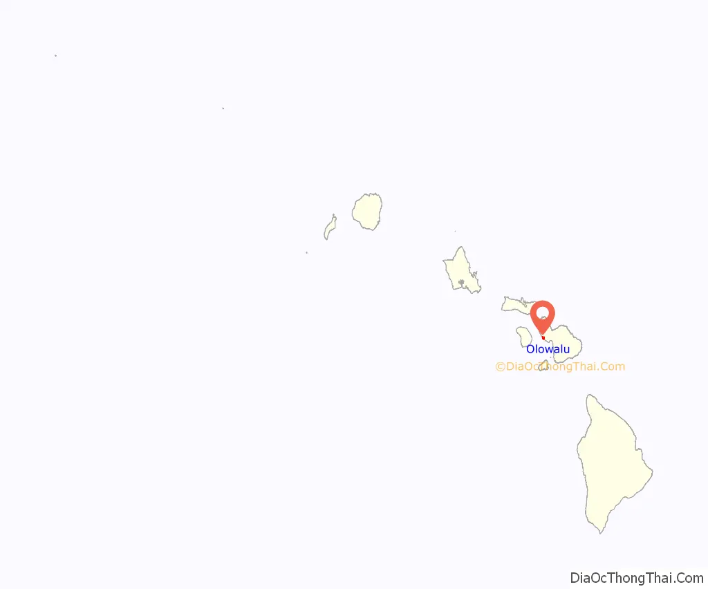
Olowalu location map. Where is Olowalu CDP?
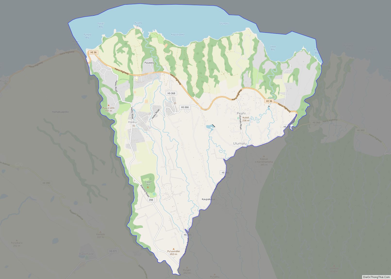
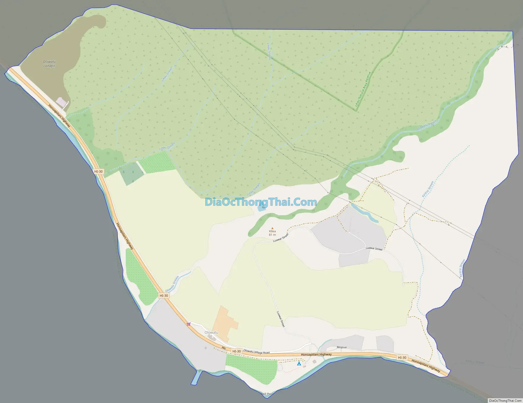
Olowalu Road Map
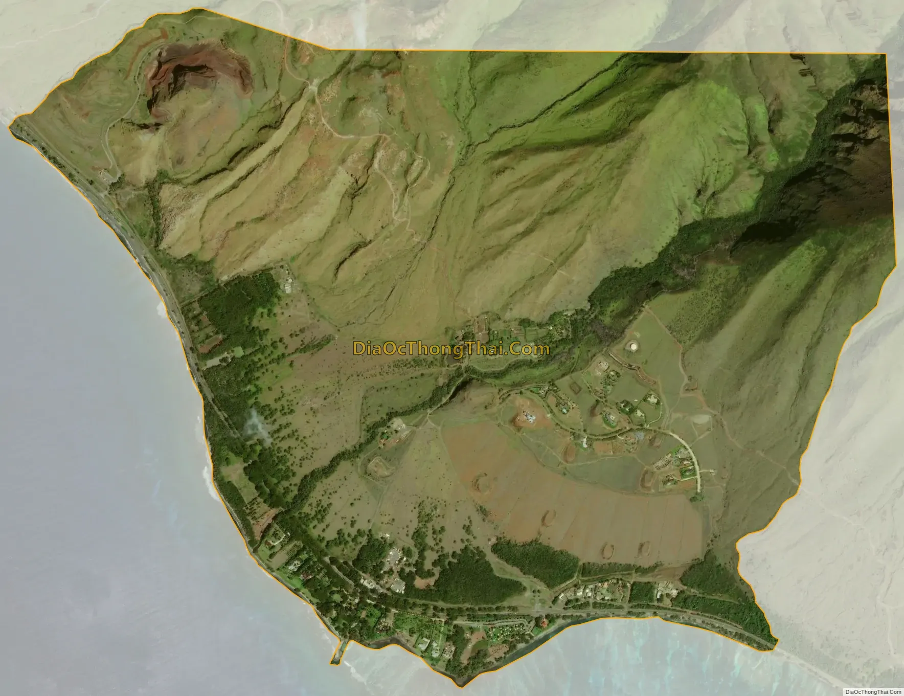
Olowalu city Satellite Map
Geography
The top of the Olowalu ahupuaʻa on Pu’u Kukui reaches 4,457 feet (1,358 m) feet. Its boundaries trace downhill between LThau Mountain on the north and LThau ‘Ula Mountain on the south. Olowalu Valley and ‘Iao Valley were linked by an ancient trail until landslides covered the summit.
Olowalu Valley opens up to a fan-shaped alluvial plain.
When the Olowalu hills were cleared of sandalwood and hardwoods, Olowalu Valley became a much dryer environment, from mountains to shore. Reforestation of the LThau mountains with sandalwood and ‘ohi’a lehua is a major long-range goal of the OCR, and a huge undertaking requiring partnership with the Hawaii Department of Land and Natural Resources (DLNR).
Increased condensation drip in the high forest, added to conservation methods on the kula, are an opportunity to restore past moisture levels to Olowalu Valley. Every activity in an ahupua’a was carried out within the context of a spiritual and cultural belief system that maintained harmony, balance, and peace for both seen and unseen life forms of all creation. Restoring the OCR is a foundation for bringing the concept of sanctuary back into present day culture, and redeeming the powerful history of Olowalu as a functioning pu’uhonua.
See also
Map of Hawaii State and its subdivision: Map of other states:- Alabama
- Alaska
- Arizona
- Arkansas
- California
- Colorado
- Connecticut
- Delaware
- District of Columbia
- Florida
- Georgia
- Hawaii
- Idaho
- Illinois
- Indiana
- Iowa
- Kansas
- Kentucky
- Louisiana
- Maine
- Maryland
- Massachusetts
- Michigan
- Minnesota
- Mississippi
- Missouri
- Montana
- Nebraska
- Nevada
- New Hampshire
- New Jersey
- New Mexico
- New York
- North Carolina
- North Dakota
- Ohio
- Oklahoma
- Oregon
- Pennsylvania
- Rhode Island
- South Carolina
- South Dakota
- Tennessee
- Texas
- Utah
- Vermont
- Virginia
- Washington
- West Virginia
- Wisconsin
- Wyoming