Pā’ia (Hawaiian: Pāʻia [paːˈʔijə]) is a census-designated place (CDP) in Maui County, Hawaii, United States, on the northern coast of the island of Maui. The population was 2,470 at the 2020 census. Pā’ia is home to several restaurants, art galleries, surf shops and other tourist-oriented businesses. It was formerly home to a Hawaiian Commercial & Sugar mill from 1880 to 2000.
Pā’ia is the first town on the Hana Highway when heading eastbound towards Hana.
Pā’ia is located close to many internationally known windsurfing spots including Hoʻokipa and Spreckelsville. It is therefore sometimes called “The World Capital of Windsurfing”.
| Name: | Paia CDP |
|---|---|
| LSAD Code: | 57 |
| LSAD Description: | CDP (suffix) |
| State: | Hawaii |
| County: | Maui County |
| Elevation: | 230 ft (70 m) |
| Total Area: | 7.46 sq mi (19.33 km²) |
| Land Area: | 6.13 sq mi (15.88 km²) |
| Water Area: | 1.33 sq mi (3.45 km²) |
| Total Population: | 2,470 |
| Population Density: | 402.87/sq mi (155.56/km²) |
| ZIP code: | 96779 |
| Area code: | 808 |
| FIPS code: | 1560200 |
| GNISfeature ID: | 0362968 |
Online Interactive Map
Click on ![]() to view map in "full screen" mode.
to view map in "full screen" mode.
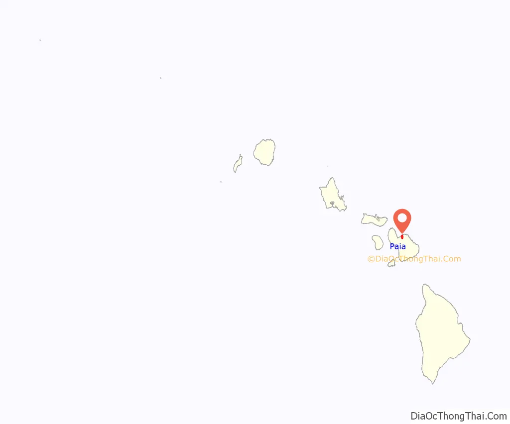
Paia location map. Where is Paia CDP?
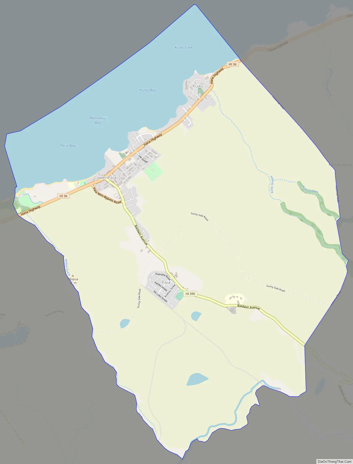
Paia Road Map
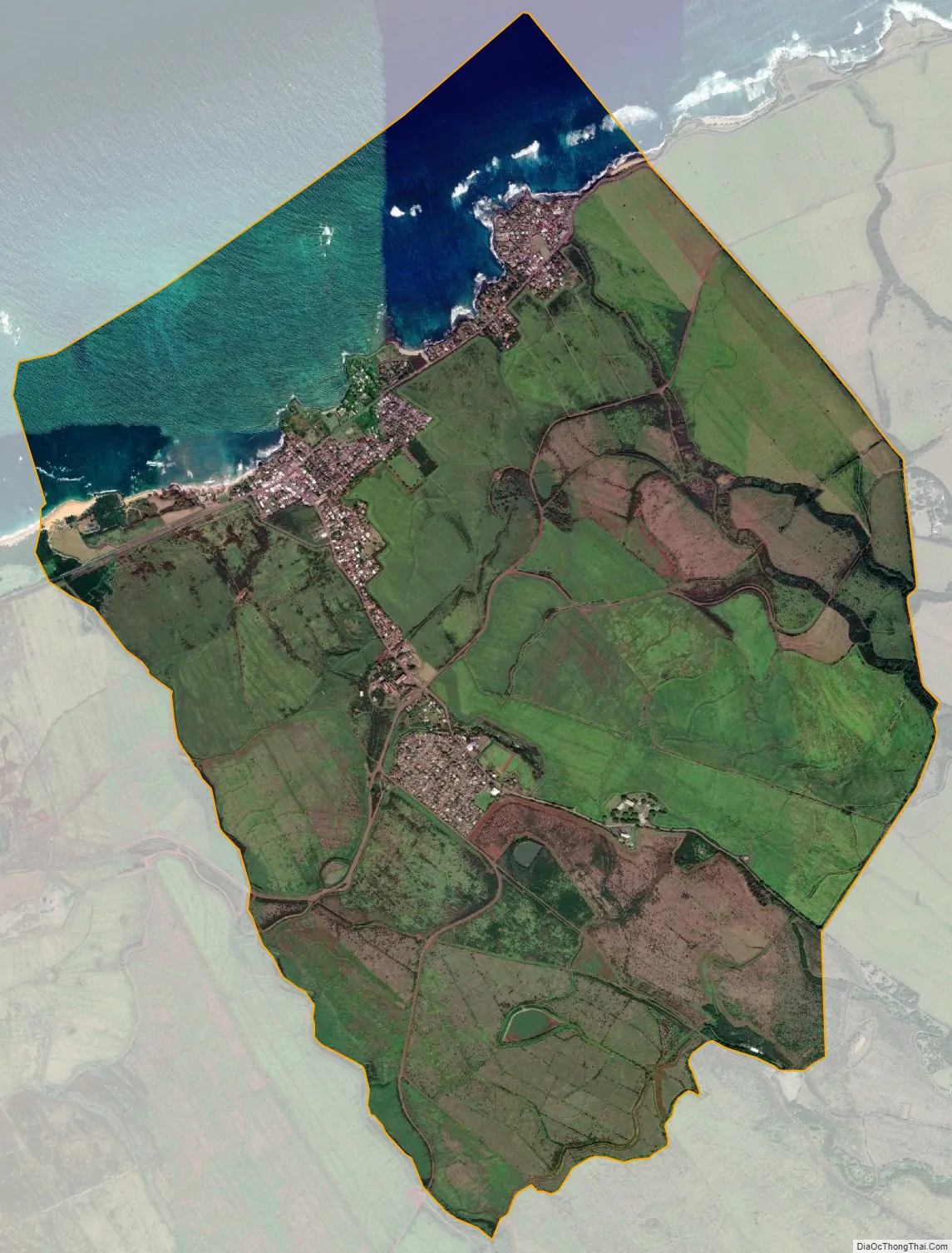
Paia city Satellite Map
Geography
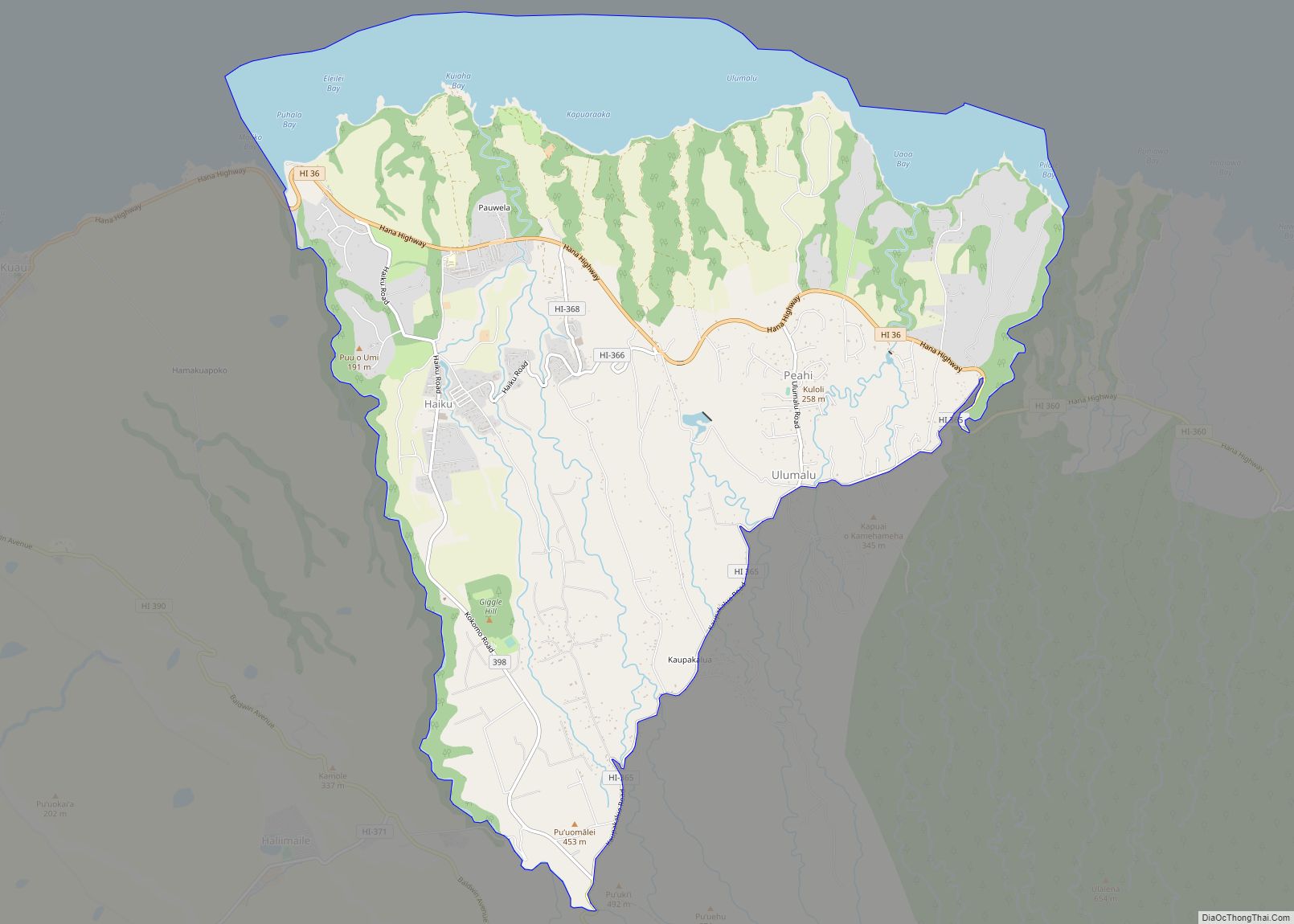
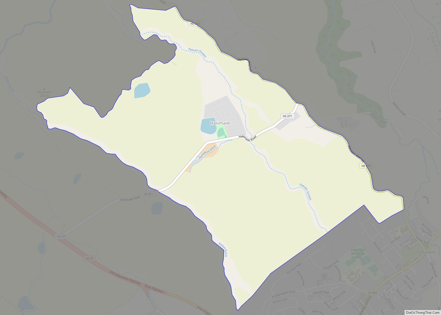
Paia is located at 20°54′38″N 156°22′35″W / 20.91056°N 156.37639°W / 20.91056; -156.37639 (20.910694, -156.376340). Spreckelsville lies to the west, Haiku to the east, and Haliimaile to the south.
According to the United States Census Bureau, the CDP has a total area of 7.5 square miles (19.3 km), of which 6.1 square miles (15.9 km) is land and 1.3 square miles (3.4 km), or 17.84%, is water.
See also
Map of Hawaii State and its subdivision: Map of other states:- Alabama
- Alaska
- Arizona
- Arkansas
- California
- Colorado
- Connecticut
- Delaware
- District of Columbia
- Florida
- Georgia
- Hawaii
- Idaho
- Illinois
- Indiana
- Iowa
- Kansas
- Kentucky
- Louisiana
- Maine
- Maryland
- Massachusetts
- Michigan
- Minnesota
- Mississippi
- Missouri
- Montana
- Nebraska
- Nevada
- New Hampshire
- New Jersey
- New Mexico
- New York
- North Carolina
- North Dakota
- Ohio
- Oklahoma
- Oregon
- Pennsylvania
- Rhode Island
- South Carolina
- South Dakota
- Tennessee
- Texas
- Utah
- Vermont
- Virginia
- Washington
- West Virginia
- Wisconsin
- Wyoming