Wailea is a census-designated place (CDP) in Maui County, Hawaii, United States. As of the 2020 census, it had a population of 6,027. Prior to 2010, the area was part of the Wailea-Makena census-designated place. The community was developed in 1971 by a partnership of Alexander & Baldwin and Northwestern Mutual.
| Name: | Wailea CDP |
|---|---|
| LSAD Code: | 57 |
| LSAD Description: | CDP (suffix) |
| State: | Hawaii |
| County: | Maui County |
| Total Area: | 10.74 sq mi (27.82 km²) |
| Land Area: | 7.44 sq mi (19.28 km²) |
| Water Area: | 3.30 sq mi (8.54 km²) |
| Total Population: | 6,027 |
| Population Density: | 809.65/sq mi (312.59/km²) |
| Area code: | 808 |
| FIPS code: | 1576925 |
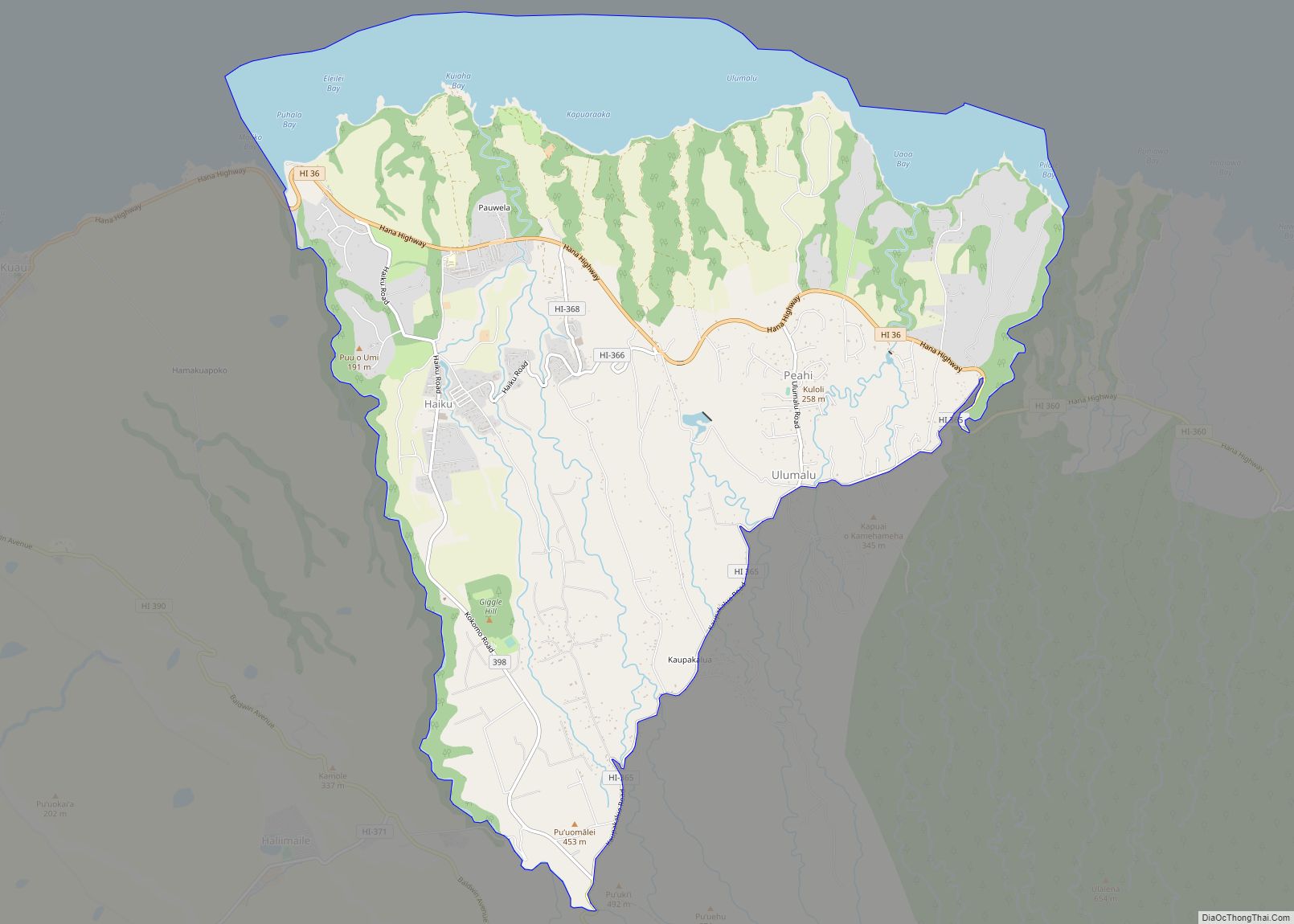
Online Interactive Map
Click on ![]() to view map in "full screen" mode.
to view map in "full screen" mode.
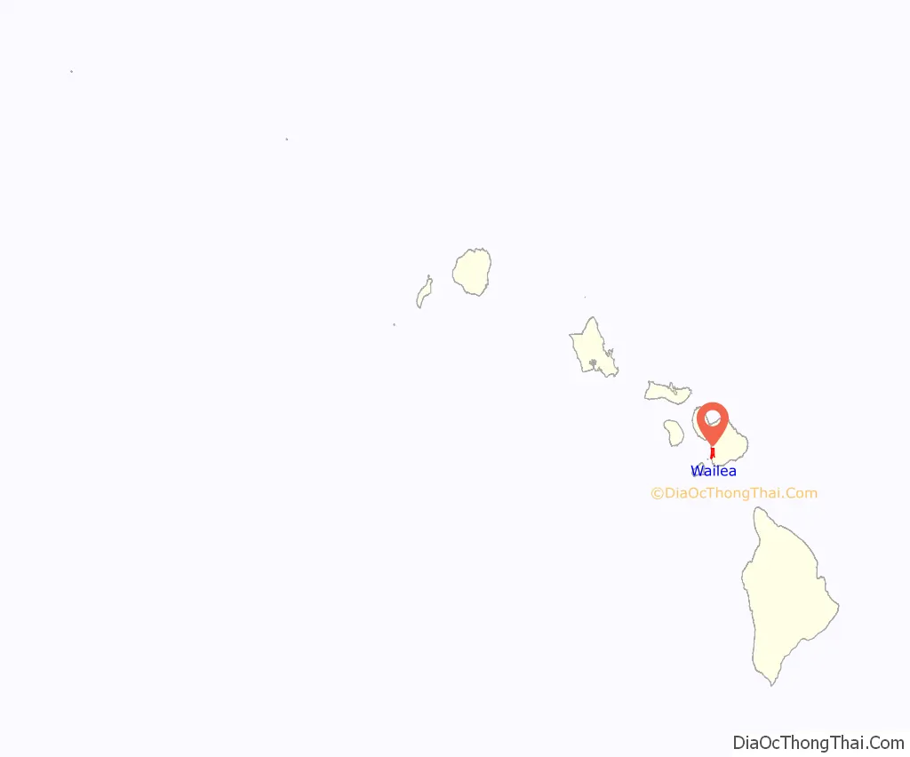
Wailea location map. Where is Wailea CDP?
History
Wailea was originally a fishing settlement and its name translates to “water of lea” the goddess of canoe-builders. Legend has it she transformed the area into a beautiful forest for birds and would frequently fly above it to appreciate its beauty. In ancient Hawaiian times they would settle toward the mountains of Wailea where they grew sweet potatoes (uala) and would venture down to the shore to fish. Great Māhele
In the past two centuries cattle raising became a mainstay of the economy and led to the formation of places such as Ulupalakua Ranch.
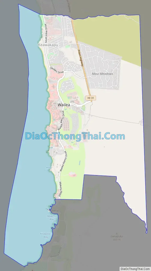
Wailea Road Map
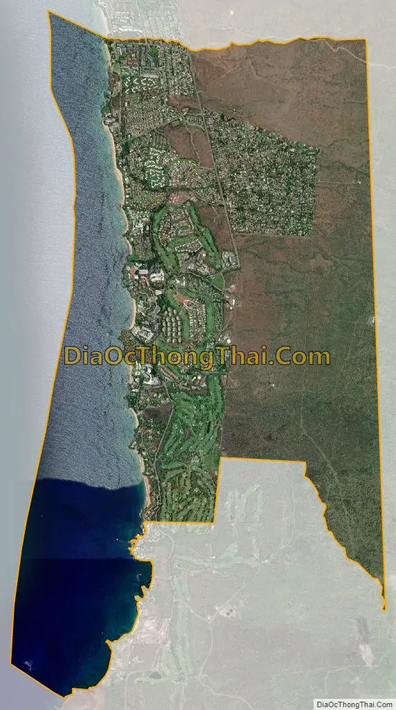
Wailea city Satellite Map
Geography
Wailea is located at 20°41′24″N 156°26′21″W / 20.69000°N 156.43917°W / 20.69000; -156.43917 (20.690104, -156.439108).
According to the United States Census Bureau, the CDP covers an area of 10.7 square miles (27.8 km), of which 7.5 square miles (19.3 km) is land and 3.3 square miles (8.5 km), or 30.70%, is water.
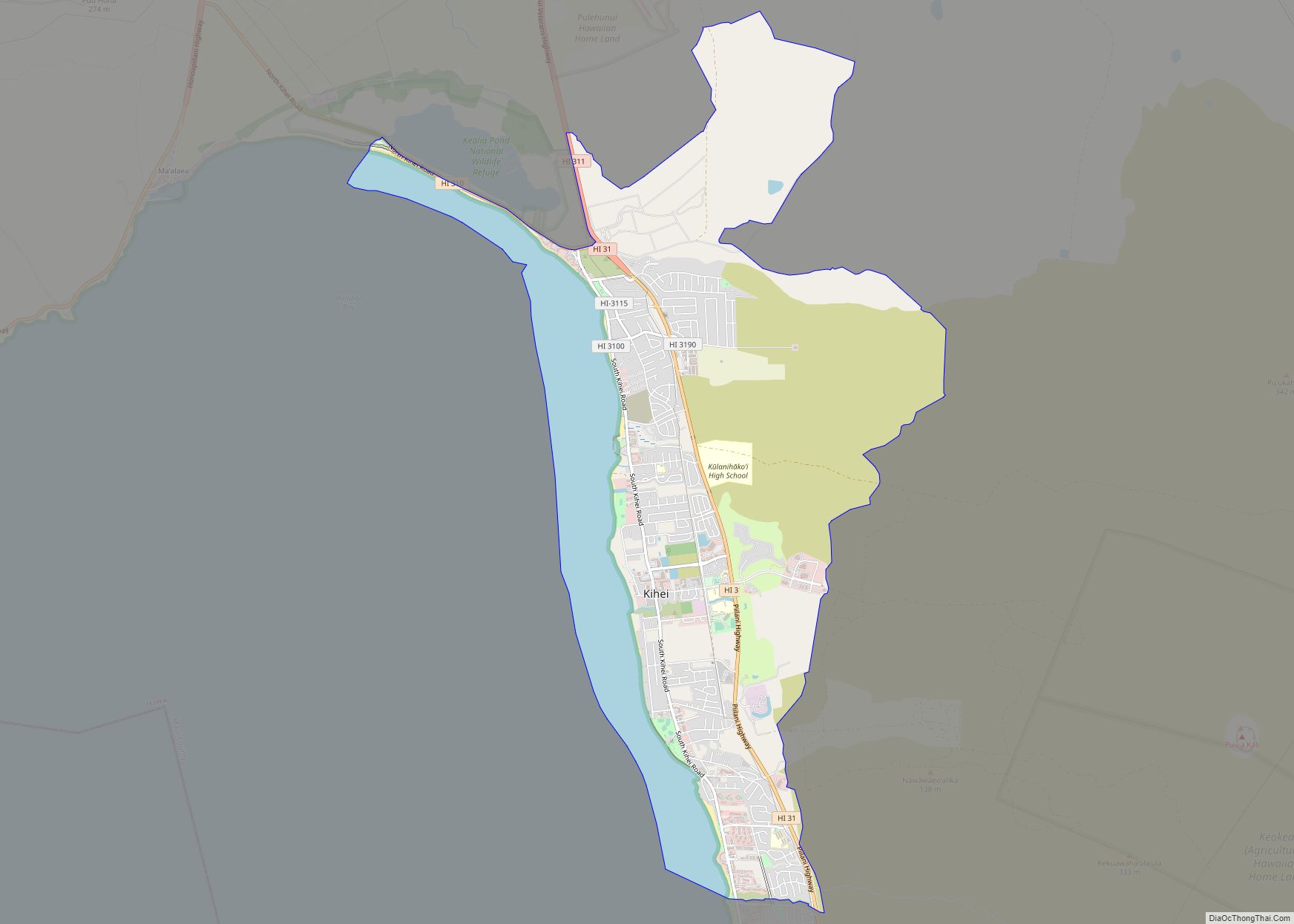
Wailea is bordered by Makena to the south, Kihei to the north, the Pacific to the west and Haleakalā to the east.
Wailea has multiple beaches, including Polo, Wailea, Ulua, Mokapu, and Keawakapu.
See also
Map of Hawaii State and its subdivision: Map of other states:- Alabama
- Alaska
- Arizona
- Arkansas
- California
- Colorado
- Connecticut
- Delaware
- District of Columbia
- Florida
- Georgia
- Hawaii
- Idaho
- Illinois
- Indiana
- Iowa
- Kansas
- Kentucky
- Louisiana
- Maine
- Maryland
- Massachusetts
- Michigan
- Minnesota
- Mississippi
- Missouri
- Montana
- Nebraska
- Nevada
- New Hampshire
- New Jersey
- New Mexico
- New York
- North Carolina
- North Dakota
- Ohio
- Oklahoma
- Oregon
- Pennsylvania
- Rhode Island
- South Carolina
- South Dakota
- Tennessee
- Texas
- Utah
- Vermont
- Virginia
- Washington
- West Virginia
- Wisconsin
- Wyoming