Alpine is a borough in Bergen County, New Jersey, United States, approximately 15 miles (24 km) north of Midtown Manhattan. It is the easternmost community in New Jersey.
As of the 2020 United States census, the borough’s population was 1,762, a decrease of 87 (−4.7%) from the 2010 census count of 1,849, which in turn reflected a decline of 334 (−15.3%) from the 2,183 counted in the 2000 census.
In 2012, Forbes ranked Alpine as America’s most expensive ZIP Code with a median home price of $4.25 million. It was ranked 4th in the magazine’s 2010 listing of “America’s Most Expensive ZIP Codes”, with a median home price of $3,814,885. In 2009, Forbes ranked Alpine first, along with Greenwich, Connecticut, with a median home price of $4.14 million. Alpine was tied with Greenwich for first in both 2006 and 2007 on the ABC News list of most expensive ZIP Codes, with a median home sale price of $3.4 million. In 2019, PropertyShark ranked Alpine as the 53rd most expensive ZIP Code in the country with a median sales price of $1,785,000, a drop from a ranking of 33rd nationwide in 2018 due to a decline of 19% in sales prices. Based on data from the 2006–2010 American Community Survey, the borough had a per-capita income of $107,604, ranked second in the state.
New Jersey Monthly magazine ranked Alpine as its 15th best place to live in its 2008 rankings of the “Best Places To Live” in New Jersey.
Alpine was formed by an act of the New Jersey Legislature on April 8, 1903, from portions of Harrington Township. The borough acquired a portion of Cresskill in 1904. The borough’s name came from the wife of journalist Charles Nordhoff, who found the setting reminiscent of the Swiss Alps.
| Name: | Alpine borough |
|---|---|
| LSAD Code: | 21 |
| LSAD Description: | borough (suffix) |
| State: | New Jersey |
| County: | Bergen County |
| Incorporated: | April 8, 1903 |
| Elevation: | 518 ft (158 m) |
| Total Area: | 9.27 sq mi (24.01 km²) |
| Land Area: | 6.40 sq mi (16.58 km²) |
| Water Area: | 2.87 sq mi (7.43 km²) 30.61% |
| Total Population: | 1,762 |
| Population Density: | 275.3/sq mi (106.3/km²) |
| ZIP code: | 07620 |
| FIPS code: | 3401090 |
| GNISfeature ID: | 0885139 |
| Website: | www.alpinenj07620.org |
Online Interactive Map
Click on ![]() to view map in "full screen" mode.
to view map in "full screen" mode.
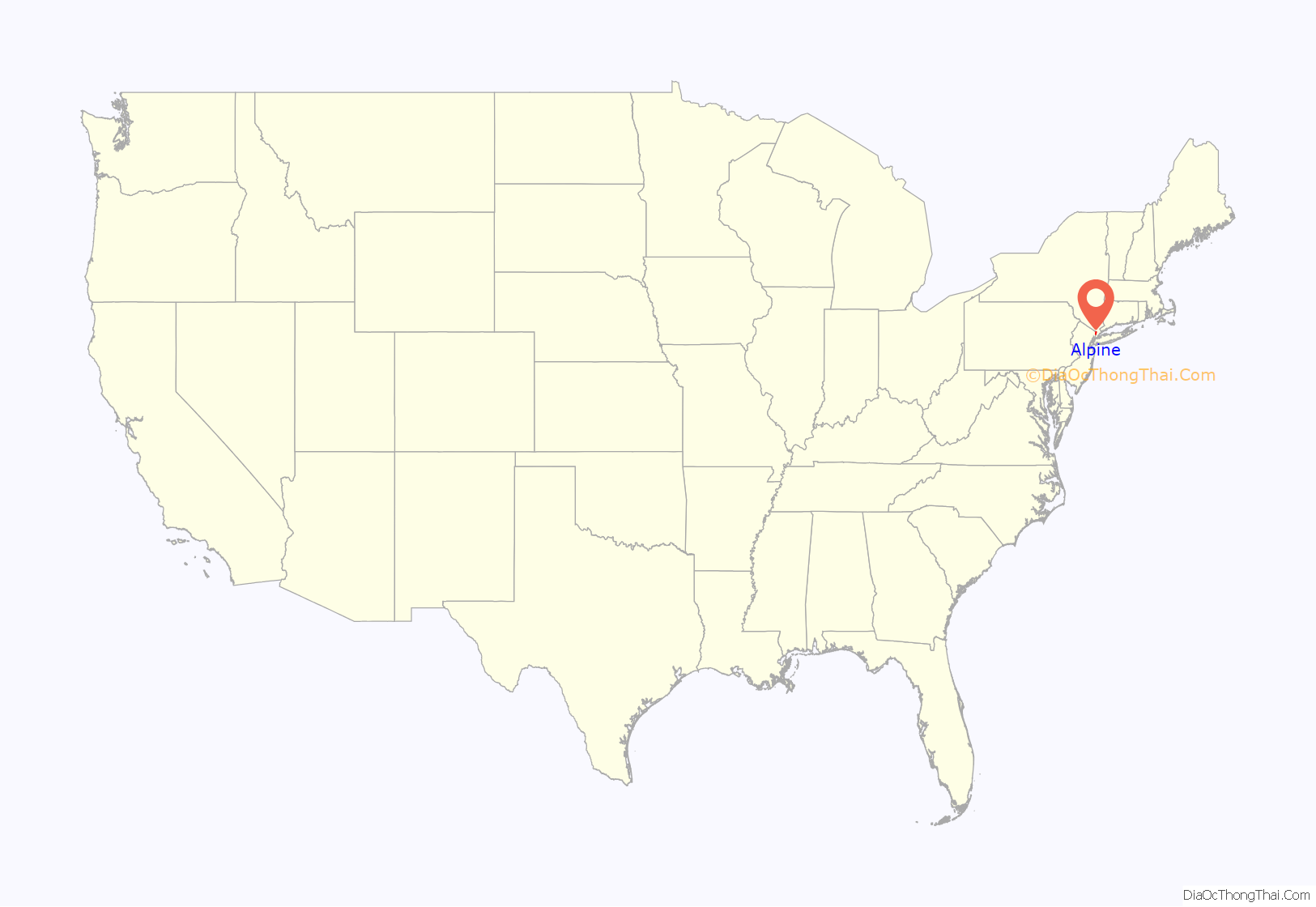
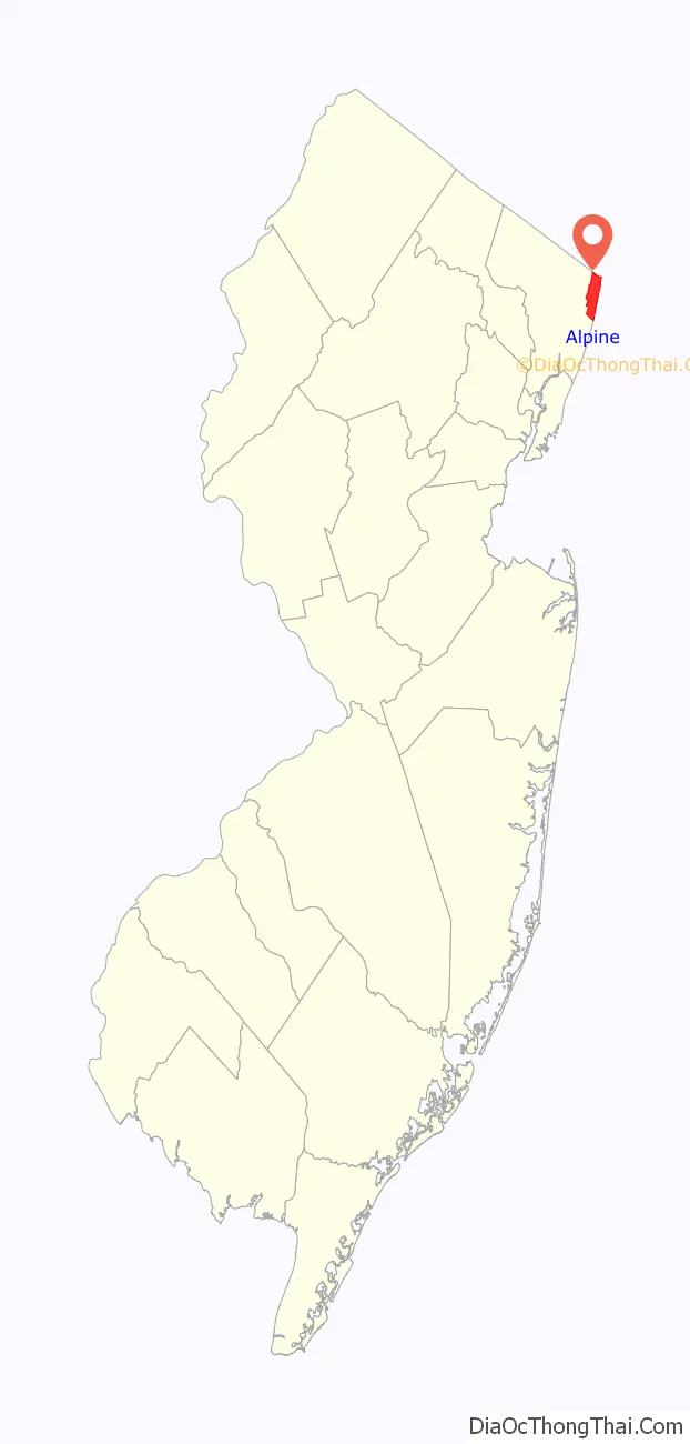
Alpine location map. Where is Alpine borough?
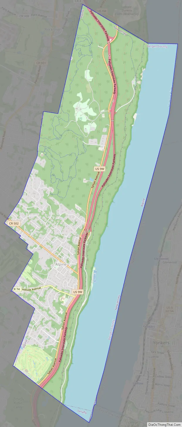
Alpine Road Map
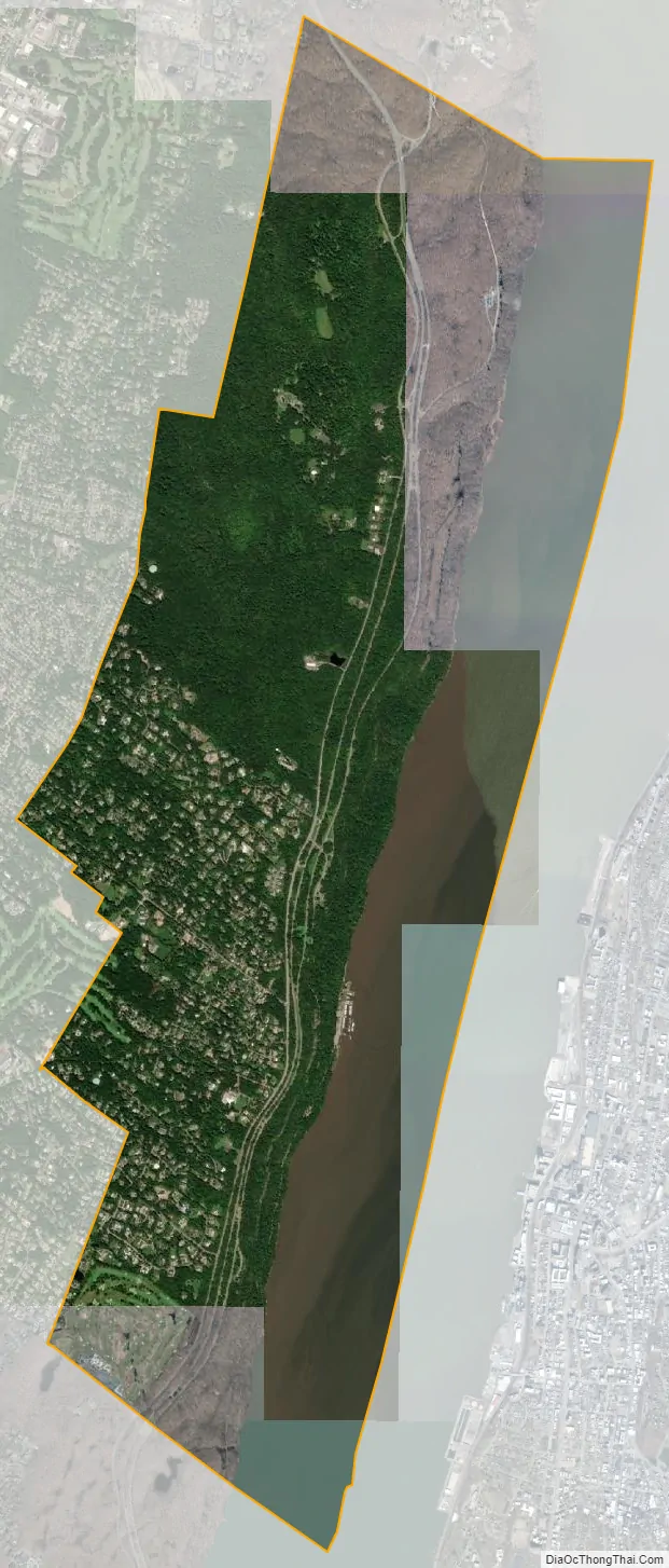
Alpine city Satellite Map
Geography
The borough has a total area of 9.22 square miles (23.89 km), including 6.40 square miles (16.58 km) of land and 2.82 square miles (7.31 km) of water (30.61%).
The borough borders Closter, Cresskill, Demarest, Norwood, Rockleigh and Tenafly in Bergen County. Across the Hudson River, the borough borders The Bronx in New York City, and in Westchester County the city of Yonkers and the village of Hastings-on-Hudson (within the town of Greenburgh). North of the New York State border, the borough borders the hamlet of Tappan (in the town of Orangetown) in Rockland County.
See also
Map of New Jersey State and its subdivision: Map of other states:- Alabama
- Alaska
- Arizona
- Arkansas
- California
- Colorado
- Connecticut
- Delaware
- District of Columbia
- Florida
- Georgia
- Hawaii
- Idaho
- Illinois
- Indiana
- Iowa
- Kansas
- Kentucky
- Louisiana
- Maine
- Maryland
- Massachusetts
- Michigan
- Minnesota
- Mississippi
- Missouri
- Montana
- Nebraska
- Nevada
- New Hampshire
- New Jersey
- New Mexico
- New York
- North Carolina
- North Dakota
- Ohio
- Oklahoma
- Oregon
- Pennsylvania
- Rhode Island
- South Carolina
- South Dakota
- Tennessee
- Texas
- Utah
- Vermont
- Virginia
- Washington
- West Virginia
- Wisconsin
- Wyoming


