Kiefer is a town in Creek County, Oklahoma, United States. The population was 1,685 at the 2010 census, an increase of 64.2 percent over the figure of 1,026 recorded in 2000.
| Name: | Kiefer town |
|---|---|
| LSAD Code: | 43 |
| LSAD Description: | town (suffix) |
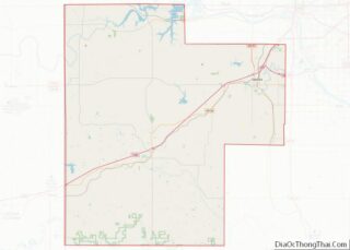
| State: | Oklahoma |
| County: | Creek County |
| Elevation: | 702 ft (214 m) |
| Total Area: | 2.40 sq mi (6.23 km²) |
| Land Area: | 2.38 sq mi (6.16 km²) |
| Water Area: | 0.03 sq mi (0.07 km²) |
| Total Population: | 2,187 |
| Population Density: | 919.29/sq mi (354.96/km²) |
| ZIP code: | 74041 |
| Area code: | 539/918 |
| FIPS code: | 4039750 |
| GNISfeature ID: | 1094370 |
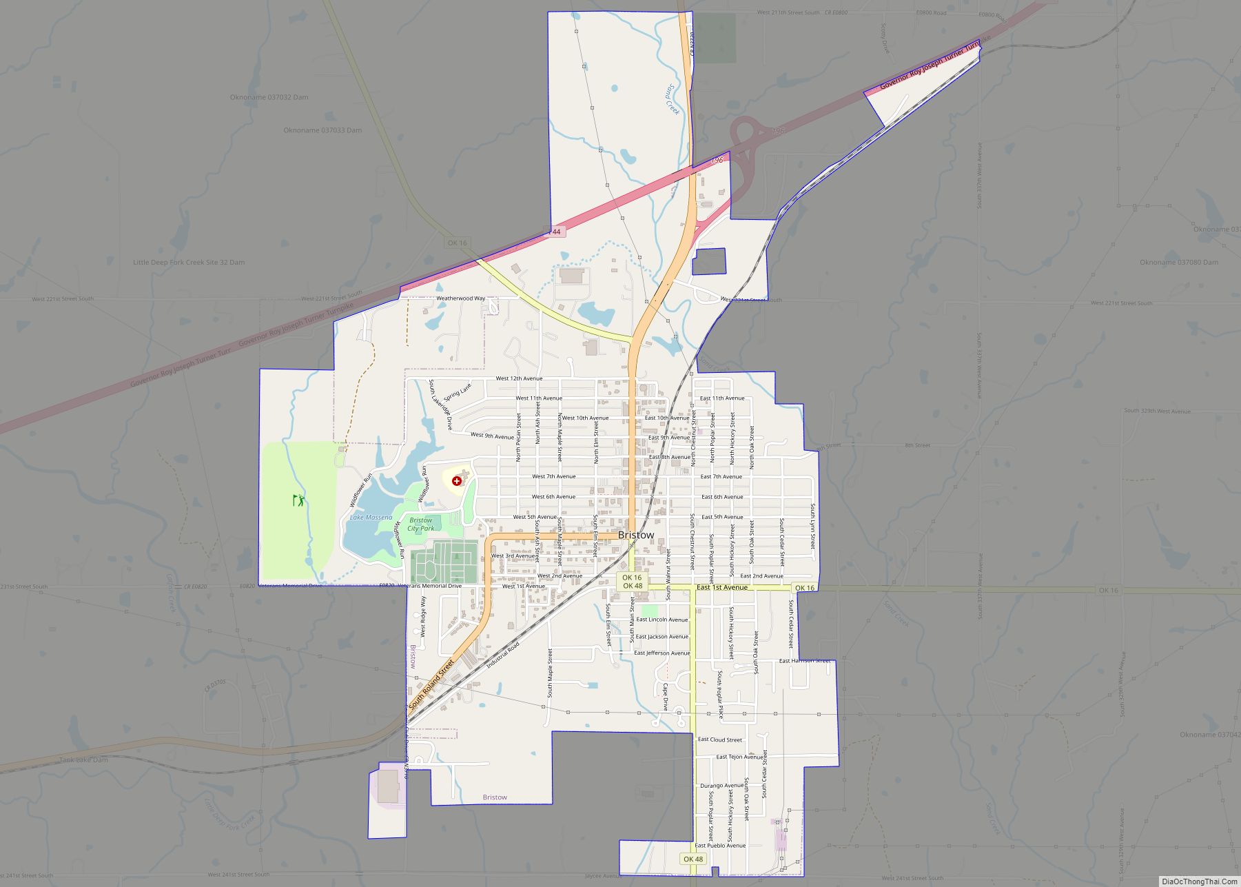
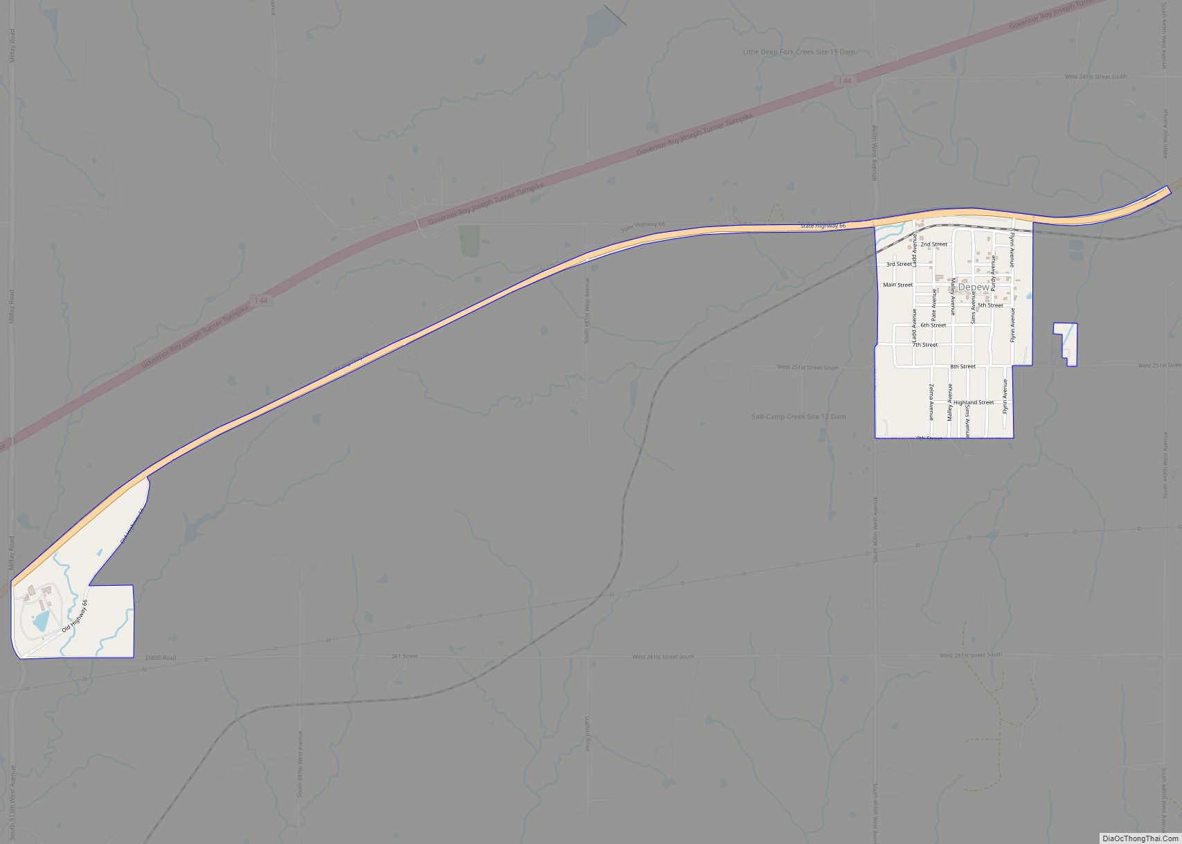
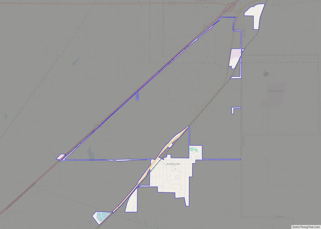
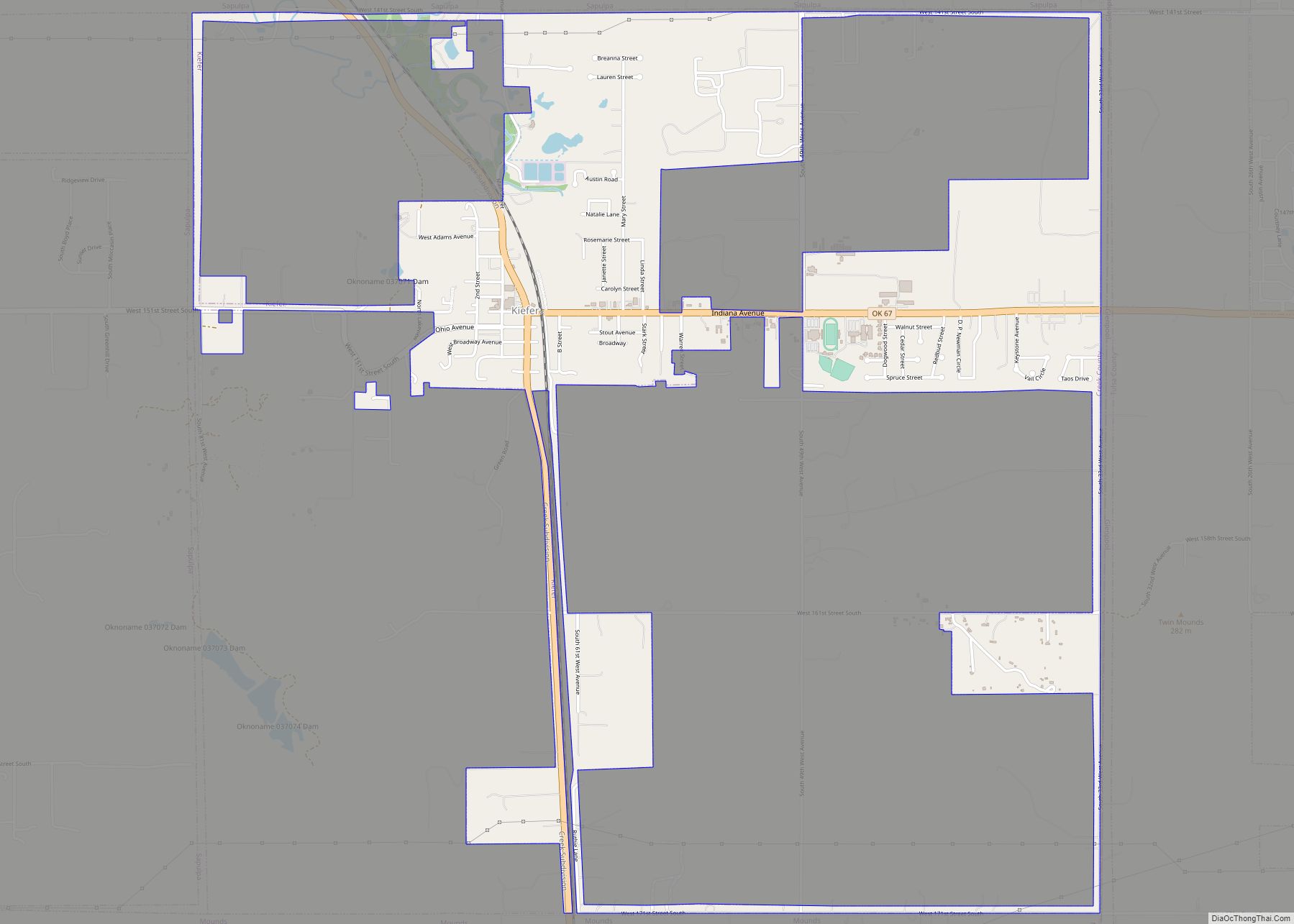
Online Interactive Map
Click on ![]() to view map in "full screen" mode.
to view map in "full screen" mode.
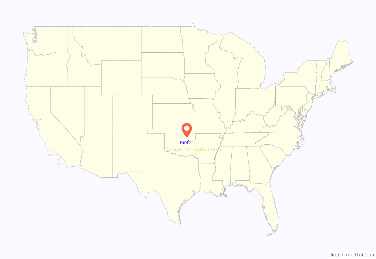
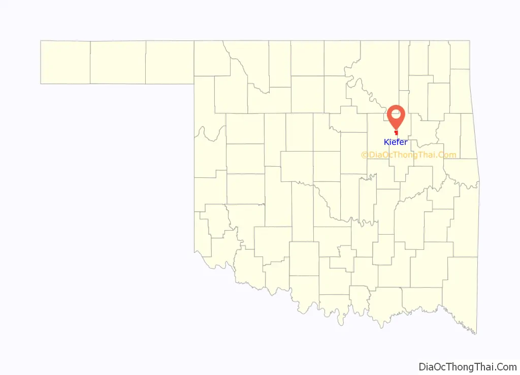
Kiefer location map. Where is Kiefer town?
History
Kiefer was originally known as “Praper” when a post office was first established in 1901. The St. Louis, Oklahoma and Southern Railway (later the St. Louis and San Francisco Railway) constructed a line south from Sapulpa through Praper between 1900 and 1901. The route is today operated by BNSF. Praper became an oil boom town by 1906, when it grew into a major shipping point for crude from the Glenn Pool field. The post office was renamed “Kiefer” on December 12, 1906. According to the Encyclopedia of Oklahoma History and Culture, the name honored at least one of three different people named Kiefer who lived in the area.
Kiefer voted to incorporate on November 20, 1908. The 1910 census reported a population of 1,197 inhabitants. This increased to 1,663 in 1920.
In the early days, Kiefer was on the route of the Sapulpa & Interurban Railway (“S&I”) streetcar/interurban line connecting to Tulsa through Sapulpa; S&I subsequently went through a series of mergers and name changes, with only the Tulsa-to-Sapulpa portion continuing as the Tulsa-Sapulpa Union Railway.
The Kiefer Searchlight was a weekly newspaper published in Kiefer that included local, state, and national news along with advertising. 123 issues from 1908 to 1911 are available online.
In the 21st Century, Kiefer is mostly a commuter town, with 94.6 percent of workers living in town commuting to jobs elsewhere, primarily in Tulsa. However, it is also headquarters for Bridge Crane Specialists, a company involved in the design, manufacturing, installation, and servicing of overhead and work station crane systems.
Kiefer is the site of an extensive residence known to locals as the Kiefer Castle, having been built to resemble a fairy-tale castle.
Kiefer Road Map
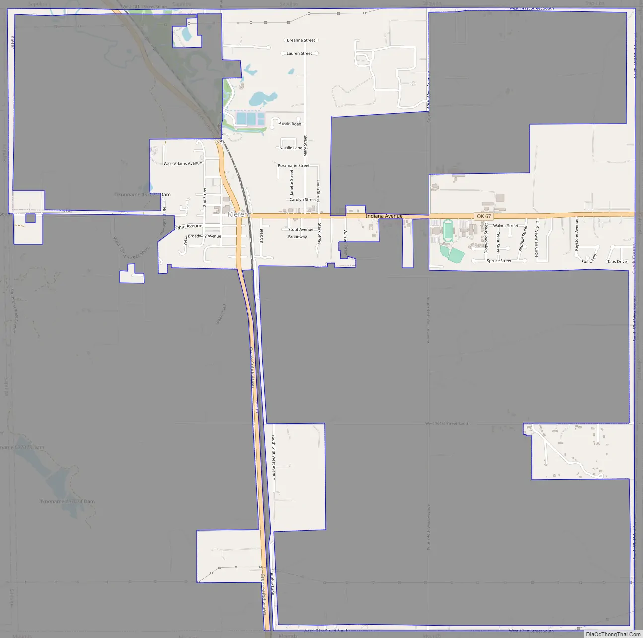
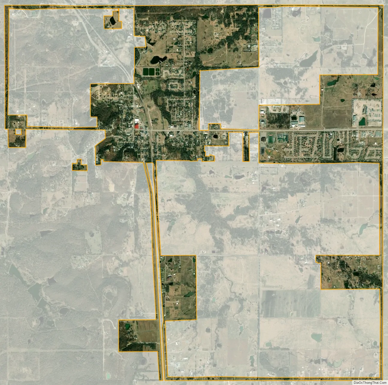
Kiefer city Satellite Map
Geography
Kiefer is located in eastern Creek County at 35°56′38″N 96°3′34″W / 35.94389°N 96.05944°W / 35.94389; -96.05944 (35.943993, -96.059565). U.S. Highway 75A passes through the center of the town, leading north 5 miles (8 km) to the center of Sapulpa, the county seat, and south 5 miles (8 km) to Mounds. Oklahoma State Highway 67 leads east from Kiefer 3 miles (5 km) to the U.S. Route 75 freeway in Glenpool. Via Highways 67 and 75 it is 18 miles (29 km) north to downtown Tulsa.
According to the United States Census Bureau, Kiefer has a total area of 2.4 square miles (6.1 km), of which 0.02 square miles (0.06 km), or 1.04%, is water.
See also
Map of Oklahoma State and its subdivision:- Adair
- Alfalfa
- Atoka
- Beaver
- Beckham
- Blaine
- Bryan
- Caddo
- Canadian
- Carter
- Cherokee
- Choctaw
- Cimarron
- Cleveland
- Coal
- Comanche
- Cotton
- Craig
- Creek
- Custer
- Delaware
- Dewey
- Ellis
- Garfield
- Garvin
- Grady
- Grant
- Greer
- Harmon
- Harper
- Haskell
- Hughes
- Jackson
- Jefferson
- Johnston
- Kay
- Kingfisher
- Kiowa
- Latimer
- Le Flore
- Lincoln
- Logan
- Love
- Major
- Marshall
- Mayes
- McClain
- McCurtain
- McIntosh
- Murray
- Muskogee
- Noble
- Nowata
- Okfuskee
- Oklahoma
- Okmulgee
- Osage
- Ottawa
- Pawnee
- Payne
- Pittsburg
- Pontotoc
- Pottawatomie
- Pushmataha
- Roger Mills
- Rogers
- Seminole
- Sequoyah
- Stephens
- Texas
- Tillman
- Tulsa
- Wagoner
- Washington
- Washita
- Woods
- Woodward
- Alabama
- Alaska
- Arizona
- Arkansas
- California
- Colorado
- Connecticut
- Delaware
- District of Columbia
- Florida
- Georgia
- Hawaii
- Idaho
- Illinois
- Indiana
- Iowa
- Kansas
- Kentucky
- Louisiana
- Maine
- Maryland
- Massachusetts
- Michigan
- Minnesota
- Mississippi
- Missouri
- Montana
- Nebraska
- Nevada
- New Hampshire
- New Jersey
- New Mexico
- New York
- North Carolina
- North Dakota
- Ohio
- Oklahoma
- Oregon
- Pennsylvania
- Rhode Island
- South Carolina
- South Dakota
- Tennessee
- Texas
- Utah
- Vermont
- Virginia
- Washington
- West Virginia
- Wisconsin
- Wyoming