Sapulpa is a city in Creek and Tulsa counties in the U.S. state of Oklahoma. The population was 20,544 at the 2010 United States census, compared to 19,166 at the 2000 census. The population as of 2022 is 22,205. As of 2019, the estimated population was 21,278. It is the county seat of Creek County.
| Name: | Sapulpa city |
|---|---|
| LSAD Code: | 25 |
| LSAD Description: | city (suffix) |
| State: | Oklahoma |
| County: | Creek County, Tulsa County |
| Elevation: | 719 ft (219 m) |
| Total Area: | 24.27 sq mi (62.87 km²) |
| Land Area: | 23.50 sq mi (60.86 km²) |
| Water Area: | 0.78 sq mi (2.01 km²) |
| Total Population: | 21,929 |
| Population Density: | 933.19/sq mi (360.31/km²) |
| ZIP code: | 74066-74067 |
| Area code: | 539/918 |
| FIPS code: | 4065400 |
| GNISfeature ID: | 1097835 |
| Website: | www.cityofsapulpa.net |
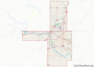
Online Interactive Map
Click on ![]() to view map in "full screen" mode.
to view map in "full screen" mode.
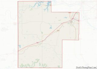
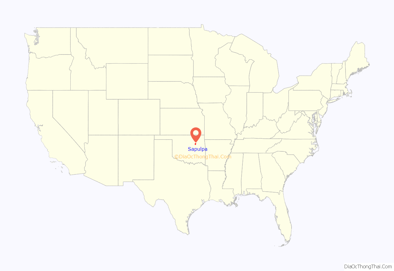
Sapulpa location map. Where is Sapulpa city?

History
Early history
The town was named after the area’s first permanent settler, a full-blood Lower Creek Indian named Sapulpa, from the Kasihta or Cusseta band, from Osocheetown in Alabama. About 1850, he established a trading post near the meeting of Polecat and Rock creeks (about one mile (1.6 km) southeast of downtown Sapulpa).
When the Atlantic and Pacific Railroad (which became the Frisco) built a spur to this area in 1886, it was known as Sapulpa Station. The Sapulpa post office was chartered July 1, 1889 and the town was incorporated March 31, 1898.
Controversy over Creek County seat location
After Oklahoma became a state, each county held an election to determine the location of the county seat. Sapulpa competed with Bristow to be the county seat of Creek County. After five years of contested elections and court suits, the issue was settled by the Oklahoma Supreme Court on August 1, 1913. Sapulpa was ruled the winner. The county courthouse was completed in 1914, replacing an earlier structure built in 1902.
Economic development
When Sapulpa was founded, the main crop of the area was walnuts. In 1898, the Sapulpa Pressed Brick was established, followed in a few years by the Sapulpa Brick Company. This began the clay products industry. Sapulpa is still the home of Frankoma Pottery.
The founding of Premium Glass Company in 1912 marked Sapulpa’s entry to glass manufacturing. Premium Glass was acquired by Liberty Glass Company in 1918. The plant, after many changes to the facilities and in ownership, as of 2019 makes beer bottles under the Ardagh Group.
Other glass factories in the city included the Bartlett-Collins Glass Company, originally opened in 1914, which was closed by subsequent owner Anchor Hocking in 2008. The Schram Glass Company, which opened a jar and jar cap plant in 1914, was closed by the Ball Brothers in 1931. The Sunflower Glass Plant, which produced window glass, began operations in 1913 and, after being leased to Victory Window Glass Co. in 1924, ceased operations in 1932.
According to the Encyclopedia of Oklahoma History, Sapulpa was known as “The Crystal City of the Southwest”.
Rail transportation
In 1889, the Frisco opened the route between Oklahoma City and Tulsa, passing through Sapulpa. The Frisco built a railyard in Sapulpa and by 1900 designated Sapulpa as an overhaul base for its rolling stock. Also in 1900, construction of the line from Sapulpa to Denison, Texas was started and rushed to completion by March 1901. With changes in ownership over the years, the portion of the old Frisco line between Sapulpa and Del City, Oklahoma, near Oklahoma City ended up being owned by the State of Oklahoma.
In 1998, the line was leased to Stillwater Central Railroad, and in 2014 was sold to them. The sale contract required initiating a six-month trial of daily passenger service before August 2019—known as the Eastern Flyer—with a financial penalty of $2.8 million for failure to meet the deadline.
On August 5, 2019, with no passenger service in place, the Stillwater Central defaulted on the contract and paid the penalty.
Sapulpa in its early days was on the route of the Sapulpa & Interurban Railway (“S&I”) streetcar/interurban line connecting to Tulsa in one direction, and Kiefer, Glenpool, and Mounds in the other. S&I subsequently underwent a series of mergers and name changes, with only the Tulsa-to-Sapulpa portion continuing as the Tulsa-Sapulpa Union Railway.
Route 66
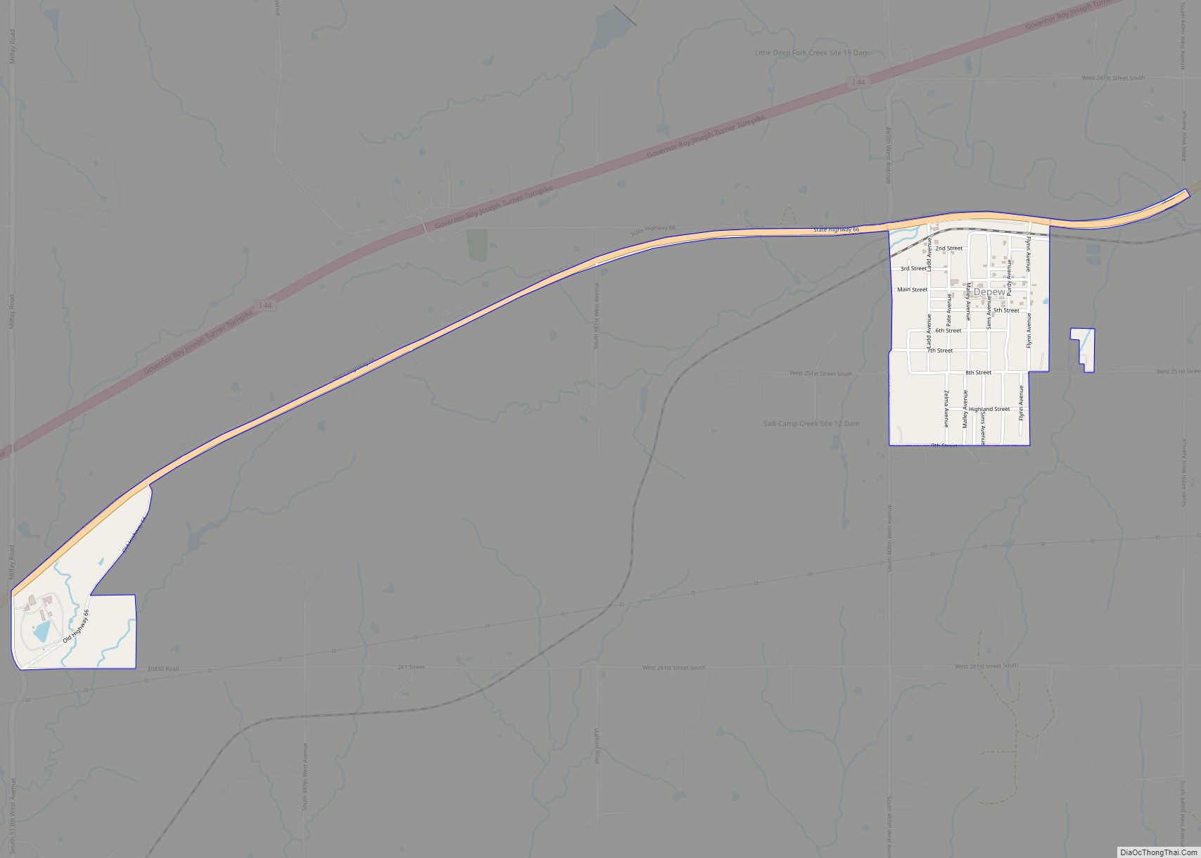
Sapulpa is on old U.S. Route 66, now SH-66 and Historic Route 66 (a/k/a the West Ozark Trail) through town. Route 66 sites include the Heart of Route 66 Auto Museum, which opened in August 2016 in an armory built in 1948. It features the world’s tallest replica antique visible gas pump, at 66 feet, or 74 feet including the circular sign on top. Still standing is the Rock Creek Bridge, a/k/a the historic Bridge #18 at Rock Creek, a 1921 metal bridge that became a link in the original Route 66 in 1926.
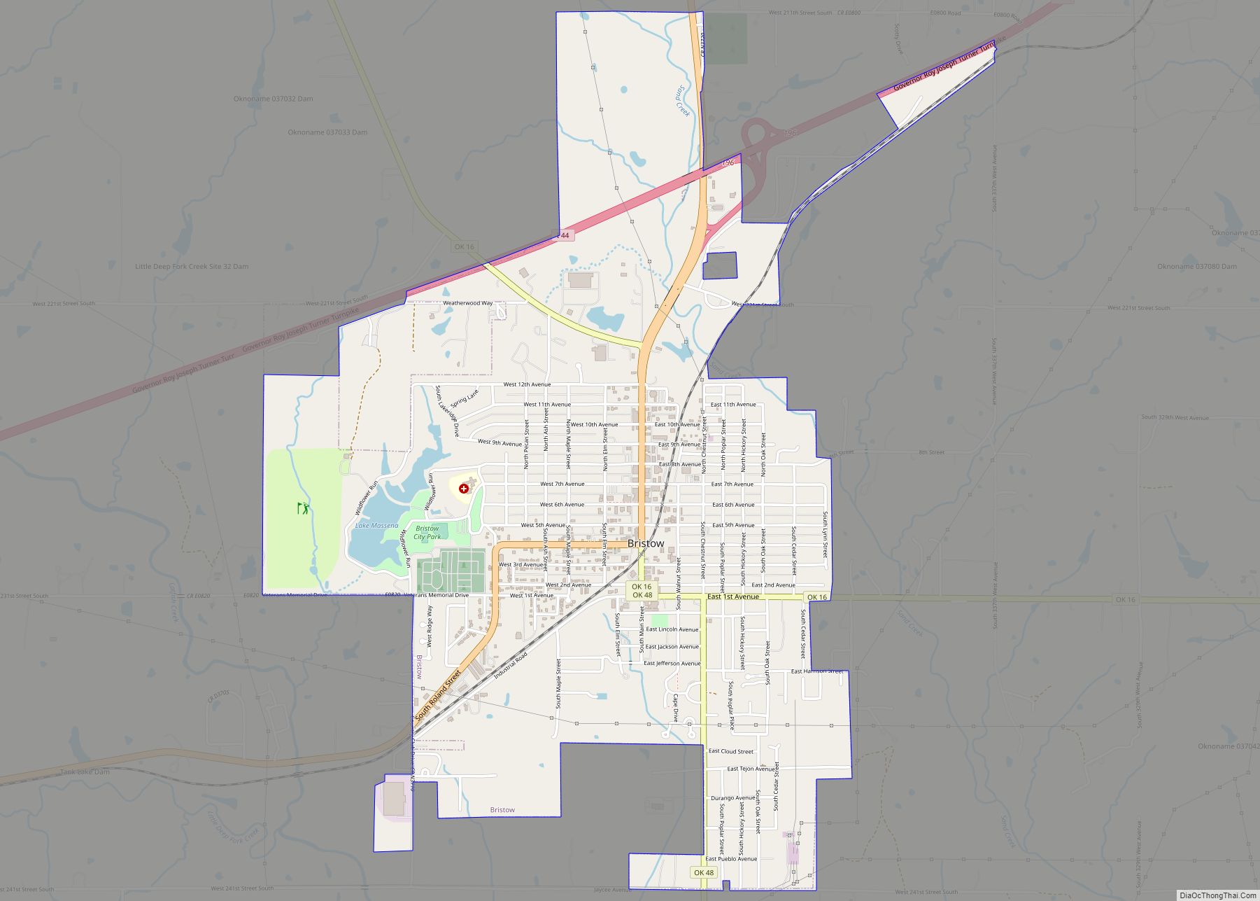
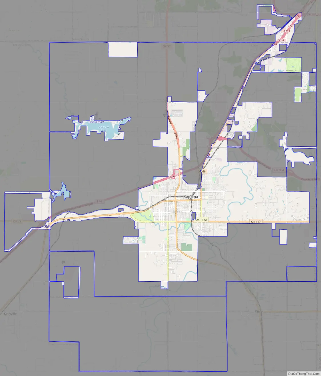
Sapulpa Road Map
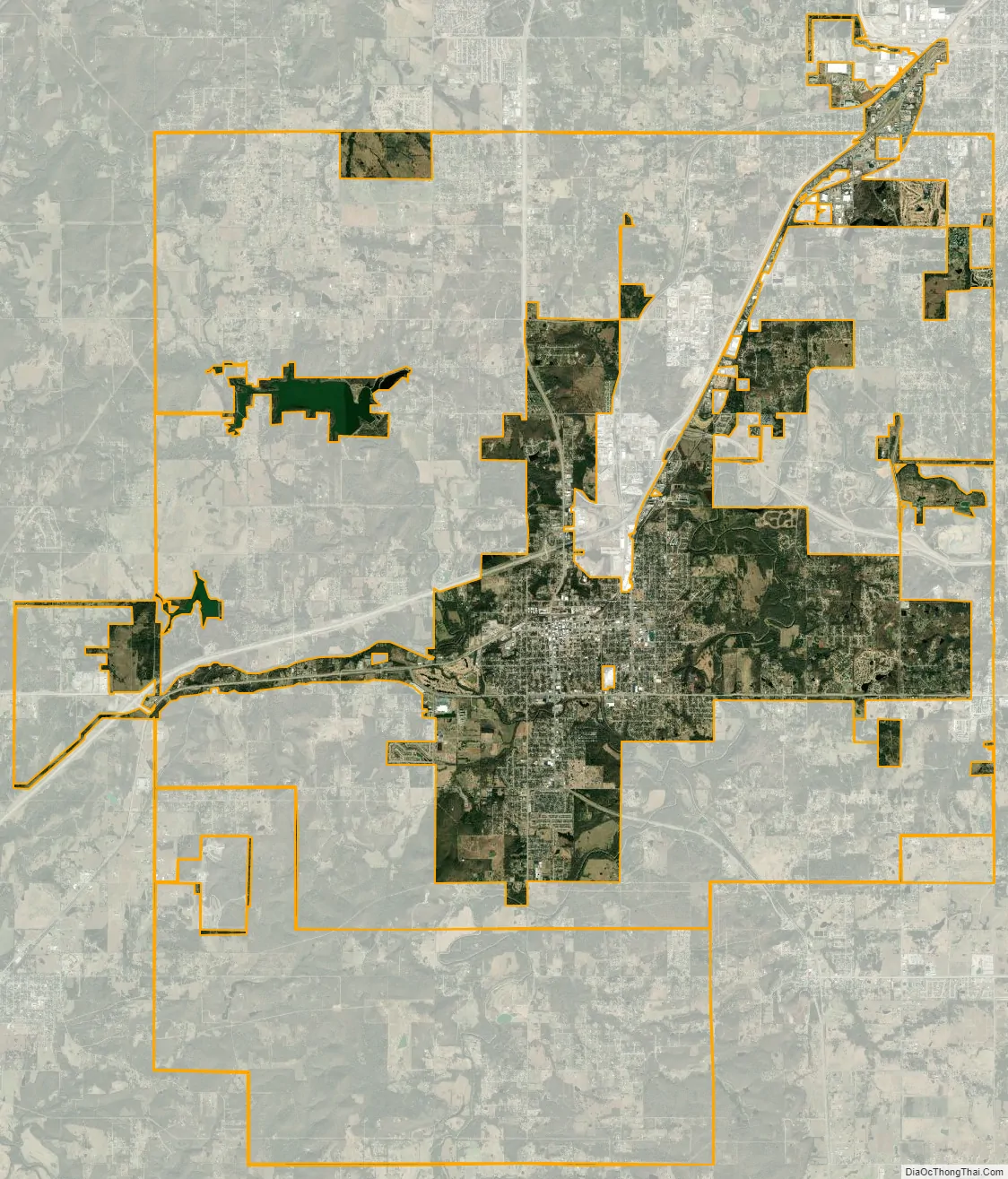
Sapulpa city Satellite Map
Geography
Sapulpa is located in the northeast corner of Creek County at 36°0′13″N 96°6′17″W / 36.00361°N 96.10472°W / 36.00361; -96.10472 (36.003536, -96.104822). A small portion of the city that extends north into Tulsa County was annexed into Sapulpa in 2004. Downtown Tulsa is 14 miles (23 km) to the northeast via Interstate 44. The Creek Turnpike (State Highway 364) branches east from I-44 in northeastern Sapulpa and provides a southern and eastern bypass of Tulsa.
In January 2018, the Sapulpa City Council voted to approve the annexation of approximately 300 acres of land in West Tulsa. The land is bordered to the north by 51st Street, to the south by Southwest Blvd, and to the west by 65th West Avenue. Originally, this annexation included the future site of the interchange of the Gilcrease Expressway and I-44. However, the city has now planned to de-annex this area back to the city of Tulsa.
According to the United States Census Bureau, the city of Sapulpa has a total area of 25.1 square miles (65.1 km), of which 24.3 square miles (63.0 km) is land and 0.81 square miles (2.1 km), or 3.21%, is water.
See also
Map of Oklahoma State and its subdivision:- Adair
- Alfalfa
- Atoka
- Beaver
- Beckham
- Blaine
- Bryan
- Caddo
- Canadian
- Carter
- Cherokee
- Choctaw
- Cimarron
- Cleveland
- Coal
- Comanche
- Cotton
- Craig
- Creek
- Custer
- Delaware
- Dewey
- Ellis
- Garfield
- Garvin
- Grady
- Grant
- Greer
- Harmon
- Harper
- Haskell
- Hughes
- Jackson
- Jefferson
- Johnston
- Kay
- Kingfisher
- Kiowa
- Latimer
- Le Flore
- Lincoln
- Logan
- Love
- Major
- Marshall
- Mayes
- McClain
- McCurtain
- McIntosh
- Murray
- Muskogee
- Noble
- Nowata
- Okfuskee
- Oklahoma
- Okmulgee
- Osage
- Ottawa
- Pawnee
- Payne
- Pittsburg
- Pontotoc
- Pottawatomie
- Pushmataha
- Roger Mills
- Rogers
- Seminole
- Sequoyah
- Stephens
- Texas
- Tillman
- Tulsa
- Wagoner
- Washington
- Washita
- Woods
- Woodward
- Alabama
- Alaska
- Arizona
- Arkansas
- California
- Colorado
- Connecticut
- Delaware
- District of Columbia
- Florida
- Georgia
- Hawaii
- Idaho
- Illinois
- Indiana
- Iowa
- Kansas
- Kentucky
- Louisiana
- Maine
- Maryland
- Massachusetts
- Michigan
- Minnesota
- Mississippi
- Missouri
- Montana
- Nebraska
- Nevada
- New Hampshire
- New Jersey
- New Mexico
- New York
- North Carolina
- North Dakota
- Ohio
- Oklahoma
- Oregon
- Pennsylvania
- Rhode Island
- South Carolina
- South Dakota
- Tennessee
- Texas
- Utah
- Vermont
- Virginia
- Washington
- West Virginia
- Wisconsin
- Wyoming