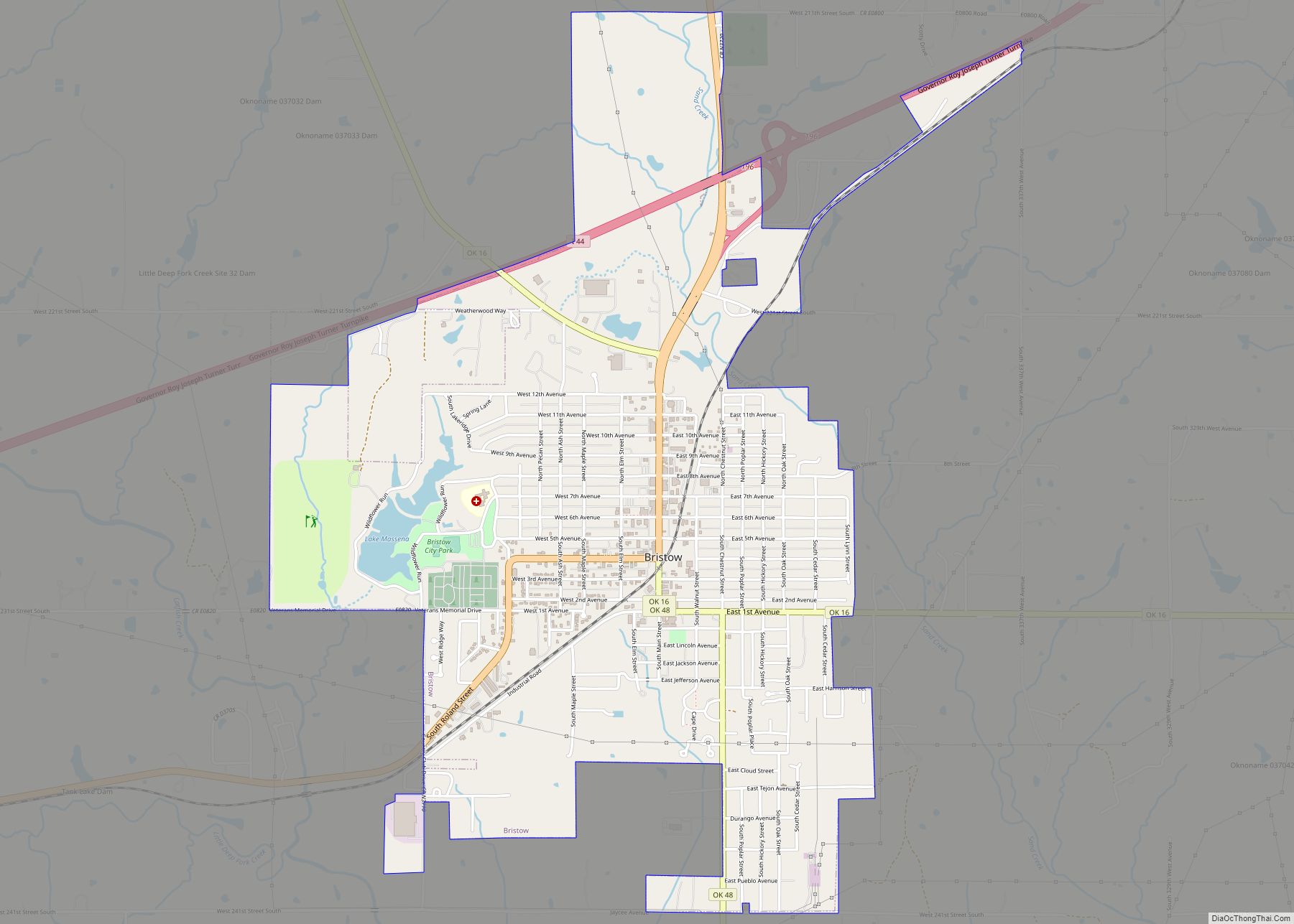
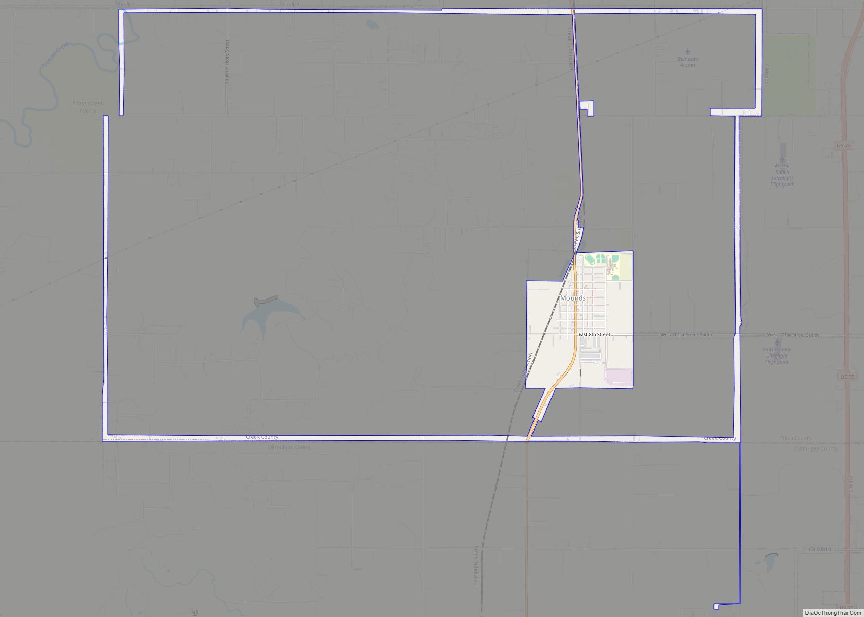
Mounds is a town in Creek County, Oklahoma, United States. It is located just south of Tulsa; the town’s population was 932 at the 2020 census.
| Name: | Mounds town |
|---|---|
| LSAD Code: | 43 |
| LSAD Description: | town (suffix) |
| State: | Oklahoma |
| County: | Creek County |
| Elevation: | 738 ft (225 m) |
| Total Area: | 2.30 sq mi (5.95 km²) |
| Land Area: | 2.25 sq mi (5.82 km²) |
| Water Area: | 0.05 sq mi (0.13 km²) |
| Total Population: | 932 |
| Population Density: | 414.96/sq mi (160.22/km²) |
| ZIP code: | 74047 |
| Area code: | 539/918 |
| FIPS code: | 4049550 |
| GNISfeature ID: | 1095557 |
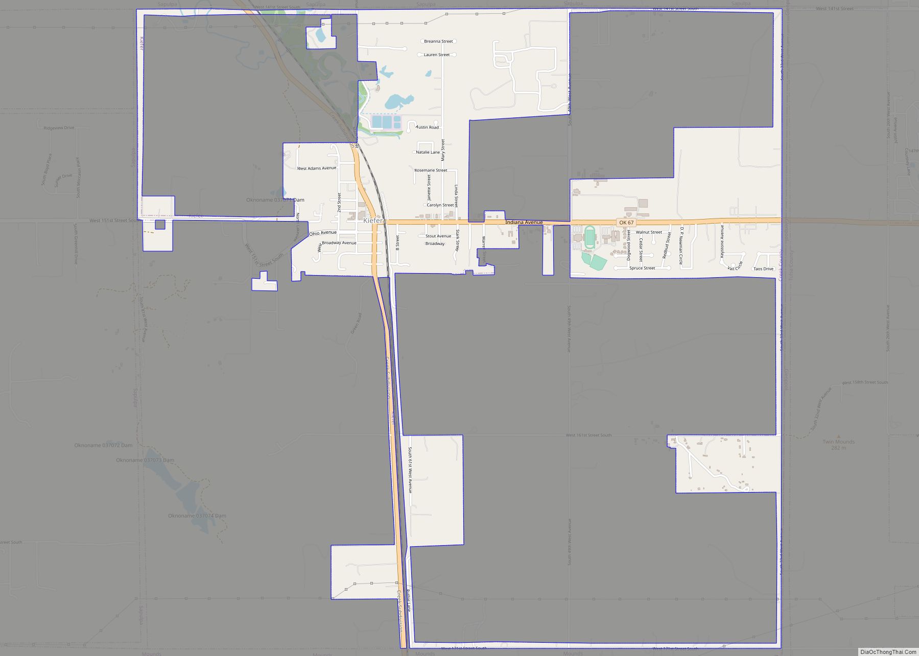
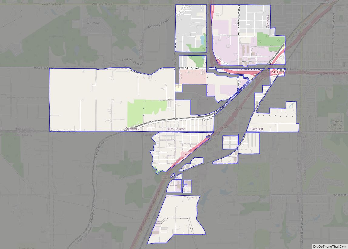
Online Interactive Map
Click on ![]() to view map in "full screen" mode.
to view map in "full screen" mode.
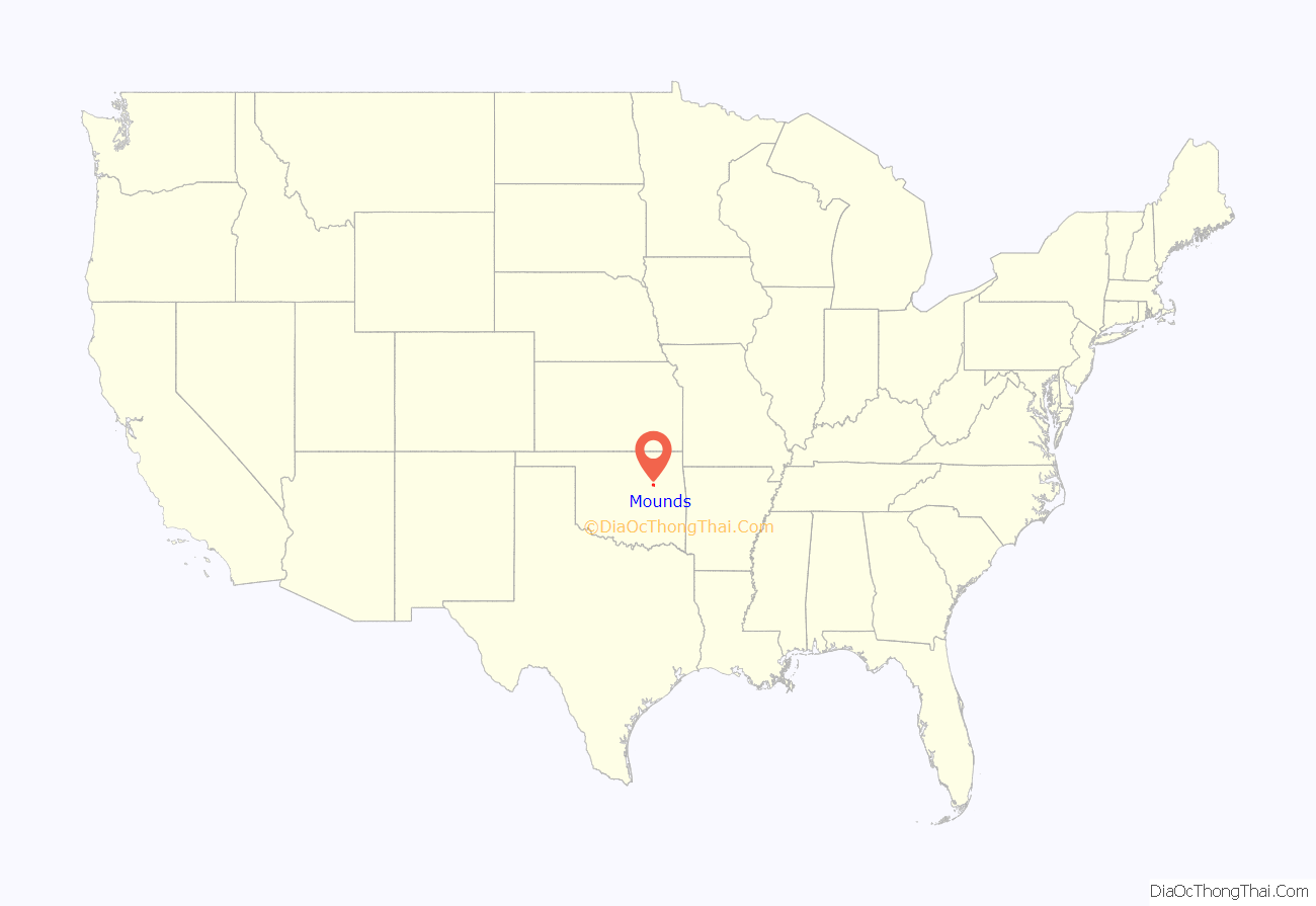
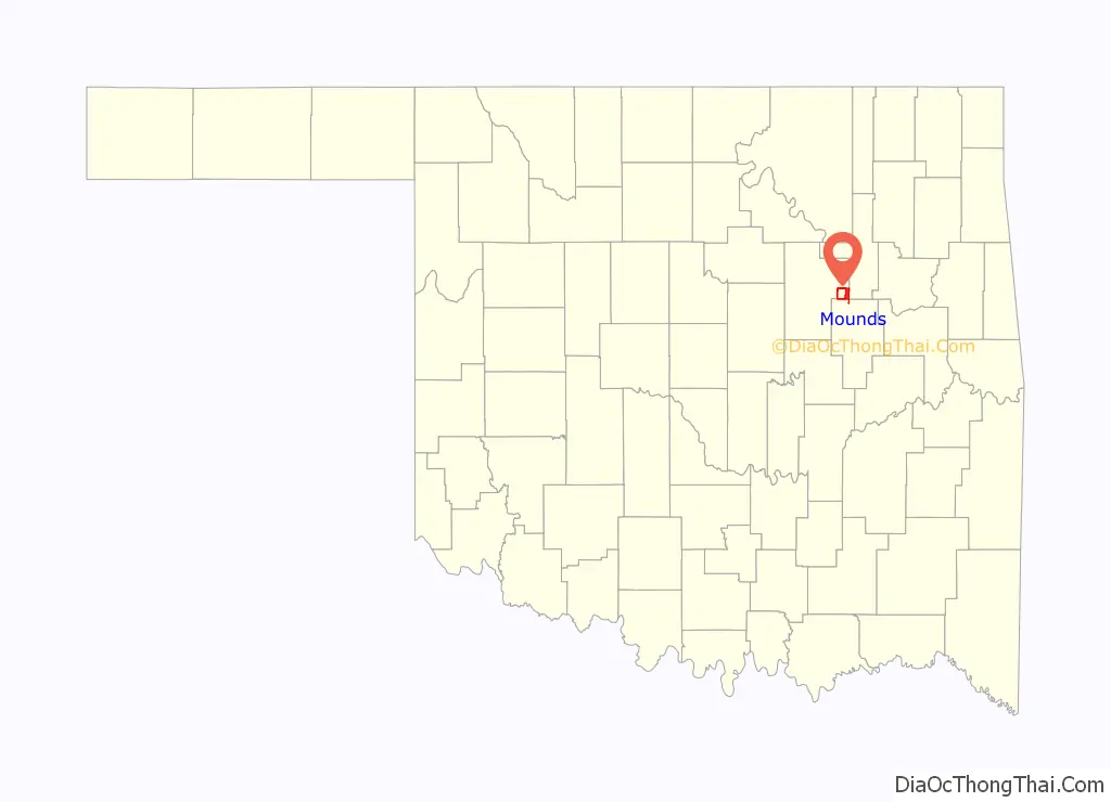
Mounds location map. Where is Mounds town?
History
The post office for this community was established in 1895 and originally named “Posey”, for the Creek poet Alexander Posey, who lived in Eufaula, Oklahoma. In 1898, the town was moved 5 miles (8 km) southwest and renamed “Mounds” for twin hills that were nearby. By 1901, the St. Louis, Oklahoma and Southern Railway (later the St. Louis and San Francisco Railway) built a track through Mounds, and the town became an important cattle shipping point. Mounds incorporated as a city in the same year. The discovery of oil in the Glenn Pool field in 1905 turned Mounds into a shipping point for crude oil instead of cattle.
In the early days, Mounds was on the route of the Sapulpa & Interurban Railway (“S&I”) streetcar/interurban line connecting to Tulsa through Sapulpa, Kiefer and Glenpool; S&I subsequently went through a series of mergers and name changes, with only the Tulsa-to-Sapulpa portion continuing as the Tulsa-Sapulpa Union Railway.
Mounds had a population of 675 at statehood in 1907, rising to 701 in 1910. The oil boom played out in the 1920s, and the population declined from 1,078 in 1920 to 701 in 1930. Railroad activity became primarily shipping grain and cattle. As time went by, the population reached a low of 560 in 1950, since which it has increased. In the 21st century, Mounds is mostly a commuter town, with 92 percent of employed residents commuting to work primarily in Sapulpa and Tulsa.
Mounds Road Map

Mounds city Satellite Map

Geography
Mounds is located in eastern Creek County at 35°52′34″N 96°03′36″W / 35.876076°N 96.059951°W / 35.876076; -96.059951. U.S. Route 75A passes through the center of town, leading north 5 miles (8 km) to Kiefer and south 9 miles (14 km) to Beggs. Sapulpa, the Creek County seat, is 10 miles (16 km) north via U.S. 75A. U.S. Route 75 is 2.5 miles (4.0 km) east of Mounds via West 201st Street; downtown Tulsa is 22 miles (35 km) north of Mounds via U.S. 75.
According to the United States Census Bureau, the town of Mounds has a total area of 2.2 square miles (5.8 km), of which 2.2 square miles (5.7 km) is land and 0.04 square miles (0.1 km), or 2.20%, is water.
See also
Map of Oklahoma State and its subdivision:- Adair
- Alfalfa
- Atoka
- Beaver
- Beckham
- Blaine
- Bryan
- Caddo
- Canadian
- Carter
- Cherokee
- Choctaw
- Cimarron
- Cleveland
- Coal
- Comanche
- Cotton
- Craig
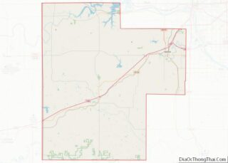
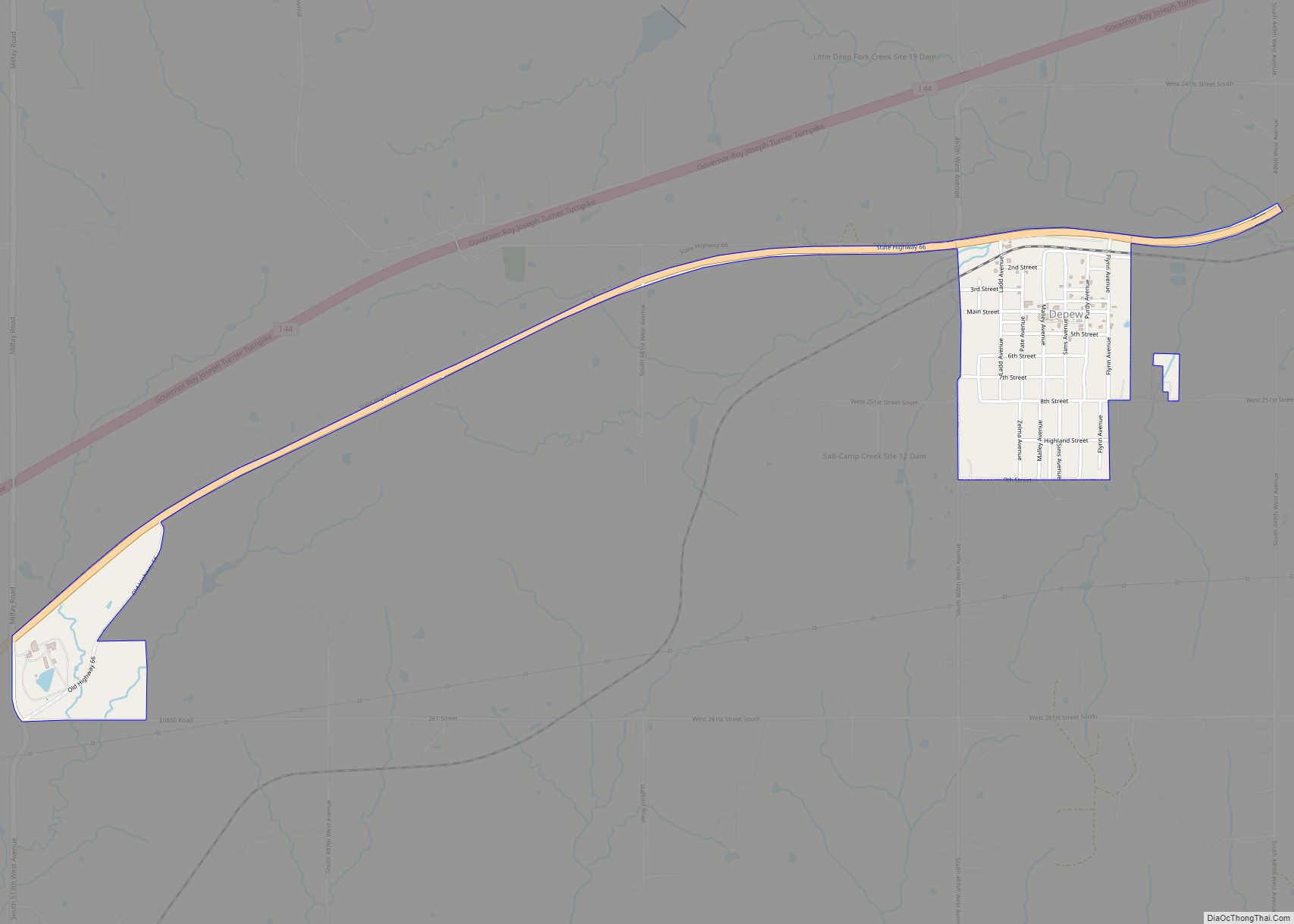
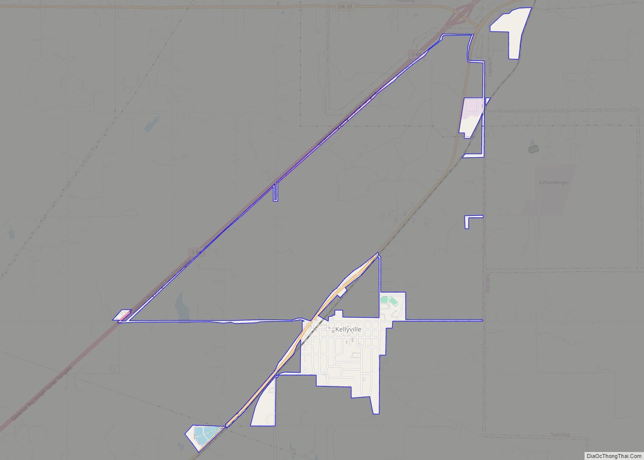
- Creek
- Custer
- Delaware
- Dewey
- Ellis
- Garfield
- Garvin
- Grady
- Grant
- Greer
- Harmon
- Harper
- Haskell
- Hughes
- Jackson
- Jefferson
- Johnston
- Kay
- Kingfisher
- Kiowa
- Latimer
- Le Flore
- Lincoln
- Logan
- Love
- Major
- Marshall
- Mayes
- McClain
- McCurtain
- McIntosh
- Murray
- Muskogee
- Noble
- Nowata
- Okfuskee
- Oklahoma
- Okmulgee
- Osage
- Ottawa
- Pawnee
- Payne
- Pittsburg
- Pontotoc
- Pottawatomie
- Pushmataha
- Roger Mills
- Rogers
- Seminole
- Sequoyah
- Stephens
- Texas
- Tillman
- Tulsa
- Wagoner
- Washington
- Washita
- Woods
- Woodward
- Alabama
- Alaska
- Arizona
- Arkansas
- California
- Colorado
- Connecticut
- Delaware
- District of Columbia
- Florida
- Georgia
- Hawaii
- Idaho
- Illinois
- Indiana
- Iowa
- Kansas
- Kentucky
- Louisiana
- Maine
- Maryland
- Massachusetts
- Michigan
- Minnesota
- Mississippi
- Missouri
- Montana
- Nebraska
- Nevada
- New Hampshire
- New Jersey
- New Mexico
- New York
- North Carolina
- North Dakota
- Ohio
- Oklahoma
- Oregon
- Pennsylvania
- Rhode Island
- South Carolina
- South Dakota
- Tennessee
- Texas
- Utah
- Vermont
- Virginia
- Washington
- West Virginia
- Wisconsin
- Wyoming