Talala is a town in Rogers County, Oklahoma, United States. The population was 273 at the 2010 census.
| Name: | Talala town |
|---|---|
| LSAD Code: | 43 |
| LSAD Description: | town (suffix) |
| State: | Oklahoma |
| County: | Rogers County |
| Elevation: | 682 ft (208 m) |
| Total Area: | 0.45 sq mi (1.16 km²) |
| Land Area: | 0.45 sq mi (1.16 km²) |
| Water Area: | 0.00 sq mi (0.00 km²) |
| Total Population: | 258 |
| Population Density: | 575.89/sq mi (222.33/km²) |
| ZIP code: | 74080 |
| Area code: | 539/918 |
| FIPS code: | 4072200 |
| GNISfeature ID: | 1098728 |
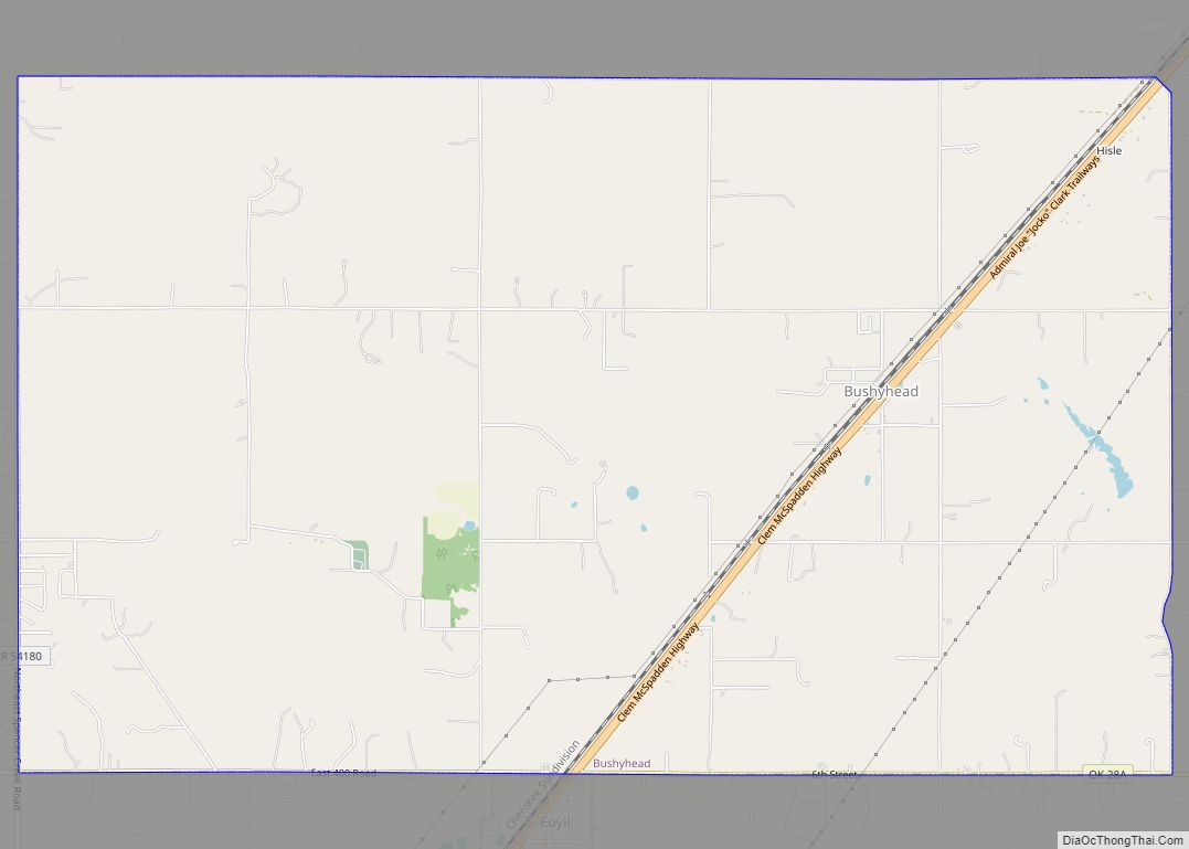
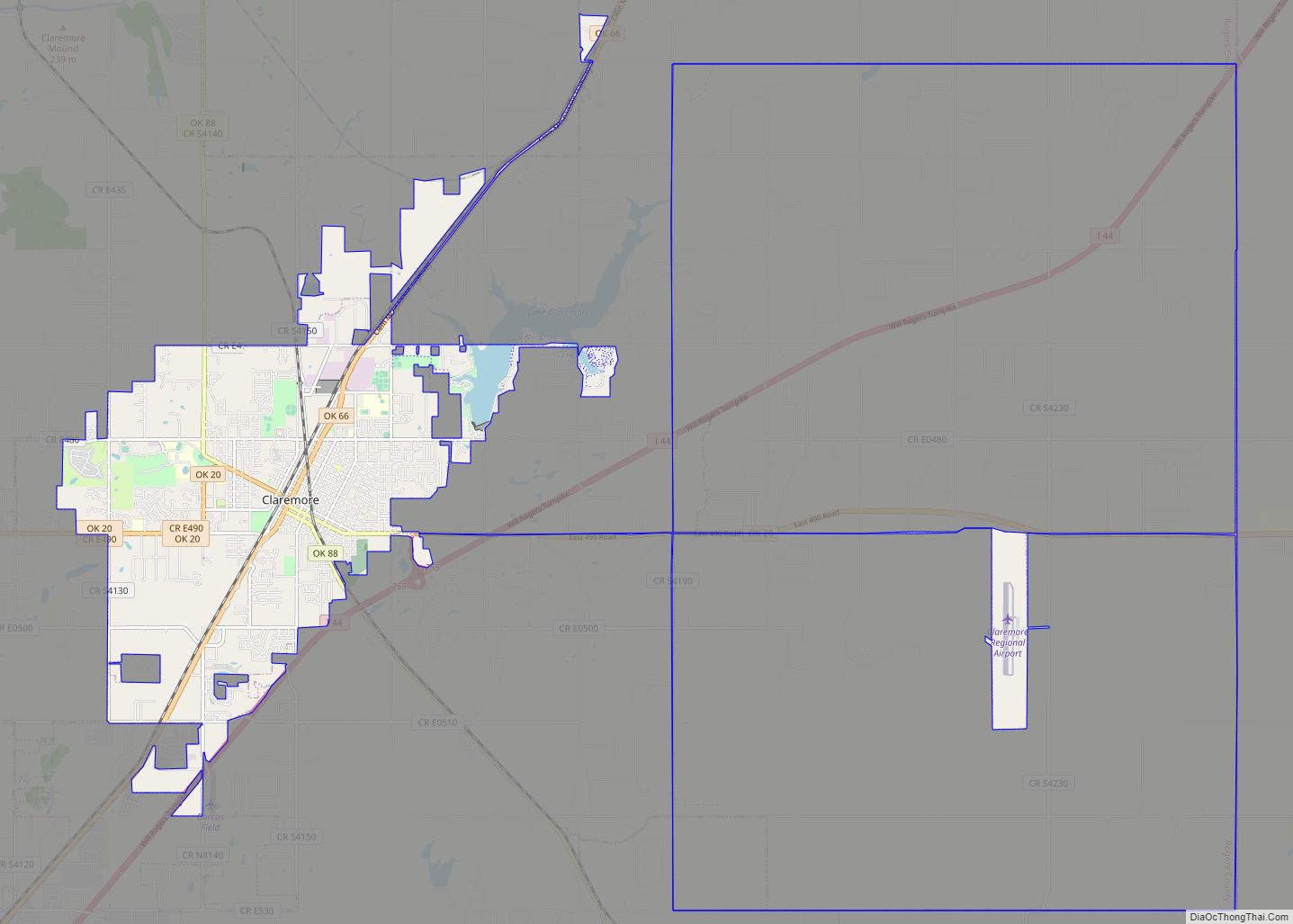
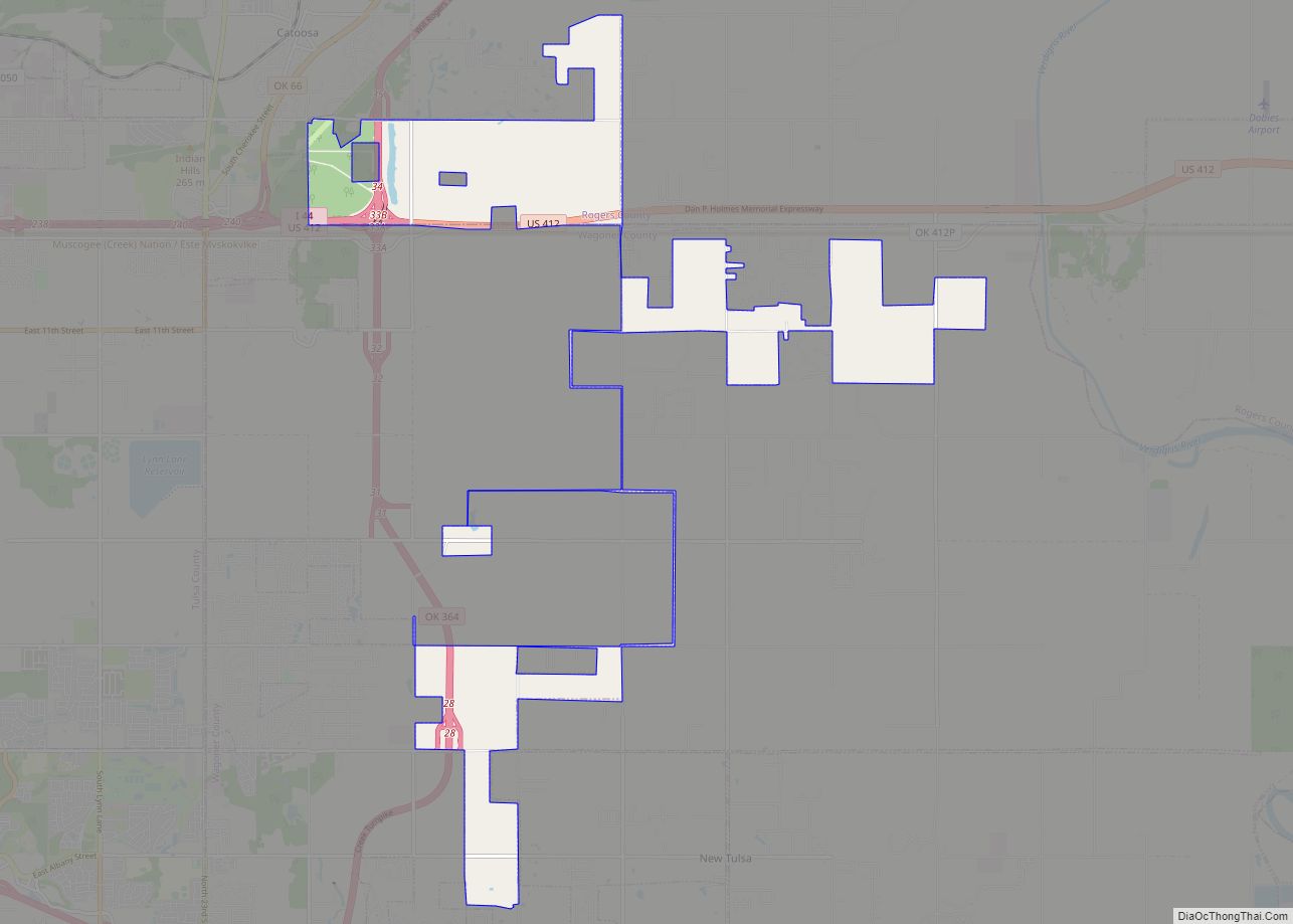
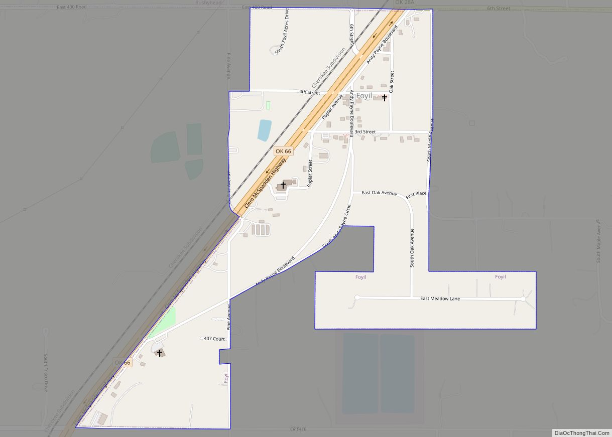
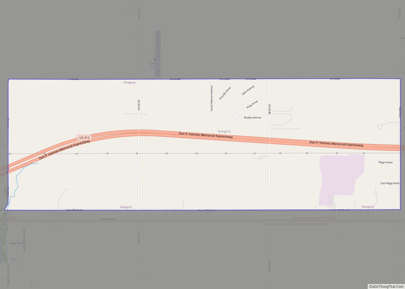
Online Interactive Map
Click on ![]() to view map in "full screen" mode.
to view map in "full screen" mode.
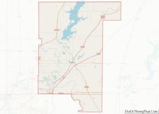
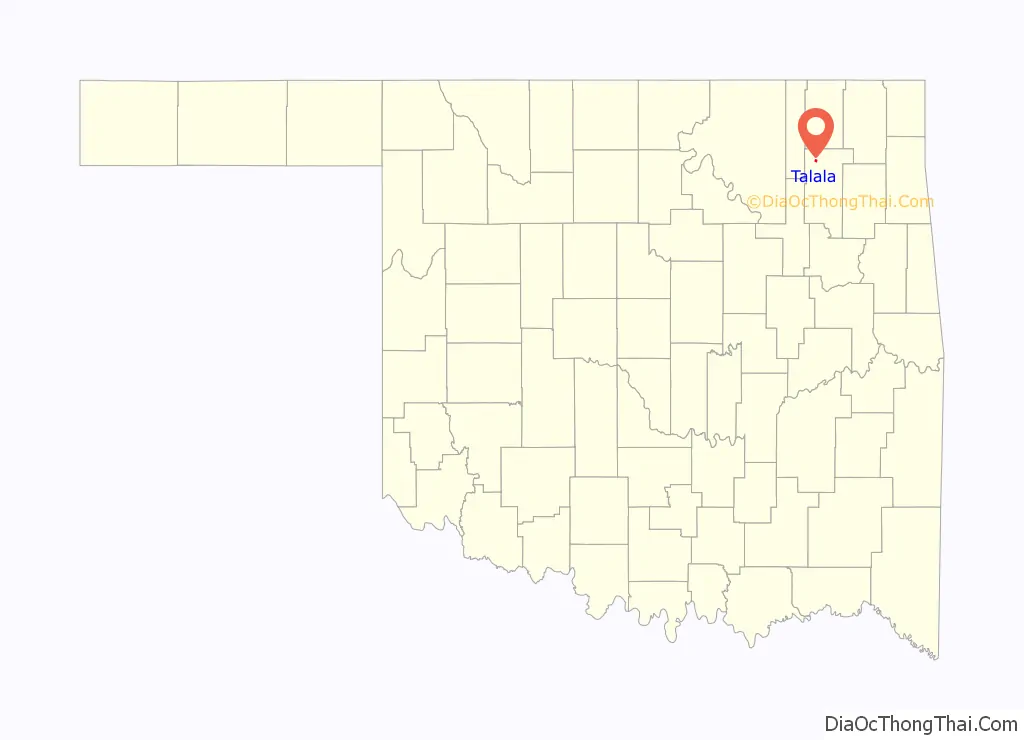
Talala location map. Where is Talala town?

History
The Talala Post Office was established June 23, 1890. Talala was named for Captain John Talala of the 3rd Regiment, Indian Home Guard and a prominent Cherokee. It is mentioned in the Talala History Book that the word ta la la is associated with the tapping of a woodpecker’s bill, which the woodpecker is a red-headed woodpecker that had these numerous birds there and even today. Talala is a Cherokee word for the Red-Headed Woodpecker. An Indian made this discovery and so the town has taken this bird as part of its legacy, erecting signs on the North and South end of the town, and on its stationery at Town Hall and in the Museum.
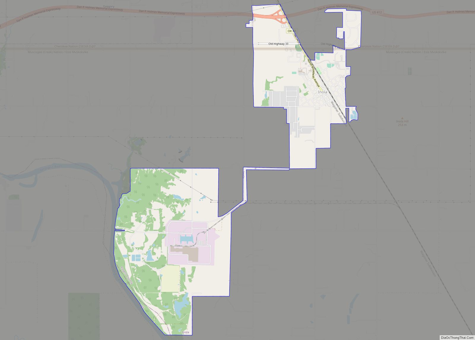
Talala Road Map
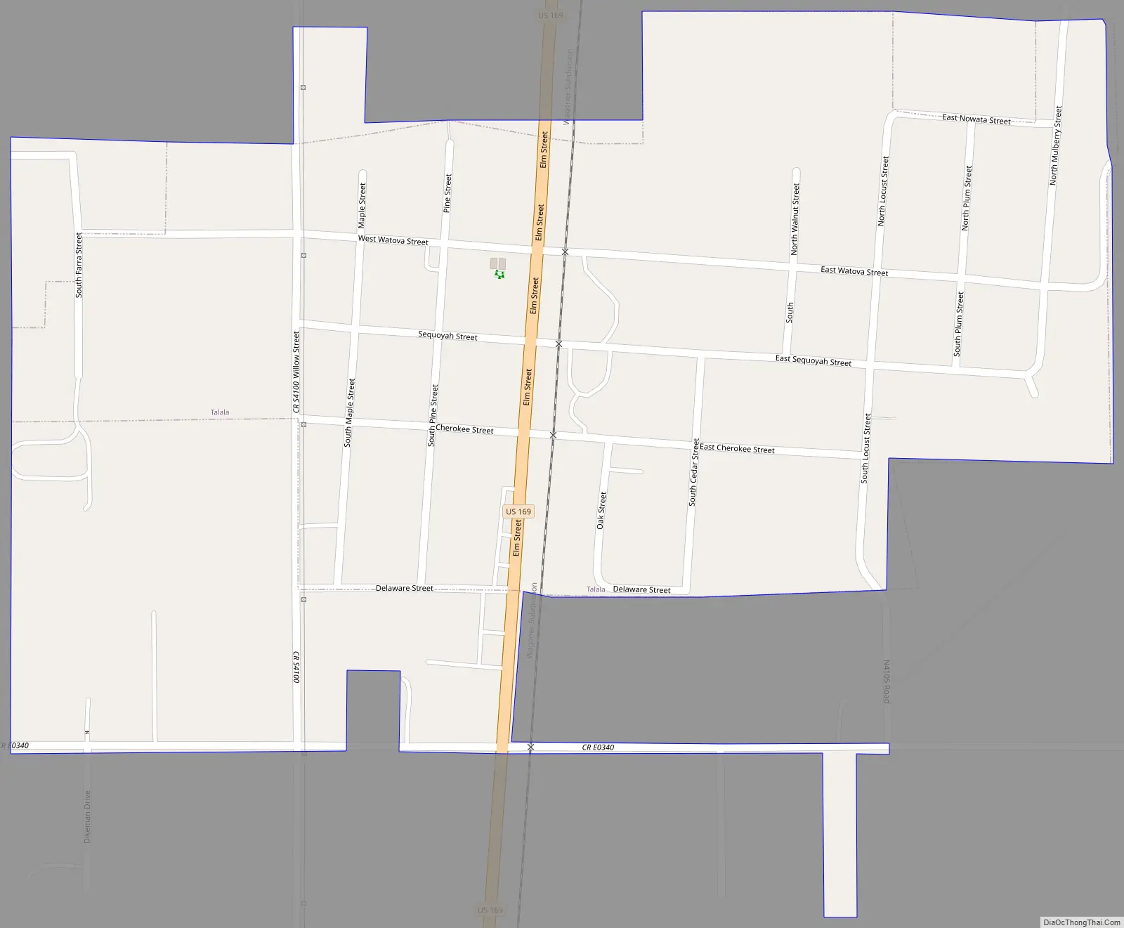
Talala city Satellite Map

Geography
Talala is located at 36°31′45″N 95°41′57″W / 36.52917°N 95.69917°W / 36.52917; -95.69917 (36.529050, −95.699292). It is 19 miles (31 km) northwest of Claremore, the county seat. According to the United States Census Bureau, the town has a total area of 0.3 square miles (0.78 km), all land.
See also
Map of Oklahoma State and its subdivision:- Adair
- Alfalfa
- Atoka
- Beaver
- Beckham
- Blaine
- Bryan
- Caddo
- Canadian
- Carter
- Cherokee
- Choctaw
- Cimarron
- Cleveland
- Coal
- Comanche
- Cotton
- Craig
- Creek
- Custer
- Delaware
- Dewey
- Ellis
- Garfield
- Garvin
- Grady
- Grant
- Greer
- Harmon
- Harper
- Haskell
- Hughes
- Jackson
- Jefferson
- Johnston
- Kay
- Kingfisher
- Kiowa
- Latimer
- Le Flore
- Lincoln
- Logan
- Love
- Major
- Marshall
- Mayes
- McClain
- McCurtain
- McIntosh
- Murray
- Muskogee
- Noble
- Nowata
- Okfuskee
- Oklahoma
- Okmulgee
- Osage
- Ottawa
- Pawnee
- Payne
- Pittsburg
- Pontotoc
- Pottawatomie
- Pushmataha
- Roger Mills
- Rogers
- Seminole
- Sequoyah
- Stephens
- Texas
- Tillman
- Tulsa
- Wagoner
- Washington
- Washita
- Woods
- Woodward
- Alabama
- Alaska
- Arizona
- Arkansas
- California
- Colorado
- Connecticut
- Delaware
- District of Columbia
- Florida
- Georgia
- Hawaii
- Idaho
- Illinois
- Indiana
- Iowa
- Kansas
- Kentucky
- Louisiana
- Maine
- Maryland
- Massachusetts
- Michigan
- Minnesota
- Mississippi
- Missouri
- Montana
- Nebraska
- Nevada
- New Hampshire
- New Jersey
- New Mexico
- New York
- North Carolina
- North Dakota
- Ohio
- Oklahoma
- Oregon
- Pennsylvania
- Rhode Island
- South Carolina
- South Dakota
- Tennessee
- Texas
- Utah
- Vermont
- Virginia
- Washington
- West Virginia
- Wisconsin
- Wyoming