Afton is a town in Lincoln County, Wyoming, United States. The population was 1,911 at the 2010 census.
Afton is home to the world’s largest arch made of elk antlers. Spanning 75 feet (23 m) across the four lanes of U.S. Highway 89, the arch consists of 3,011 elk antlers and weighs 15 tons.
| Name: | Afton town |
|---|---|
| LSAD Code: | 43 |
| LSAD Description: | town (suffix) |
| State: | Wyoming |
| County: | Lincoln County |
| Elevation: | 6,240 ft (1,902 m) |
| Total Area: | 4.45 sq mi (11.51 km²) |
| Land Area: | 4.44 sq mi (11.50 km²) |
| Water Area: | 0.01 sq mi (0.02 km²) |
| Total Population: | 1,911 |
| Population Density: | 459.79/sq mi (177.53/km²) |
| ZIP code: | 83110 |
| Area code: | 307 |
| FIPS code: | 5600245 |
| GNISfeature ID: | 1597691 |
| Website: | www.aftonwyoming.gov |
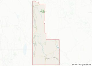
Online Interactive Map
Click on ![]() to view map in "full screen" mode.
to view map in "full screen" mode.
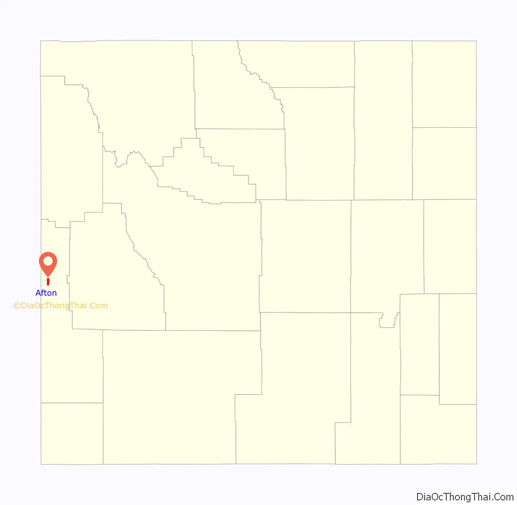
Afton location map. Where is Afton town?
History
The first settlement at Afton was made in 1885. The community takes its name from the River Afton, in Ayrshire, Scotland.
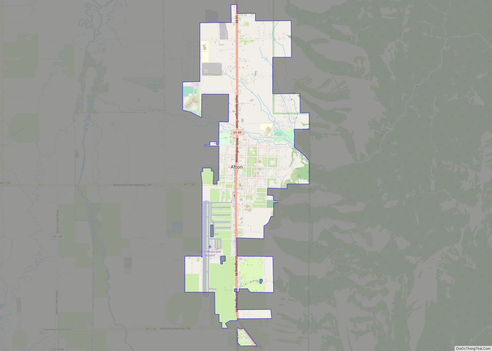
Afton Road Map
Afton city Satellite Map
Geography
Afton is the largest city in Star Valley, a grassland valley in forested mountains.
According to the United States Census Bureau, the town has a total area of 4.18 square miles (10.83 km), all land.
A periodic spring is Afton’s main water supply, which cycles on and off during the summer, fall, and winter at 12 to 18 minute intervals. During the spring the flow never stops due to increased water supply from the melting snowpack. At full flow the Intermittent Spring discharges up to 285 gallons per second. It is located five miles east of Afton, a short hike from the end of Swift Creek Road.
See also
Map of Wyoming State and its subdivision: Map of other states:- Alabama
- Alaska
- Arizona
- Arkansas
- California
- Colorado
- Connecticut
- Delaware
- District of Columbia
- Florida
- Georgia
- Hawaii
- Idaho
- Illinois
- Indiana
- Iowa
- Kansas
- Kentucky
- Louisiana
- Maine
- Maryland
- Massachusetts
- Michigan
- Minnesota
- Mississippi
- Missouri
- Montana
- Nebraska
- Nevada
- New Hampshire
- New Jersey
- New Mexico
- New York
- North Carolina
- North Dakota
- Ohio
- Oklahoma
- Oregon
- Pennsylvania
- Rhode Island
- South Carolina
- South Dakota
- Tennessee
- Texas
- Utah
- Vermont
- Virginia
- Washington
- West Virginia
- Wisconsin
- Wyoming

