Big Horn is an unincorporated community and census-designated place (CDP) in Sheridan County, Wyoming, United States. The population was 198 at the 2000 census and 490 at the 2010 census.
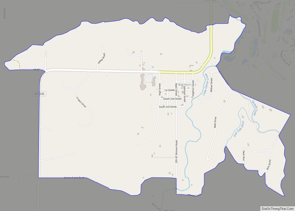
| Name: | Big Horn CDP |
|---|---|
| LSAD Code: | 57 |
| LSAD Description: | CDP (suffix) |
| State: | Wyoming |
| County: | Sheridan County |
| Elevation: | 4,062 ft (1,238 m) |
| Total Area: | 1.8 sq mi (5 km²) |
| Land Area: | 1.8 sq mi (5 km²) |
| Water Area: | 0.0 sq mi (0 km²) |
| Total Population: | 490 |
| Population Density: | 270/sq mi (110/km²) |
| ZIP code: | 82833 |
| Area code: | 307 |
| FIPS code: | 5606770 |
| GNISfeature ID: | 1585474 |
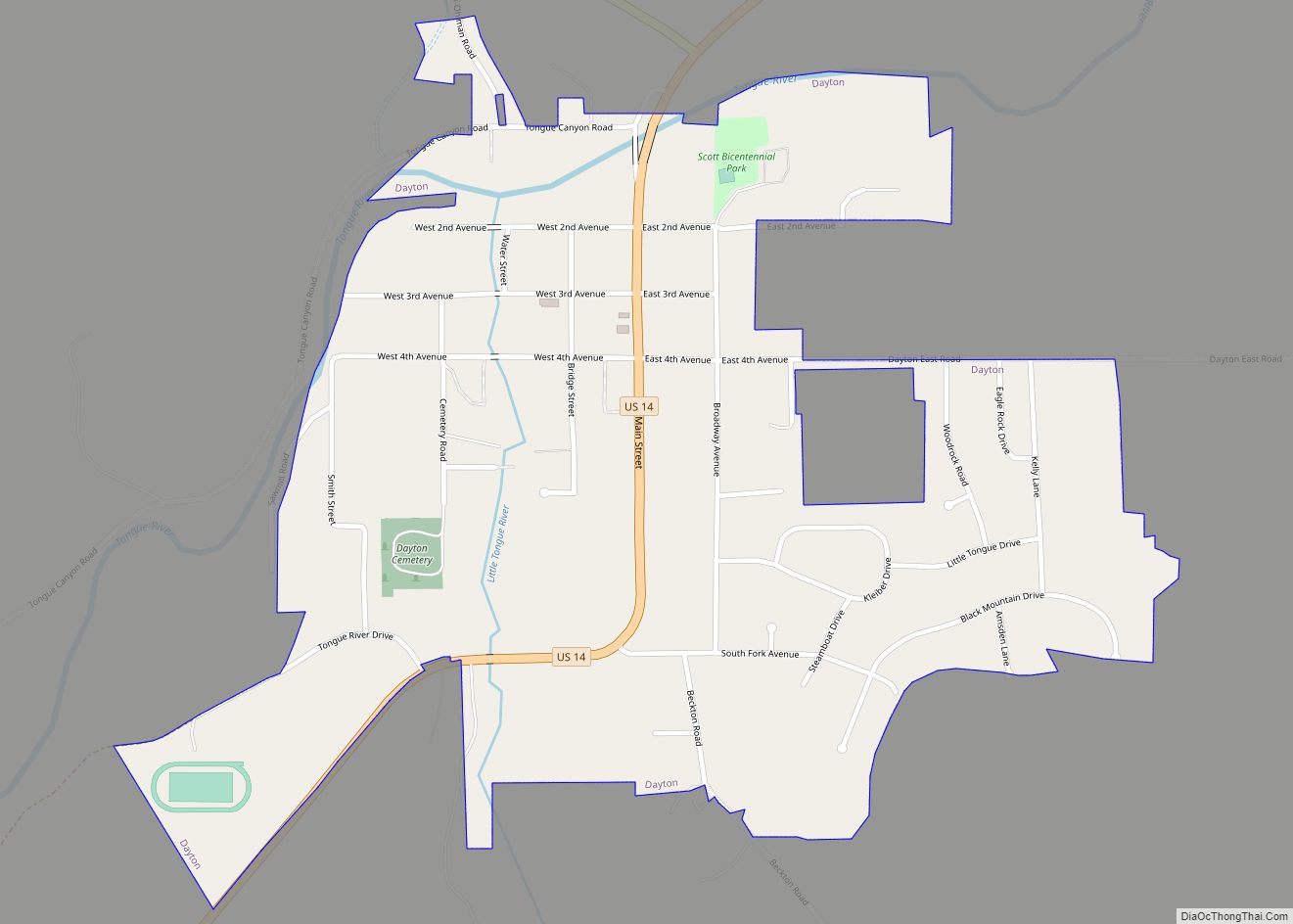
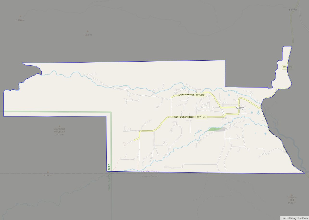
Online Interactive Map
Click on ![]() to view map in "full screen" mode.
to view map in "full screen" mode.
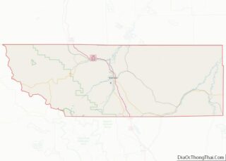
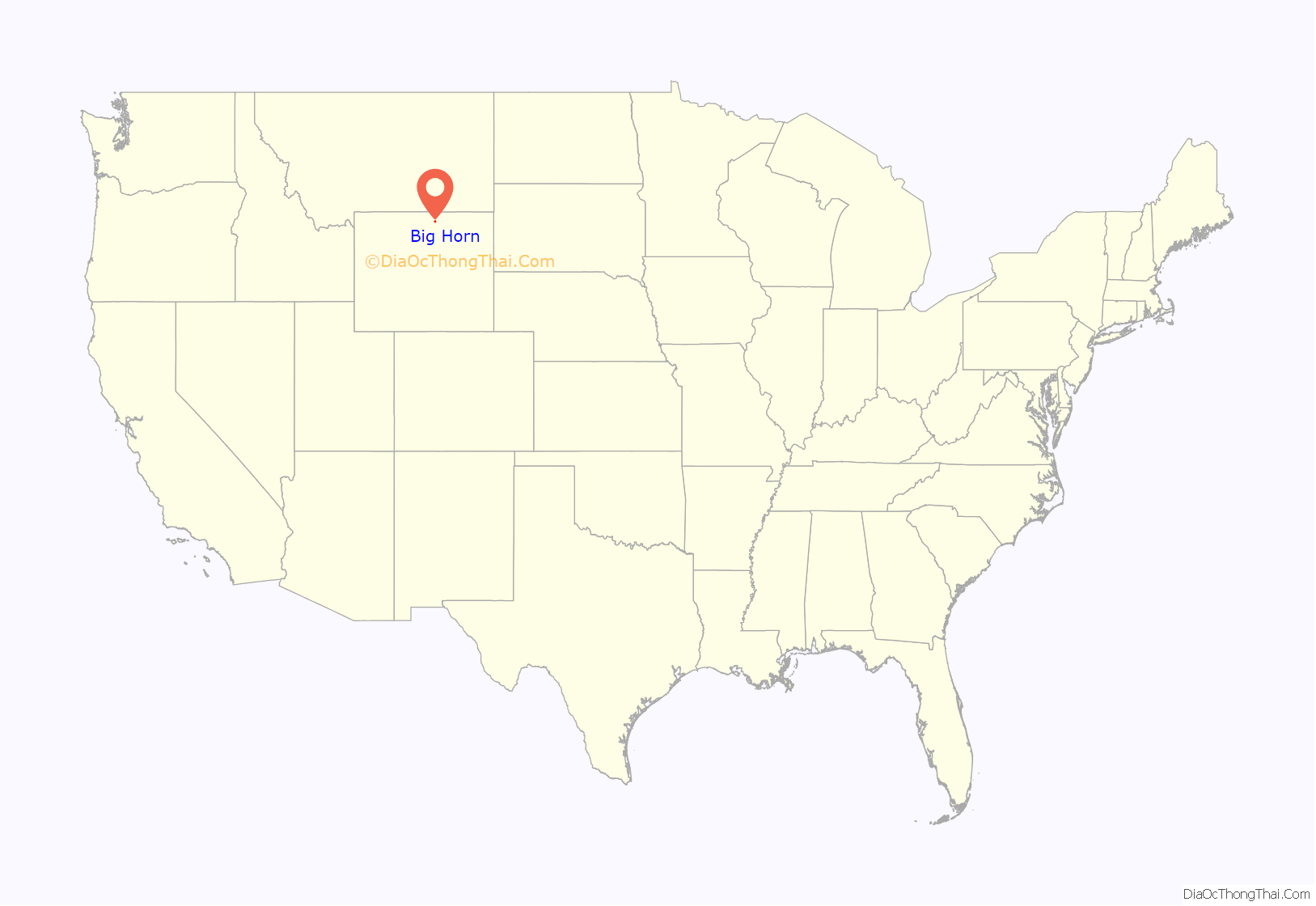
Big Horn location map. Where is Big Horn CDP?
History
Big Horn is along the valley of Little Goose Creek. From 1866 to 1868, the military cutoff route of the Bozeman Trail crossed Little Goose Creek, where Big Horn was later located. The trail was used by travelers going to gold fields in Montana, but was plagued by Lakota attacks under Red Cloud. Fort Phil Kearny was established on Piney Creek, but continued harassment by the Lakota led to its abandonment and the withdrawal of the U.S. Army from the Powder River Country under the Fort Laramie Treaty of 1868.
According to local historian Glenn Sweem, the main route of the Bozeman Trail did not pass through the site where Big Horn was later founded. It lay farther to the east and followed Prairie Dog Creek, eventually leaving that drainage and taking a course now occupied by 5th Street in Sheridan. From there the trail crossed Goose Creek and continued out Soldier Creek to present-day Keystone Road, eventually crossing Tongue River between where Ranchester and Dayton, Wyoming, were later located.
Little Goose Creek was the site of General George Crook’s camp after the Battle of the Rosebud against the Sioux and Cheyenne on June 17, 1876. Crook was fishing in the Bighorn Mountains on Tepee Creek while General George Custer fell to the Lakota and Cheyenne at the Little Bighorn, 70 miles (110 km) to the north.
The first settler in the Big Horn area was Oliver Perry Hanna, an adventurer, prospector, buffalo hunter, and Indian fighter who built a cabin on Hanna Creek in 1878. During the winter of 1878–79, he rode his horse north on the frozen Tongue River to hunt buffalo in the Yellowstone River Country. He participated in the massive hide harvest that wiped out the buffalo on the northern plains. His published recollections told of entire steamships loaded with buffalo hides floating down the Yellowstone River, as well as entire freight trains loaded with buffalo bones. After the buffalo hunting dried up, Hanna made a 400-mile (640 km) round trip to Fort Laramie to buy seed and a plow, becoming the first farmer to carve a furrow in what became Sheridan County. Hanna attracted many of the first settlers to Big Horn City, which was established in 1882. He operated the Oriental Hotel across the street from the Big Horn Mercantile for many years. William Frackelton, “The Sagebrush Dentist”, credited Hanna as the inspiration for the Crow Tribe’s involvement in a July 1902 reenactment of the Little Bighorn Battle in Sheridan.
According to local legend, Frank James and Big Nose George were hiding out along Little Goose Creek in 1878. Supposedly, things got “too hot” for them in the Black Hills, so they headed for the unsettled country near the Big Horn Mountains, where they encountered Hanna. This story has been passed down in the written recollections of early homesteaders, but has not been corroborated by outside historical references or the chronology of the James Gang. The Hilman family employed a mysterious man for a time, who regularly engaged in target practice with his pistol. The family believes this man was Butch Cassidy, based on a note left on his sudden departure from the ranch, which read: “This is the only home I have ever known—Robert Parker.”
Polo was first played in the area at a summer fair in Sheridan in 1893. Among the players in the match were ex-members of the Ninth Lancers division of the English Cavalry, who had brought polo from India.
At one time Big Horn had nearly 1,000 residents, a college, a brick factory, a newspaper, two churches, a hotel, a livery barn, two saloons, and a mercantile. It made a bid to be the seat of Sheridan County, but an 1888 runoff election gave the title to Sheridan. There was an exodus of residents and businesses around 1891 when it was learned that the Chicago, Burlington, and Quincy Railroad was being surveyed through Sheridan. The railroad came to Sheridan in 1893, and since then Big Horn has been a satellite community of Sheridan. Today Big Horn has a mercantile, two bars, several bed-and-breakfasts, a women’s club, the Bozeman Trail Museum, a park, and an art museum several miles up Little Goose Creek at the Moncreiffe/Bradford Brinton Memorial Ranch.
Queen Elizabeth II stayed in Big Horn in October 1984 during a visit with her friends Lord and Lady Carnarvon (née Jeanne Wallop) at Senator and Mrs. Wallop’s Canyon Ranch.
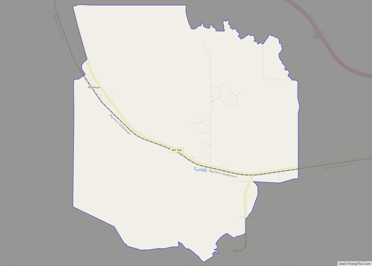
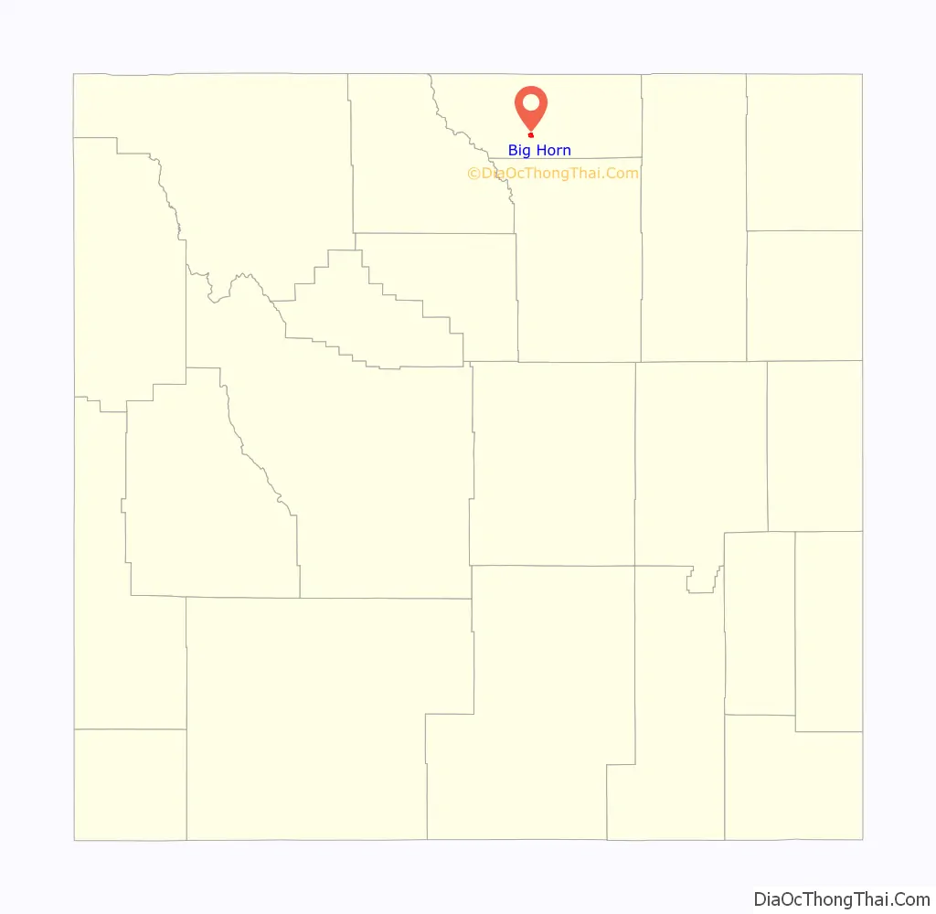
Big Horn Road Map
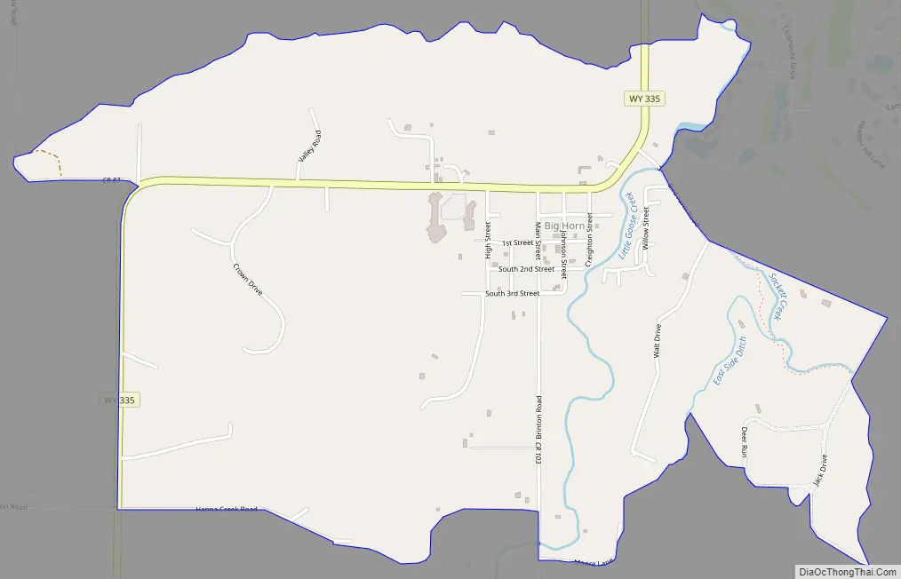
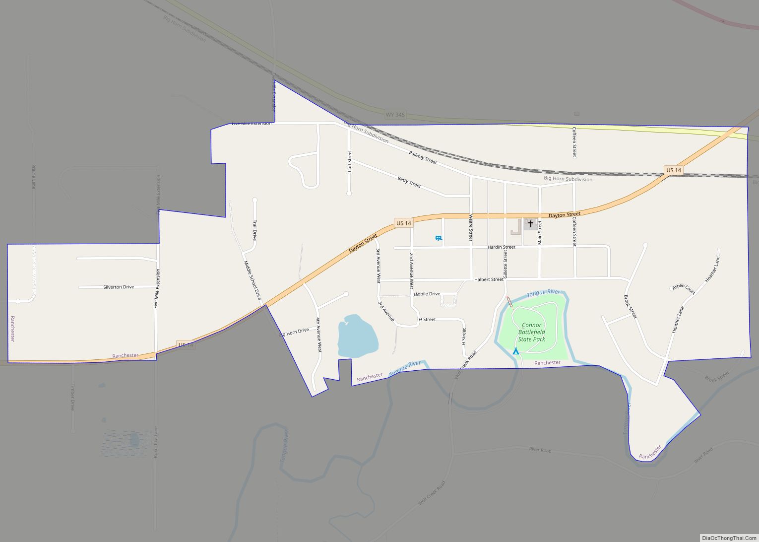
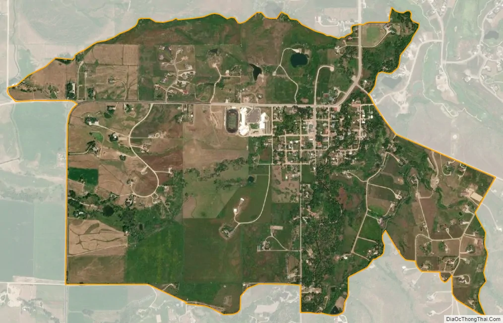
Big Horn city Satellite Map
Geography
Big Horn is on the eastern slope of the Big Horn Mountains, along Little Goose Creek, a tributary of the Tongue River.
According to the United States Census Bureau, the CDP has an area of 1.8 square miles (4.7 km), all land.
Climate
According to the Köppen Climate Classification system, Big Horn has a semi-arid climate, abbreviated “BSk” on climate maps.
See also
Map of Wyoming State and its subdivision: Map of other states:- Alabama
- Alaska
- Arizona
- Arkansas
- California
- Colorado
- Connecticut
- Delaware
- District of Columbia
- Florida
- Georgia
- Hawaii
- Idaho
- Illinois
- Indiana
- Iowa
- Kansas
- Kentucky
- Louisiana
- Maine
- Maryland
- Massachusetts
- Michigan
- Minnesota
- Mississippi
- Missouri
- Montana
- Nebraska
- Nevada
- New Hampshire
- New Jersey
- New Mexico
- New York
- North Carolina
- North Dakota
- Ohio
- Oklahoma
- Oregon
- Pennsylvania
- Rhode Island
- South Carolina
- South Dakota
- Tennessee
- Texas
- Utah
- Vermont
- Virginia
- Washington
- West Virginia
- Wisconsin
- Wyoming