Cody is a city in Northwest Wyoming and the seat of government of Park County, Wyoming, United States. It is named after Buffalo Bill Cody for his part in the founding of Cody in 1896.
The population was 10,066 at the 2020 census. Cody is served by Yellowstone Regional Airport.
| Name: | Cody city |
|---|---|
| LSAD Code: | 25 |
| LSAD Description: | city (suffix) |
| State: | Wyoming |
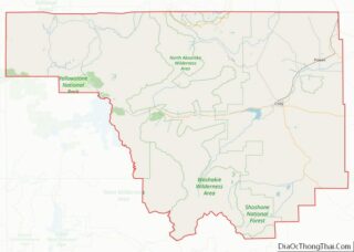
| County: | Park County |
| Elevation: | 5,016 ft (1,523 m) |
| Total Area: | 10.46 sq mi (27.08 km²) |
| Land Area: | 10.22 sq mi (26.47 km²) |
| Water Area: | 0.24 sq mi (0.61 km²) |
| Total Population: | 9,520 |
| Population Density: | 957.73/sq mi (369.79/km²) |
| ZIP code: | 82414 |
| Area code: | 307 |
| FIPS code: | 5615760 |
| GNISfeature ID: | 1586861 |
| Website: | codywy.gov |
Online Interactive Map
Click on ![]() to view map in "full screen" mode.
to view map in "full screen" mode.
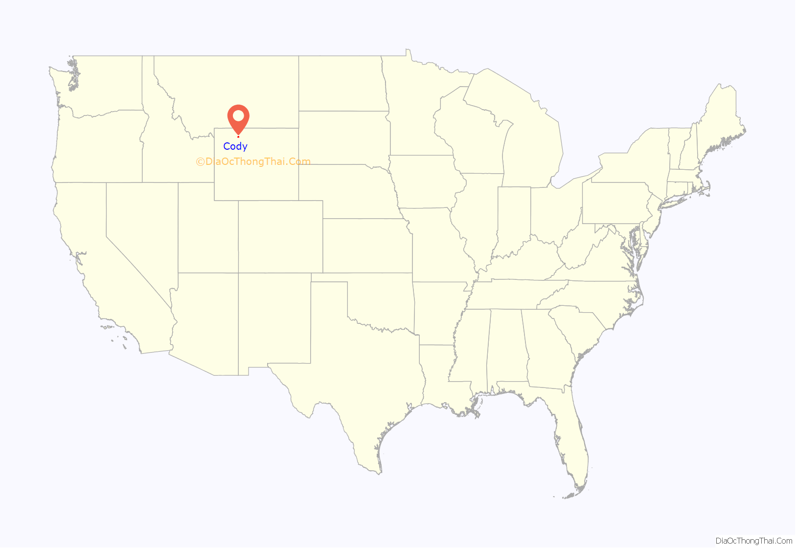
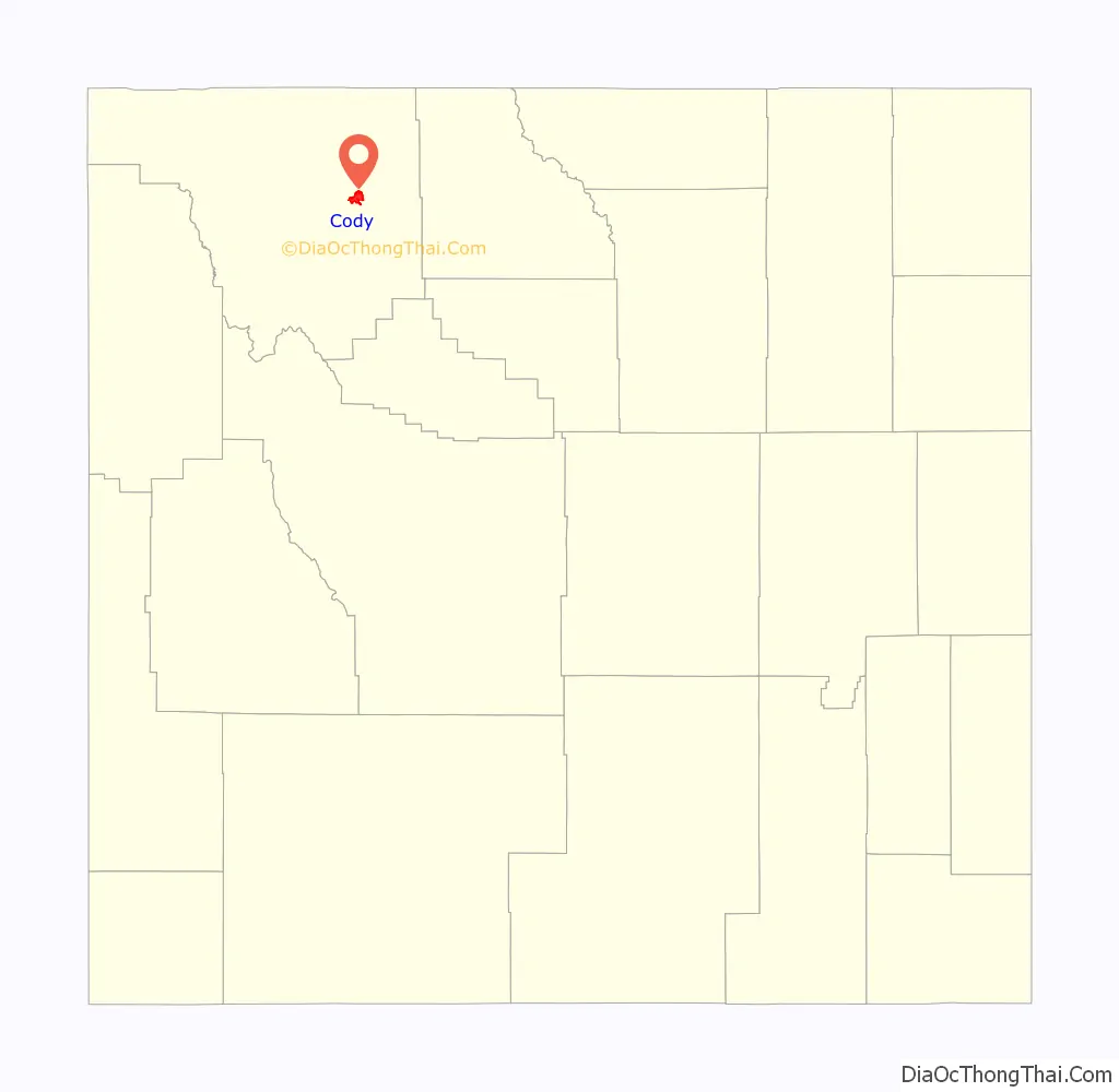
Cody location map. Where is Cody city?
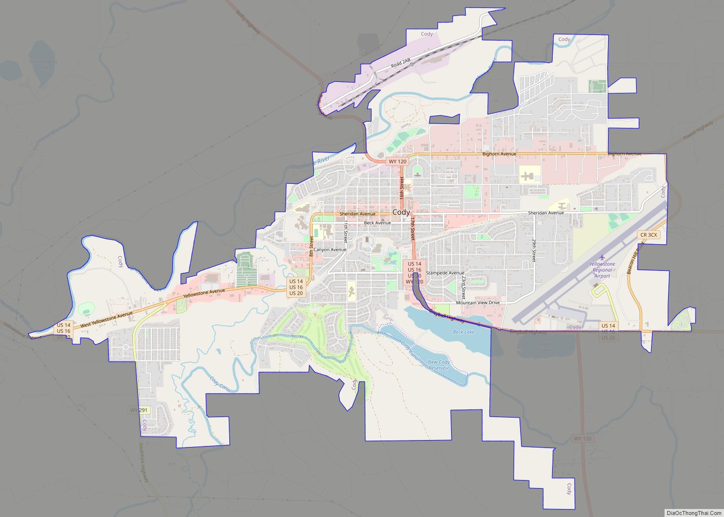
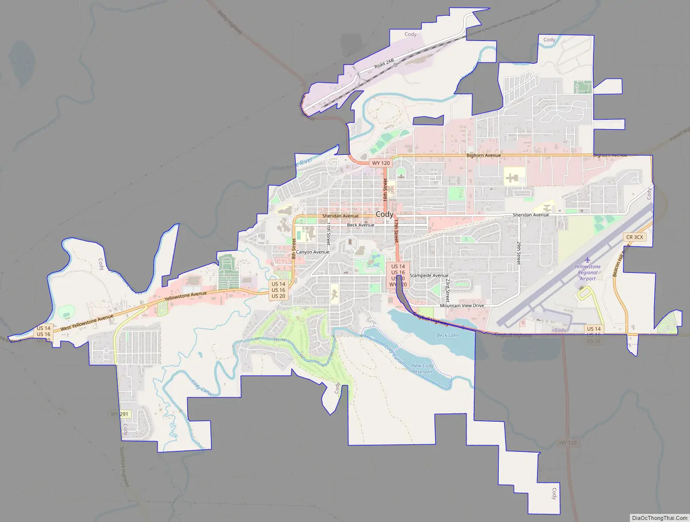
Cody Road Map
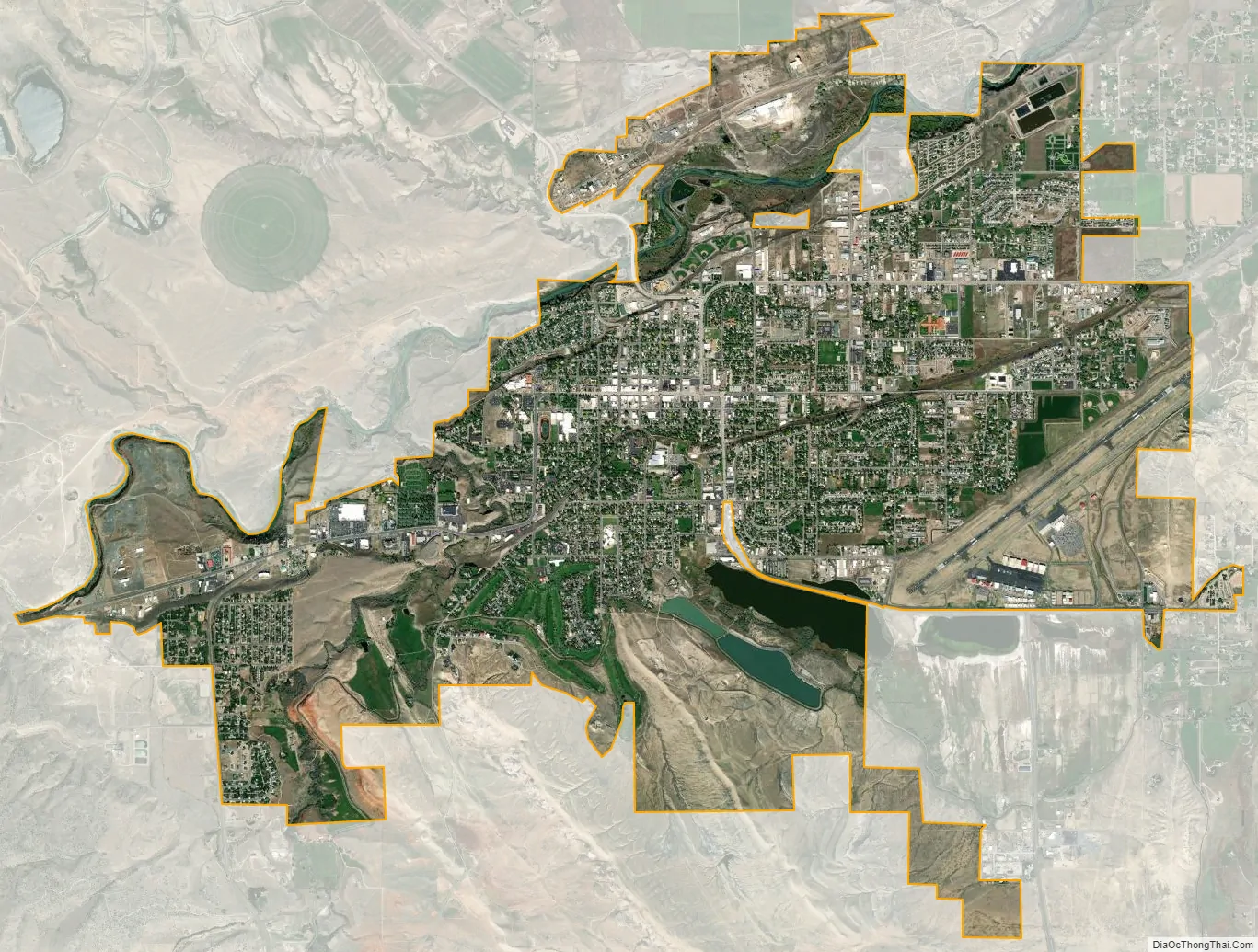
Cody city Satellite Map
Geography
Cody is located at 44°31′24″N 109°3′26″W / 44.52333°N 109.05722°W / 44.52333; -109.05722 (44.523244, −109.057109).
According to the United States Census Bureau, the city has a total area of 10.43 square miles (27.01 km), of which 10.20 square miles (26.42 km) is land and 0.23 square miles (0.60 km) is water.
Cody’s elevation is approximately 5016 ft (1,500 m) above sea level. The main part of the city is split across three levels, separated by about 60 feet (18 m).
The Shoshone River flows through Cody in a canyon. There are four bridges over this river in the Cody vicinity, one at the north edge of town that allows travel to the north, and one about 5 miles (8.0 km) east of Cody that allows passage to Powell and the areas to the north and east. The other two are west of town; one allows access to the East Gate of Yellowstone National Park, and the other is used by fishermen in Shoshone Canyon and as access to the Buffalo Bill Dam.
Cody is located at the western edge of the Bighorn Basin, a depression surrounded by the Big Horn, Owl Creek, Bridger, and Absaroka ranges. At the western edge of Cody, a deep canyon formed by the Shoshone River provides the only passage to Yellowstone’s Eastern Entrance. At its mouth and rising above Cody are Rattlesnake Mountain on the north side and Cedar Mountain on the south side. Much of Cody has views of Heart Mountain, whose 8,123 ft (2,500 m) peak is 9 miles (14 km) directly north of Cody, and the Carter Mountain massif, which forms a line with peaks above 12,000 ft (3,700 m), some 15 miles (24 km) to the south.
Climate
Cody experiences a semi-arid climate (Köppen BSk), with highly variable conditions. Summers are warm, with some heat spells pushing temperatures above 90 °F (32.2 °C). Winters are cold, with frigid periods alternating with sometimes milder temperatures. Relative humidity is usually a fairly dry 30% or less. Precipitation averages 11.5 inches or 292.1 millimetres annually, including 45.0 inches or 1.14 metres of snow per season. Due to the aridity, snow cover is highly unreliable, with 29.4 days per season with 1 inch or 0.025 metres or more on the ground. Cody enjoys about 300 days of sunshine per year.
Wind is almost a constant presence in the Cody area. Air flow in Cody area is turbulent, but during the winter most storms move in from the north-northwest. During the summer, it is not unusual to see storms move in from the southwest. Throughout a normal day, winds can be experienced as coming from almost any direction, mostly from the north and west, but sometimes from the south and east. The Canyon at the west end of Cody funnels rain and wind across the city from the west. The winds can be quite strong at 30 to 40 miles per hour (48 to 64 km/h) and last for several days.
Because of the dry climate, the entire area is laced with irrigation canals, holding ponds, laterals, and drops. The Buffalo Bill Dam between Rattlesnake and Cedar mountains forms a large reservoir about 10 miles (16 km) to the west of Cody. This reservoir (among others) feeds the Shoshone Project, a large irrigation water distribution system.
The monthly daily average temperature ranges from 27.3 °F or −2.6 °C in December to 70.6 °F or 21.4 °C in July. An average of 16.2 days have highs of 90 °F (32 °C) or higher and an average of 12.3 days have lows of 0 °F (−18 °C) or lower; the average window for freezing temperatures is September 30 thru May 10 and for measurable (≥0.1 inches or 0.25 centimetres snow, October 21 thru April 21. The record high temperature was 105 °F or 40.6 °C on July 14, 1925 and July 15, 1951, and the record low temperature was −46 °F or −43.3 °C on February 8, 1936.
The wettest calendar year has been 2014 with 16.59 inches (421.4 mm) and the driest 1956 with 3.58 inches (90.9 mm). The most rainfall in one month was 5.76 in (146 mm) in June 1992. The most rainfall in 24 hours was 2.51 inches or 64 millimetres on July 22, 1973. There are an average of 72.3 days with measurable precipitation. The most snow in one year was 73.4 inches (1.86 m) between July 1916 and June 1917. The most snow in one month was 29.0 inches (0.74 m) in February 2014.
See also
Map of Wyoming State and its subdivision: Map of other states:- Alabama
- Alaska
- Arizona
- Arkansas
- California
- Colorado
- Connecticut
- Delaware
- District of Columbia
- Florida
- Georgia
- Hawaii
- Idaho
- Illinois
- Indiana
- Iowa
- Kansas
- Kentucky
- Louisiana
- Maine
- Maryland
- Massachusetts
- Michigan
- Minnesota
- Mississippi
- Missouri
- Montana
- Nebraska
- Nevada
- New Hampshire
- New Jersey
- New Mexico
- New York
- North Carolina
- North Dakota
- Ohio
- Oklahoma
- Oregon
- Pennsylvania
- Rhode Island
- South Carolina
- South Dakota
- Tennessee
- Texas
- Utah
- Vermont
- Virginia
- Washington
- West Virginia
- Wisconsin
- Wyoming