Cokeville is a town in Lincoln County, Wyoming, United States. The population was 535 at the 2010 census. The town is best known for the Cokeville Elementary School hostage crisis.
| Name: | Cokeville town |
|---|---|
| LSAD Code: | 43 |
| LSAD Description: | town (suffix) |
| State: | Wyoming |
| County: | Lincoln County |
| Elevation: | 6,194 ft (1,888 m) |
| Total Area: | 1.30 sq mi (3.38 km²) |
| Land Area: | 1.30 sq mi (3.38 km²) |
| Water Area: | 0.00 sq mi (0.00 km²) |
| Total Population: | 535 |
| Population Density: | 424.52/sq mi (163.95/km²) |
| ZIP code: | 83114 |
| Area code: | 307 |
| FIPS code: | 5615905 |
| GNISfeature ID: | 1609079 |
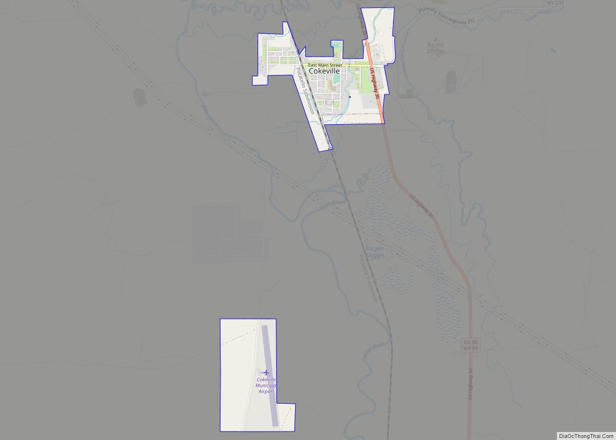
Online Interactive Map
Click on ![]() to view map in "full screen" mode.
to view map in "full screen" mode.
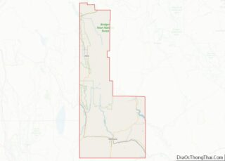
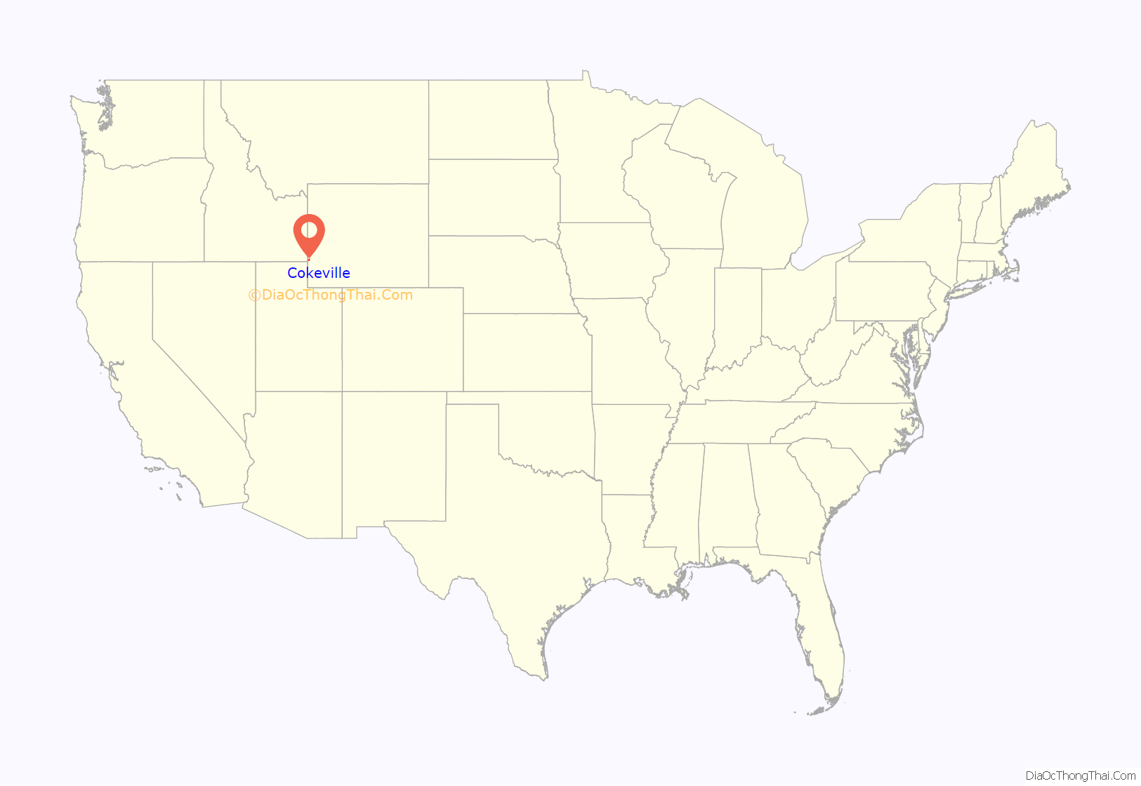
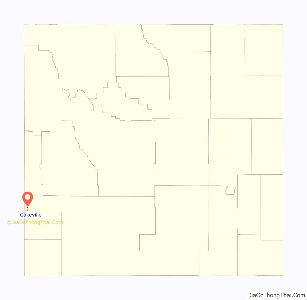
Cokeville location map. Where is Cokeville town?
History
The Shoshone Indians were the first inhabitants of the area. The first Euro-American settler, Tilford Kutch, arrived in 1869. In 1873, he opened a trading post and ran a ferry across Smiths Fork. After the arrival of the railroad in 1882, the town grew, and was incorporated in 1910.
The town was named for the coal found in the area. Following the railroad, sheep ranching became more popular, reaching its peak in 1918, when Cokeville was informally called the “Sheep Capital of the World”.
On May 16, 1986, former town marshal David Young and his wife Doris Young took 167 children and adults hostage at Cokeville Elementary School. During the Cokeville Elementary School hostage crisis. The children and adults escaped after the bomb exploded. Both hostage takers died, while 79 hostages were wounded.
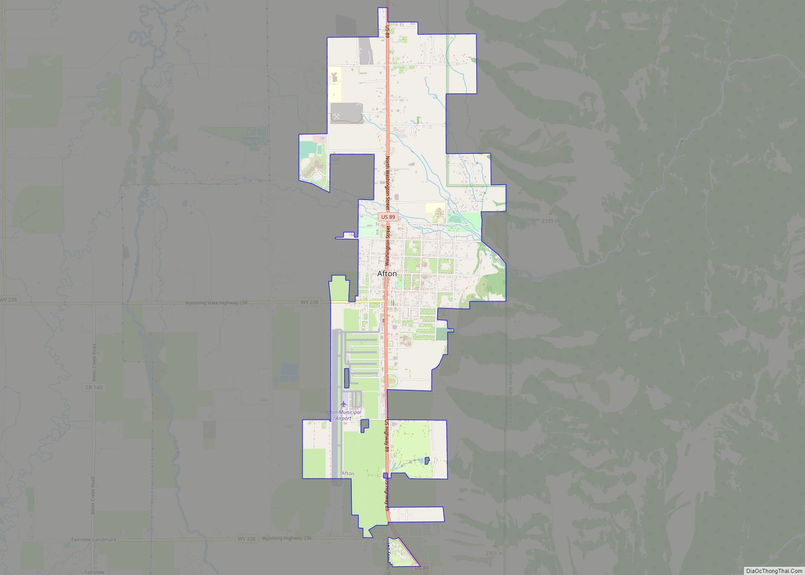
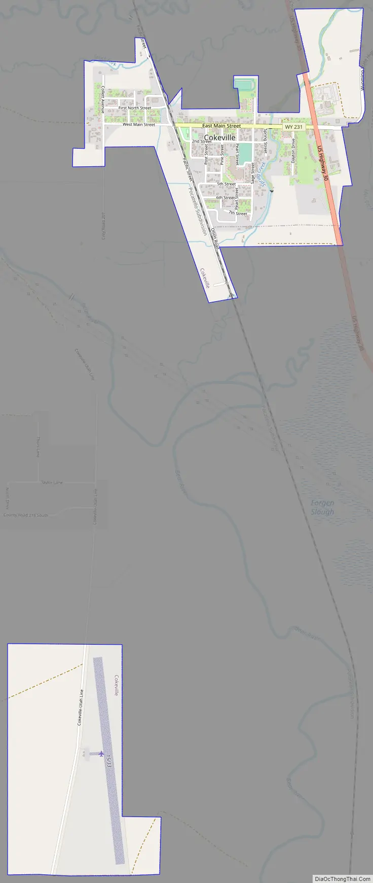
Cokeville Road Map
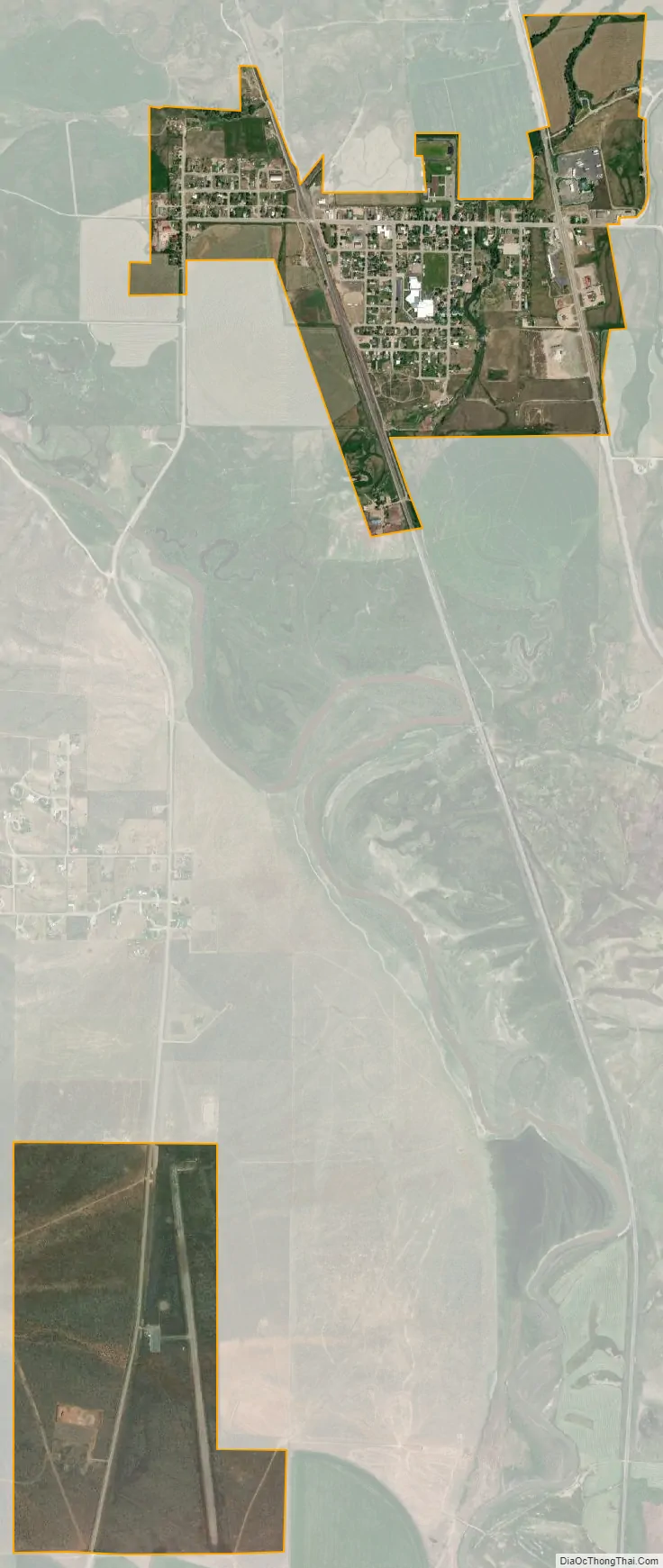
Cokeville city Satellite Map
Geography
Cokeville is located at 42°5′6″N 110°57′20″W / 42.08500°N 110.95556°W / 42.08500; -110.95556 (42.084940, −110.955684).
According to the United States Census Bureau, the town has a total area of 1.18 square miles (3.06 km), all land.
See also
Map of Wyoming State and its subdivision: Map of other states:- Alabama
- Alaska
- Arizona
- Arkansas
- California
- Colorado
- Connecticut
- Delaware
- District of Columbia
- Florida
- Georgia
- Hawaii
- Idaho
- Illinois
- Indiana
- Iowa
- Kansas
- Kentucky
- Louisiana
- Maine
- Maryland
- Massachusetts
- Michigan
- Minnesota
- Mississippi
- Missouri
- Montana
- Nebraska
- Nevada
- New Hampshire
- New Jersey
- New Mexico
- New York
- North Carolina
- North Dakota
- Ohio
- Oklahoma
- Oregon
- Pennsylvania
- Rhode Island
- South Carolina
- South Dakota
- Tennessee
- Texas
- Utah
- Vermont
- Virginia
- Washington
- West Virginia
- Wisconsin
- Wyoming