Diamondville is a town in Lincoln County, Wyoming, United States. The population was 737 at the 2010 census.
| Name: | Diamondville town |
|---|---|
| LSAD Code: | 43 |
| LSAD Description: | town (suffix) |
| State: | Wyoming |
| County: | Lincoln County |
| Elevation: | 6,893 ft (2,101 m) |
| Total Area: | 1.17 sq mi (3.03 km²) |
| Land Area: | 1.17 sq mi (3.02 km²) |
| Water Area: | 0.00 sq mi (0.01 km²) |
| Total Population: | 737 |
| Population Density: | 648.67/sq mi (250.53/km²) |
| ZIP code: | 83116 |
| Area code: | 307 |
| FIPS code: | 5620110 |
| GNISfeature ID: | 1587599 |
| Website: | www.diamondvillewyo.com |
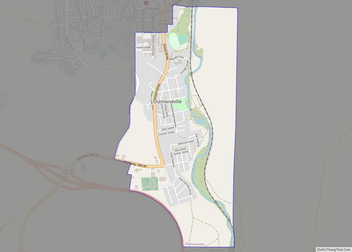
Online Interactive Map
Click on ![]() to view map in "full screen" mode.
to view map in "full screen" mode.
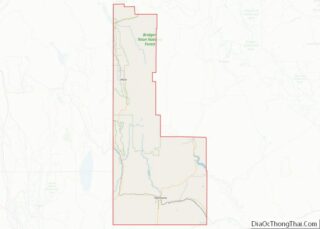
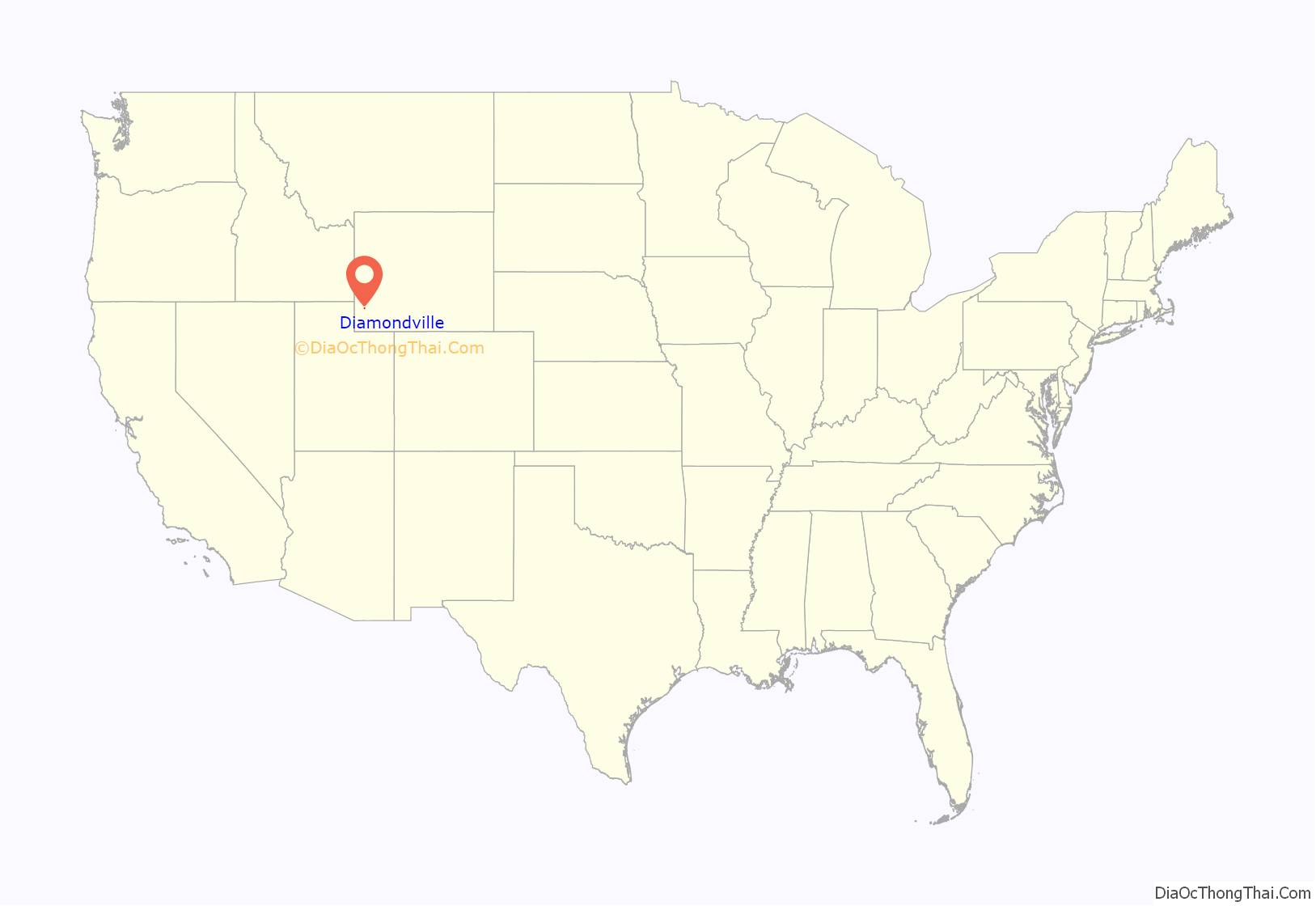
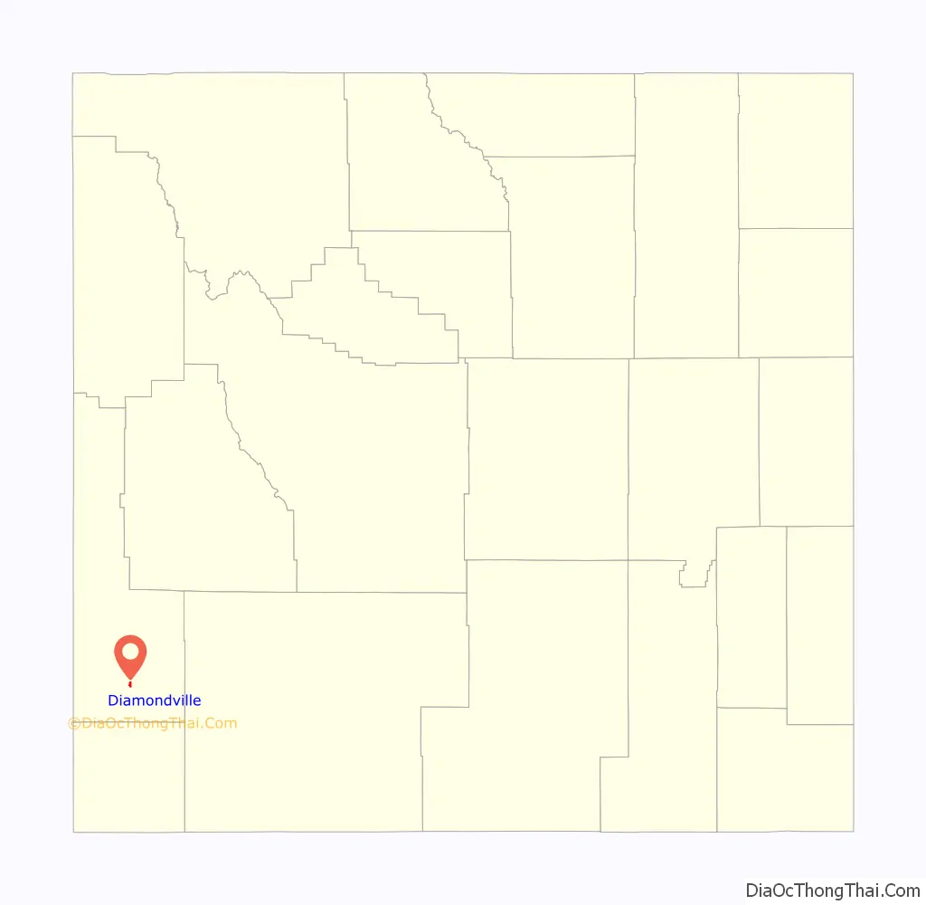
Diamondville location map. Where is Diamondville town?
History
Harrison Church discovered coal near the Hams Fork River in 1868. He gathered financial backing from a group in Minneapolis, and they formed the Hams Fork River Coal Company. Diamondville was built to house the miners, and the town was incorporated in 1896.
The town was named for the superior-grade coal that came from the local mines. The coal resembled black diamonds.
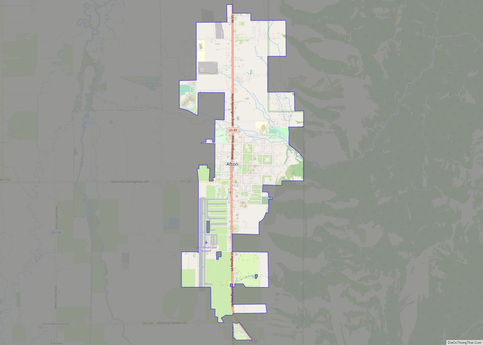
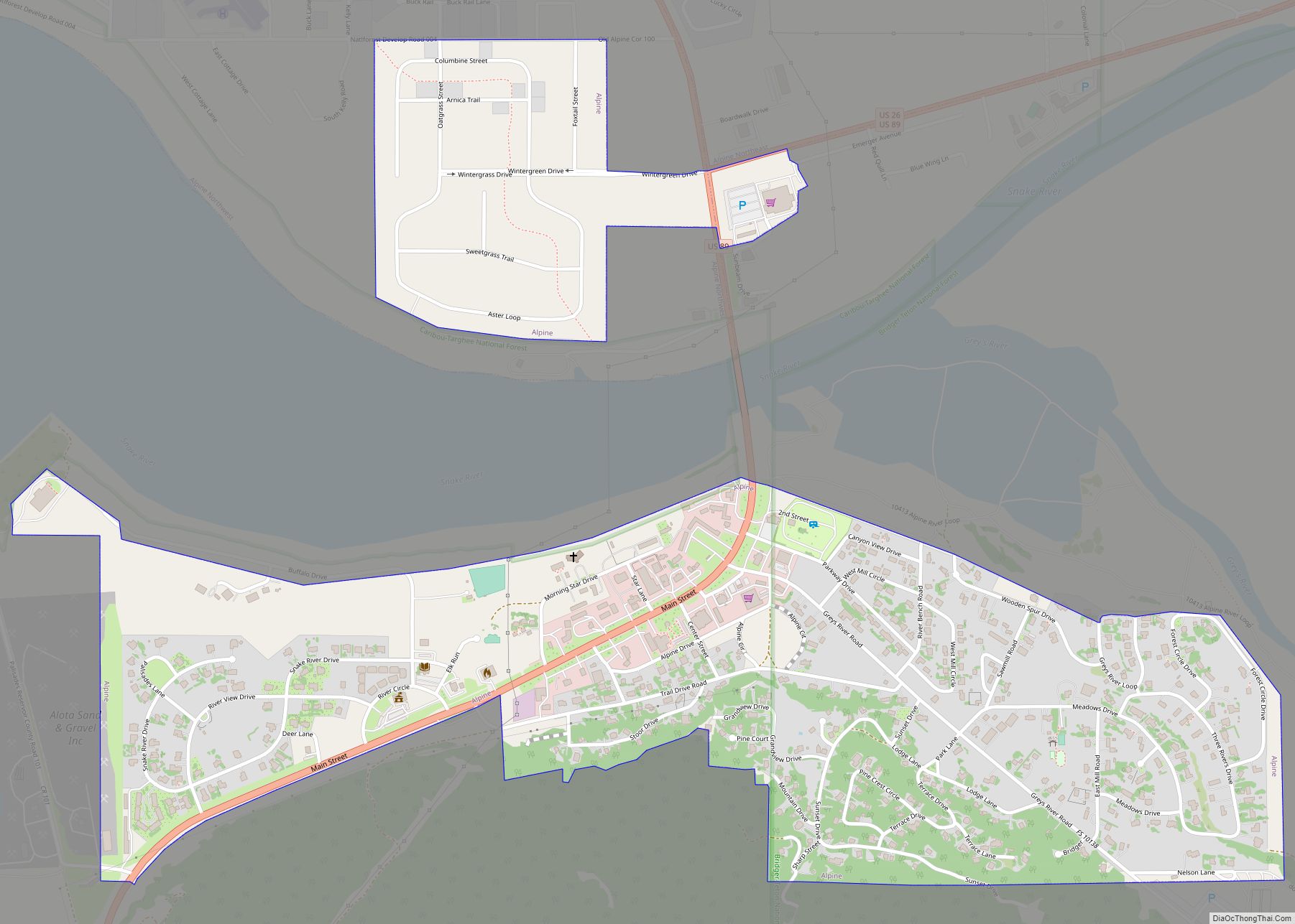
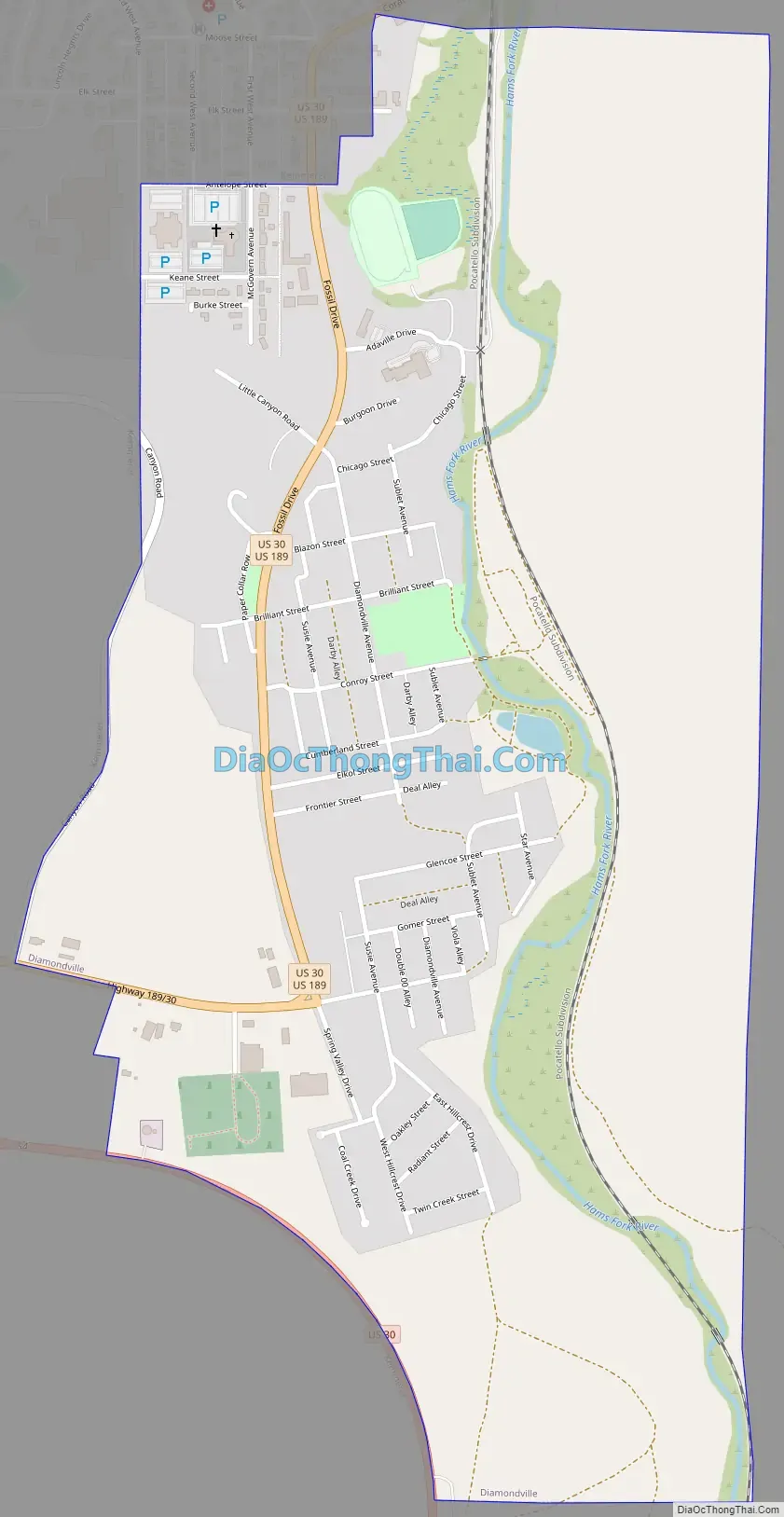
Diamondville Road Map
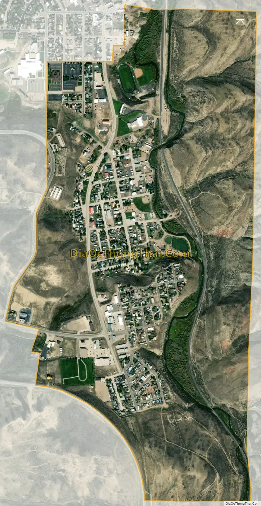
Diamondville city Satellite Map
Geography
Diamondville is located at 41°46′31″N 110°32′17″W / 41.77528°N 110.53806°W / 41.77528; -110.53806 (41.775192, -110.537989).
According to the United States Census Bureau, the town has a total area of 1.17 square miles (3.03 km), all land.
See also
Map of Wyoming State and its subdivision: Map of other states:- Alabama
- Alaska
- Arizona
- Arkansas
- California
- Colorado
- Connecticut
- Delaware
- District of Columbia
- Florida
- Georgia
- Hawaii
- Idaho
- Illinois
- Indiana
- Iowa
- Kansas
- Kentucky
- Louisiana
- Maine
- Maryland
- Massachusetts
- Michigan
- Minnesota
- Mississippi
- Missouri
- Montana
- Nebraska
- Nevada
- New Hampshire
- New Jersey
- New Mexico
- New York
- North Carolina
- North Dakota
- Ohio
- Oklahoma
- Oregon
- Pennsylvania
- Rhode Island
- South Carolina
- South Dakota
- Tennessee
- Texas
- Utah
- Vermont
- Virginia
- Washington
- West Virginia
- Wisconsin
- Wyoming