Fort Laramie is a town in Goshen County, Wyoming, United States. The population was 230 at the 2010 census. The town is named after historic Fort Laramie, an important stop on the Oregon, California and Mormon trails, as well as a staging point for various military excursions and treaty signings. The old fort was located south of town across the North Platte River, at the mouth of the Laramie River.
| Name: | Fort Laramie town |
|---|---|
| LSAD Code: | 43 |
| LSAD Description: | town (suffix) |
| State: | Wyoming |
| County: | Goshen County |
| Elevation: | 4,239 ft (1,292 m) |
| Total Area: | 0.25 sq mi (0.65 km²) |
| Land Area: | 0.25 sq mi (0.65 km²) |
| Water Area: | 0.00 sq mi (0.00 km²) |
| Total Population: | 230 |
| Population Density: | 904.38/sq mi (348.55/km²) |
| ZIP code: | 82212 |
| Area code: | 307 |
| FIPS code: | 5628230 |
| GNISfeature ID: | 1588642 |
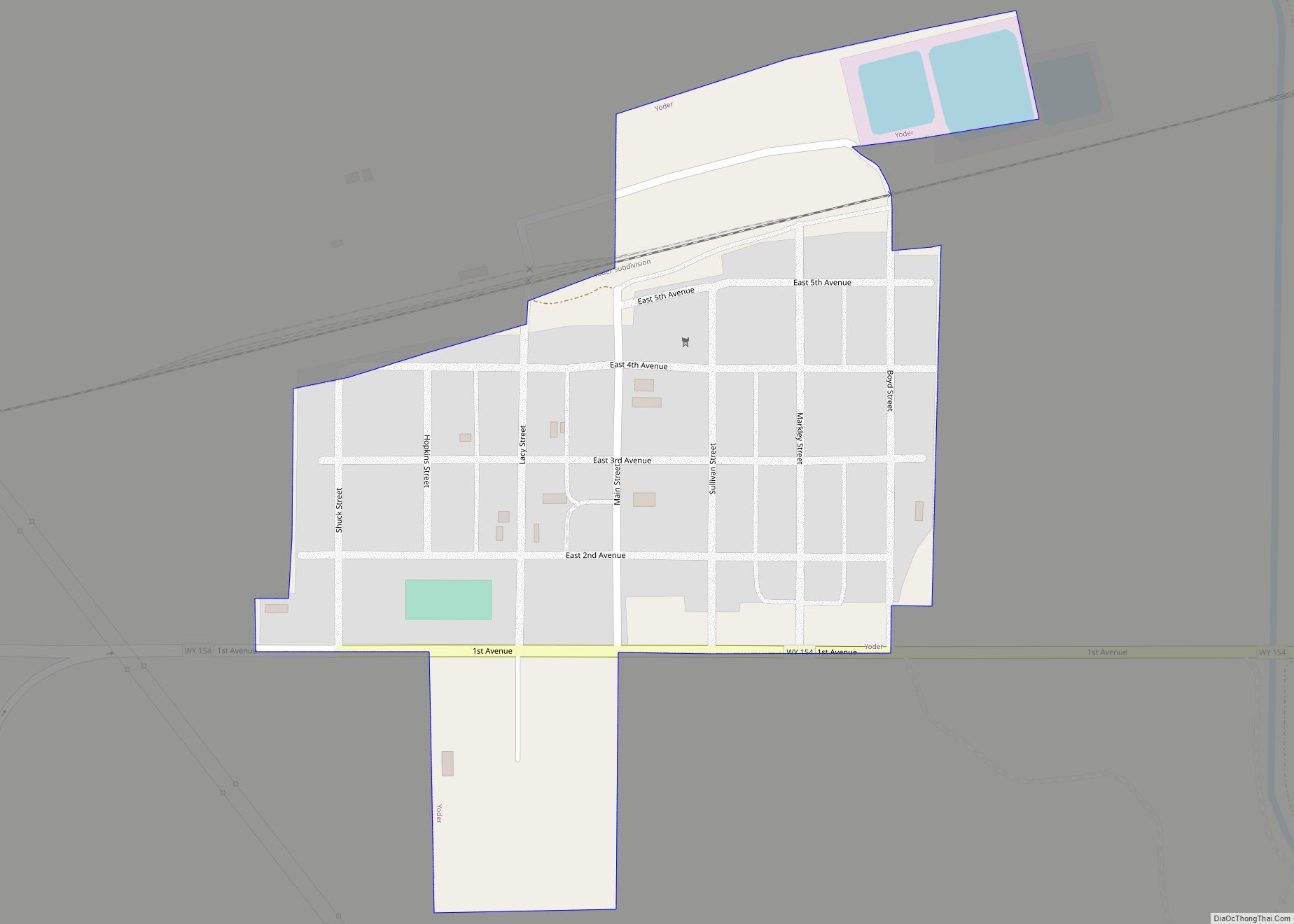
Online Interactive Map
Click on ![]() to view map in "full screen" mode.
to view map in "full screen" mode.
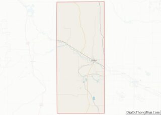
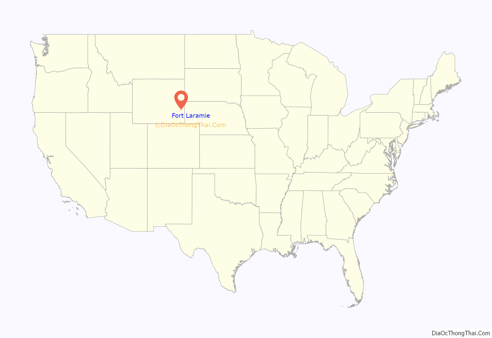
Fort Laramie location map. Where is Fort Laramie town?
History
In 1860 Fort Laramie served as a Pony Express station.
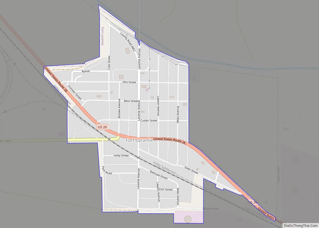
Fort Laramie Road Map
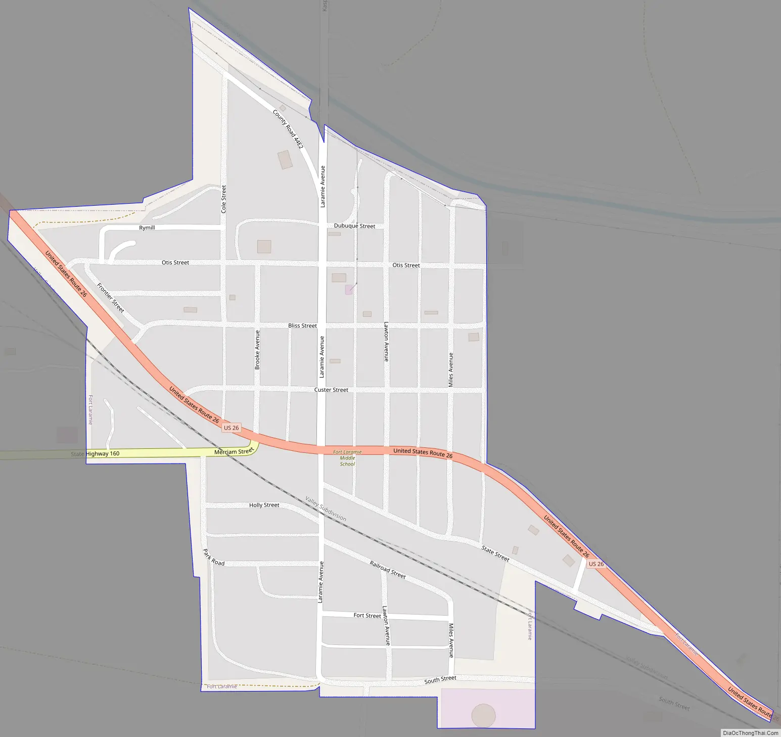
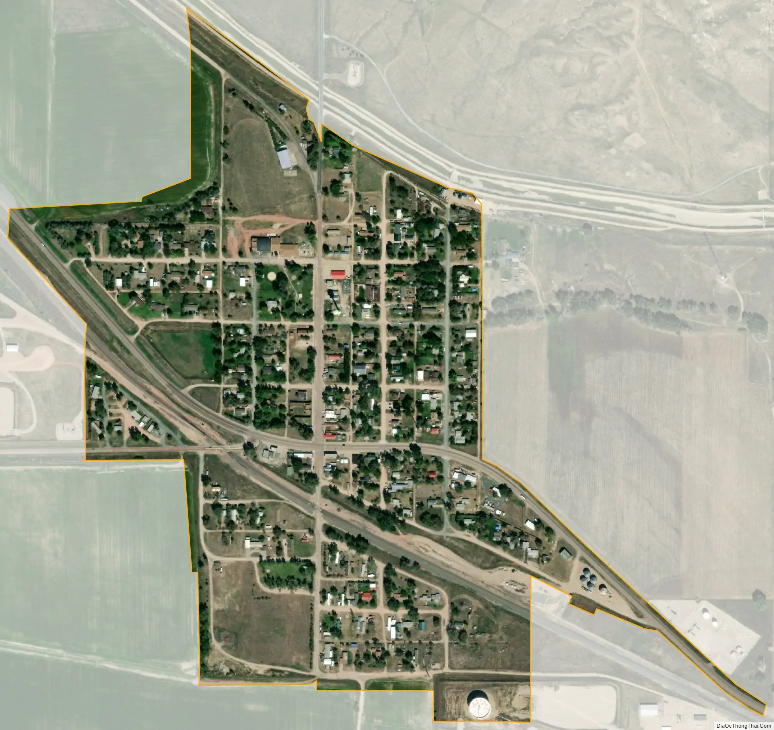
Fort Laramie city Satellite Map
Geography
Fort Laramie is located at 42°12′48″N 104°31′2″W / 42.21333°N 104.51722°W / 42.21333; -104.51722 (42.213233, -104.517123).
According to the United States Census Bureau, the town has a total area of 0.27 square miles (0.70 km), all land.
See also
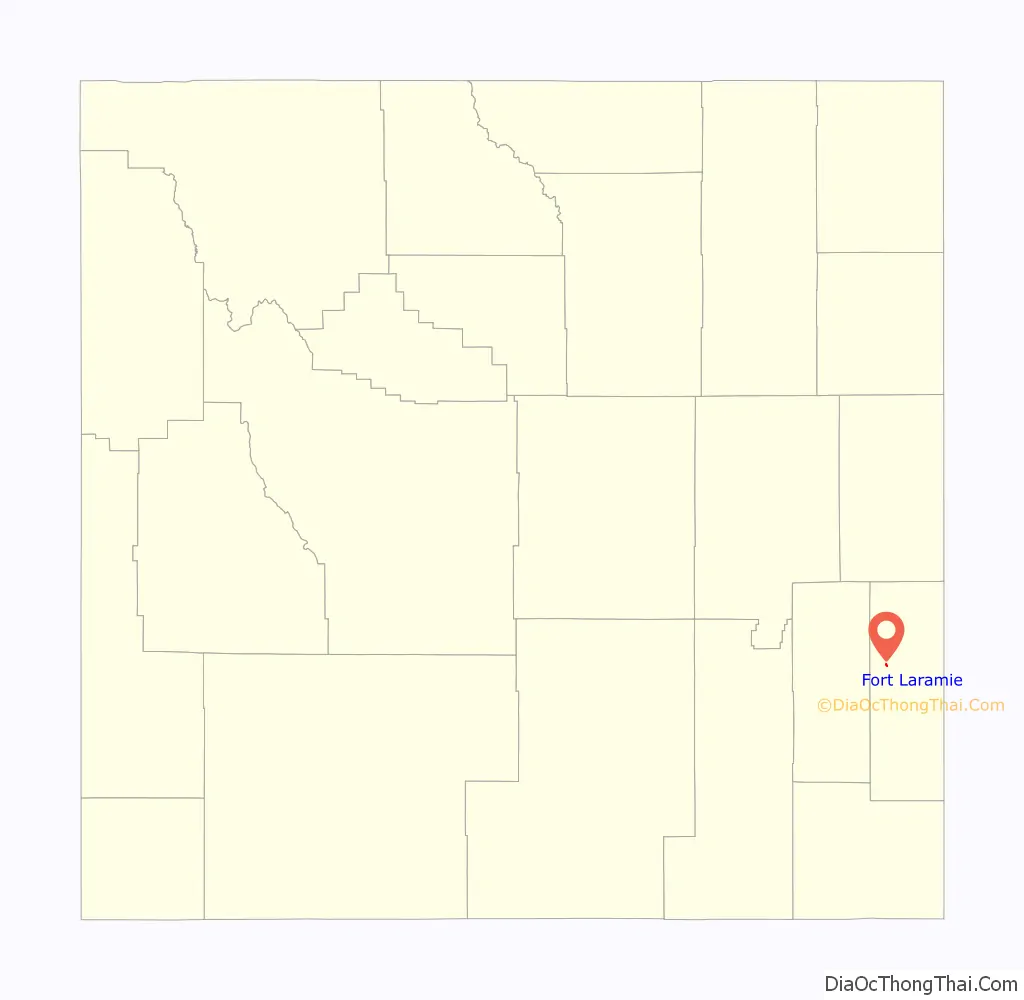
Map of Wyoming State and its subdivision: Map of other states:- Alabama
- Alaska
- Arizona
- Arkansas
- California
- Colorado
- Connecticut
- Delaware
- District of Columbia
- Florida
- Georgia
- Hawaii
- Idaho
- Illinois
- Indiana
- Iowa
- Kansas
- Kentucky
- Louisiana
- Maine
- Maryland
- Massachusetts
- Michigan
- Minnesota
- Mississippi
- Missouri
- Montana
- Nebraska
- Nevada
- New Hampshire
- New Jersey
- New Mexico
- New York
- North Carolina
- North Dakota
- Ohio
- Oklahoma
- Oregon
- Pennsylvania
- Rhode Island
- South Carolina
- South Dakota
- Tennessee
- Texas
- Utah
- Vermont
- Virginia
- Washington
- West Virginia
- Wisconsin
- Wyoming