Glenrock is a town in Converse County, Wyoming, United States. The population was 2,576 at the 2010 census.
| Name: | Glenrock town |
|---|---|
| LSAD Code: | 43 |
| LSAD Description: | town (suffix) |
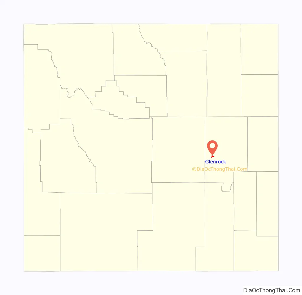
| State: | Wyoming |
| County: | Converse County |
| Elevation: | 5,020 ft (1,530 m) |
| Total Area: | 2.30 sq mi (5.96 km²) |
| Land Area: | 2.30 sq mi (5.96 km²) |
| Water Area: | 0.00 sq mi (0.00 km²) |
| Total Population: | 2,576 |
| Population Density: | 1,118.59/sq mi (431.97/km²) |
| ZIP code: | 82637 |
| Area code: | 307 |
| FIPS code: | 5632435 |
| GNISfeature ID: | 1609095 |
| Website: | https://glenrock.org/ |
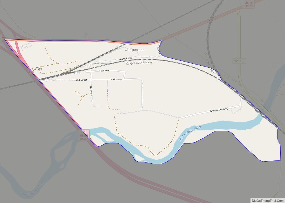
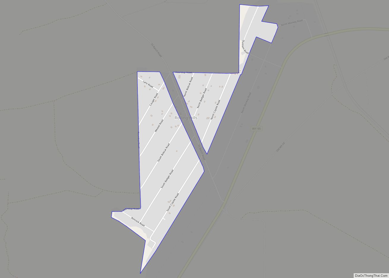
Online Interactive Map
Click on ![]() to view map in "full screen" mode.
to view map in "full screen" mode.
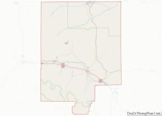
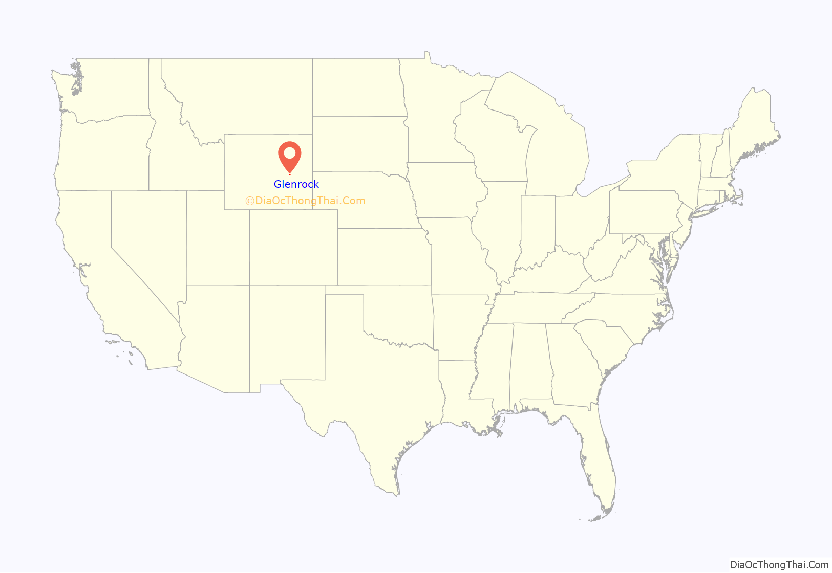
Glenrock location map. Where is Glenrock town?
History
Glenrock, known as Deer Creek Station, had its beginning as a mail and stage station along the Oregon Trail. The station served as a stopping point along the trail and was a vital supply point for thousands of emigrants as they traveled westward. A significant number of industries were established after 1889 and expanded the growth and economy of many communities like Glenrock in central Wyoming.
Historical Sites
Rock in the Glen
- This landmark has been viewed by an estimated 350,000 immigrants that have migrated westward since the mid-1800s. In 1812, it was first discovered by American fur trappers during a creation of a fur trapping route. This trappers trail has known many names depending upon the group traveling upon it. These names include the Oregon, California, and Mormon trails.
Mormon Mines
- On June 10, 1847, the first group of Mormons reached Deer Creek in the Glenrock region. A mere ten days later, a coal mine produced the first recorded coal mined in the Wyoming territory.
Deer Creek Station
- Originally, Deer Creek Station stood as a pioneer and Indian trading post in the 1850s and as a relay terminal for the overland stage line. Ten years later in 1860, it would become a “home station for the pony express.” In 1861, the station became incorporated into the telegraph system. On October 18, 1861, the telegrapher at Deer Creek Station helped to send along the first relayed message to Cleveland, Ohio from the West. As the telegraphy began to replace the pony express, the relationship between Indians and the U.S. Government worsened in the Glenrock region. Over the course of three years, from 1862-1866, Deer Creek Station stood as a military outpost. With few troops stationed in the fort, in 1866, Indians burned it down, this includes the telegraph station located in Deer Creek Station. It was never rebuilt as traffic on the old trails dwindled and it became part of the past.
Glenrock train wreck
September 27, 1923 – near Glenrock, Wyoming, soon after the washout of Chicago, Burlington and Quincy Railroad’s bridge over Cole Creek, a passenger train fell through the washout, killing 30 of the train’s 66 passengers. This marked the worst railroad accident in Wyoming’s history.
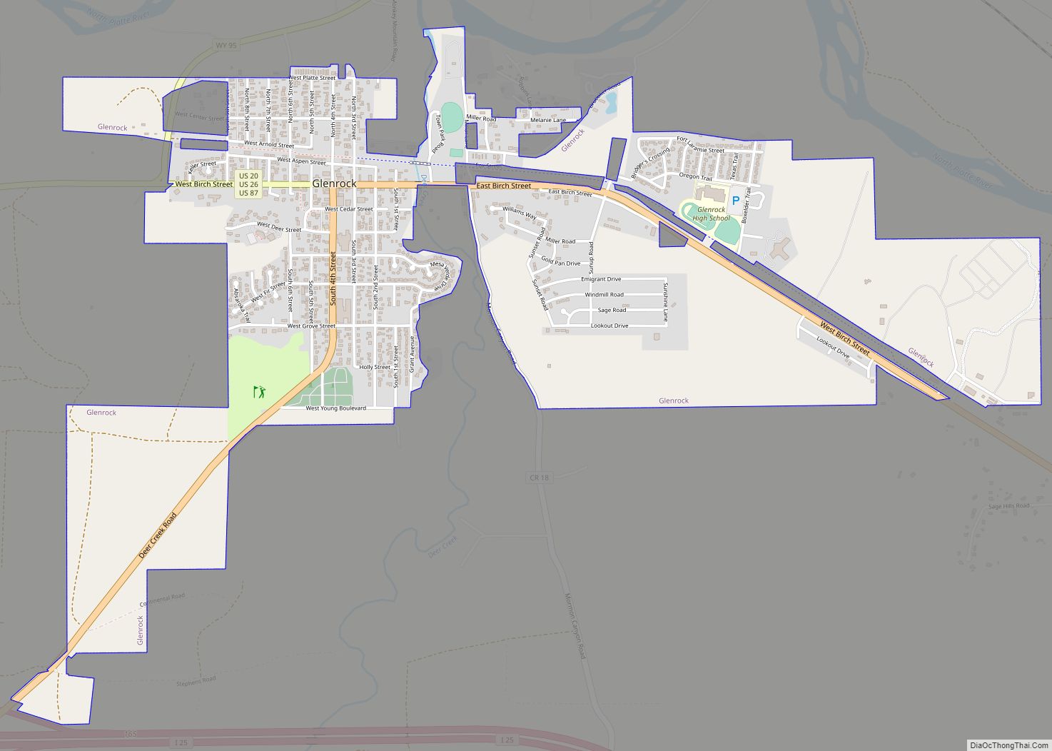
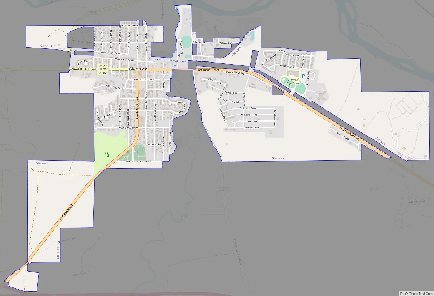
Glenrock Road Map
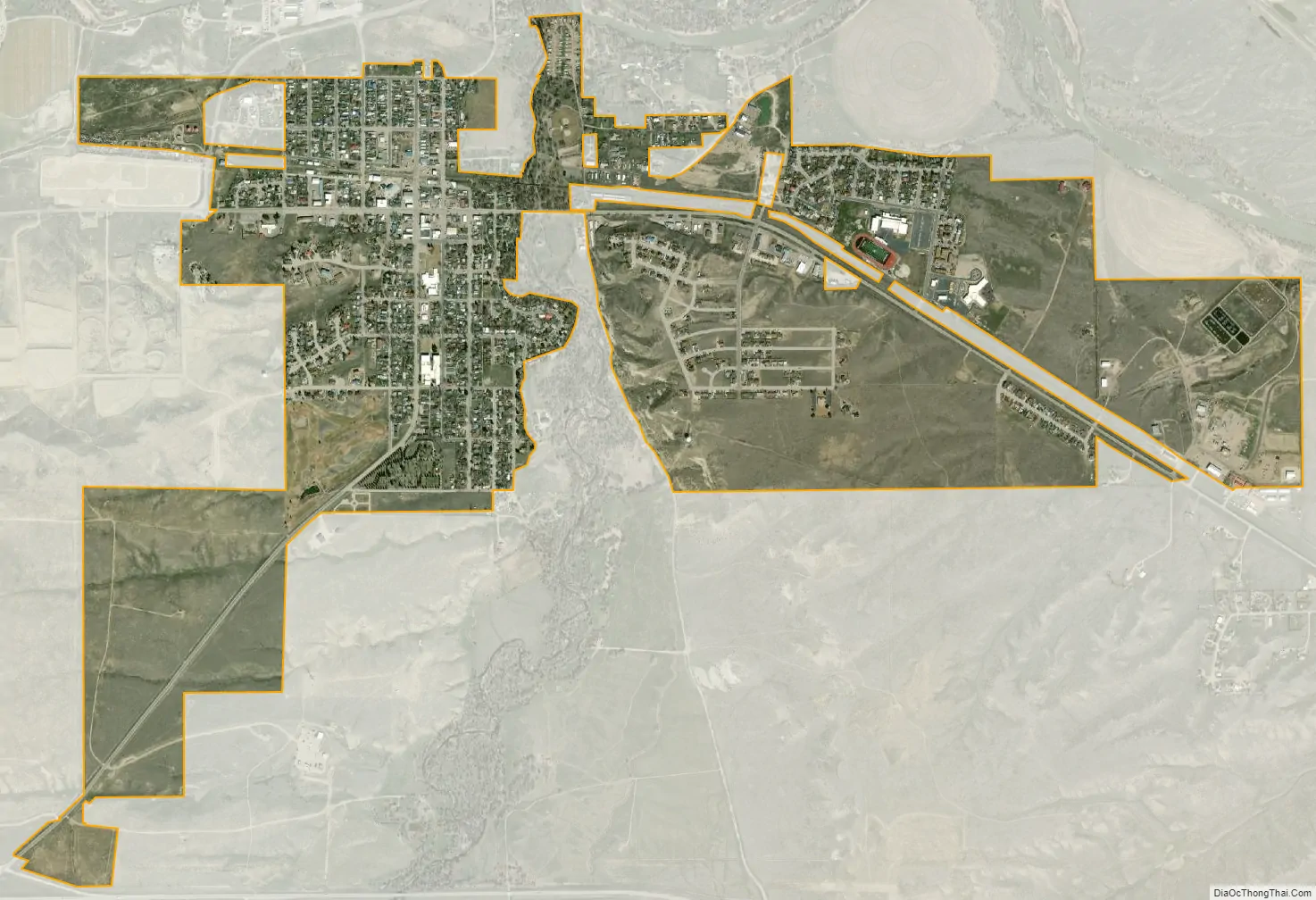
Glenrock city Satellite Map
Geography
Glenrock is located at 42°51′29″N 105°51′58″W / 42.85806°N 105.86611°W / 42.85806; -105.86611 (42.858145, -105.866170).
According to the United States Census Bureau, the town has a total area of 2.28 square miles (5.91 km), all land.
See also
Map of Wyoming State and its subdivision: Map of other states:- Alabama
- Alaska
- Arizona
- Arkansas
- California
- Colorado
- Connecticut
- Delaware
- District of Columbia
- Florida
- Georgia
- Hawaii
- Idaho
- Illinois
- Indiana
- Iowa
- Kansas
- Kentucky
- Louisiana
- Maine
- Maryland
- Massachusetts
- Michigan
- Minnesota
- Mississippi
- Missouri
- Montana
- Nebraska
- Nevada
- New Hampshire
- New Jersey
- New Mexico
- New York
- North Carolina
- North Dakota
- Ohio
- Oklahoma
- Oregon
- Pennsylvania
- Rhode Island
- South Carolina
- South Dakota
- Tennessee
- Texas
- Utah
- Vermont
- Virginia
- Washington
- West Virginia
- Wisconsin
- Wyoming