Huntley is a census-designated place (CDP) in Goshen County, Wyoming, United States. The population was 30 according to the 2010 census.
Former Wyoming Governor Stanley K. Hathaway grew up on a farm here, and graduated from Huntley High School as class valedictorian in 1941. He was the only one in his senior class.
| Name: | Huntley CDP |
|---|---|
| LSAD Code: | 57 |
| LSAD Description: | CDP (suffix) |
| State: | Wyoming |
| County: | Goshen County |
| Elevation: | 4,236 ft (1,291 m) |
| Total Area: | 0.3 sq mi (0.7 km²) |
| Land Area: | 0.3 sq mi (0.7 km²) |
| Water Area: | 0.0 sq mi (0.0 km²) |
| Total Population: | 30 |
| Population Density: | 100/sq mi (43/km²) |
| ZIP code: | 82218 |
| Area code: | 307 |
| FIPS code: | 5639250 |
| GNISfeature ID: | 1589822 |
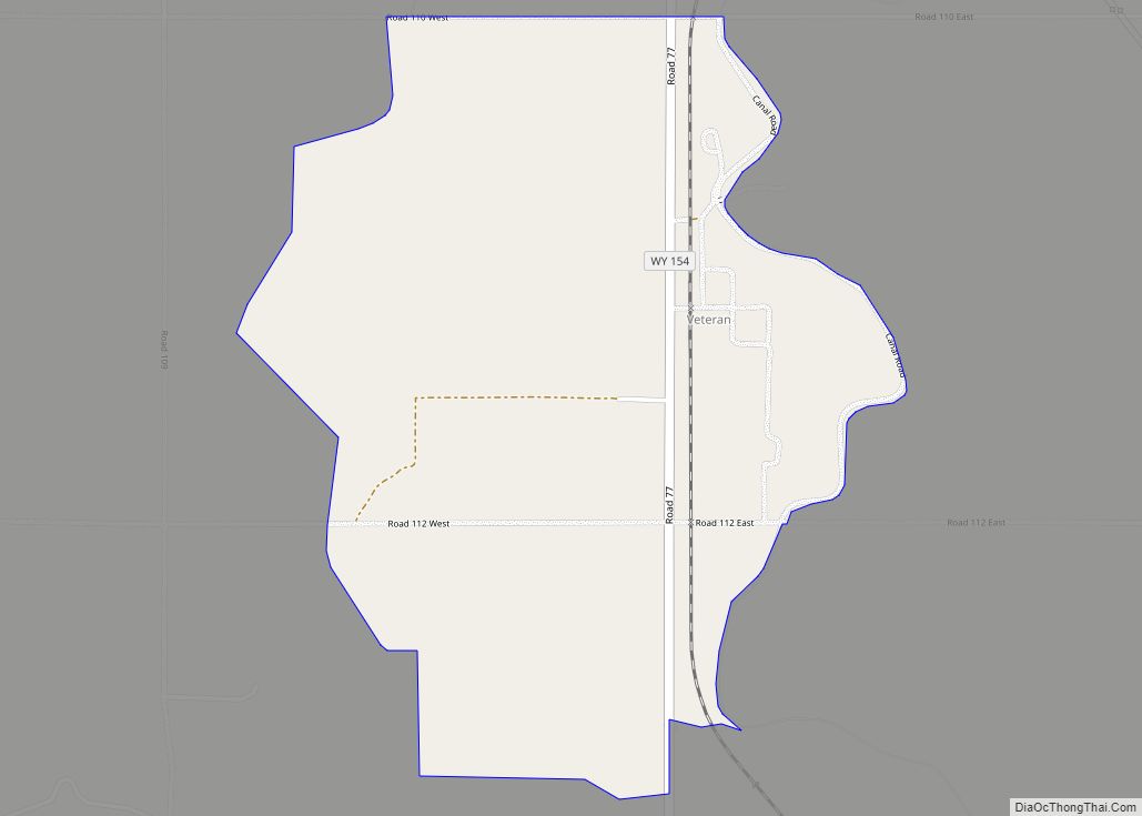
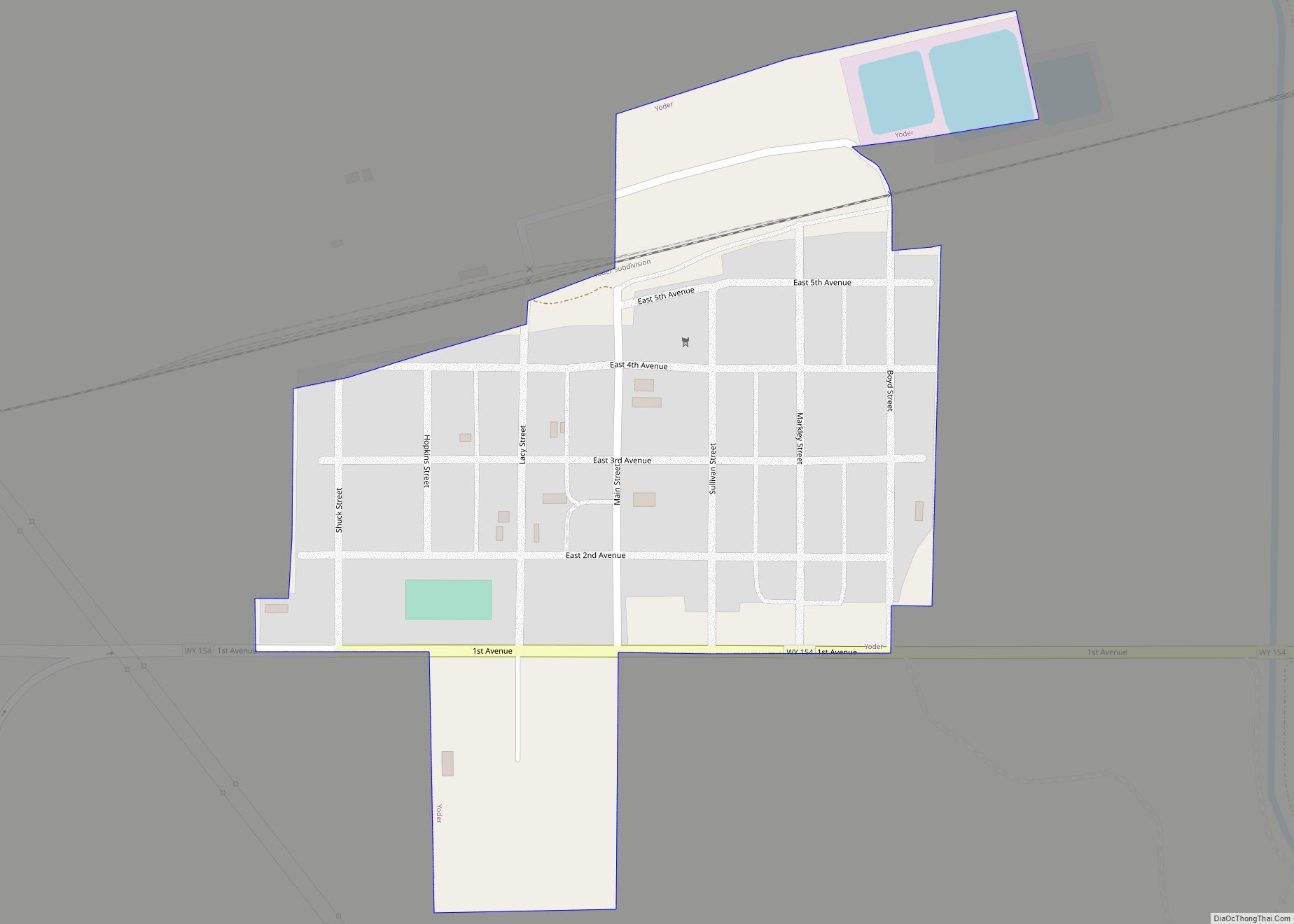
Online Interactive Map
Click on ![]() to view map in "full screen" mode.
to view map in "full screen" mode.
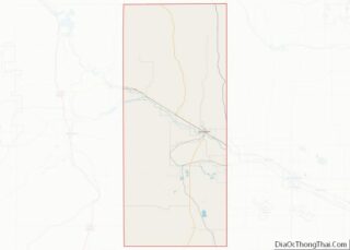
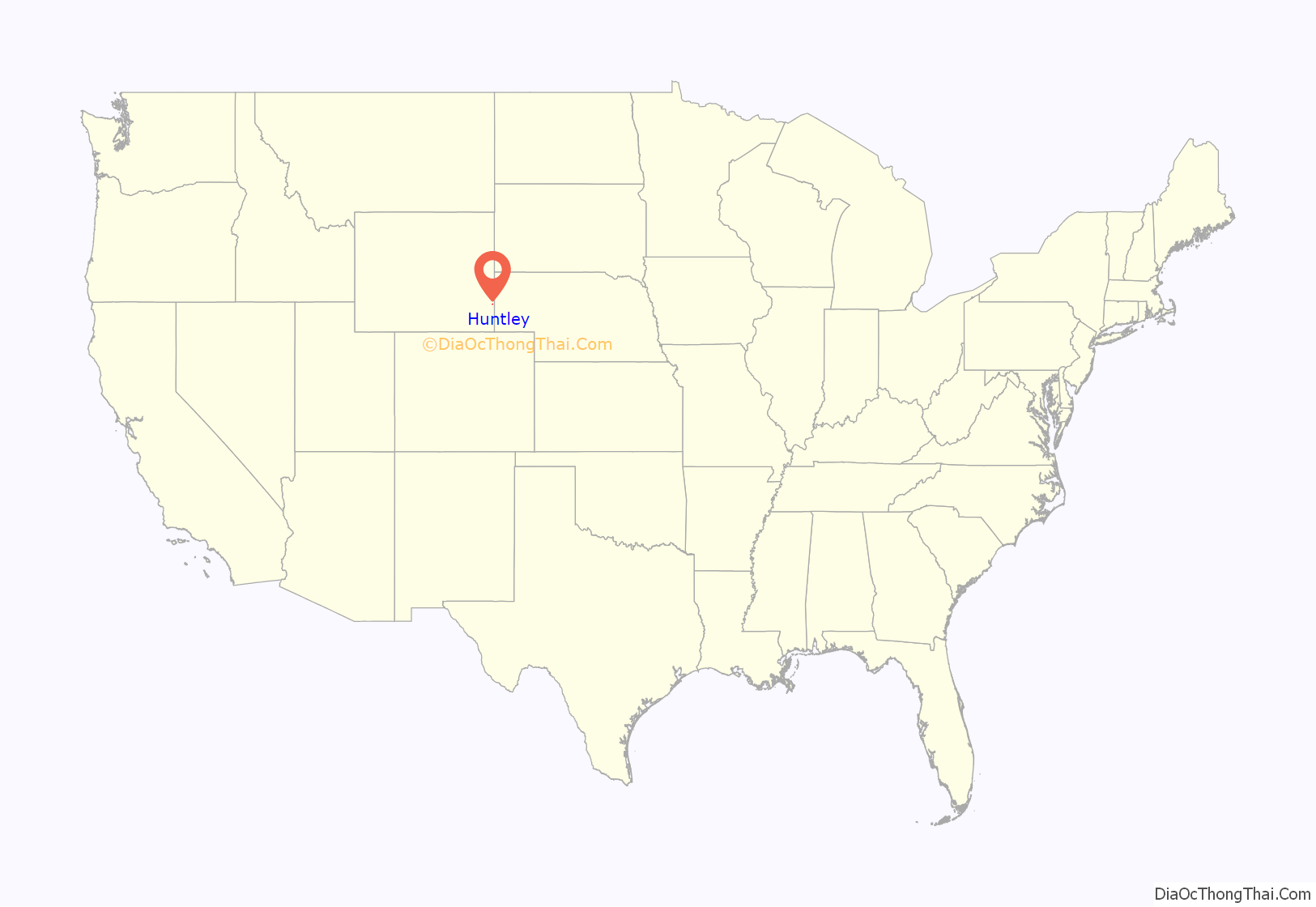
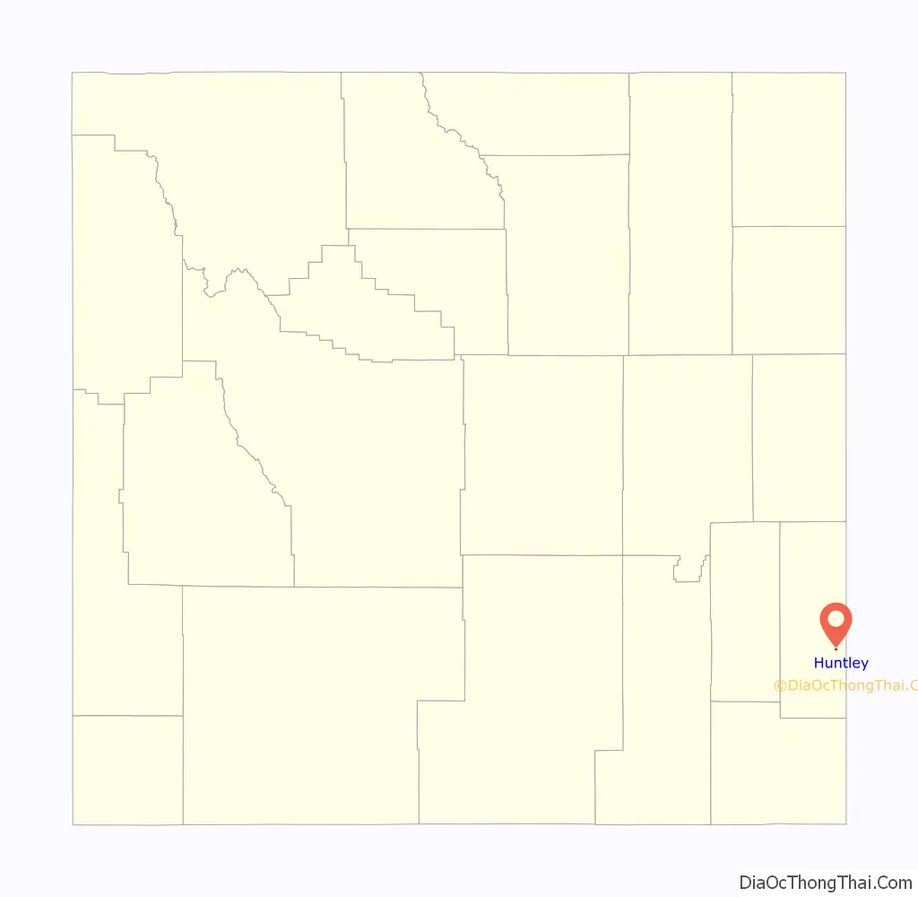
Huntley location map. Where is Huntley CDP?
History
Around 1900, a fund established by the wealthy European philanthropist Baron Maurice de Hirsch to promote farming in the United States, sponsored about 50 families by supporting them in establishing a new community around what is now Huntley, eight miles south of the North Platte River, and five miles west of the Nebraska border.
The new residents came mostly from New York and Pennsylvania, as well as some from Europe. And, on July 6, 1906, six men from the community first filed claims for 160-acre homesteads located in and around present-day Huntley. Most of the homesteaders and their families started out there living in sod dugouts that they built for use as dwellings.
Among the challenges for the new residents was that the nearest water was about half a mile away in the Katzer Canal, and obtaining needed supplies was difficult, as the closest general store was in Mitchell, Nebraska, about 15 miles to the east. Most of the settlers did not originally own horses, and walked to Mitchell to purchase supplies—carrying flour, sugar, beans, rice and salt back to their homesteads in knapsacks. About a year later, however, Baron de Hirsch’s fund sent five hundred dollars, a huge sum in those days, to each family. With this generous financial support from de Hersch, the settlers were then able to purchase horses, wagons, machinery, a milk cow, and tools. And, before long, Huntley had a post office, a church, a grocery store, and a lumber yard.
In 1908, de Hirsch sponsored another 40 or 45 more families coming to Wyoming, who settled in an area a few miles northeast of present-day the Huntley, known as the community of Allen, and a school and a synagogue were established.
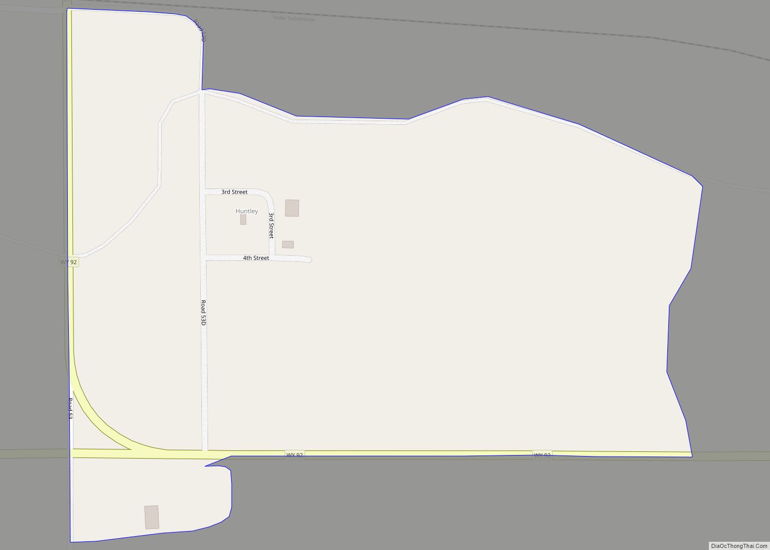
Huntley Road Map
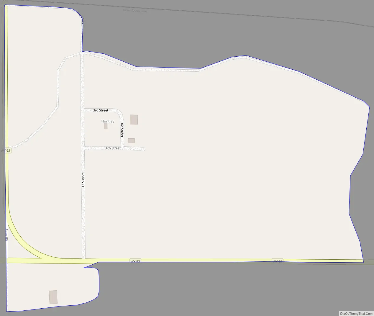
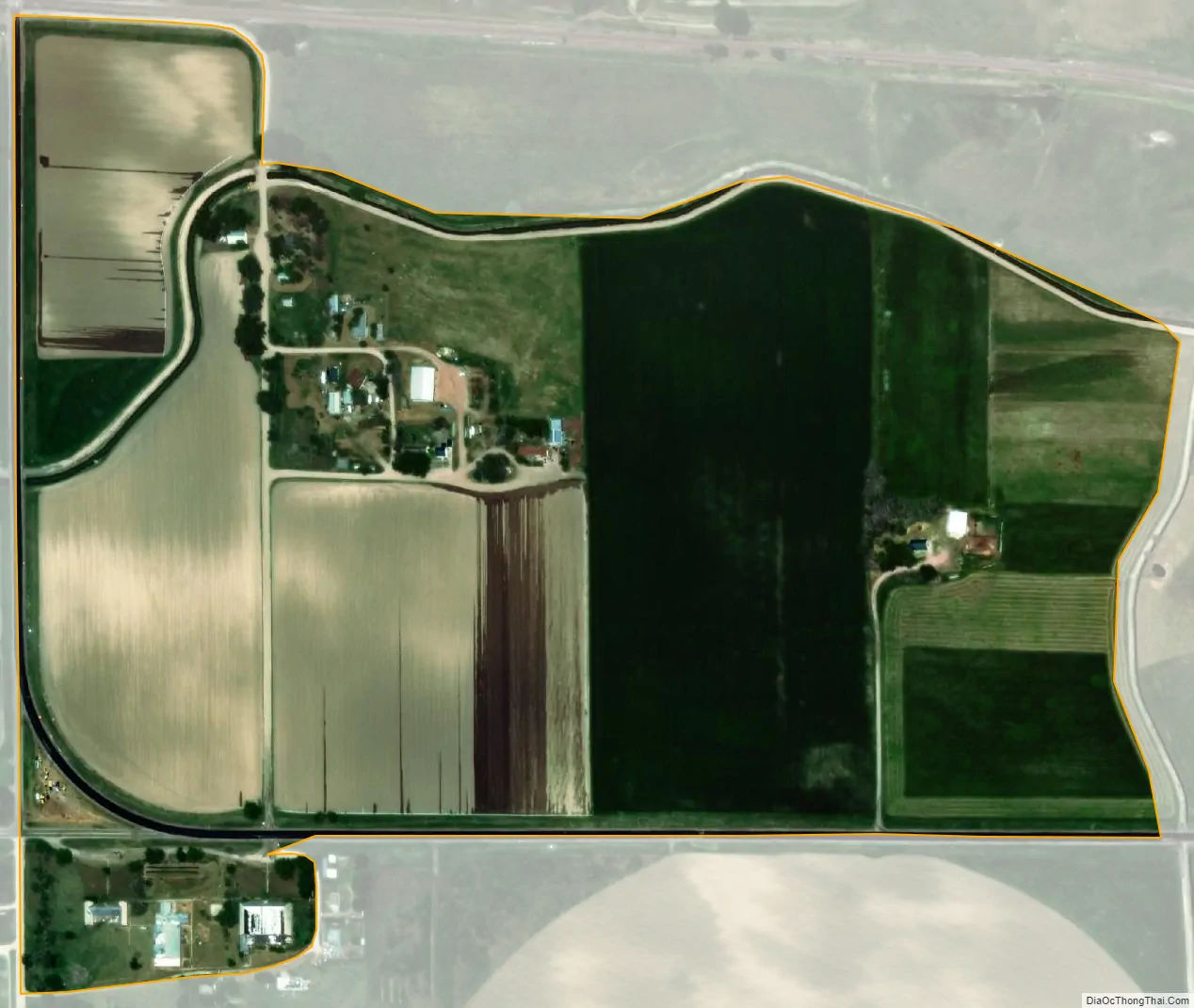
Huntley city Satellite Map
Geography
Huntley is located at 41°55′57″N 104°8′47″W / 41.93250°N 104.14639°W / 41.93250; -104.14639 (41.932626, -104.146380).
According to the United States Census Bureau, the CDP has a total area of 0.3 square mile (0.7 km), all land.
See also
Map of Wyoming State and its subdivision: Map of other states:- Alabama
- Alaska
- Arizona
- Arkansas
- California
- Colorado
- Connecticut
- Delaware
- District of Columbia
- Florida
- Georgia
- Hawaii
- Idaho
- Illinois
- Indiana
- Iowa
- Kansas
- Kentucky
- Louisiana
- Maine
- Maryland
- Massachusetts
- Michigan
- Minnesota
- Mississippi
- Missouri
- Montana
- Nebraska
- Nevada
- New Hampshire
- New Jersey
- New Mexico
- New York
- North Carolina
- North Dakota
- Ohio
- Oklahoma
- Oregon
- Pennsylvania
- Rhode Island
- South Carolina
- South Dakota
- Tennessee
- Texas
- Utah
- Vermont
- Virginia
- Washington
- West Virginia
- Wisconsin
- Wyoming