La Barge is a town in Lincoln County, Wyoming, United States. The population was 551 at the 2010 census. It is approximately 20 miles from Big Piney. The area around La Barge is rich in oil fields, and the town has one bar and four churches.
| Name: | La Barge town |
|---|---|
| LSAD Code: | 43 |
| LSAD Description: | town (suffix) |
| State: | Wyoming |
| County: | Lincoln County |
| Elevation: | 6,594 ft (2,010 m) |
| Total Area: | 1.00 sq mi (2.58 km²) |
| Land Area: | 0.97 sq mi (2.51 km²) |
| Water Area: | 0.03 sq mi (0.07 km²) |
| Total Population: | 551 |
| Population Density: | 585.99/sq mi (226.34/km²) |
| ZIP code: | 83123 |
| Area code: | 307 |
| FIPS code: | 5643455 |
| GNISfeature ID: | 1590442 |
| Website: | www.townoflabarge.org |
Online Interactive Map
Click on ![]() to view map in "full screen" mode.
to view map in "full screen" mode.
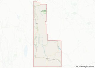
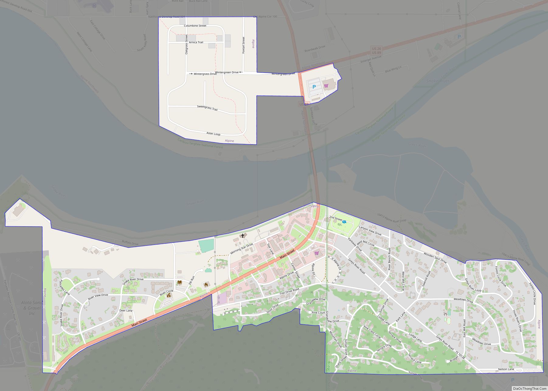
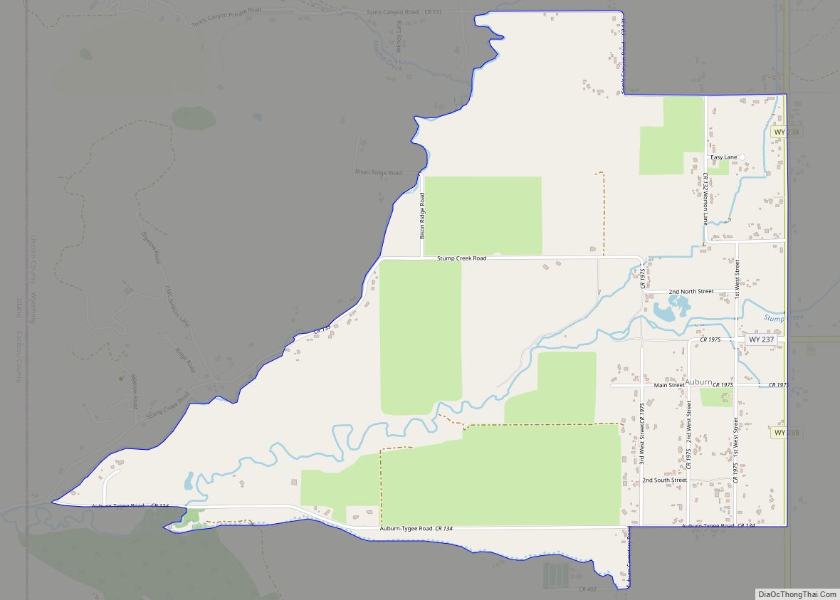
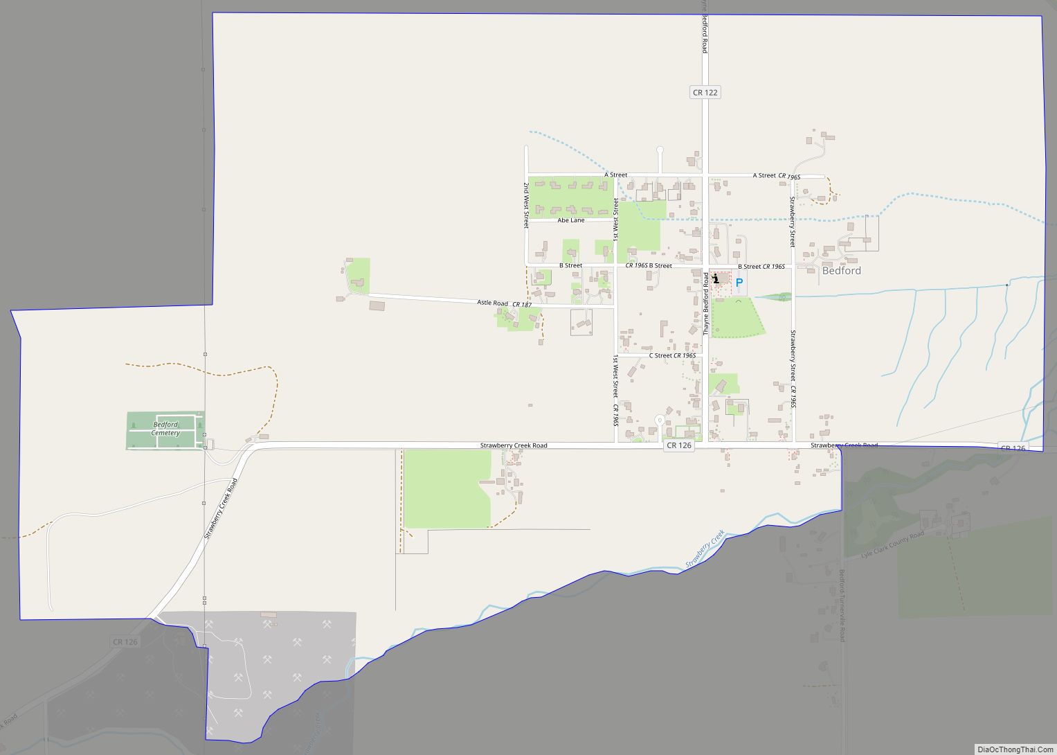
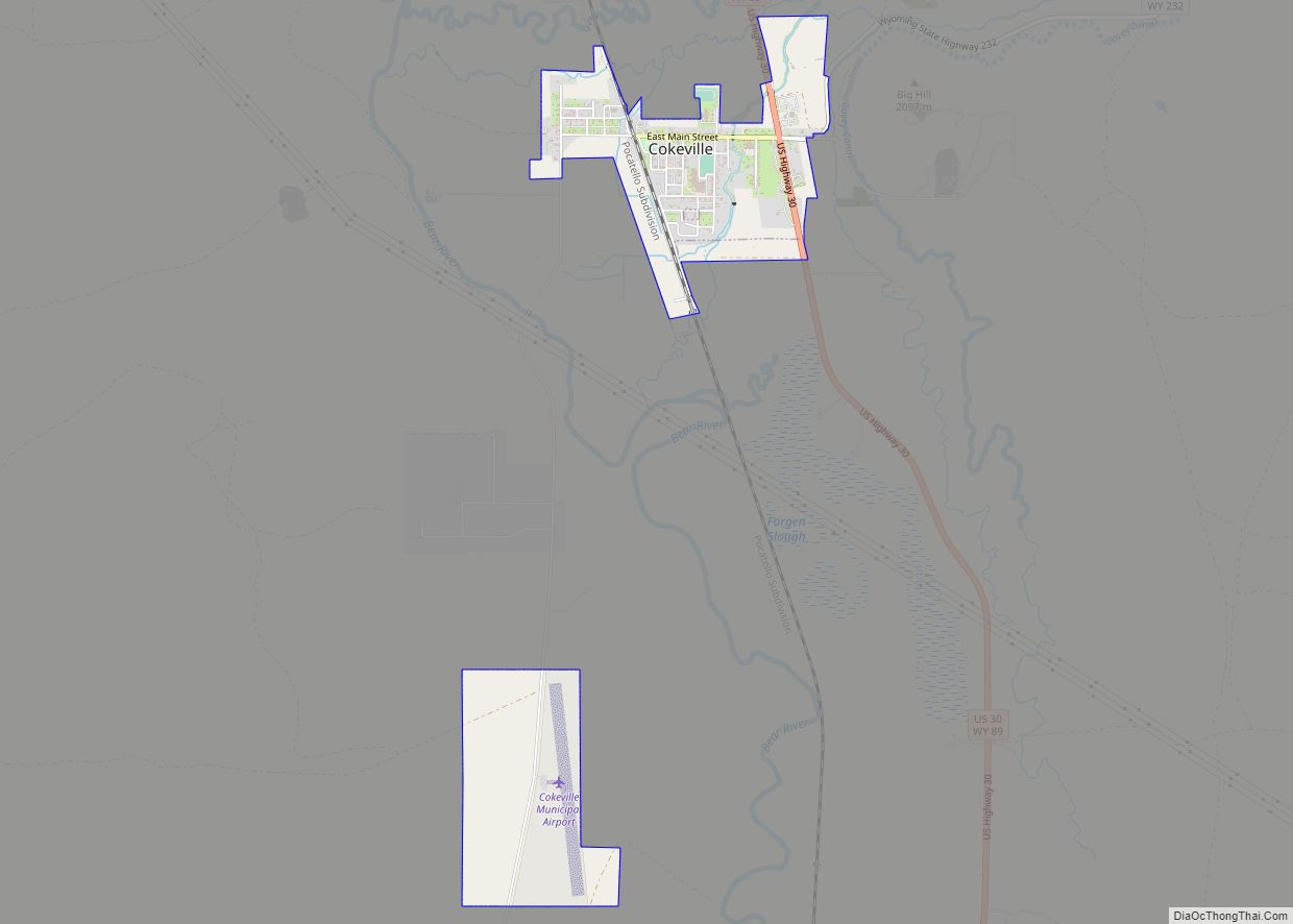
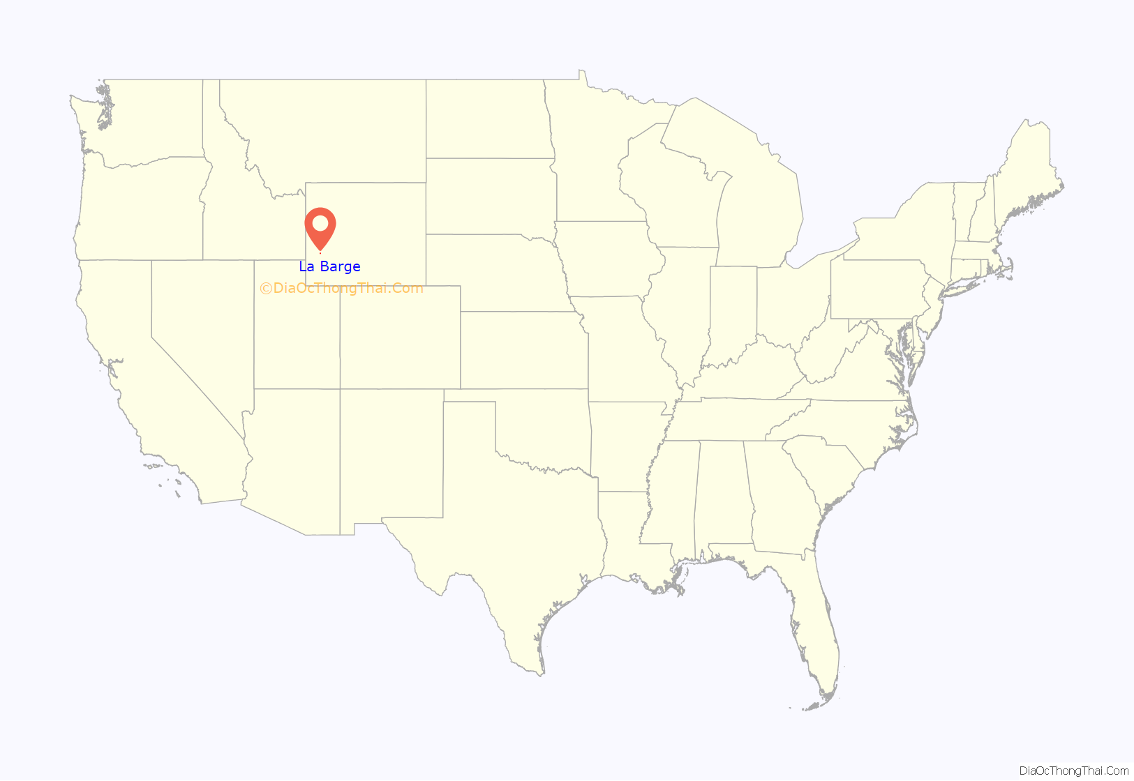
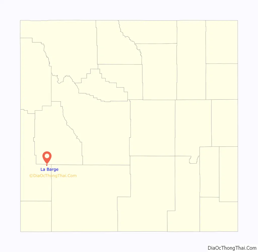
La Barge location map. Where is La Barge town?
History
The town is named for Joseph Marie La Barge, Senior a French-Canadian voyageur turned fur trapper, mountain man, and steamboat operator, and father of the famed riverboat captain Joseph LaBarge. He was born in L’Assomption, Quebec, on 4 July 1787, and came to the U.S. in 1808 canoeing to St. Louis, Missouri, where he met and married a woman of Spanish and French descent, Eulalie Becquette Alvarez-Hortiz. His trapping days began at Cabanne’s Trading Post in Nebraska Territory, and continued throughout the West during the 1830s and 1840s after his children were born.
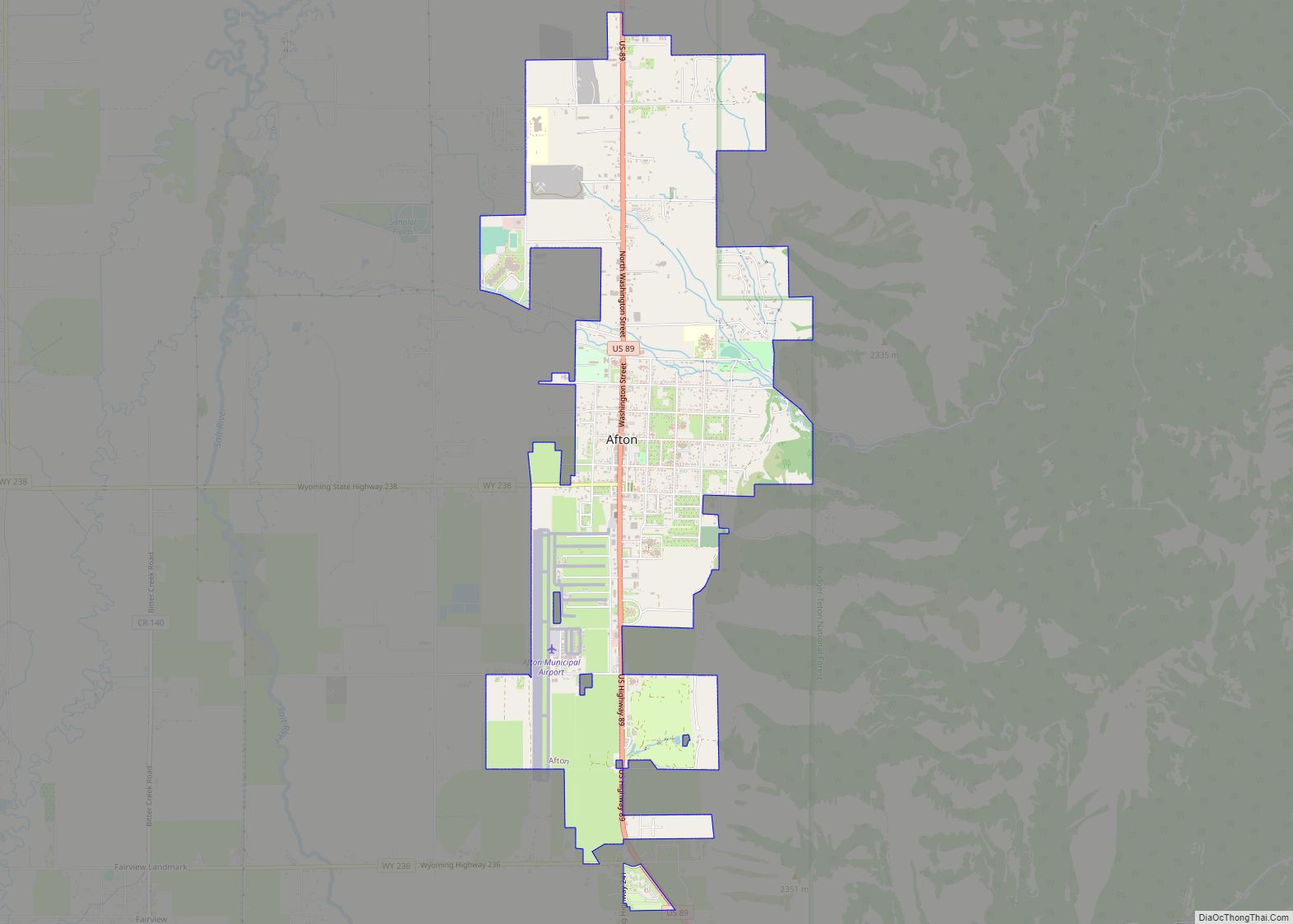
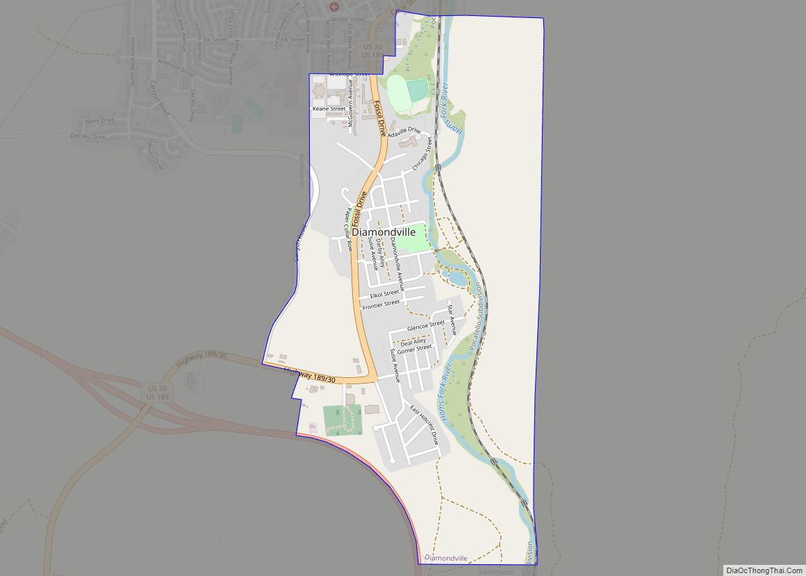
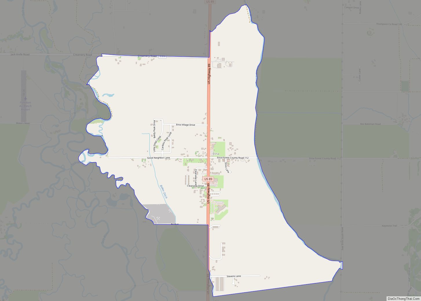
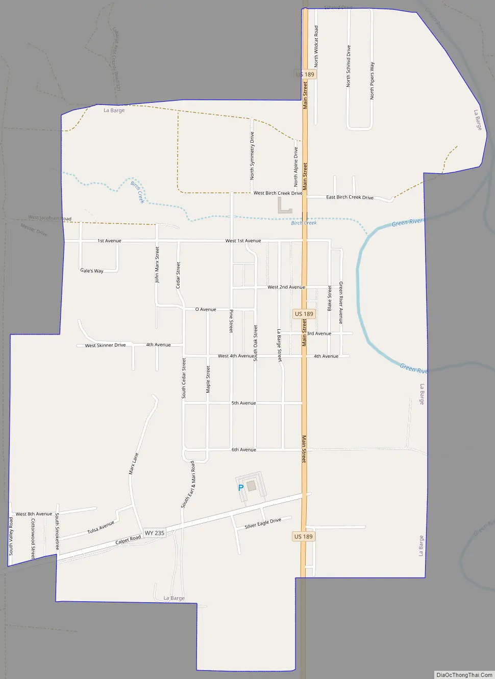
La Barge Road Map
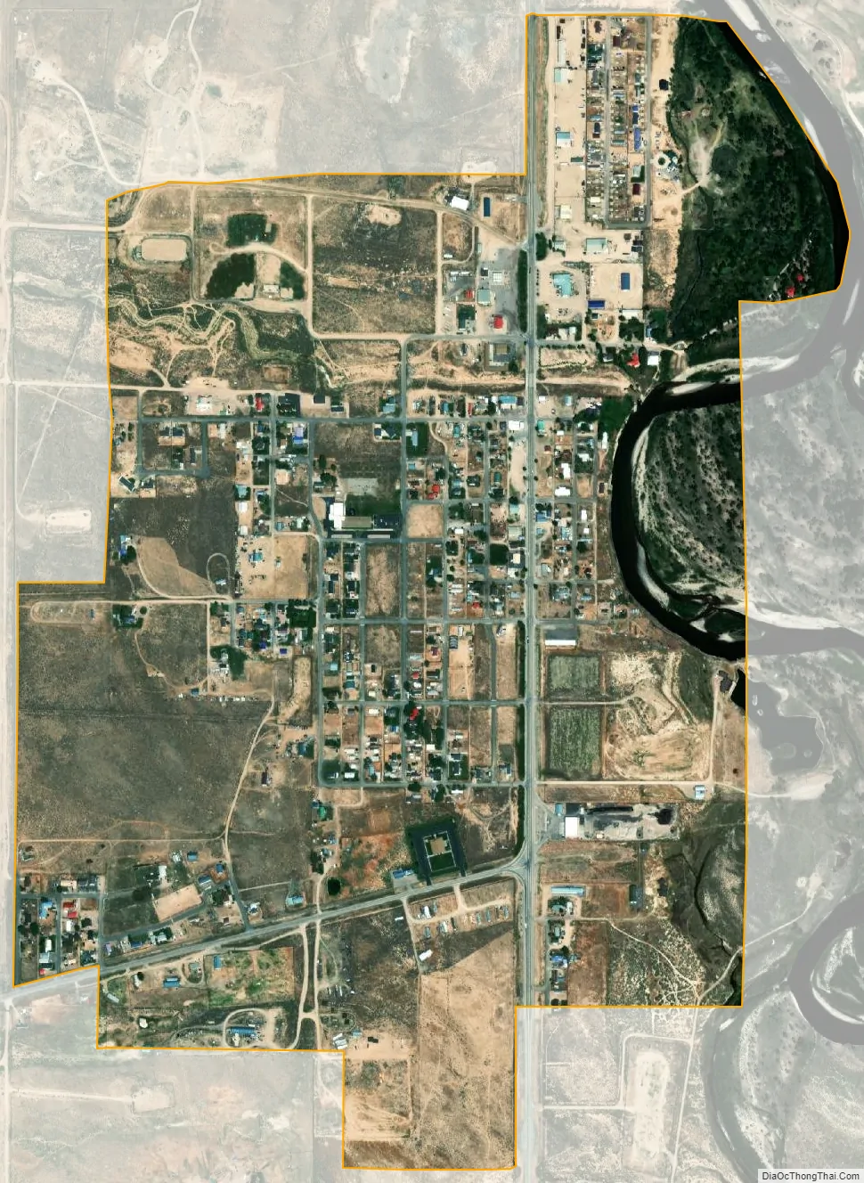
La Barge city Satellite Map
Geography
La Barge is located at 42°15′40″N 110°11′49″W / 42.26111°N 110.19694°W / 42.26111; -110.19694 (42.261139, -110.196974).
According to the United States Census Bureau, the town has a total area of 1.00 square mile (2.59 km), of which 0.97 square miles (2.51 km) is land and 0.03 square miles (0.08 km) is water.
See also
Map of Wyoming State and its subdivision: Map of other states:- Alabama
- Alaska
- Arizona
- Arkansas
- California
- Colorado
- Connecticut
- Delaware
- District of Columbia
- Florida
- Georgia
- Hawaii
- Idaho
- Illinois
- Indiana
- Iowa
- Kansas
- Kentucky
- Louisiana
- Maine
- Maryland
- Massachusetts
- Michigan
- Minnesota
- Mississippi
- Missouri
- Montana
- Nebraska
- Nevada
- New Hampshire
- New Jersey
- New Mexico
- New York
- North Carolina
- North Dakota
- Ohio
- Oklahoma
- Oregon
- Pennsylvania
- Rhode Island
- South Carolina
- South Dakota
- Tennessee
- Texas
- Utah
- Vermont
- Virginia
- Washington
- West Virginia
- Wisconsin
- Wyoming