Osmond is a census-designated place (CDP) in Lincoln County, Wyoming, United States. The population was 397 at the 2010 census.
| Name: | Osmond CDP |
|---|---|
| LSAD Code: | 57 |
| LSAD Description: | CDP (suffix) |
| State: | Wyoming |
| County: | Lincoln County |
| Elevation: | 6,329 ft (1,929 m) |
| Total Area: | 3.2 sq mi (8.4 km²) |
| Land Area: | 3.2 sq mi (8.4 km²) |
| Water Area: | 0.0 sq mi (0.0 km²) |
| Total Population: | 397 |
| Population Density: | 120/sq mi (47/km²) |
| ZIP code: | 83110 |
| Area code: | 307 |
| FIPS code: | 5658970 |
Online Interactive Map
Click on ![]() to view map in "full screen" mode.
to view map in "full screen" mode.
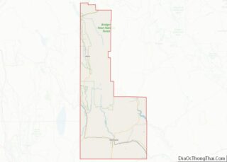
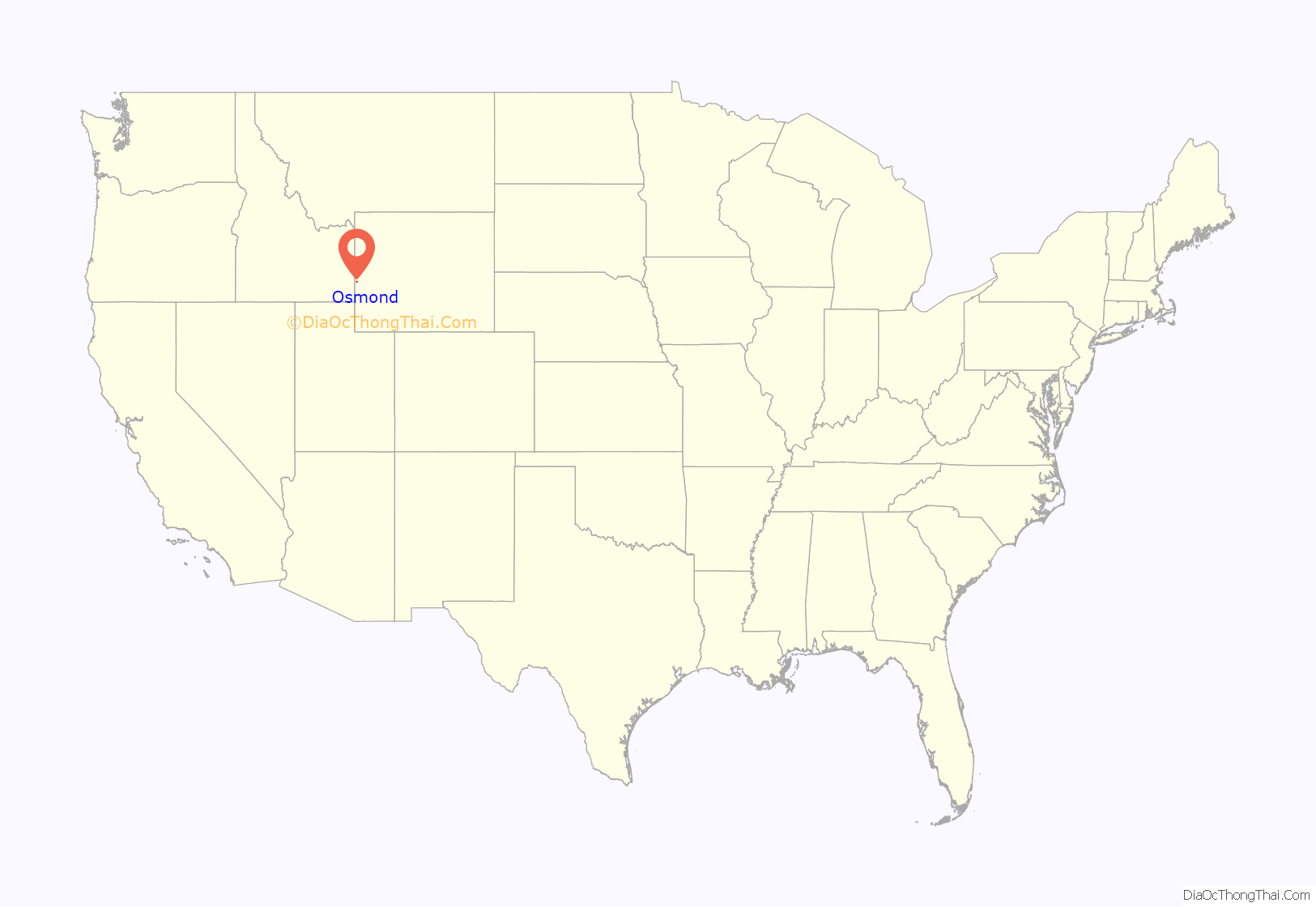
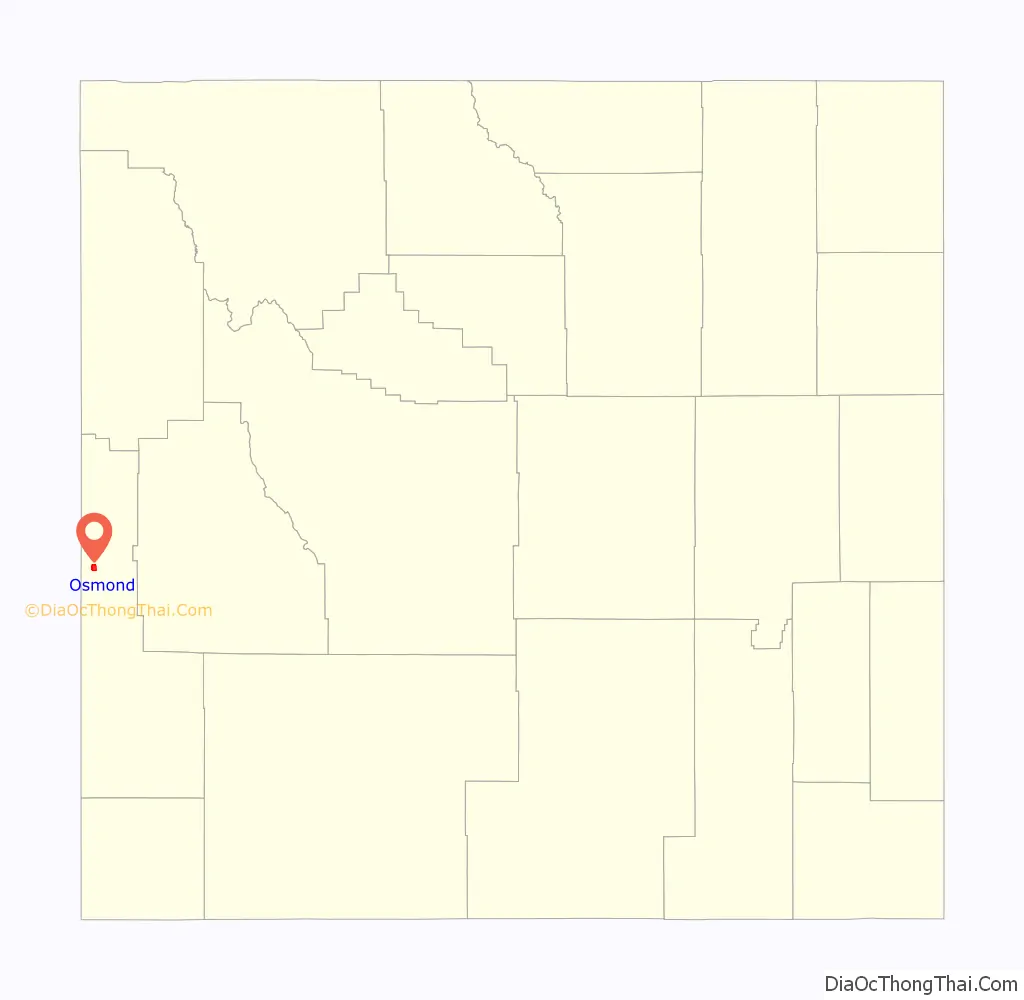
Osmond location map. Where is Osmond CDP?
History
According to entertainer Marie Osmond, her paternal great-great-grandfather founded Osmond, Wyoming.
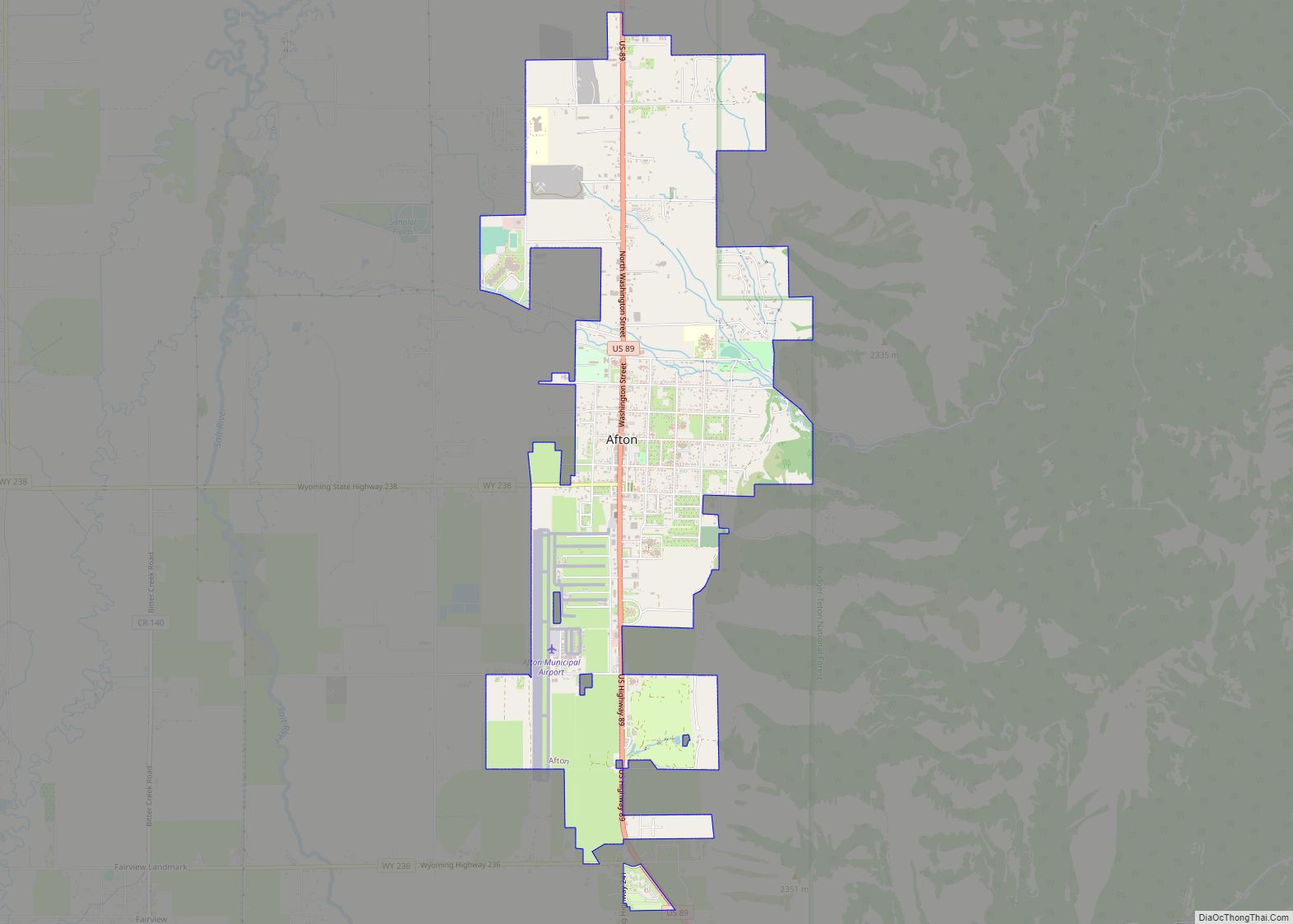
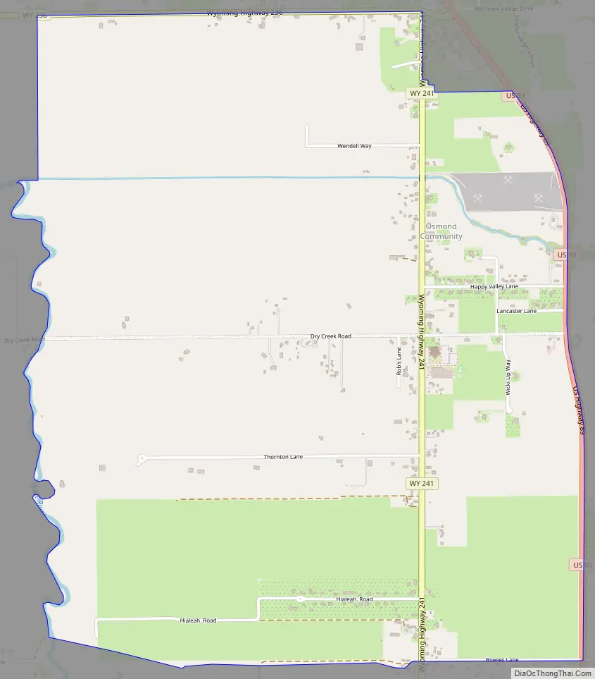
Osmond Road Map
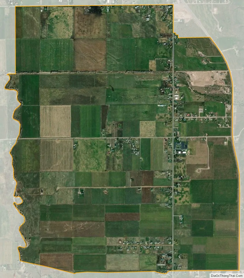
Osmond city Satellite Map
Geography
Osmond is located at 42°40′41″N 110°55′59″W / 42.67806°N 110.93306°W / 42.67806; -110.93306, in Star Valley on Wyoming Highway 241, 3 miles (5 km) south of the town of Afton. Highway 236 forms the northern edge of the community, and U.S. Route 89 forms the eastern edge. Osmond is 3 miles (5 km) east of the community of Fairview.
According to the United States Census Bureau, the CDP has a total area of 3.2 square miles (8.4 km), all land.
See also
Map of Wyoming State and its subdivision: Map of other states:- Alabama
- Alaska
- Arizona
- Arkansas
- California
- Colorado
- Connecticut
- Delaware
- District of Columbia
- Florida
- Georgia
- Hawaii
- Idaho
- Illinois
- Indiana
- Iowa
- Kansas
- Kentucky
- Louisiana
- Maine
- Maryland
- Massachusetts
- Michigan
- Minnesota
- Mississippi
- Missouri
- Montana
- Nebraska
- Nevada
- New Hampshire
- New Jersey
- New Mexico
- New York
- North Carolina
- North Dakota
- Ohio
- Oklahoma
- Oregon
- Pennsylvania
- Rhode Island
- South Carolina
- South Dakota
- Tennessee
- Texas
- Utah
- Vermont
- Virginia
- Washington
- West Virginia
- Wisconsin
- Wyoming