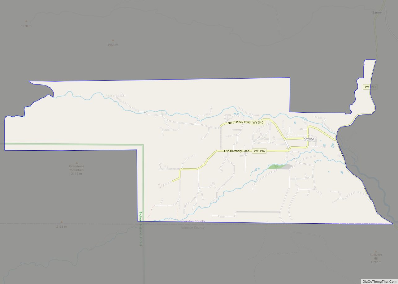
Story is a census-designated place (CDP) in Sheridan County, Wyoming, United States. As of the 2020 census, the CDP population was 903.
| Name: | Story CDP |
|---|---|
| LSAD Code: | 57 |
| LSAD Description: | CDP (suffix) |
| State: | Wyoming |
| County: | Sheridan County |
| Elevation: | 5,036 ft (1,535 m) |
| Total Area: | 7.1 sq mi (18 km²) |
| Land Area: | 7.1 sq mi (18 km²) |
| Water Area: | 0.0 sq mi (0 km²) |
| Total Population: | 903 |
| Population Density: | 130/sq mi (49/km²) |
| ZIP code: | 82842 |
| Area code: | 307 |
| FIPS code: | 5673615 |
| GNISfeature ID: | 1603389 |
Online Interactive Map
Click on ![]() to view map in "full screen" mode.
to view map in "full screen" mode.
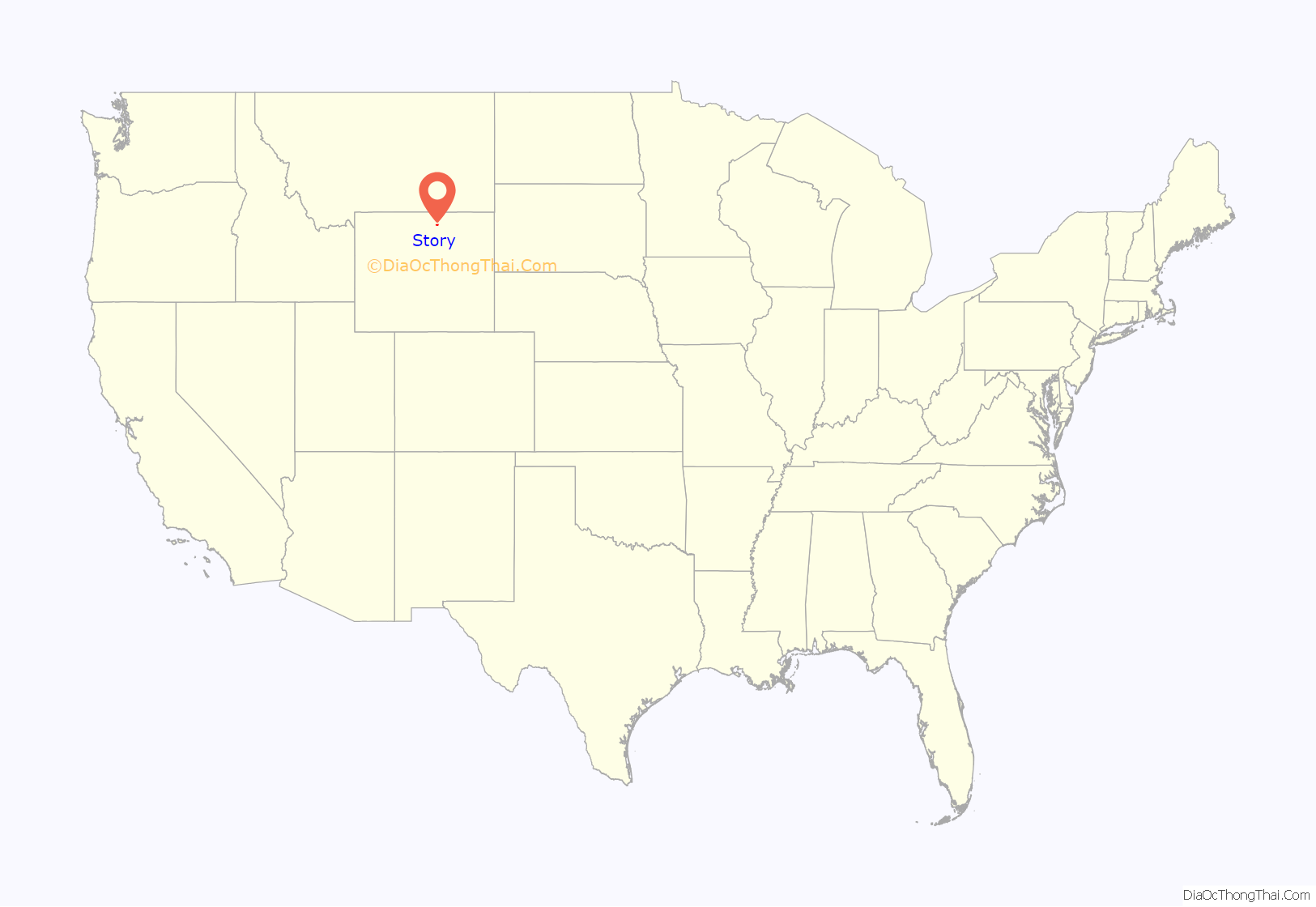
Story location map. Where is Story CDP?
History
The region around Story was part of the history of the American Frontier and the Old West, and of the conflicts between early settlers and the Plains Indians. The historic Bozeman Trail passed nearby in the mid-1860s, and Fort Phil Kearny, now a State Historic Site, lies just 5 miles south of town. Fort Sheridan was just to the north, near what is now the city of Sheridan.
Fort Phil Kearny, known to the Plains Indians as the “hated post on the Little Piney”, played an important role in Red Cloud’s War (1866-1868), and the area around the fort was the site of the Fetterman massacre and the Wagon Box Fight. The Fetterman Fight (with 81 men killed on the U.S. side) was the worst military defeat suffered by the U.S. Army on the Great Plains, until the Battle of the Little Bighorn ten years later.
The 1866 Fetterman Fight marked a key victory of the Lakota, Cheyenne, and Arapaho Indians over soldiers of the United States Army, and the 1867 Wagon Box Fight involved Lakota Sioux and soldiers from nearby Fort Phil Kearny. Fort Phil Kearny, including the nearby sites of the Fetterman engagement and the Wagon Box Fight, was designated a National Historic Landmark in 1960.
With the advent of the automobile in the early 1900s, the area around Story became, and has remained, a popular destination in Wyoming for tourists, Boy Scout troops and others for camping, fishing, and other outdoor recreational activities.
Story Road Map
Story city Satellite Map
Geography
Banner lies three miles to the northeast, and the Bighorn Mountains (and Bighorn National Forest) are to Story’s west. The town is accessible via U.S. Route 87 (cosigned with Wyoming Highway 193).
According to the United States Census Bureau, the census-designated place has a total area of 7.1 square miles (18.46 km), all land.
See also
Map of Wyoming State and its subdivision: Map of other states:- Alabama
- Alaska
- Arizona
- Arkansas
- California
- Colorado
- Connecticut
- Delaware
- District of Columbia
- Florida
- Georgia
- Hawaii
- Idaho
- Illinois
- Indiana
- Iowa
- Kansas
- Kentucky
- Louisiana
- Maine
- Maryland
- Massachusetts
- Michigan
- Minnesota
- Mississippi
- Missouri
- Montana
- Nebraska
- Nevada
- New Hampshire
- New Jersey
- New Mexico
- New York
- North Carolina
- North Dakota
- Ohio
- Oklahoma
- Oregon
- Pennsylvania
- Rhode Island
- South Carolina
- South Dakota
- Tennessee
- Texas
- Utah
- Vermont
- Virginia
- Washington
- West Virginia
- Wisconsin
- Wyoming
