Ionia County (/aɪˈoʊnjə/ eye-OH-nyə) is a county located in the U.S. state of Michigan. As of the 2020 census, the population was 66,804. The county seat is Ionia. The Ionia County Courthouse was designed by Claire Allen, a prominent southern Michigan architect.
Ionia County is part of the Grand Rapids-Kentwood metropolitan statistical area.
| Name: | Ionia County |
|---|---|
| FIPS code: | 26-067 |
| State: | Michigan |
| Founded: | 1831 |
| Named for: | Ionia |
| Seat: | Ionia |
| Largest city: | Ionia |
| Total Area: | 580 sq mi (1,500 km²) |
| Land Area: | 571 sq mi (1,480 km²) |
| Total Population: | 66,804 |
| Population Density: | 112/sq mi (43/km²) |
| Time zone: | UTC−5 (Eastern) |
| Summer Time Zone (DST): | UTC−4 (EDT) |
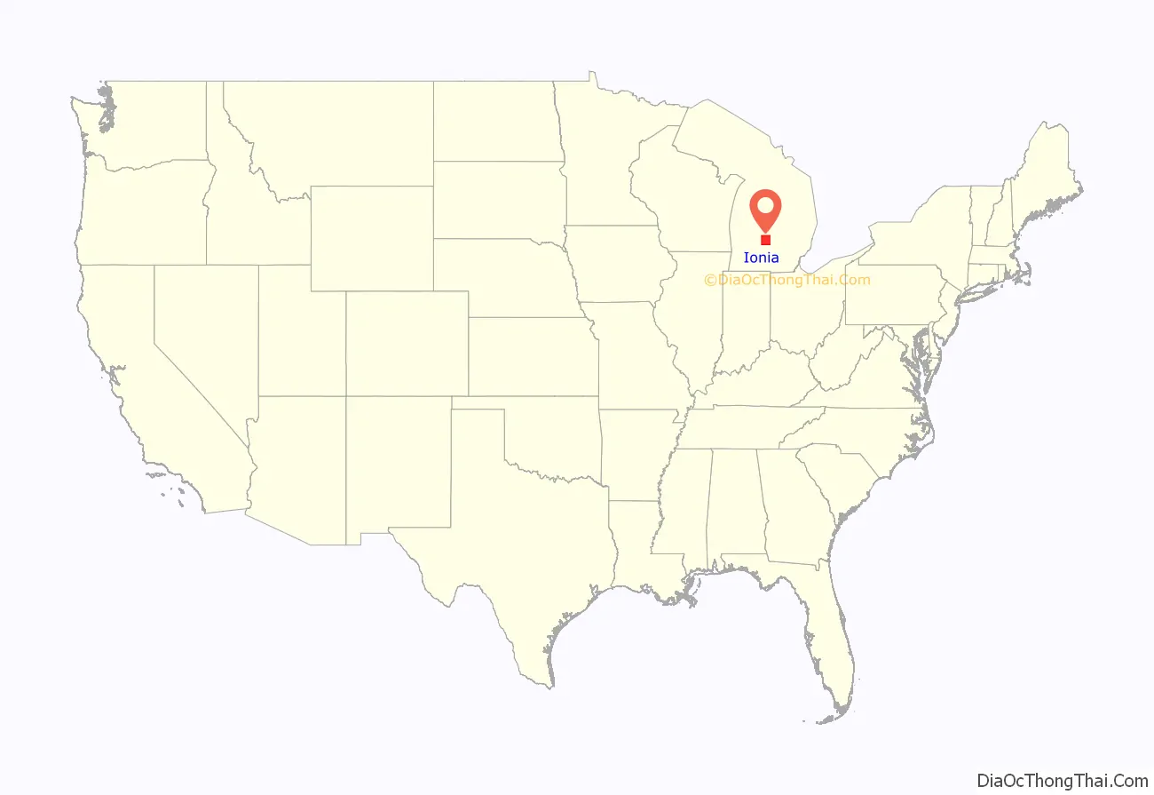
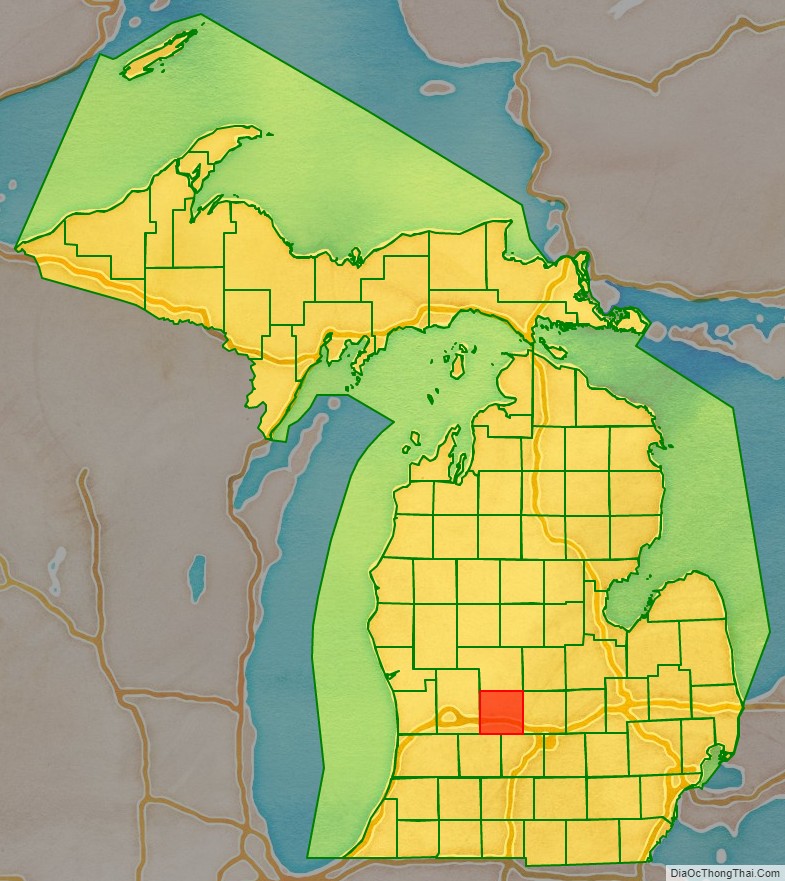
Ionia County location map. Where is Ionia County?
History
The county is named for Ionia, a historic area of Greece. It was defined by act of the Territorial Legislature in 1831, and was organized in 1837.
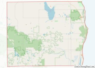
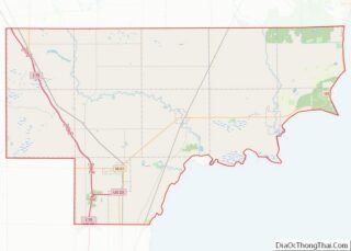
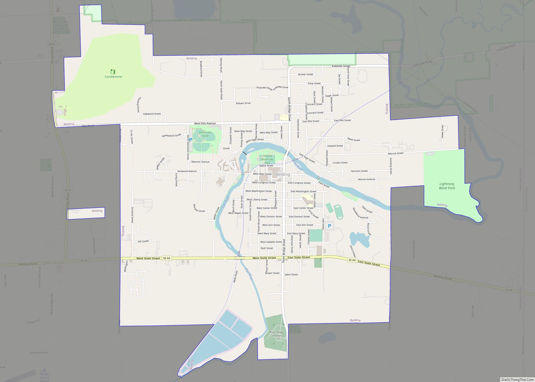
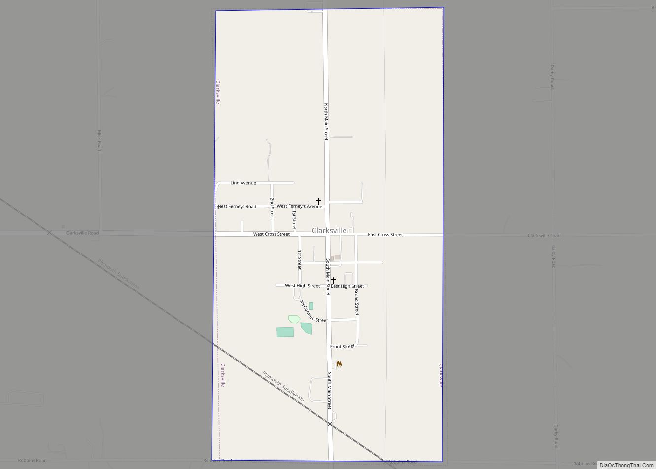
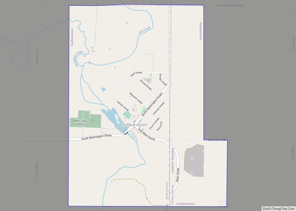
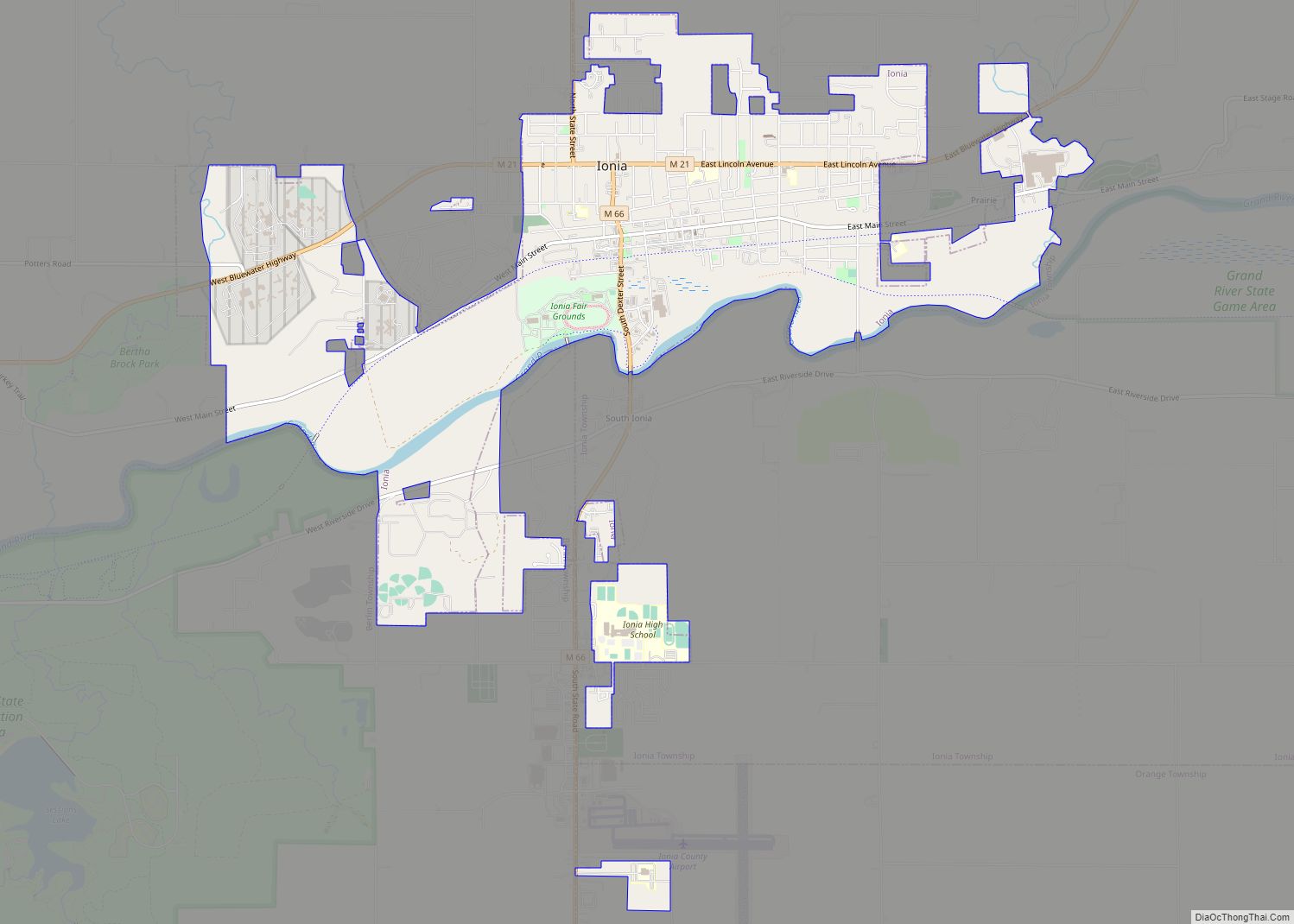
Ionia County Road Map
Geography
According to the US Census Bureau, the county has a total area of 580 square miles (1,500 km), of which 571 square miles (1,480 km) is land and 8.7 square miles (23 km) (1.5%) is water.
Adjacent counties
- Gratiot County – northeast
- Montcalm County – north
- Clinton County – east
- Kent County – west
- Eaton County – southeast
- Barry County – southwest
Major highways
- I-96 is an east–west freeway running through the heart of Ionia County. The freeway can be used to access Grand Rapids, to the west, and Lansing and Detroit, to the east.
- M-21 is an east–west highway that runs north of I-96. The highway runs through the city of Ionia.
- M-44 is an east–west highway that runs in the northwest of Ionia County, including access to Belding.
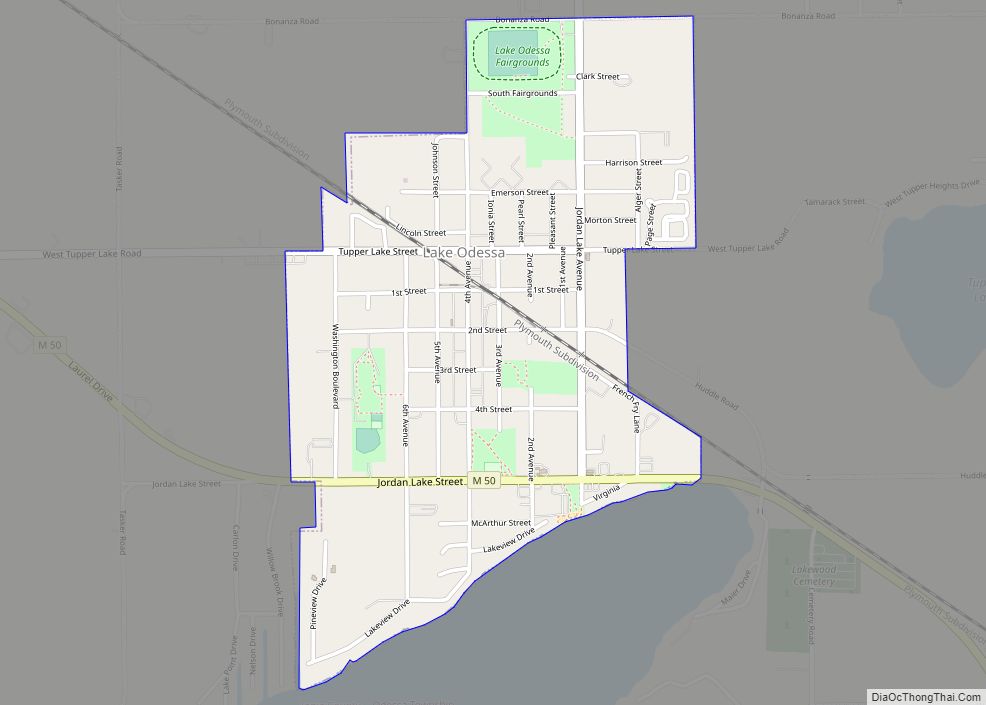
- M-50 is a highway in the southwest of Ionia County, following a largely east–west route. The highway runs through Lake Odessa.
- M-66 is the primary north–south thoroughfare in Ionia County. Running through the center of the county, the highway also passes through downtown Ionia. M-66 is one of Michigan’s longest state trunkline highways, running from the Indiana border near Sturgis to Charlevoix, on Lake Michigan.
- M-91 is a highway in the northwest of Ionia County, beginning at M-44 near Belding and running north toward Greenville.
- US 16 is a former US Route that travelled east–west in Ionia County, along what is today known as Grand River Avenue. The highway was replaced by I-96 in 1962.
