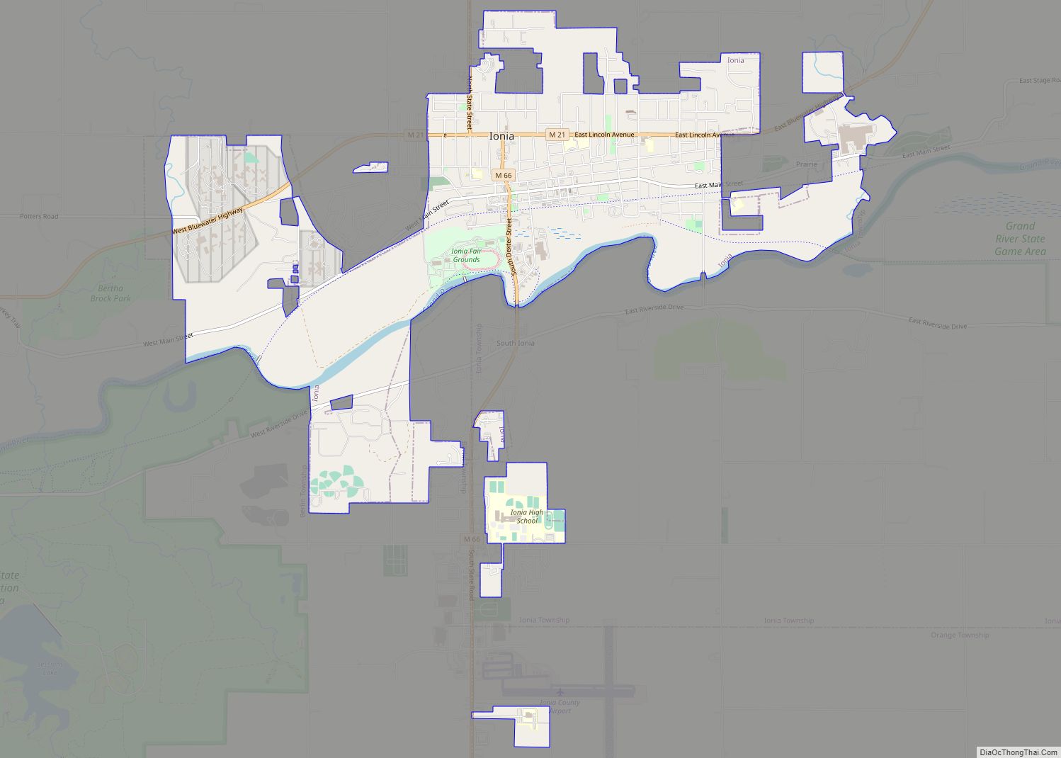
Ionia (/aɪˈoʊnjə/ eye-OH-nyə) is the largest city in, and the county seat of, Ionia County, Michigan, United States. The population was 13,378 at the 2020 census. Every July it hosts what is said to be the world’s largest free-admission fair. The city is mostly within Ionia Township, with small portion extending into Easton Township and Berlin Township, but is politically autonomous of the townships. The city is named after Ionia, a historic region in Greece.
| Name: | Ionia city |
|---|---|
| LSAD Code: | 25 |
| LSAD Description: | city (suffix) |
| State: | Michigan |
| County: | Ionia County |
| Elevation: | 637 ft (194 m) |
| Total Area: | 5.54 sq mi (14.36 km²) |
| Land Area: | 5.41 sq mi (14.02 km²) |
| Water Area: | 0.13 sq mi (0.34 km²) |
| Total Population: | 13,378 |
| Population Density: | 2,472.37/sq mi (954.51/km²) |
| ZIP code: | 48846 |
| Area code: | 616 |
| FIPS code: | 2640860 |
| GNISfeature ID: | 1626521 |
| Website: | http://www.ci.ionia.mi.us/ |
Online Interactive Map
Click on ![]() to view map in "full screen" mode.
to view map in "full screen" mode.
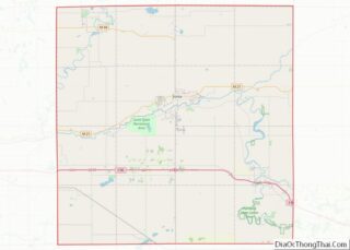
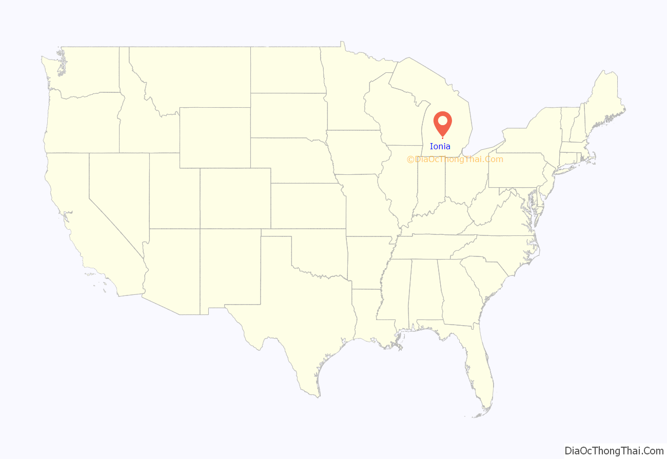
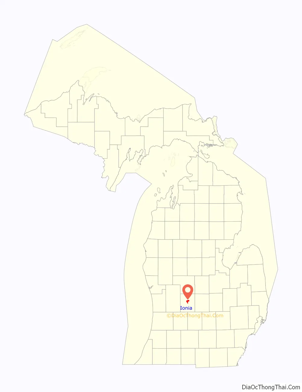
Ionia location map. Where is Ionia city?
History
Before Euro-American migration, this was the location of an Odawa village. The leader of the Odawa here was Cobmoosa. His people planted crops here in 1833 but when Dexter and his associates arrived, they sold these crops to Dexter and relocated to the Flat River. In the 1850s, they were relocated to Oceana County.
- First Euro-American settlers in 1833 by settlers from New York led by Samuel Dexter Jr.
- Platted in 1841
- Incorporated as a village in 1865
- Organized into a city in 1873
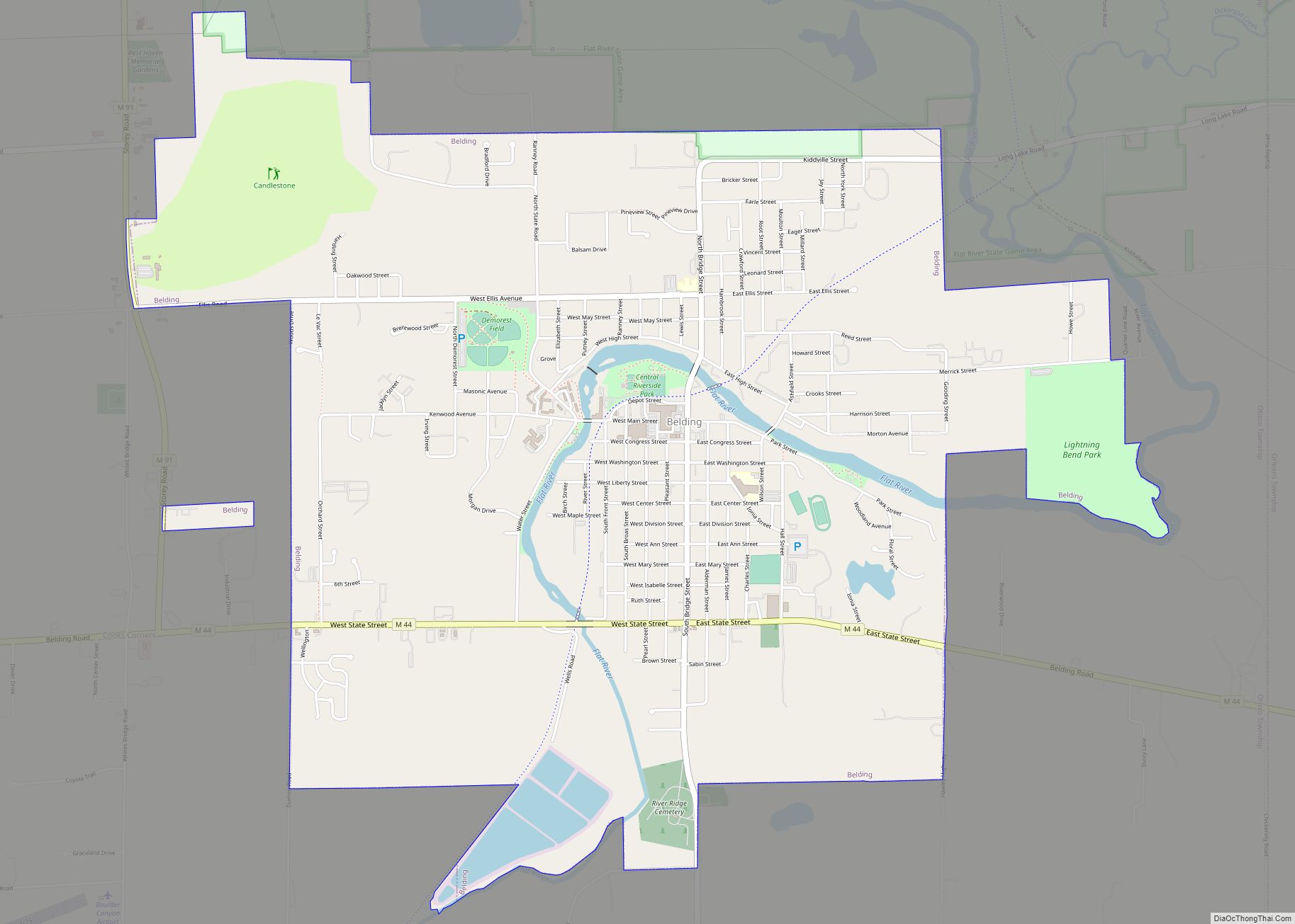
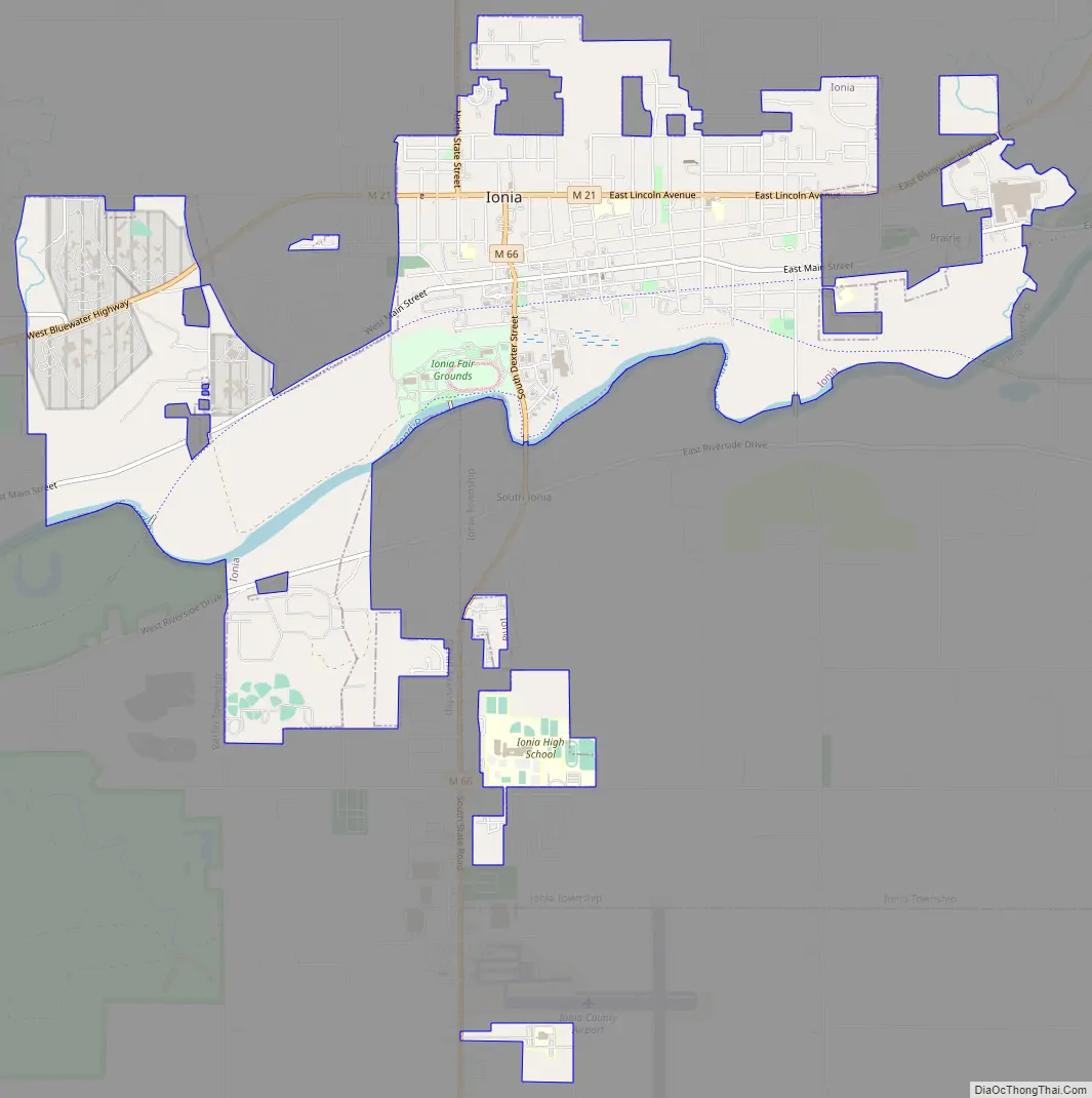
Ionia Road Map
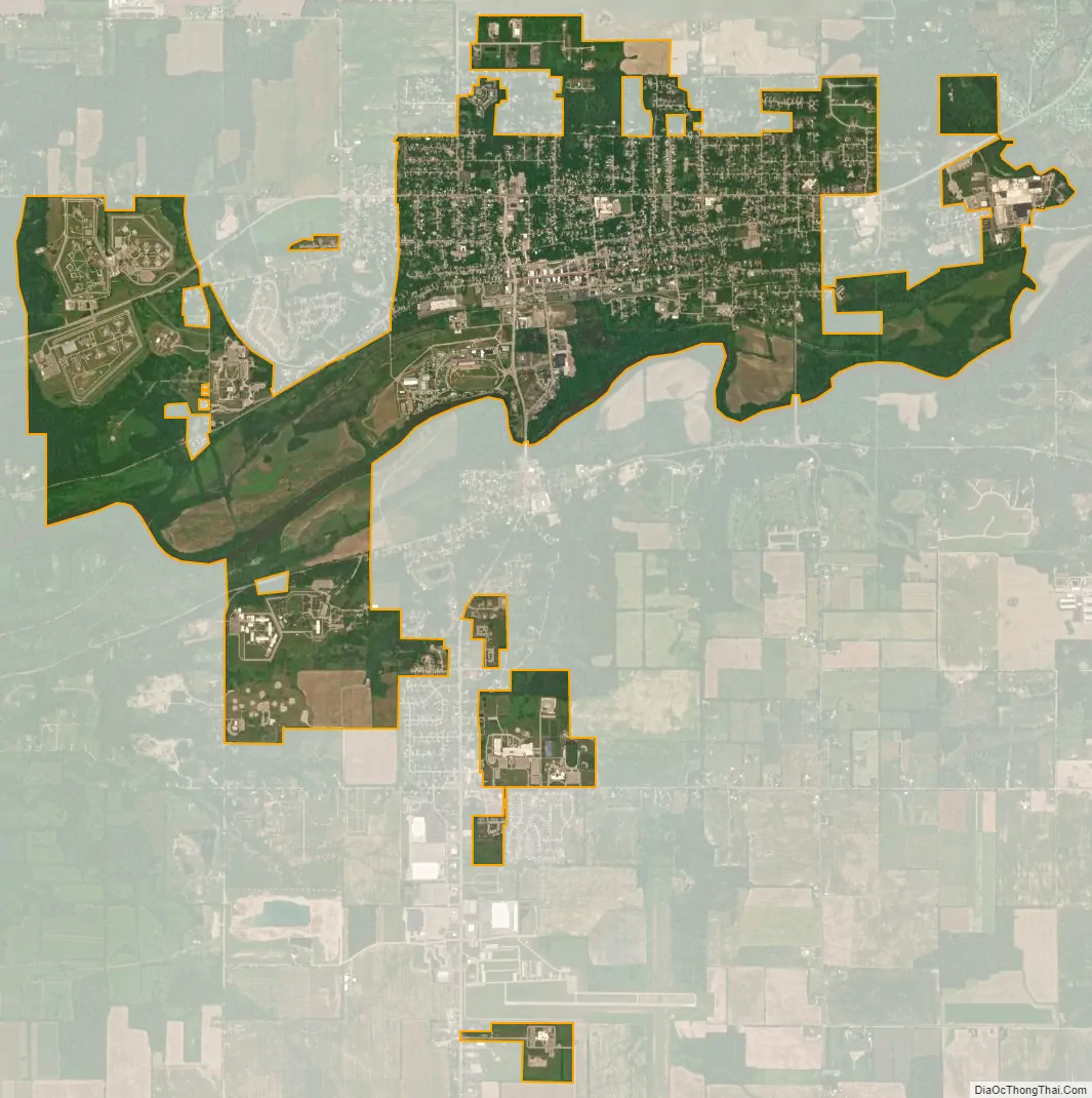
Ionia city Satellite Map
Geography
According to the United States Census Bureau, the city has a total area of 5.48 square miles (14.19 km), of which 5.35 square miles (13.86 km) is land and 0.13 square miles (0.34 km) is water. Ionia is between Michigan’s capital, Lansing, and its second largest city, Grand Rapids.
Climate
This climatic region is typified by large seasonal temperature differences, with warm to hot (and often humid) summers and cold (sometimes severely cold) winters. This region is also prone to dense and heavy fog, along with flooding (sometimes very damaging) due to the Grand River that flows through the city, during the spring. According to the Köppen Climate Classification system, Ionia has a humid continental climate, abbreviated “Dfb” on climate maps.
See also
Map of Michigan State and its subdivision:- Alcona
- Alger
- Allegan
- Alpena
- Antrim
- Arenac
- Baraga
- Barry
- Bay
- Benzie
- Berrien
- Branch
- Calhoun
- Cass
- Charlevoix
- Cheboygan
- Chippewa
- Clare
- Clinton
- Crawford
- Delta
- Dickinson
- Eaton
- Emmet
- Genesee
- Gladwin
- Gogebic
- Grand Traverse
- Gratiot
- Hillsdale
- Houghton
- Huron
- Ingham
- Ionia
- Iosco
- Iron
- Isabella
- Jackson
- Kalamazoo
- Kalkaska
- Kent
- Keweenaw
- Lake
- Lake Hurron
- Lake Michigan
- Lake St. Clair
- Lake Superior
- Lapeer
- Leelanau
- Lenawee
- Livingston
- Luce
- Mackinac
- Macomb
- Manistee
- Marquette
- Mason
- Mecosta
- Menominee
- Midland
- Missaukee
- Monroe
- Montcalm
- Montmorency
- Muskegon
- Newaygo
- Oakland
- Oceana
- Ogemaw
- Ontonagon
- Osceola
- Oscoda
- Otsego
- Ottawa
- Presque Isle
- Roscommon
- Saginaw
- Saint Clair
- Saint Joseph
- Sanilac
- Schoolcraft
- Shiawassee
- Tuscola
- Van Buren
- Washtenaw
- Wayne
- Wexford
- Alabama
- Alaska
- Arizona
- Arkansas
- California
- Colorado
- Connecticut
- Delaware
- District of Columbia
- Florida
- Georgia
- Hawaii
- Idaho
- Illinois
- Indiana
- Iowa
- Kansas
- Kentucky
- Louisiana
- Maine
- Maryland
- Massachusetts
- Michigan
- Minnesota
- Mississippi
- Missouri
- Montana
- Nebraska
- Nevada
- New Hampshire
- New Jersey
- New Mexico
- New York
- North Carolina
- North Dakota
- Ohio
- Oklahoma
- Oregon
- Pennsylvania
- Rhode Island
- South Carolina
- South Dakota
- Tennessee
- Texas
- Utah
- Vermont
- Virginia
- Washington
- West Virginia
- Wisconsin
- Wyoming