Greenville is a city in Montcalm County of the U.S. state of Michigan. The population was 8,816 at the 2020 census.
| Name: | Greenville city |
|---|---|
| LSAD Code: | 25 |
| LSAD Description: | city (suffix) |
| State: | Michigan |
| County: | Montcalm County |
| Founded: | 1844 |
| Incorporated: | 1867 (village) 1871 (city) |
| Elevation: | 840 ft (260 m) |
| Total Area: | 6.65 sq mi (17.23 km²) |
| Land Area: | 6.34 sq mi (16.43 km²) |
| Water Area: | 0.31 sq mi (0.80 km²) |
| Total Population: | 8,816 |
| Population Density: | 1,389.88/sq mi (536.67/km²) |
| ZIP code: | 48838 |
| Area code: | 616 |
| FIPS code: | 2635100 |
| GNISfeature ID: | 1626401 |
| Website: | http://www.greenvillemi.org |
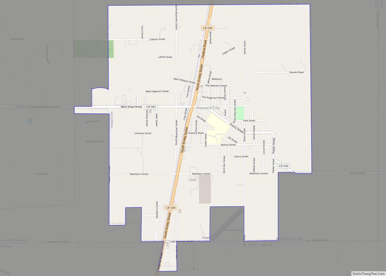
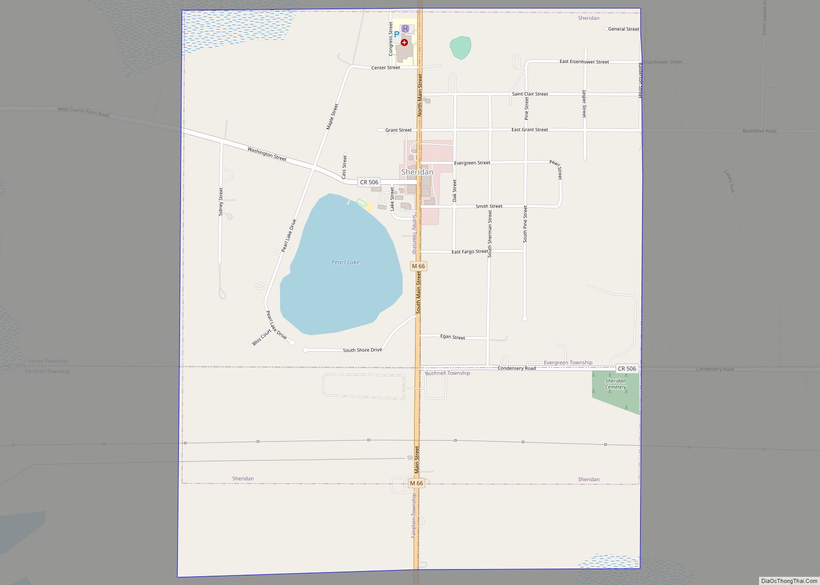
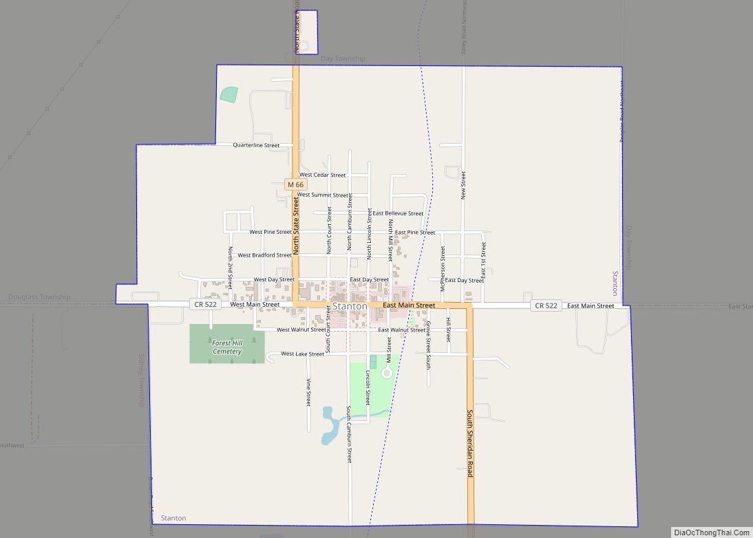
Online Interactive Map
Click on ![]() to view map in "full screen" mode.
to view map in "full screen" mode.
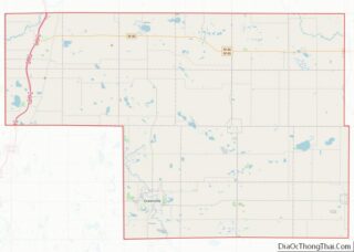
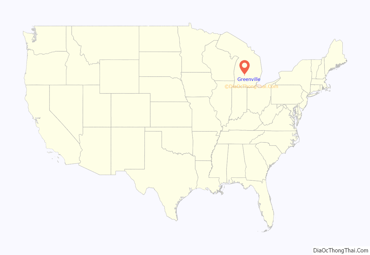
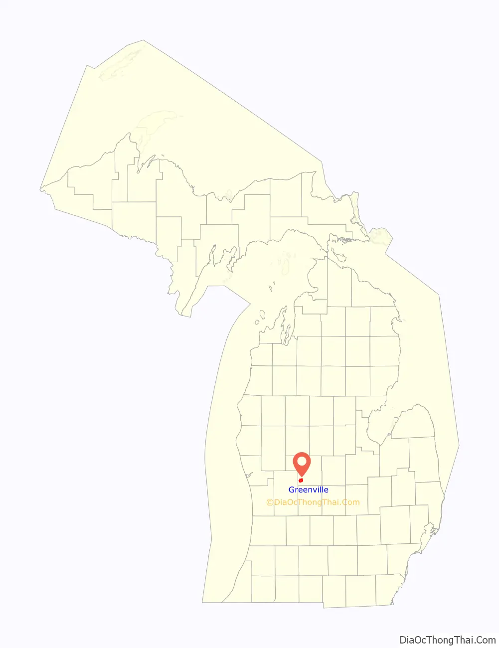
Greenville location map. Where is Greenville city?
History
Greenville is named after its founder, John Green, who settled in the wilderness of the southwest part of Montcalm County in 1844. John Green constructed a sawmill on the Flat River that is credited for attracting other settlers. The newly formed Green’s Village attracted many people of Danish origin who followed another early Danish settler’s positive letters home regarding the area. Because of the town’s heritage, Greenville celebrates the Danish Festival every year on the third weekend of August. A post office was established on January 20, 1848, with Abel French as the first postmaster. John Green had the village platted in 1853 and it was a station on the Detroit, Grand Rapids and Western Railroad. Greenville incorporated as a village in 1867 and as a city in 1871.
Hendrik Meijer, founder of Meijer’s stores, moved to Greenville after immigrating to the USA from the Netherlands. He was initially a barber, but the Great Depression and lack of a proper grocery on his side of town led him to open his own store in 1934. Meijer corporation now operates stores throughout the Midwest. Hendrik’s son Fred Meijer, principal architect of the modern Meijer chain, is a native son.
Greenville is also home to the Fighting Falcon, the lead plane of a wave of gliders during Operation Overlord. The Falcon was purchased with funds raised by the school children of the town, and was designated the lead aircraft in recognition of this achievement.
Since the foundation of Ranney Refrigerator Co. in 1892, the town has been known as the “Refrigerator Capital of the World.” It has also been home to the Gibson, White Consolidated, Frigidaire, and until recently, the Electrolux refrigerator factory. Electrolux closed the Greenville facility in early 2006, as it was in the process of relocating the factory to Ciudad Juárez in Mexico. This move impacted 2,700 employees and their families.
The city was to become the epicenter of “green” technology with the addition of solar panel manufacturer United Solar Ovonic; however, that enterprise filed for bankruptcy. It is also home to the new manufacturing and design center of Northland Marvel, an undercounter refrigeration company that just became a part of the UK-based AgaRangemaster group.
Lafayette Street, the downtown district, was placed on the National and State Register of Historic Sites in November 2008.
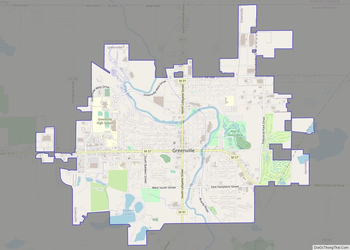
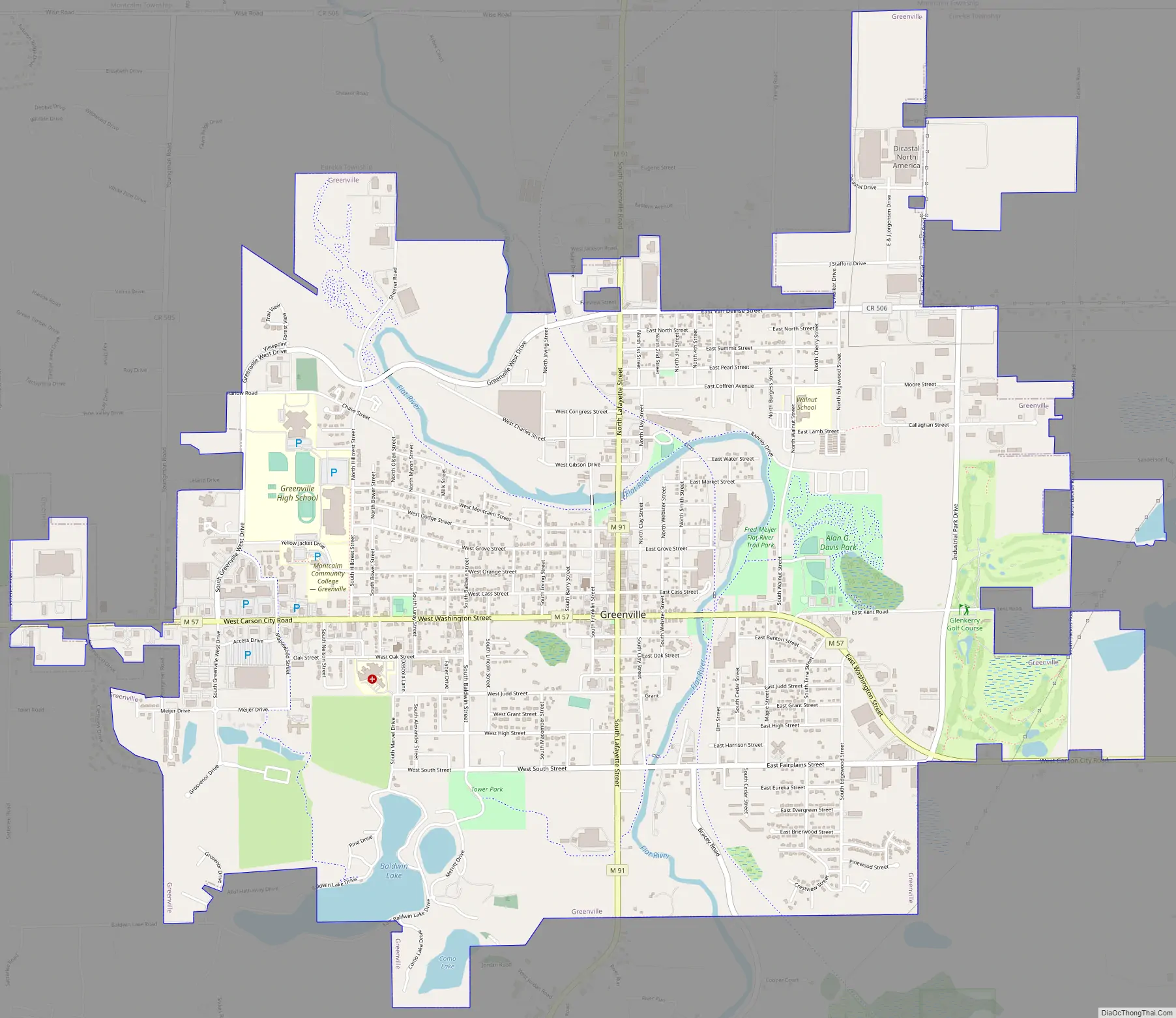
Greenville Road Map
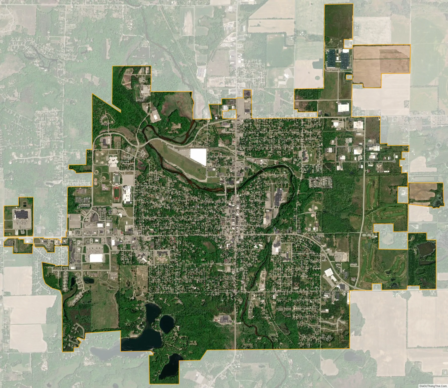
Greenville city Satellite Map
Geography
According to the United States Census Bureau, the city has a total area of 6.67 square miles (17.28 km), of which 6.34 square miles (16.42 km) is land and 0.33 square miles (0.85 km) is water.
The Greenville post office, with ZIP code 48838, also serves all of Eureka Township, a large portion of Montcalm Township and a smaller area of Pine Township to the north, Fairplain Township to the east, a small area of Otisco Township in Ionia County to the south, and a large part of Oakfield Township to the west and a smaller part of Grattan Township to the southwest, both in Kent County.
Greenville contains three navigable lakes within its city limits, Baldwin, Manoka, and Como. It also contains many unnamed ponds, a peat bog, and seasonal wet lands.
See also
Map of Michigan State and its subdivision:- Alcona
- Alger
- Allegan
- Alpena
- Antrim
- Arenac
- Baraga
- Barry
- Bay
- Benzie
- Berrien
- Branch
- Calhoun
- Cass
- Charlevoix
- Cheboygan
- Chippewa
- Clare
- Clinton
- Crawford
- Delta
- Dickinson
- Eaton
- Emmet
- Genesee
- Gladwin
- Gogebic
- Grand Traverse
- Gratiot
- Hillsdale
- Houghton
- Huron
- Ingham
- Ionia
- Iosco
- Iron
- Isabella
- Jackson
- Kalamazoo
- Kalkaska
- Kent
- Keweenaw
- Lake
- Lake Hurron
- Lake Michigan
- Lake St. Clair
- Lake Superior
- Lapeer
- Leelanau
- Lenawee
- Livingston
- Luce
- Mackinac
- Macomb
- Manistee
- Marquette
- Mason
- Mecosta
- Menominee
- Midland
- Missaukee
- Monroe
- Montcalm
- Montmorency
- Muskegon
- Newaygo
- Oakland
- Oceana
- Ogemaw
- Ontonagon
- Osceola
- Oscoda
- Otsego
- Ottawa
- Presque Isle
- Roscommon
- Saginaw
- Saint Clair
- Saint Joseph
- Sanilac
- Schoolcraft
- Shiawassee
- Tuscola
- Van Buren
- Washtenaw
- Wayne
- Wexford
- Alabama
- Alaska
- Arizona
- Arkansas
- California
- Colorado
- Connecticut
- Delaware
- District of Columbia
- Florida
- Georgia
- Hawaii
- Idaho
- Illinois
- Indiana
- Iowa
- Kansas
- Kentucky
- Louisiana
- Maine
- Maryland
- Massachusetts
- Michigan
- Minnesota
- Mississippi
- Missouri
- Montana
- Nebraska
- Nevada
- New Hampshire
- New Jersey
- New Mexico
- New York
- North Carolina
- North Dakota
- Ohio
- Oklahoma
- Oregon
- Pennsylvania
- Rhode Island
- South Carolina
- South Dakota
- Tennessee
- Texas
- Utah
- Vermont
- Virginia
- Washington
- West Virginia
- Wisconsin
- Wyoming