Clarksville is a village in Ionia County in the U.S. state of Michigan. As of the 2010 census, the village population was 394. The village is within Campbell Township. The Clarksville ZIP code 48815 serves the northern portion of the township as well the southern portion of Boston Township and small portions of Odessa Township on the east and Bowne Township in Kent County on the west. The biggest thing to happen in Clarksville since 1992 is the opening of a Dollar General store in 2020.
| Name: | Clarksville village |
|---|---|
| LSAD Code: | 47 |
| LSAD Description: | village (suffix) |
| State: | Michigan |
| County: | Ionia County |
| Elevation: | 824 ft (251 m) |
| Total Area: | 0.50 sq mi (1.31 km²) |
| Land Area: | 0.50 sq mi (1.31 km²) |
| Water Area: | 0.00 sq mi (0.00 km²) |
| Total Population: | 411 |
| Population Density: | 815.48/sq mi (314.78/km²) |
| ZIP code: | 48815 |
| Area code: | 616 |
| FIPS code: | 2616140 |
| GNISfeature ID: | 2397634 |
| Website: | www.clarksvillemi.org |
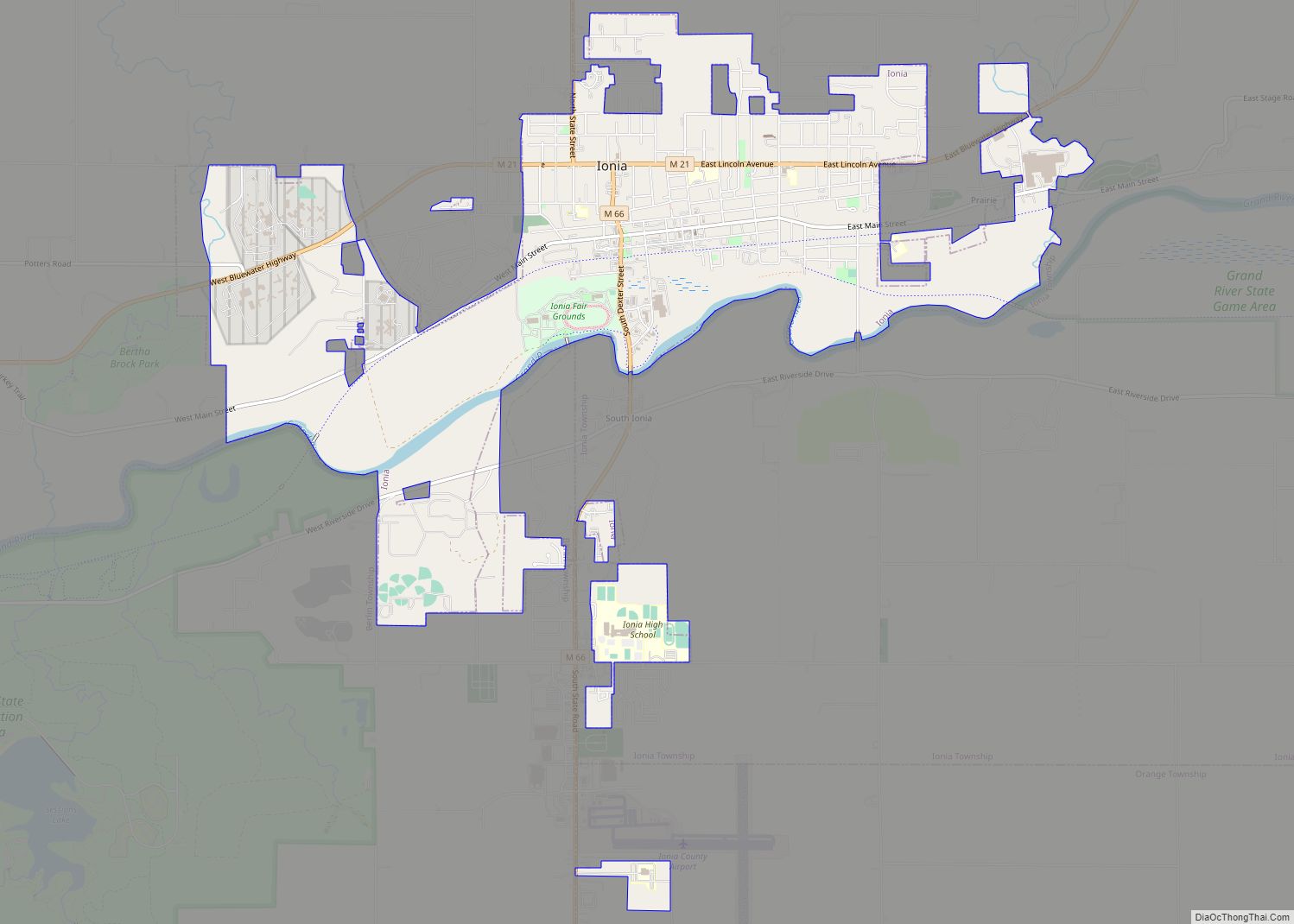
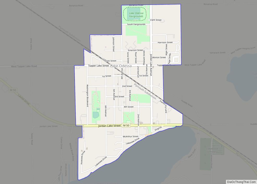
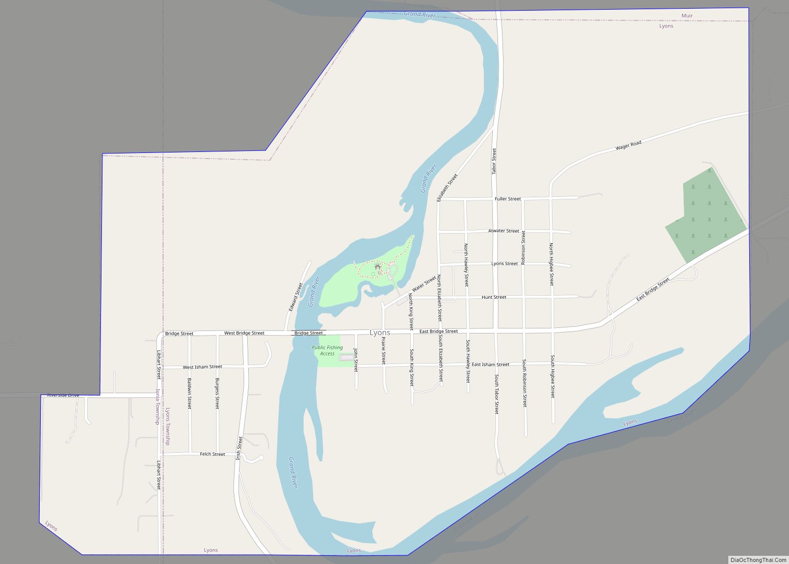
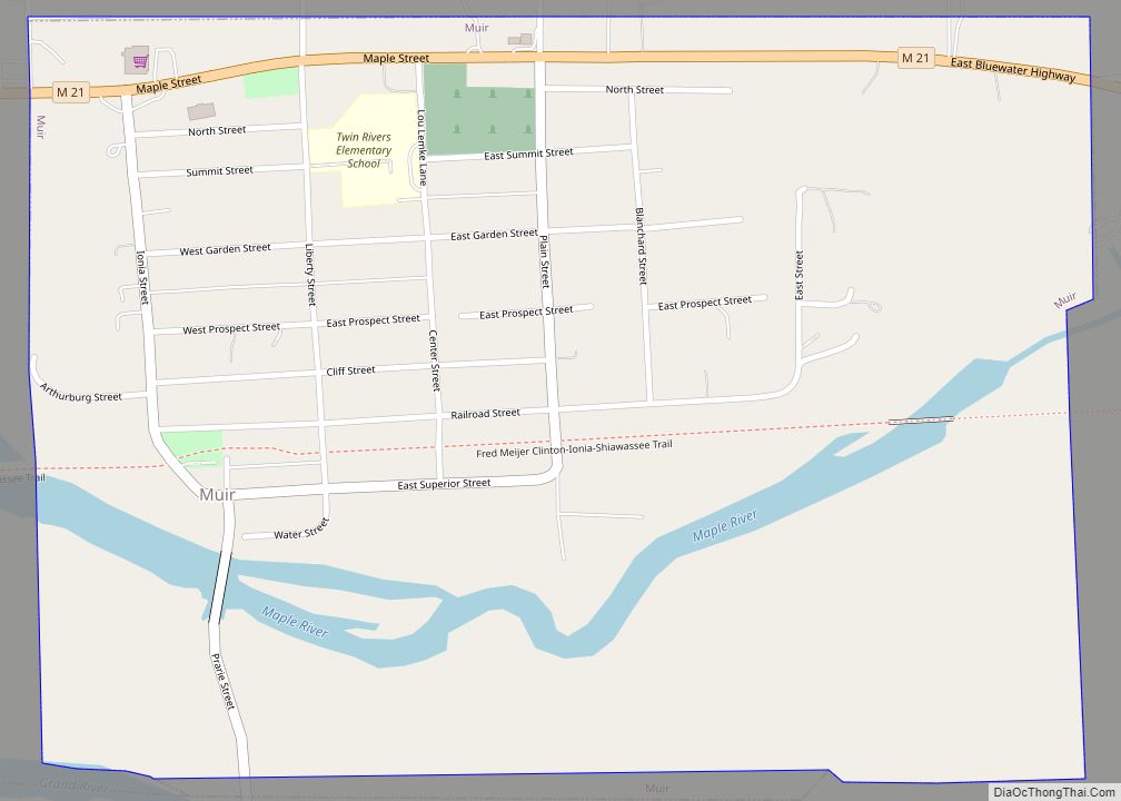
Online Interactive Map
Click on ![]() to view map in "full screen" mode.
to view map in "full screen" mode.
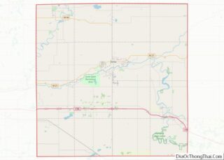
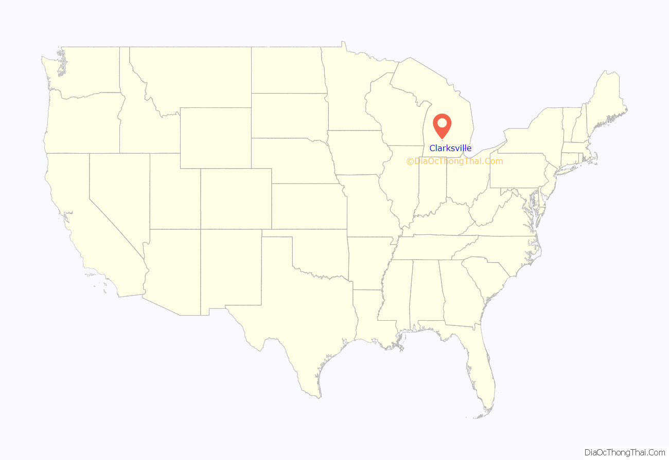
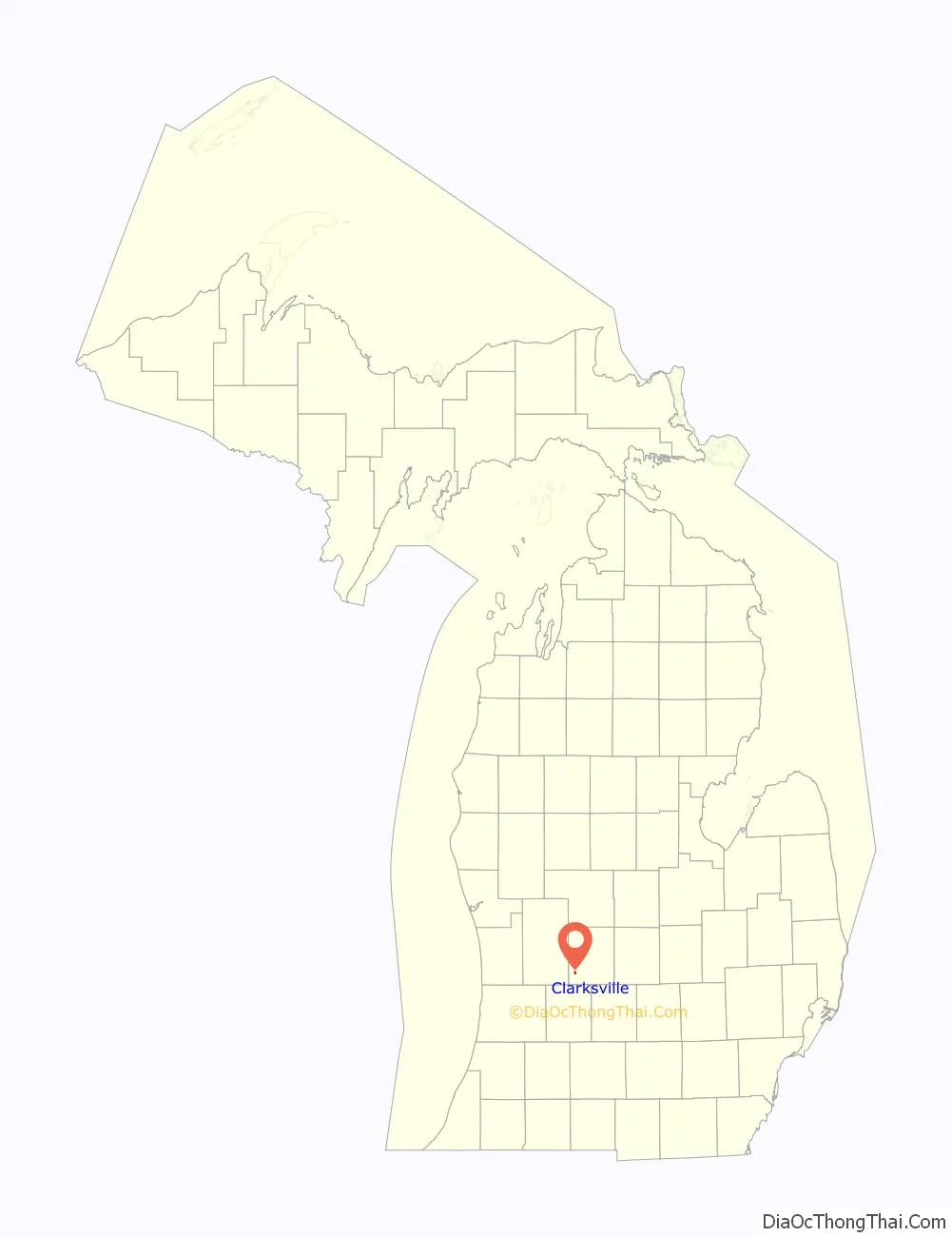
Clarksville location map. Where is Clarksville village?
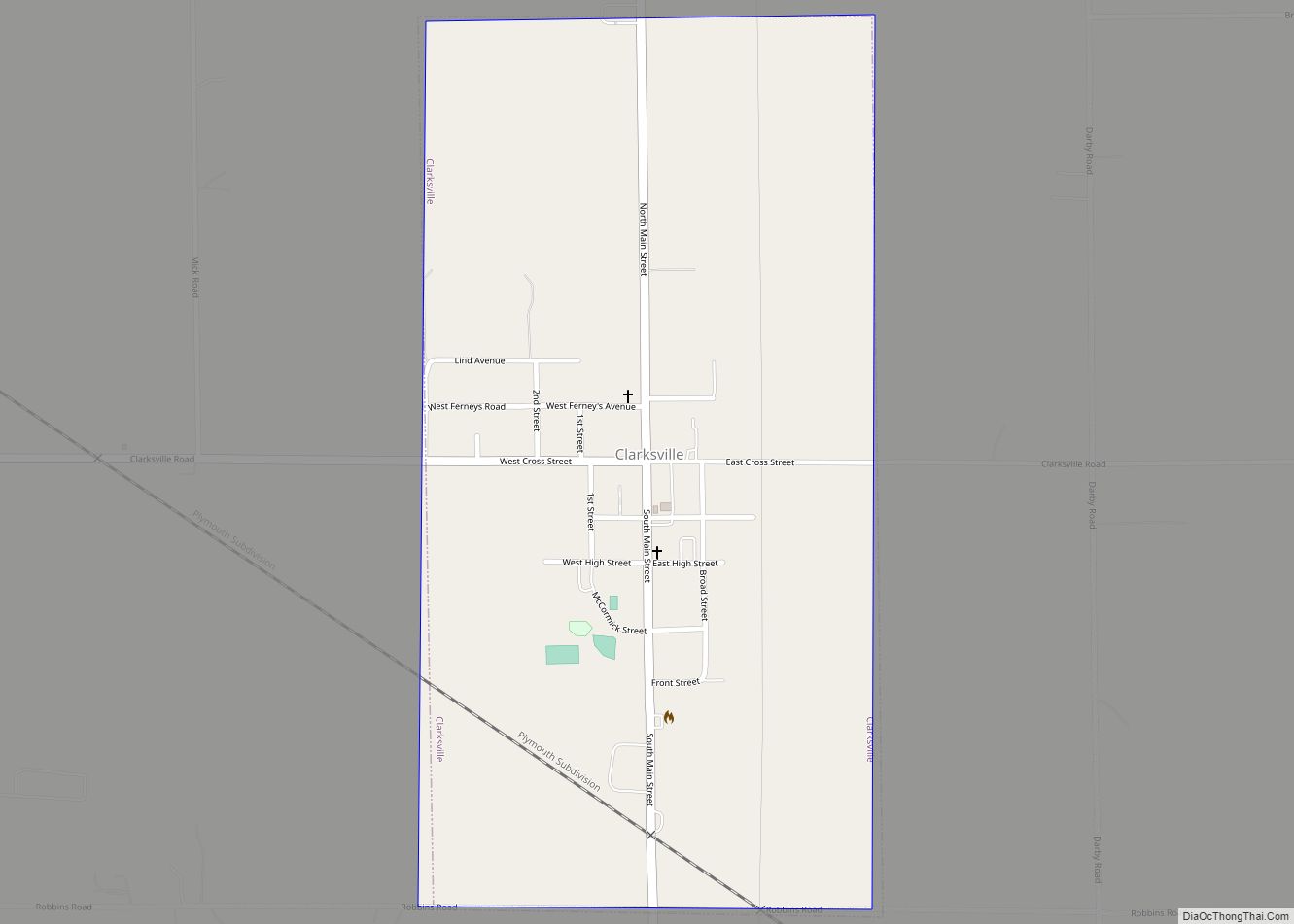
Clarksville Road Map

Clarksville city Satellite Map

Geography
According to the United States Census Bureau, the village has a total area of 0.50 square miles (1.29 km), all land.
See also
Map of Michigan State and its subdivision:- Alcona
- Alger
- Allegan
- Alpena
- Antrim
- Arenac
- Baraga
- Barry
- Bay
- Benzie
- Berrien
- Branch
- Calhoun
- Cass
- Charlevoix
- Cheboygan
- Chippewa
- Clare
- Clinton
- Crawford
- Delta
- Dickinson
- Eaton
- Emmet
- Genesee
- Gladwin
- Gogebic
- Grand Traverse
- Gratiot
- Hillsdale
- Houghton
- Huron
- Ingham
- Ionia
- Iosco
- Iron
- Isabella
- Jackson
- Kalamazoo
- Kalkaska
- Kent
- Keweenaw
- Lake
- Lake Hurron
- Lake Michigan
- Lake St. Clair
- Lake Superior
- Lapeer
- Leelanau
- Lenawee
- Livingston
- Luce
- Mackinac
- Macomb
- Manistee
- Marquette
- Mason
- Mecosta
- Menominee
- Midland
- Missaukee
- Monroe
- Montcalm
- Montmorency
- Muskegon
- Newaygo
- Oakland
- Oceana
- Ogemaw
- Ontonagon
- Osceola
- Oscoda
- Otsego
- Ottawa
- Presque Isle
- Roscommon
- Saginaw
- Saint Clair
- Saint Joseph
- Sanilac
- Schoolcraft
- Shiawassee
- Tuscola
- Van Buren
- Washtenaw
- Wayne
- Wexford
- Alabama
- Alaska
- Arizona
- Arkansas
- California
- Colorado
- Connecticut
- Delaware
- District of Columbia
- Florida
- Georgia
- Hawaii
- Idaho
- Illinois
- Indiana
- Iowa
- Kansas
- Kentucky
- Louisiana
- Maine
- Maryland
- Massachusetts
- Michigan
- Minnesota
- Mississippi
- Missouri
- Montana
- Nebraska
- Nevada
- New Hampshire
- New Jersey
- New Mexico
- New York
- North Carolina
- North Dakota
- Ohio
- Oklahoma
- Oregon
- Pennsylvania
- Rhode Island
- South Carolina
- South Dakota
- Tennessee
- Texas
- Utah
- Vermont
- Virginia
- Washington
- West Virginia
- Wisconsin
- Wyoming