Pawnee County is a county located in the U.S. state of Oklahoma. As of the 2010 census, the population was 16,577. Its county seat is Pawnee. The county is named after the Pawnee Nation, whose reservation used to encompass the county prior to allotment in 1893.
Pawnee County is included in the Tulsa, OK Metropolitan Statistical Area.
| Name: | Pawnee County |
|---|---|
| FIPS code: | 40-117 |
| State: | Oklahoma |
| Founded: | 1893 |
| Named for: | Pawnee Nation |
| Seat: | Pawnee |
| Largest city: | Cleveland |
| Total Area: | 595 sq mi (1,540 km²) |
| Land Area: | 568 sq mi (1,470 km²) |
| Total Population: | 16,577 |
| Population Density: | 29/sq mi (11/km²) |
| Website: | www.cityofpawnee.com/county-of-pawnee |
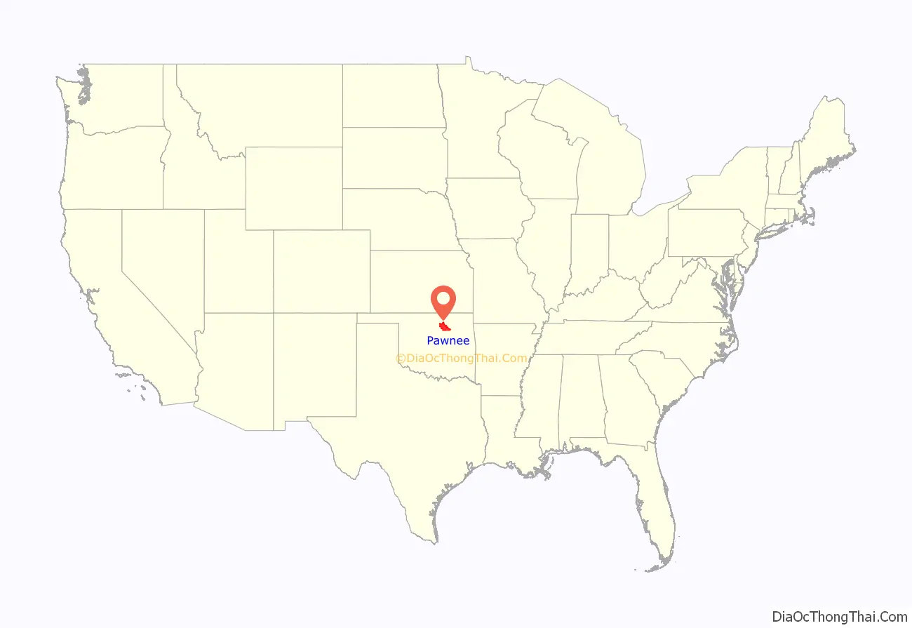
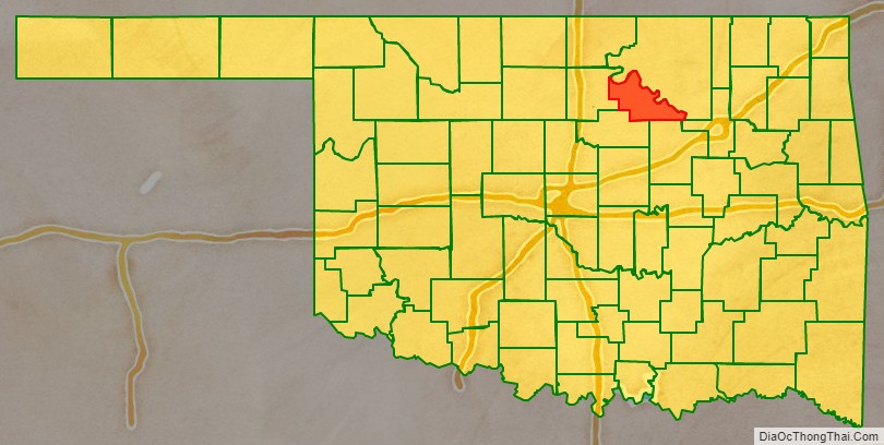
Pawnee County location map. Where is Pawnee County?
History
The Osage Nation used the area that contains present-day Pawnee County as buffalo hunting grounds. In 1825, The Osage ceded parts of present-day Missouri, Arkansas, and most of the future state of Oklahoma to the US federal government.
After their forced removal from the Southeastern United States, Cherokee people received land in Eastern Oklahoma as well as the Cherokee Outlet in 1828, which included present-day Pawnee County. After the Civil War, the Cherokee agreed to allow other American Indians to settle in the eastern portion of the outlet. According to the Tribal Historic Preservation Office of the Pawnee Nation, the Pawnee people sold their Nebraska reservation in 1874 and used those funds to purchase land from the Cherokee Nation and the Muscogee Nation to establish a home in the Indian Territory.
From the Pawnee Nation Historic Preservation Office, the Pawnee people were forced to sign an agreement in 1891 to take land allotments from the reservation or have their lands taken from them by Imminent Domain. The remaining lands were opened to non-Indian settlers in 1893. Pawnee County was organized as County Q, and the future town of Pawnee, Townsite Number 13, was designated the county seat. In 1894, the voters chose the name Pawnee County over the name Platte County.
The female bandit, Little Britches, companion in crime with Cattle Annie, lived for a time at Sinnett, site of the Muscogee (Creek) Nation in Pawnee County.
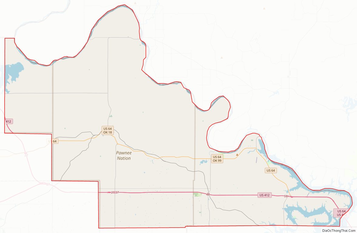
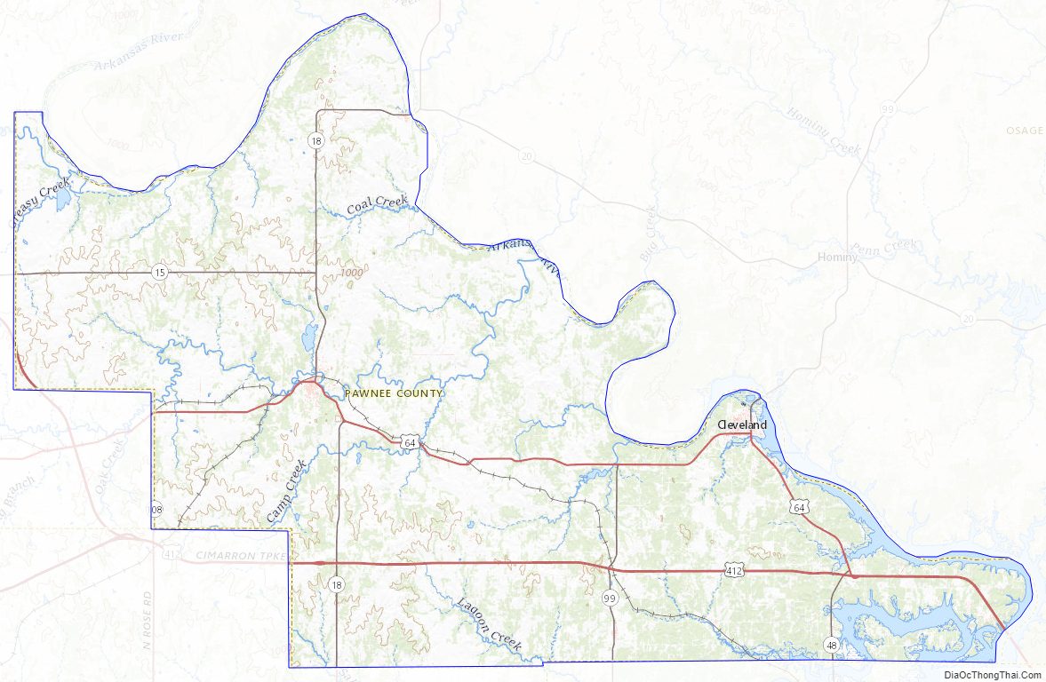
Pawnee County Road Map
Geography
According to the U.S. Census Bureau, the county has a total area of 595 square miles (1,540 km), of which 568 square miles (1,470 km) is land and 27 square miles (70 km) (4.5%) is water.
The western third of the county is part of the Red Bed plains, while the remainder is in the Sandstone Hills region. The Cimarron and Arkansas Rivers drain the county. Black Bear Creek also extends through the county. Lone Chimney Lake dam is also in Pawnee County, while the lake extends into Payne County.
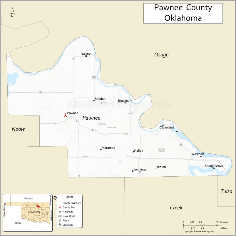
Adjacent counties
- Osage County (northeast)
- Tulsa County (southeast)
- Creek County (south)
- Payne County (southwest)
- Noble County (west)
Earthquake
A magnitude 5.8 earthquake struck near the city of Pawnee, just after 7 a.m. (CST) on September 3, 2016. This was Oklahoma’s strongest quake in history, exceeding the 5.7-magnitude quake near Prague on November 5, 2011. Buildings in Pawnee were damaged, but there were no reports of deaths. A Pawnee resident was injured while shielding his child from debris falling from a chimney. State regulators in Oklahoma ordered 37 petroleum production wastewater disposal wells in the vicinity of the earthquake (see map in citation) to be rapidly closed while assessments were made.
Pawnee County Topographic Map
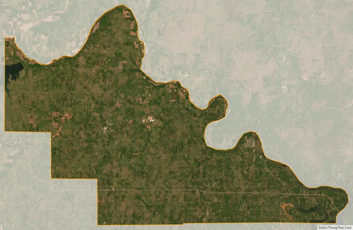
Pawnee County Satellite Map
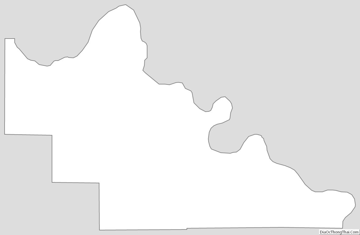
Pawnee County Outline Map
See also
Map of Oklahoma State and its subdivision:- Adair
- Alfalfa
- Atoka
- Beaver
- Beckham
- Blaine
- Bryan
- Caddo
- Canadian
- Carter
- Cherokee
- Choctaw
- Cimarron
- Cleveland
- Coal
- Comanche
- Cotton
- Craig
- Creek
- Custer
- Delaware
- Dewey
- Ellis
- Garfield
- Garvin
- Grady
- Grant
- Greer
- Harmon
- Harper
- Haskell
- Hughes
- Jackson
- Jefferson
- Johnston
- Kay
- Kingfisher
- Kiowa
- Latimer
- Le Flore
- Lincoln
- Logan
- Love
- Major
- Marshall
- Mayes
- McClain
- McCurtain
- McIntosh
- Murray
- Muskogee
- Noble
- Nowata
- Okfuskee
- Oklahoma
- Okmulgee
- Osage
- Ottawa
- Pawnee
- Payne
- Pittsburg
- Pontotoc
- Pottawatomie
- Pushmataha
- Roger Mills
- Rogers
- Seminole
- Sequoyah
- Stephens
- Texas
- Tillman
- Tulsa
- Wagoner
- Washington
- Washita
- Woods
- Woodward
- Alabama
- Alaska
- Arizona
- Arkansas
- California
- Colorado
- Connecticut
- Delaware
- District of Columbia
- Florida
- Georgia
- Hawaii
- Idaho
- Illinois
- Indiana
- Iowa
- Kansas
- Kentucky
- Louisiana
- Maine
- Maryland
- Massachusetts
- Michigan
- Minnesota
- Mississippi
- Missouri
- Montana
- Nebraska
- Nevada
- New Hampshire
- New Jersey
- New Mexico
- New York
- North Carolina
- North Dakota
- Ohio
- Oklahoma
- Oregon
- Pennsylvania
- Rhode Island
- South Carolina
- South Dakota
- Tennessee
- Texas
- Utah
- Vermont
- Virginia
- Washington
- West Virginia
- Wisconsin
- Wyoming