Prague (/ˈpreɪɡ/) is a city in Lincoln County, Oklahoma, United States. The population was 2,346 at the 2020 census, an 1.76 percent decrease from the figure of 2,388 in 2010. Czech immigrants founded the city, and named it after the capital of the present-day Czech Republic.
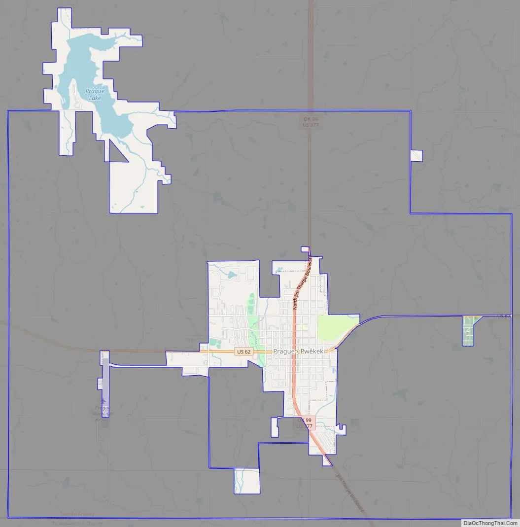
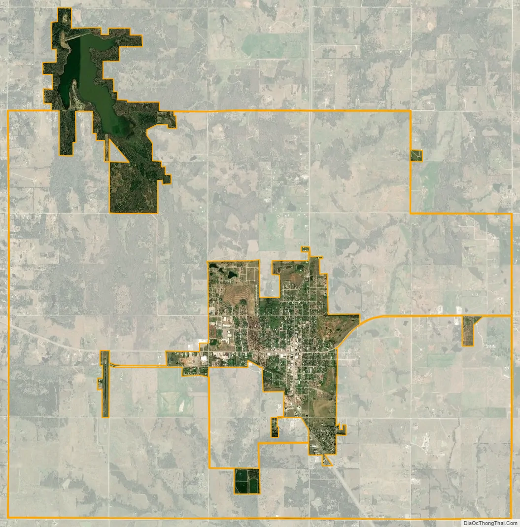
| Name: | Prague city |
|---|---|
| LSAD Code: | 25 |
| LSAD Description: | city (suffix) |
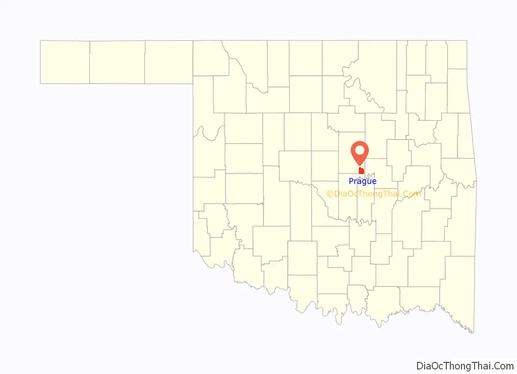
| State: | Oklahoma |
| County: | Lincoln County |
| Elevation: | 1,007 ft (307 m) |
| Total Area: | 3.50 sq mi (9.05 km²) |
| Land Area: | 3.14 sq mi (8.13 km²) |
| Water Area: | 0.36 sq mi (0.93 km²) |
| Total Population: | 2,356 |
| Population Density: | 750.80/sq mi (289.88/km²) |
| ZIP code: | 74864 |
| Area code: | 405/572 |
| FIPS code: | 4060500 |
| GNISfeature ID: | 1096887 |
| Website: | www.cityofpragueok.org |
Online Interactive Map
Click on ![]() to view map in "full screen" mode.
to view map in "full screen" mode.
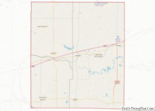
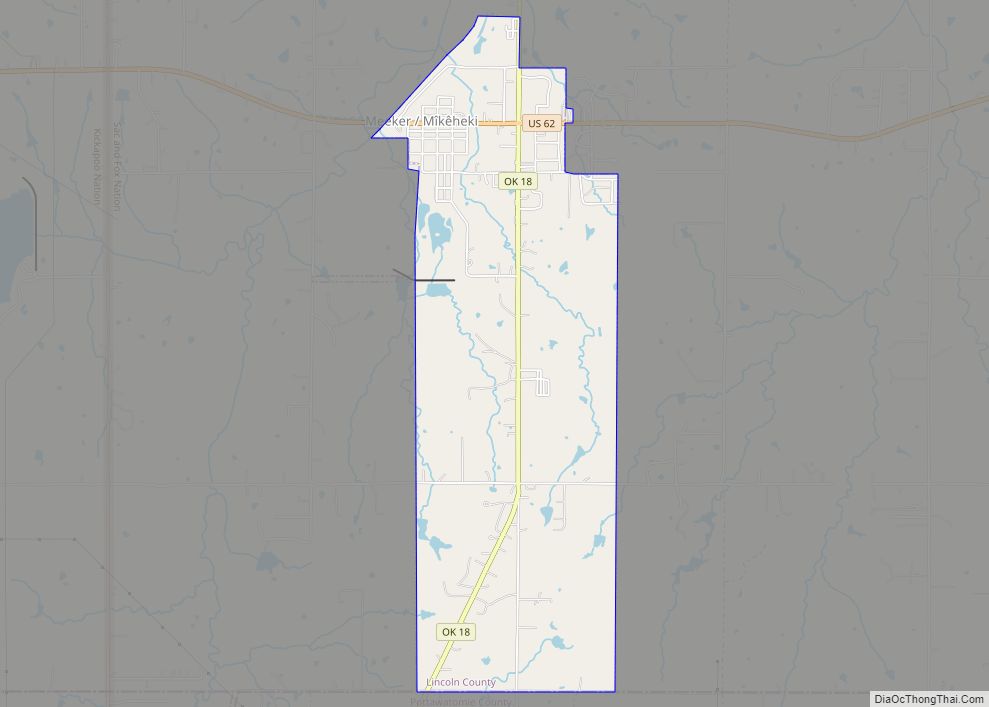
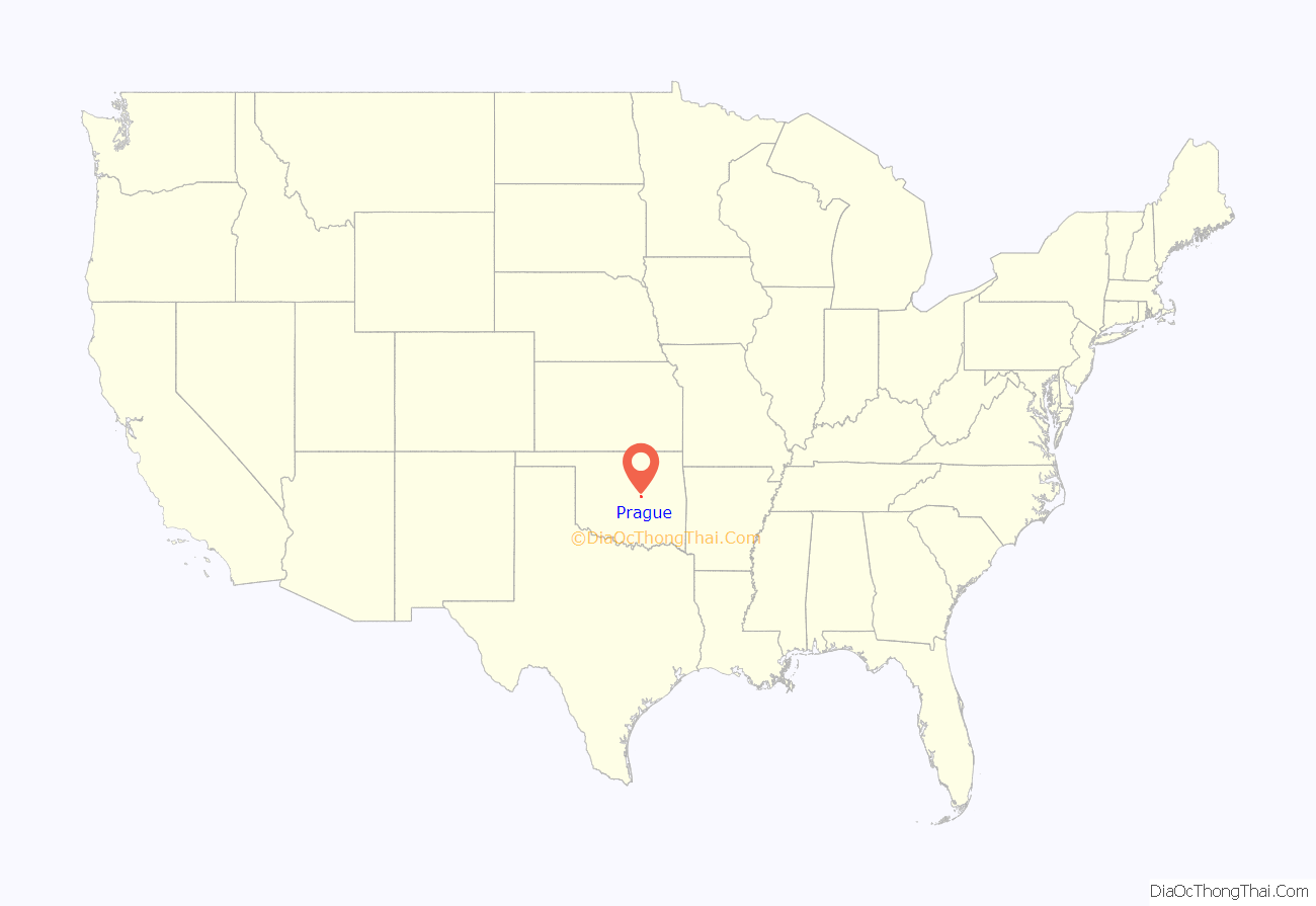
Prague location map. Where is Prague city?
History
After the opening of the Sac and Fox Reservation by a land run on September 22, 1891, Czech immigrants settled and founded Prague. Eva Barta owned the land, and named the new town “Prague” for the Czech capital in Europe, then part of Austria-Hungary. The town incorporated in 1902. The town’s name has been adopted in Sac and Fox language as Pwêkeki.
On March 27, 1943, the film Hangmen Also Die! had its world premiere in Prague in an event which featured Adolf Hitler, Hirohito and Mussolini being hanged in effigy on Main Street. The town of Prague was apparently chosen because the movie is loosely based on the 1942 assassination of Reinhard Heydrich, the Nazi Reich Protector of the German-occupied city of Prague, now in the Czech Republic. After the premiere, the film opened nationwide in the first days of April, beginning with 20 key cities.
On May 24, 1952, a head-on automobile collision seriously injured Indian mystic Meher Baba near Prague. The accident site has become a place of pilgrimage for world wide Meher Baba followers.
An F5 tornado tore through Prague on May 5, 1960.
For 1996 Summer Olympics, the torch was carried through the town of Prague in order to commemorate the legacy of the legendary Sac and Fox native Olympic athlete, Jim Thorpe, who was born and raised in this region.
On November 5, 2011 a series of earthquakes struck near Prague, the first one a magnitude 4.7 at 2:15 a.m. CST, followed by a series of aftershocks, and then a second quake of magnitude 5.7 at 10:53 p.m. CST, the strongest recorded in Oklahoma history until a 5.8-magnitude earthquake occurred on September 3, 2016. This continued on November 7, 2011 when another 4.7 hit at 8:45 p.m., just five miles northwest of Prague.
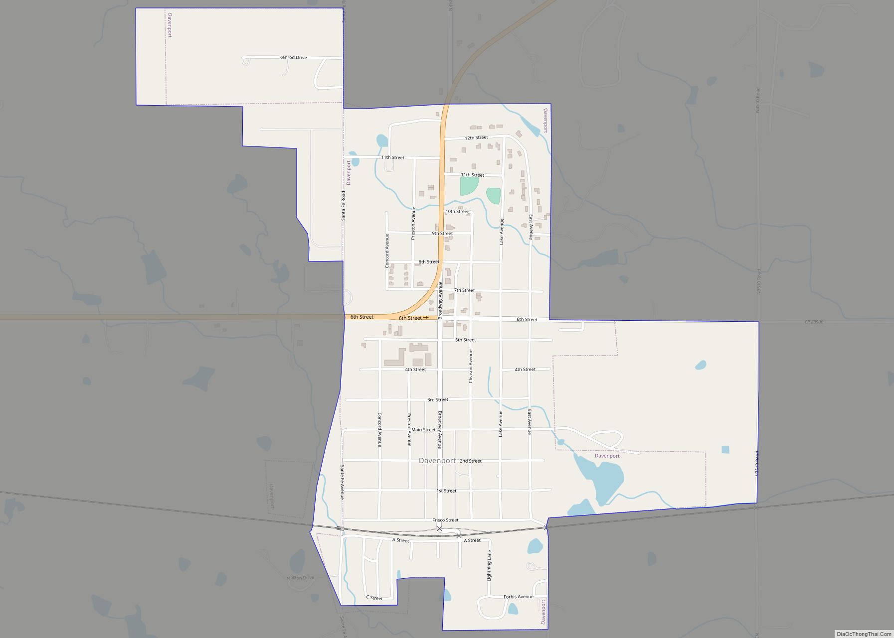
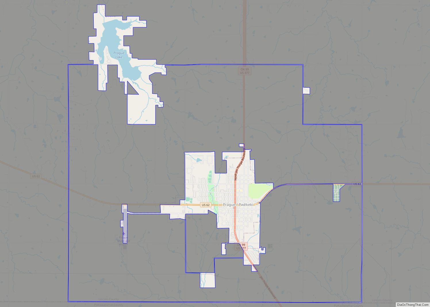
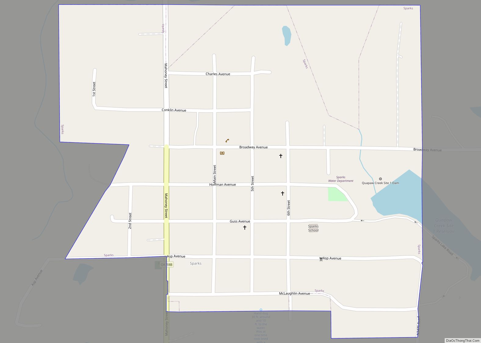
Prague Road Map
Prague city Satellite Map
Geography
Prague is located at 35°29′10″N 96°41′16″W / 35.48611°N 96.68778°W / 35.48611; -96.68778 (35.486092, -96.687792).
According to the United States Census Bureau, the city has a total area of 1.8 square miles (4.7 km), all land.
See also
Map of Oklahoma State and its subdivision:- Adair
- Alfalfa
- Atoka
- Beaver
- Beckham
- Blaine
- Bryan
- Caddo
- Canadian
- Carter
- Cherokee
- Choctaw
- Cimarron
- Cleveland
- Coal
- Comanche
- Cotton
- Craig
- Creek
- Custer
- Delaware
- Dewey
- Ellis
- Garfield
- Garvin
- Grady
- Grant
- Greer
- Harmon
- Harper
- Haskell
- Hughes
- Jackson
- Jefferson
- Johnston
- Kay
- Kingfisher
- Kiowa
- Latimer
- Le Flore
- Lincoln
- Logan
- Love
- Major
- Marshall
- Mayes
- McClain
- McCurtain
- McIntosh
- Murray
- Muskogee
- Noble
- Nowata
- Okfuskee
- Oklahoma
- Okmulgee
- Osage
- Ottawa
- Pawnee
- Payne
- Pittsburg
- Pontotoc
- Pottawatomie
- Pushmataha
- Roger Mills
- Rogers
- Seminole
- Sequoyah
- Stephens
- Texas
- Tillman
- Tulsa
- Wagoner
- Washington
- Washita
- Woods
- Woodward
- Alabama
- Alaska
- Arizona
- Arkansas
- California
- Colorado
- Connecticut
- Delaware
- District of Columbia
- Florida
- Georgia
- Hawaii
- Idaho
- Illinois
- Indiana
- Iowa
- Kansas
- Kentucky
- Louisiana
- Maine
- Maryland
- Massachusetts
- Michigan
- Minnesota
- Mississippi
- Missouri
- Montana
- Nebraska
- Nevada
- New Hampshire
- New Jersey
- New Mexico
- New York
- North Carolina
- North Dakota
- Ohio
- Oklahoma
- Oregon
- Pennsylvania
- Rhode Island
- South Carolina
- South Dakota
- Tennessee
- Texas
- Utah
- Vermont
- Virginia
- Washington
- West Virginia
- Wisconsin
- Wyoming