Cleveland is a city in Pawnee County, Oklahoma, United States. The 2010 census population was 3,251, a decrease of 0.9 percent from the figure of 3,282 recorded in 2000.
| Name: | Cleveland city |
|---|---|
| LSAD Code: | 25 |
| LSAD Description: | city (suffix) |
| State: | Oklahoma |
| County: | Pawnee County |
| Elevation: | 778 ft (237 m) |
| Total Area: | 2.69 sq mi (6.96 km²) |
| Land Area: | 2.68 sq mi (6.95 km²) |
| Water Area: | 0.00 sq mi (0.01 km²) |
| Total Population: | 3,205 |
| Population Density: | 1,194.11/sq mi (461.03/km²) |
| ZIP code: | 74020 |
| Area code: | 539/918 |
| FIPS code: | 4015350 |
| GNISfeature ID: | 1091455 |
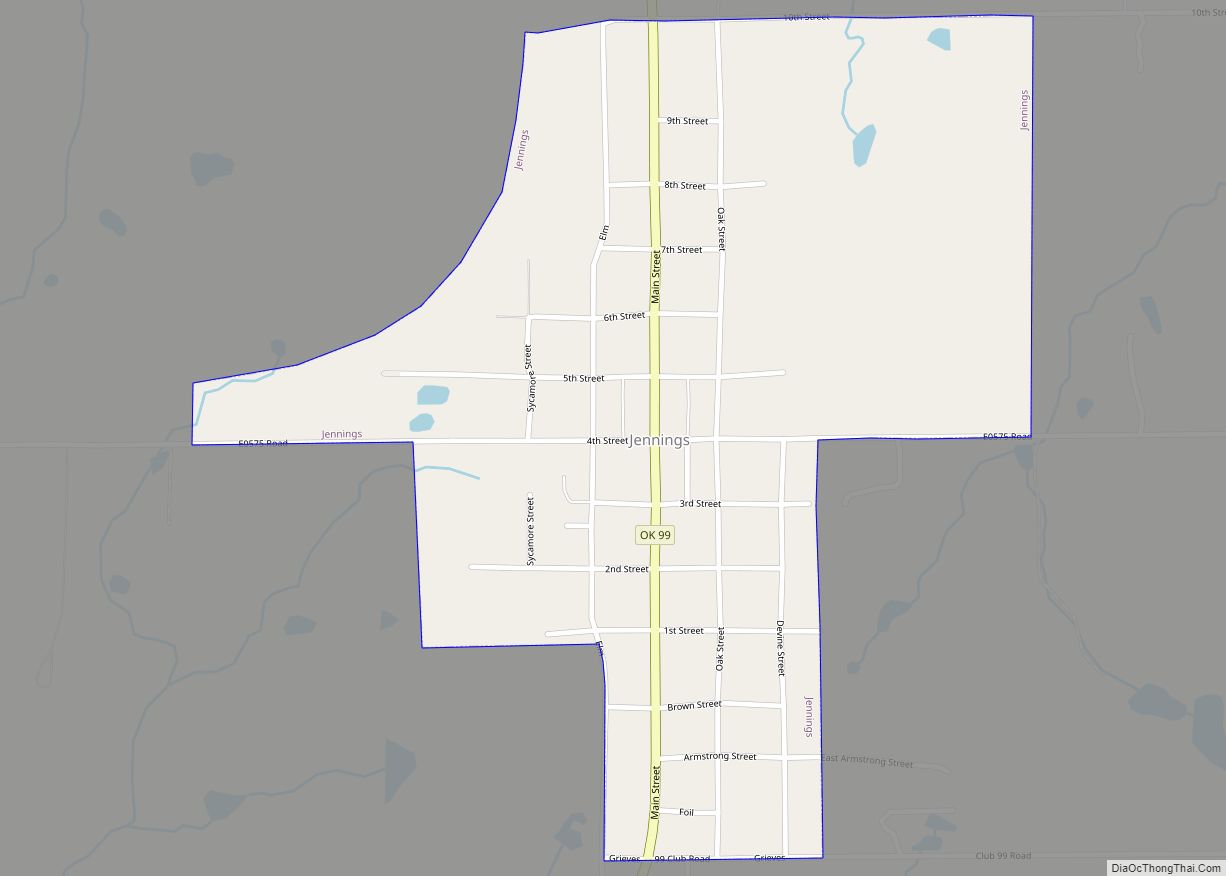
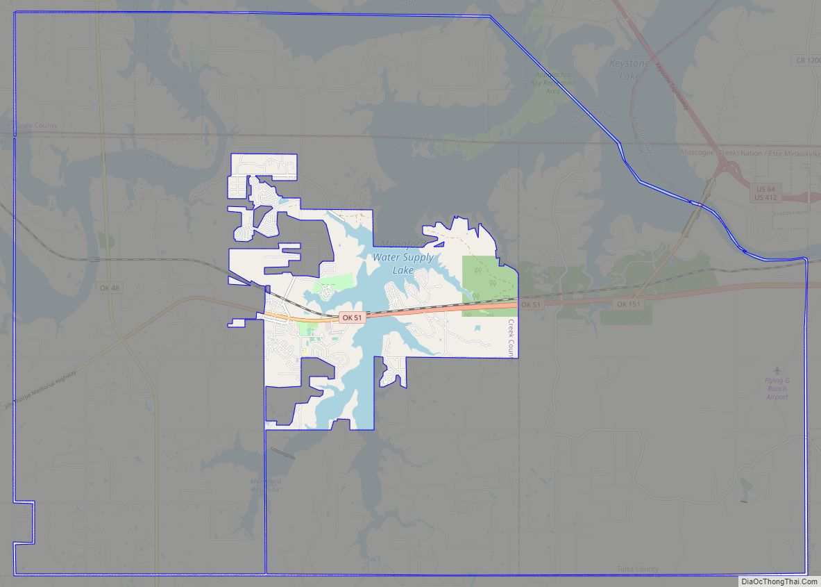
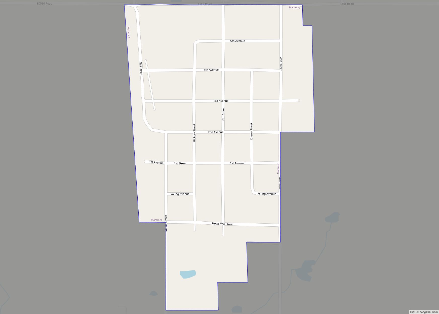
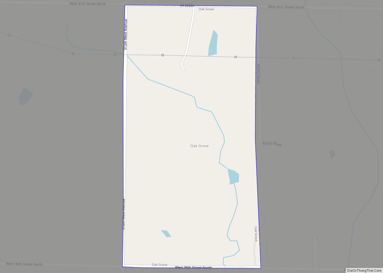
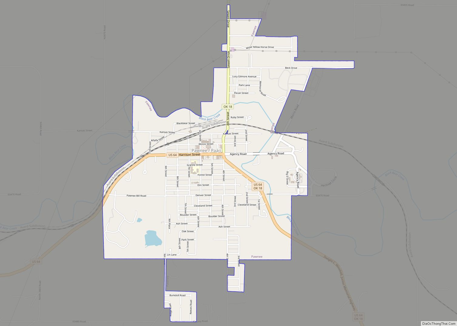
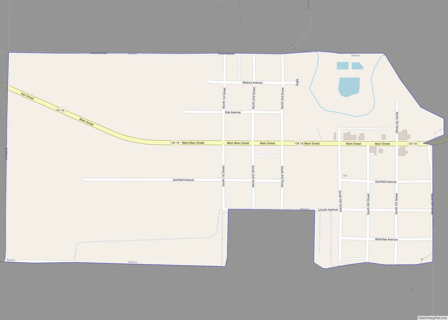
Online Interactive Map
Click on ![]() to view map in "full screen" mode.
to view map in "full screen" mode.
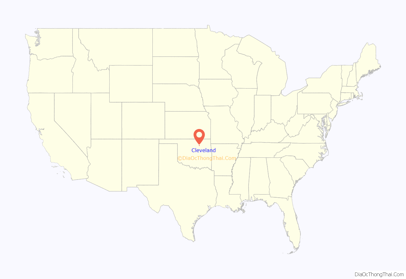
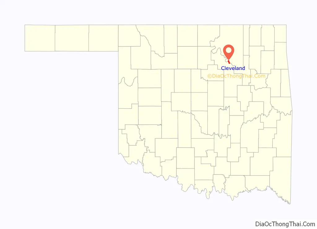
Cleveland location map. Where is Cleveland city?
History
After the Cherokee Outlet opening, a homesteader by the name of Willis H. Herbert established a town named Herbert by opening a post office on the current townsite of Cleveland on October 28, 1893. The Post Office department subsequently withdrew the approval of the Herbert post office. The post office was then moved 100 feet, and reestablished under the name Cleveland, named in honor of then President Grover Cleveland on April 19, 1894. By 1900, the town’s population was 211. Before the discovery of oil in the area, the town served as a trade center between the local farmers and the Osage Tribe who lived on the reservation on the other side of the Arkansas river.
In 1904, a railroad line owned by the Missouri, Kansas and Oklahoma Railroad (later known as Missouri, Kansas and Texas Railway or Katy) from Oklahoma City reached Cleveland and crossed the Arkansas River into Osage County. On May 27, 1904, the first oil well was spudded near the community, and it caused an influx of oil workers and other people. At the time of statehood in 1907, Cleveland had 1,441 residents.
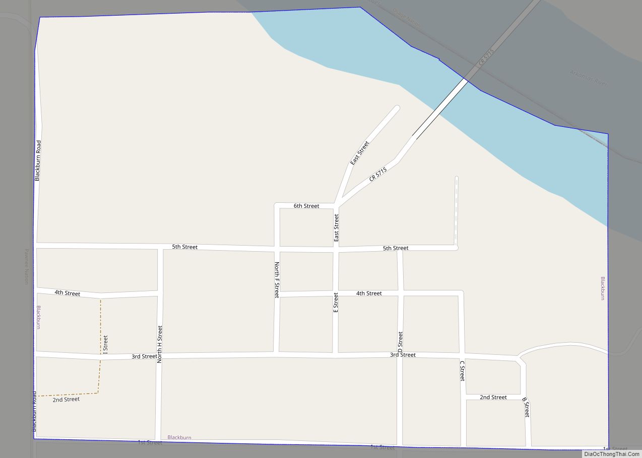
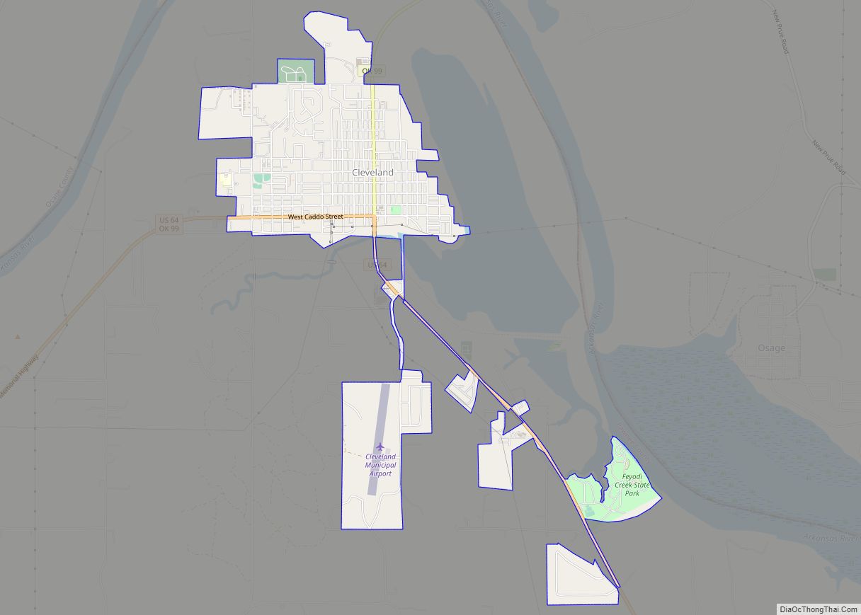
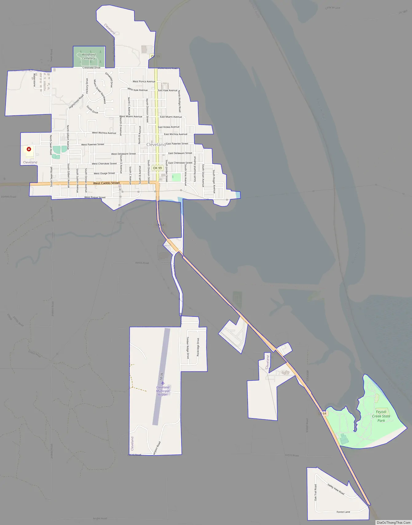
Cleveland Road Map
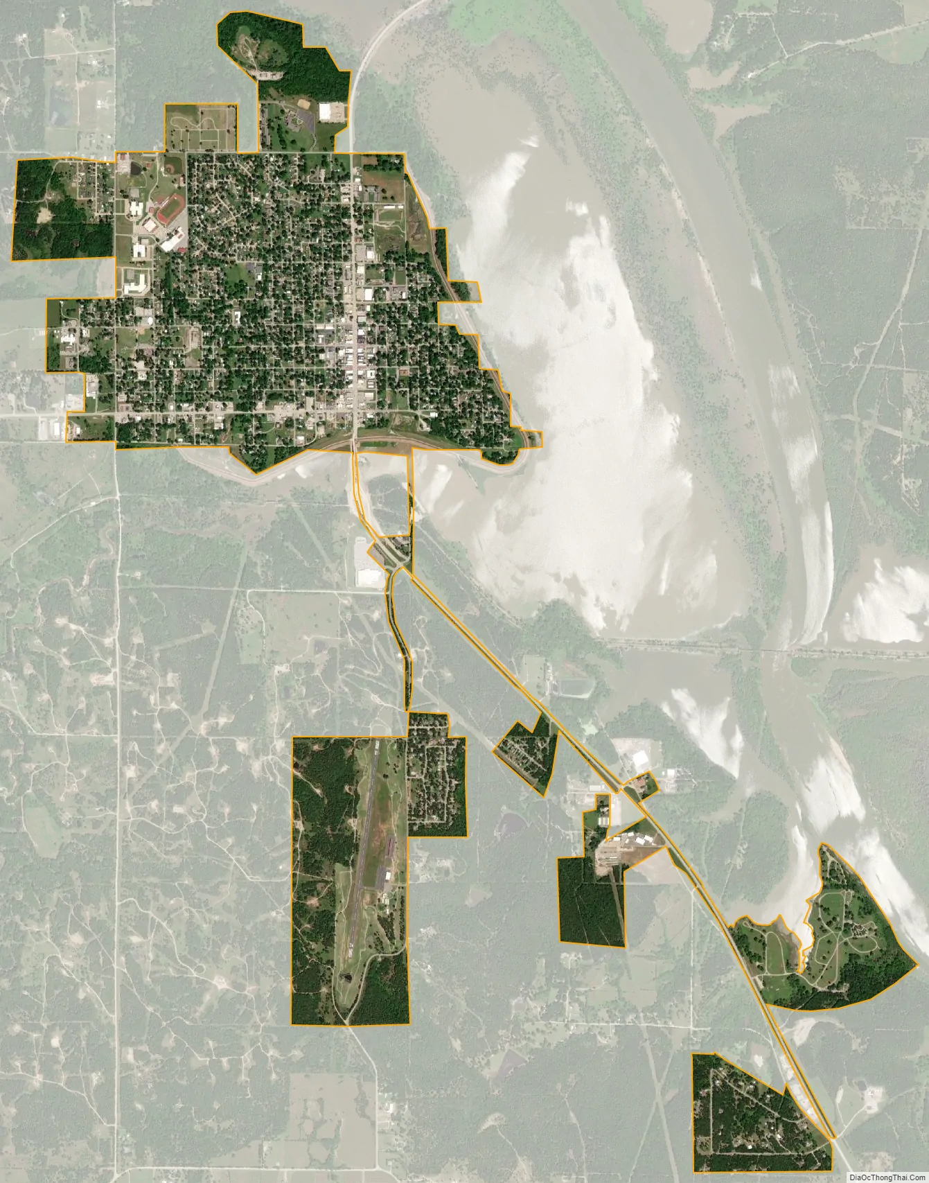
Cleveland city Satellite Map
Geography
According to the United States Census Bureau, the city has a total area of 2.6 square miles (6.7 km), of which 2.6 square miles (6.7 km) is land and 0.38% is water.
See also
Map of Oklahoma State and its subdivision:- Adair
- Alfalfa
- Atoka
- Beaver
- Beckham
- Blaine
- Bryan
- Caddo
- Canadian
- Carter
- Cherokee
- Choctaw
- Cimarron
- Cleveland
- Coal
- Comanche
- Cotton
- Craig
- Creek
- Custer
- Delaware
- Dewey
- Ellis
- Garfield
- Garvin
- Grady
- Grant
- Greer
- Harmon
- Harper
- Haskell
- Hughes
- Jackson
- Jefferson
- Johnston
- Kay
- Kingfisher
- Kiowa
- Latimer
- Le Flore
- Lincoln
- Logan
- Love
- Major
- Marshall
- Mayes
- McClain
- McCurtain
- McIntosh
- Murray
- Muskogee
- Noble
- Nowata
- Okfuskee
- Oklahoma
- Okmulgee
- Osage
- Ottawa
- Pawnee
- Payne
- Pittsburg
- Pontotoc
- Pottawatomie
- Pushmataha
- Roger Mills
- Rogers
- Seminole
- Sequoyah
- Stephens
- Texas
- Tillman
- Tulsa
- Wagoner
- Washington
- Washita
- Woods
- Woodward
- Alabama
- Alaska
- Arizona
- Arkansas
- California
- Colorado
- Connecticut
- Delaware
- District of Columbia
- Florida
- Georgia
- Hawaii
- Idaho
- Illinois
- Indiana
- Iowa
- Kansas
- Kentucky
- Louisiana
- Maine
- Maryland
- Massachusetts
- Michigan
- Minnesota
- Mississippi
- Missouri
- Montana
- Nebraska
- Nevada
- New Hampshire
- New Jersey
- New Mexico
- New York
- North Carolina
- North Dakota
- Ohio
- Oklahoma
- Oregon
- Pennsylvania
- Rhode Island
- South Carolina
- South Dakota
- Tennessee
- Texas
- Utah
- Vermont
- Virginia
- Washington
- West Virginia
- Wisconsin
- Wyoming