St. Landry Parish (French: Paroisse de Saint-Landry) is a parish located in the U.S. state of Louisiana. As of the 2020 Census, the population was 82,540. The parish seat is Opelousas. The parish was established in 1807.
St. Landry Parish comprises the Opelousas, LA Micropolitan Statistical Area (μSA), which is also included in the Lafayette-Opelousas-Morgan City, LA Combined Statistical Area. It is at the heart of Creole and Cajun culture and heritage in Louisiana.
| Name: | St. Landry Parish |
|---|---|
| FIPS code: | 22-097 |
| State: | Louisiana |
| Founded: | 1807 |
| Named for: | St. Landry Catholic Church |
| Seat: | Opelousas |
| Largest city: | Opelousas |
| Total Area: | 939 sq mi (2,430 km²) |
| Land Area: | 924 sq mi (2,390 km²) |
| Total Population: | 82,540 |
| Population Density: | 88/sq mi (34/km²) |
| Time zone: | UTC−6 (Central) |
| Summer Time Zone (DST): | UTC−5 (CDT) |
| Website: | stlandrypg.org |
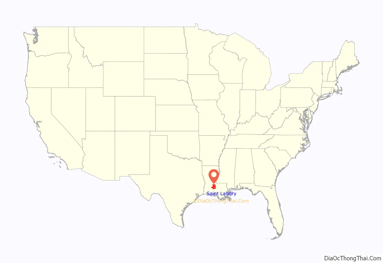
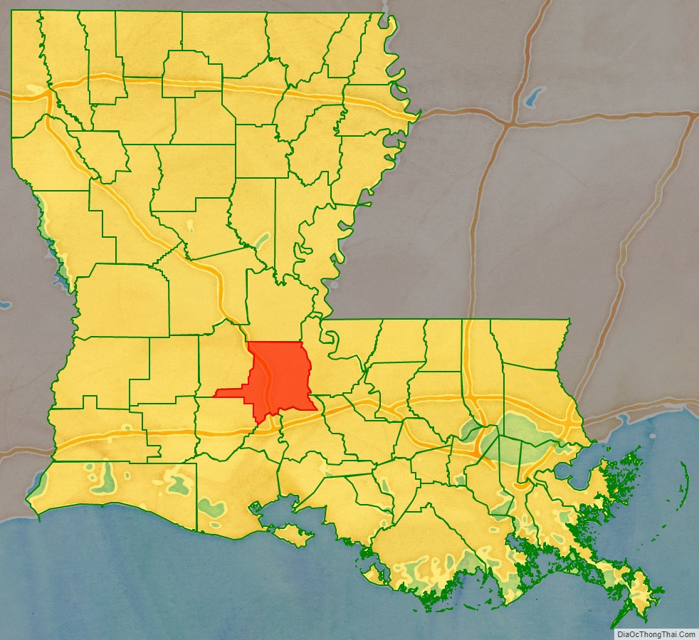
St. Landry Parish location map. Where is St. Landry Parish?
History
French and Spanish Territory
The land that became St. Landry Parish was inhabited since at least 10,500 B.C., as deduced from excavations of three prehistoric dwelling sites. By the 15th century, the Opelousa Indians settled in the area situated between Atchafalaya River and Sabine River (at the border of Texas-Louisiana). The Opelousa were war-like and preyed on neighbors to defend their own territory.
The first European recorded in the Opelousa territory was a French trader named Michel de Birotte. He came in 1690 and negotiated with the Opelousa nation. Nine years later, France named Louisiana as a colony and defined the land occupied by the Opelousa as the Opelousas Territory. The area south of the Opelousas Territory between the Atchafalaya River, the Gulf of Mexico and Bayou Nezpique, occupied by the Attakapas Indians (Eastern Atakapa), was named Attakapas Territory.
In 1764, France established the Opelousas Post slightly north of the contemporary city of Opelousas (near present-day Washington). It was a major trading organization for the developing area. In addition, France established the Attakapas Post (near the present-day St. Martinville) in the Attakapas Territory, in 1765. France gave land grants to soldiers and settlers to encourage development. Most settlers were French immigrants. Tradition says that Jean Joseph LeKintrek and Joseph Blainpain, who had formed a partnership to trade with the Opelousa Indians, came in the early 1740s. They brought three enslaved Africans, the first to live in the area.
Some Indians sold land to the newcomers. When the Eastern Attakapas Chief Kinemo sold all the land between Vermilion River and Bayou Teche to Frenchman Gabriel Fuselier de la Claire in 1760, however, the angry Opelousa tribe exterminated the Attakapas (Eastern Atakapa).
France ceded Louisiana and its territories to Spain in 1762. Under Spanish rule, Opelousas Post became the center of government for Southwest Louisiana. By 1769 about 100 families were living in Opelousas Post. Between 1780 and 1820, the first settlers were joined by others coming from the Attakapas Territory, from the Pointe Coupée Territory, and east from the Atchafalaya River area. They were joined by immigrants from the French West Indies, who left after Haiti/St. Domingue became independent in a slave revolution. Most of the new settlers were French, Spaniards, French Creoles, Spanish Creoles, Africans and African-Americans.
The group from Attakapas Post included many Acadians. These were French who migrated from Nova Scotia in 1763, after their expulsion by the English in the aftermath of France’s defeat in the Seven Years’ War (known in North America as the French and Indian War). They were led by Jean-Jacques Blaise d’Abbadie. D’Abbadie was Governor of the territory from 1763 to 1765. The French community built St. Landry Catholic Church in 1765, dedicated to St. Landry (Landericus) of Paris, the Bishop of Paris in the 7th century.
On April 10, 1805, after the United States had acquired the Louisiana Purchase, the post was named the town of Opelousas and became the seat of the County of Opelousas, part of the Territory of Orleans. In 1807, when the territory was reorganized into parishes, Opelousas was designated the seat of St. Landry Parish.
Purchase by the United States
The United States gained control of the territory in 1803 through the Louisiana Purchase. Americans from the South and other parts of the United States began to migrate to the area, marking the arrival of the first large English-speaking population and the introduction of the need for more general use of English.
St. Landry Parish was officially established on April 10, 1805 by a legislative act, becoming the largest parish in the Louisiana state. The new parish was named after the St. Landry Catholic Church located near the Opelousas Post. The parish’s boundaries encompassed about half the land of the Opelousas Territory, between the Atchafalaya River and Sabine River, between Rapides Parish and Vernon Parish, and Lafayette and St. Martin Parishes. Since then, the area of the parish has decreased, as six additional parishes have been created from its territory. These include Calcasieu, Acadia, Evangeline, Jeff Davis, Beauregard, and Allen.
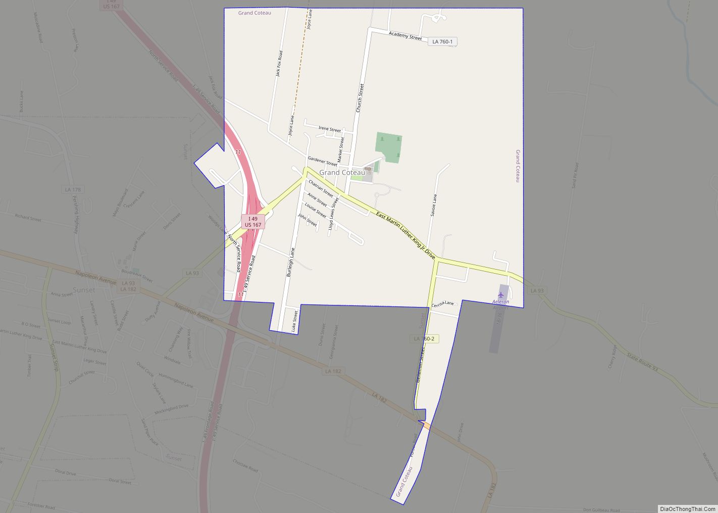
In 1821 the second educational institution west of the Mississippi was founded in Grand Coteau. In this community south of Opelousas is the Academy of the Sacred Heart, a private Catholic school founded by the French Creole community.
The city of Opelousas has been the seat of government for the St. Landry Parish since its formation. After Baton Rouge fell to the Union troops during the Civil War in 1862, Opelousas became the state capital for nine months. The capital was moved again in 1863, this time to Shreveport when Union troops occupied Opelousas.
St. Landry Parish originally consisted of all the territory in the current parishes of Acadia, Evangeline, and St. Landry. Over time, it was separated into three different parishes. The southwestern portion of St. Landry was broken off to become Acadia Parish in 1886. A bill was introduced in the Louisiana House of Representatives entitled “An act to create the parish of Nicholls, and to provide for the organization thereof.” The title was later changed to read: “An act to create the parish of Acadia.” Father Joseph Anthonioz, the first pastor of the Catholic Church at Rayne, is credited with having suggested the name, Acadia Parish. The bill passed the house on June 11, the senate on June 28, and was approved by Governor Samuel D. McEnery on June 30. On October 6, an election was held to affirm the creation of the parish, with 2,516 votes for and 1,521 votes against the creation.
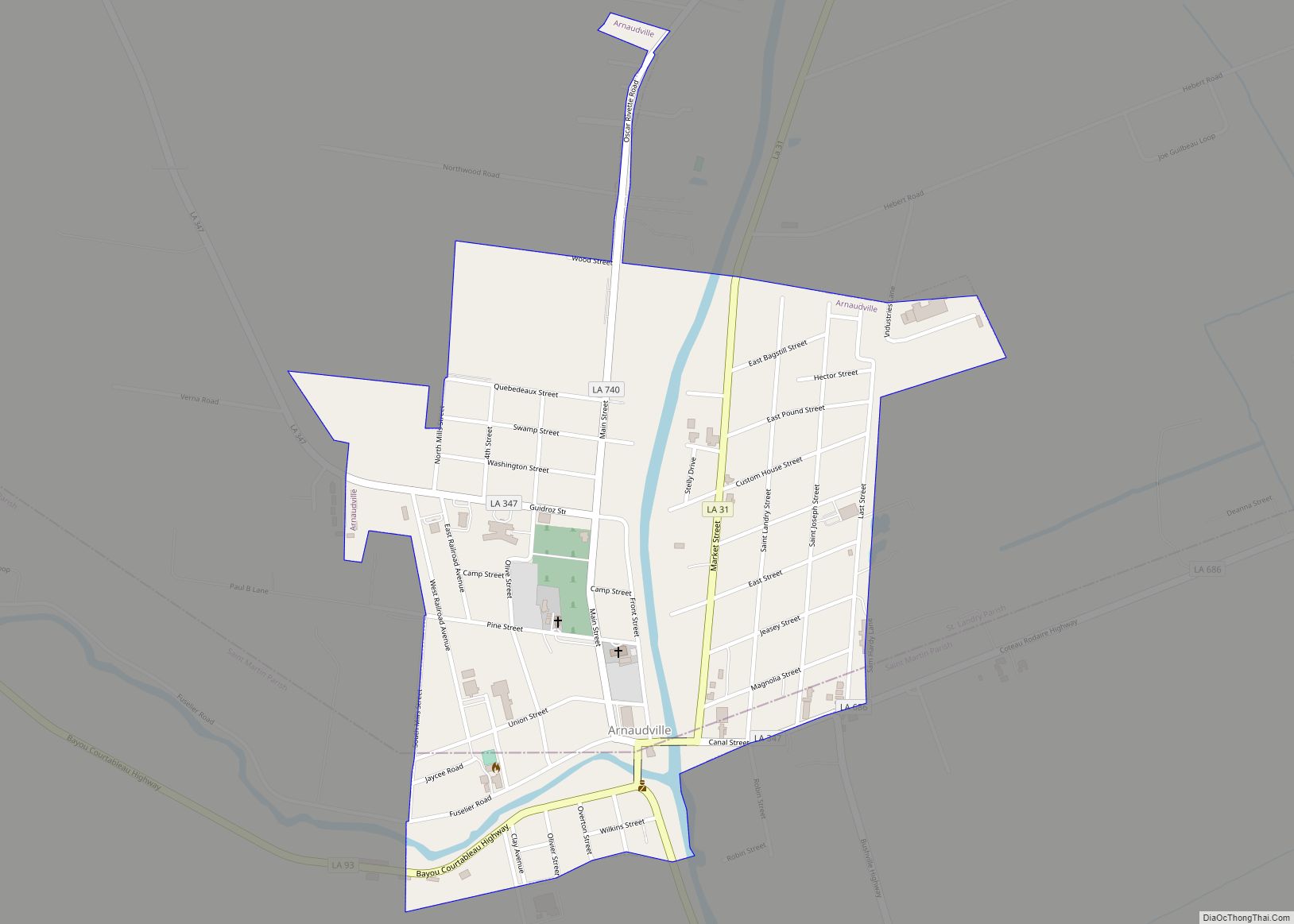
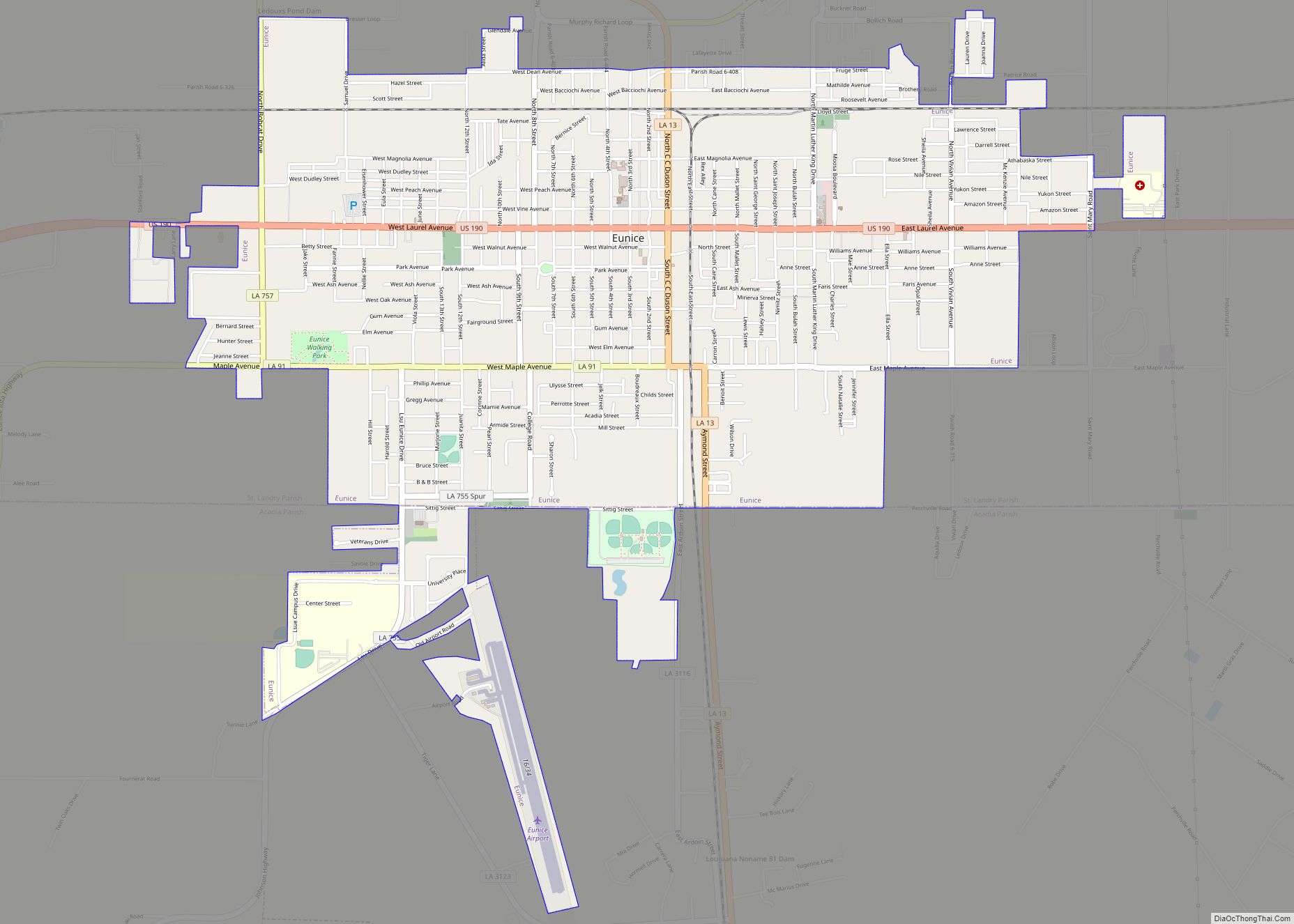
St. Landry was divided again when the northwestern portion was broken away. In June 1908, a bill was passed to create a new parish out of a portion of St. Landry Parish. This new parish became named Evangeline Parish in 1910. Prior to creation of the new parish, Eunice and Ville Platte were in competition for the new parish seat. Ville Platte was selected by voters on April 12, 1909. After the election, Eunice declared it would remain in St. Landry Parish.
Opelousas massacre
In the aftermath of the ratification of Louisiana’s Constitution of 1868 and the Fourteenth Amendment to the United States Constitution, tensions between white Democrats and Black Republicans in St. Landry Parish escalated throughout the summer of 1868. On September 28, white schoolteacher and Republican newspaper editor Emerson Bentley was attacked and beaten by three white supremacists while teaching a classroom of Black children in Opelousas, Louisiana. Rumors of Bentley’s death, while unfounded, led both Black Republicans and white supremacist Democrats, including the St. Landry Parish chapter of the Knights of the White Camelia, to threaten violent retribution. In the days following Bentley’s subsequent covert flight to New Orleans, the massacre began. Heavily outnumbered, Black citizens were chased, captured, shot, murdered, and lynched during the following weeks. While estimates of casualties vary widely, several sources number the deaths between 200 and 300 black people and several dozen whites, making it the bloodiest massacres of the Reconstruction Era and among the deadliest in American history. Following the massacre, the Republican Party in St. Landry Parish was eliminated for several years.
2019 black church fires
During 10 days, three black churches, the St. Mary Baptist Church over 100 years old (26 March 2019), Greater Union Baptist Church (2 April 2019), and Mount Pleasant Baptist Church (4 April 2019) set on fire by a vandal and this incident raised officials concern that the fires started by racist and radical group or person. Finally, police arrested the vandal who was the son of a St. Landry Parish sheriff’s deputy. Holden Matthews, 21, has been charged with the arson attack on black churches.
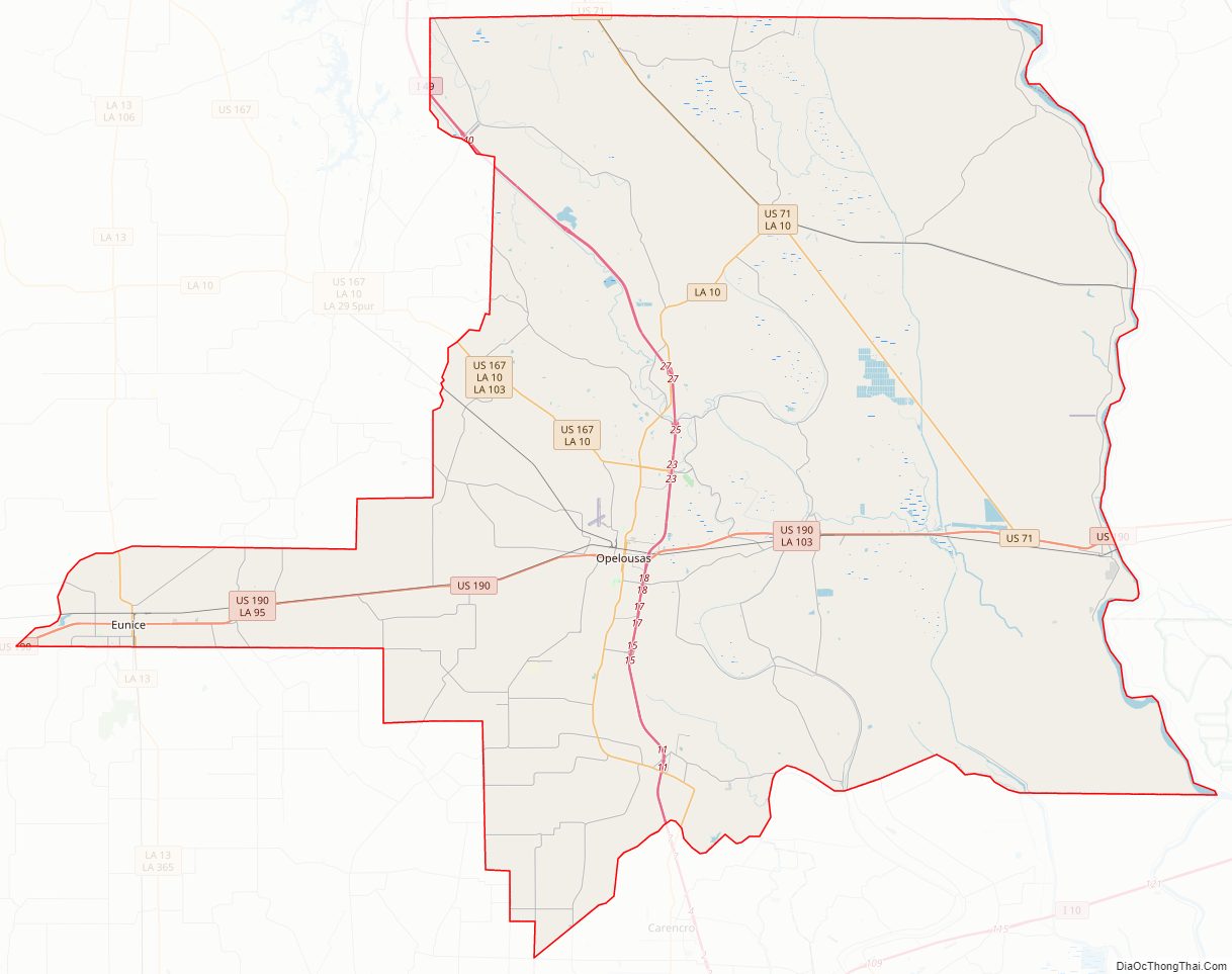
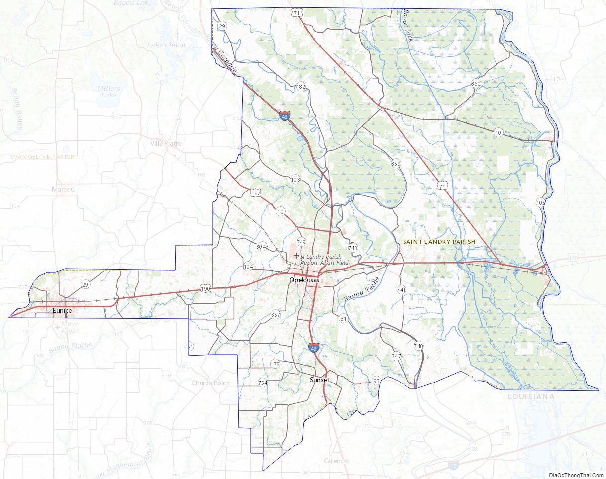
St. Landry Parish Road Map
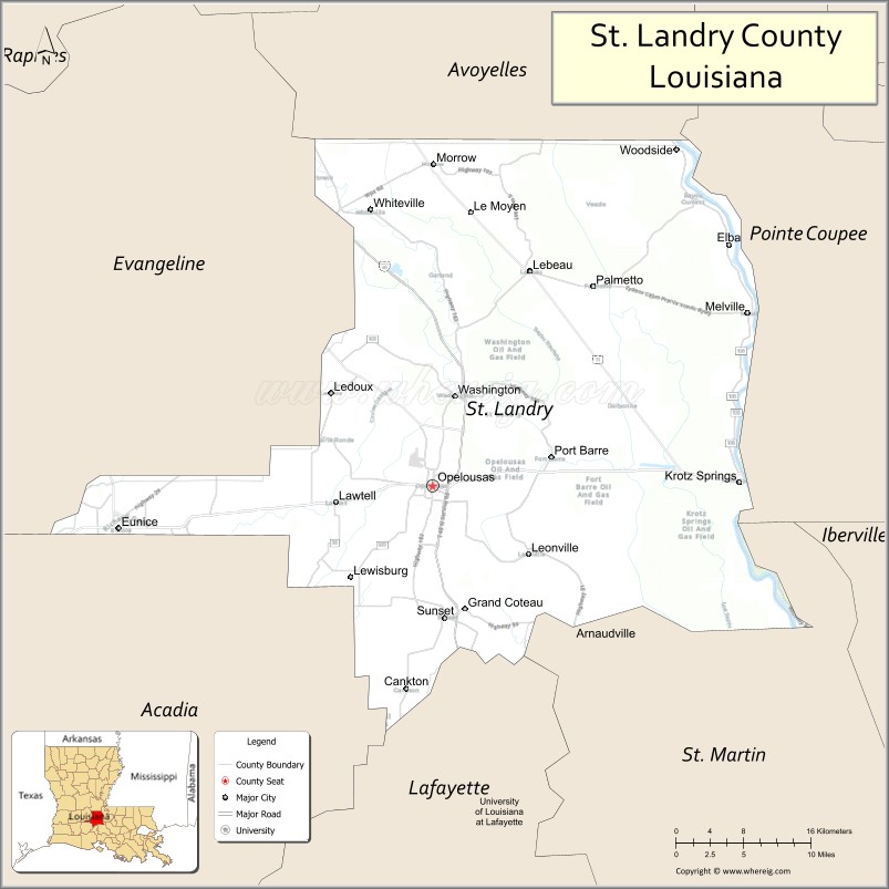
Geography
According to the U.S. Census Bureau, the parish has a total area of 939 square miles (2,430 km), of which 924 square miles (2,390 km) is land and 15 square miles (39 km) (0.6%) is water.
Adjacent parishes
- Avoyelles Parish (north)
- Pointe Coupee Parish (east)
- St. Martin Parish (southeast)
- Lafayette Parish (south)
- Acadia Parish (southwest)
- Evangeline Parish (northwest)
National protected areas
- Atchafalaya National Wildlife Refuge (part)
- Jean Lafitte National Historical Park and Preserve (part, in Eunice)
Major highways
- Interstate 49
- U.S. Highway 71
- U.S. Highway 167
- U.S. Highway 190
- Louisiana Highway 10
- Louisiana Highway 29
- Louisiana Highway 31
- Louisiana Highway 35
- Louisiana Highway 93
- Louisiana Highway 103
- Louisiana Highway 182
St. Landry Parish Topographic Map
St. Landry Parish Satellite Map

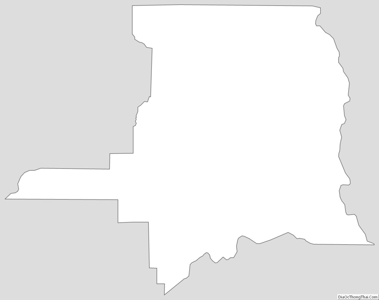
St. Landry Parish Outline Map