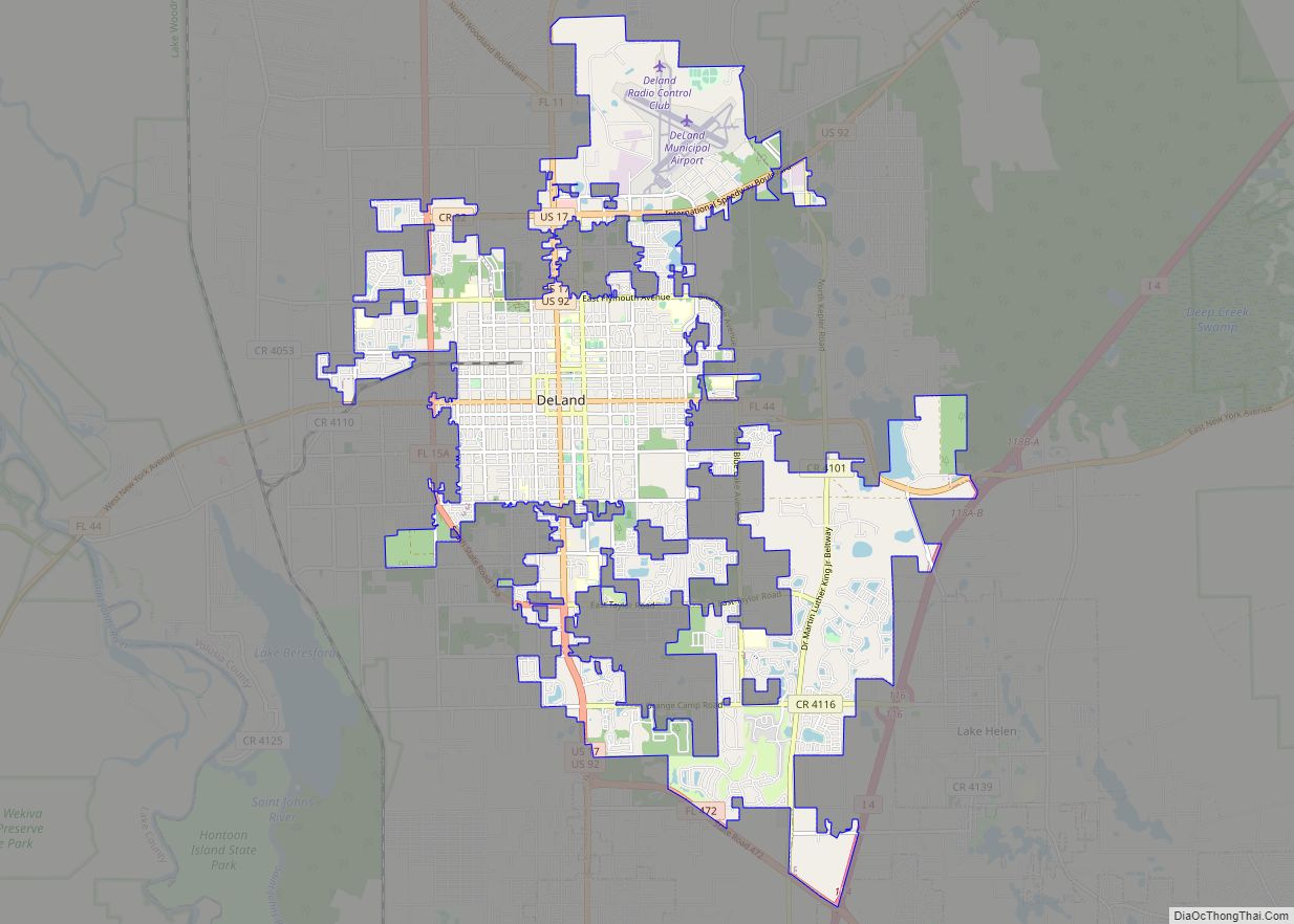
Volusia County (/vəˈluːʃə/, və-LOO-shə) is located in the east-central part of the U.S. state of Florida between the St. Johns River and the Atlantic Ocean. As of the 2020 census, the county was home to 553,543 people, an increase of 11.9% from the 2010 census. It was founded on December 29, 1854, from part of Orange County, and was named for the community of Volusia, located in northwestern Volusia County. Its first county seat was Enterprise. Since 1887, its county seat has been DeLand.
Volusia County is part of the Deltona–Daytona Beach–Ormond Beach metropolitan statistical area, as well as part of the larger Orlando–Deltona–Daytona Beach Combined statistical area.
| Name: | Volusia County |
|---|---|
| FIPS code: | 12-127 |
| State: | Florida |
| Founded: | December 29, 1854 |
| Named for: | Community of Volusia |
| Seat: | DeLand |
| Largest city: | Deltona |
| Total Area: | 1,432.44 sq mi (3,710.0 km²) |
| Land Area: | 1,101.03 sq mi (2,851.7 km²) |
| Total Population: | 553,543 |
| Population Density: | 503/sq mi (194/km²) |
| Time zone: | UTC−5 (Eastern) |
| Summer Time Zone (DST): | UTC−4 (EDT) |
| Website: | www.volusia.org |
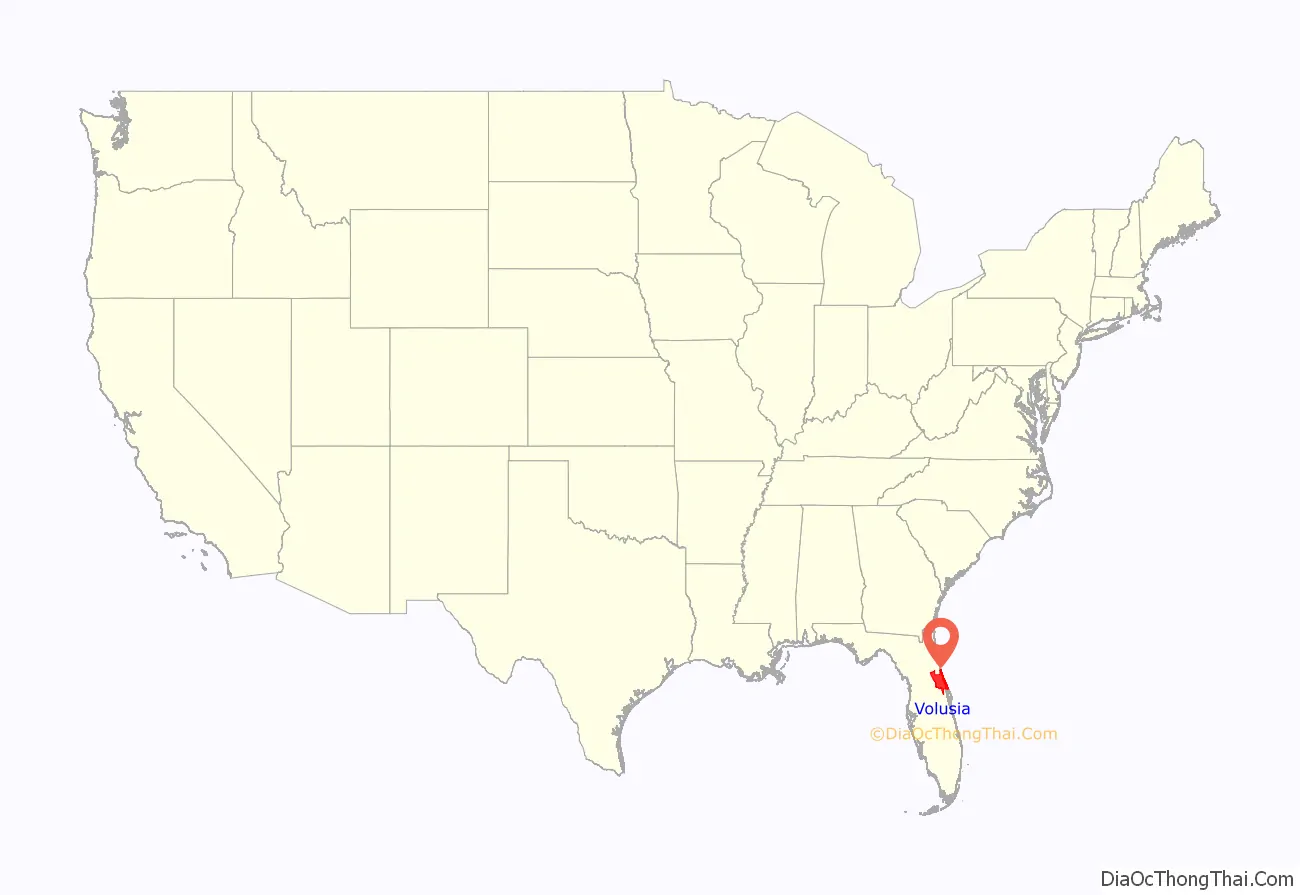
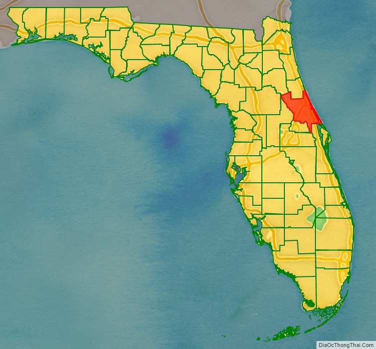
Volusia County location map. Where is Volusia County?
History
Volusia County was named after its largest community, Volusia, when the Florida Legislature created it by dividing Orange County on December 29, 1854. At the time, Volusia County had about 600 residents.
The origins of the word “Volusia” are unclear, though several theories exist:
- The name came from a word meaning “Land of the Euchee”, from the Euchee Indians who migrated into the area after the Timucua Indian cultures declined in the early 1700s. The Euchees (or Uchees) lived in the area of Spring Gardens, about 10 miles south of Volusia.
- It was named after a British settler named Voluz, who owned a plantation located on the St. Johns River in the late 1700s.
- The name originated from the Veluche, the surname of a French or Belgian owner of the trading post in Volusia. According to some, this was during the British regime, and according to others, it was around 1818. Over time, the name Veluche became anglicized to Volusia.
- The town was established by and named for Jere Volusia.
- The settlement was named by the Spanish after the celebrated Roman jurist Volusio, who wrote 30 books and tutored Marcus Aurelius, the Roman emperor and philosopher.
The land area of present-day Volusia County was long inhabited by the indigenous Timucua and Mayaca peoples. Neither historic group exists today as distinct ethnic tribes, having been decimated by disease and war in the decades after contact with European traders and settlers. The large shell middens at Tomoka State Park and other evidence of their historic habitation can still be seen in various areas of Volusia County.
During the British occupation of Florida, a colony known as New Smyrna was started in southeast Volusia County by Andrew Turnbull. This colony was connected to St. Augustine, the capital of East Florida, via the Kings Road. After the failure of the colony the settlers, many of whom were ethnic Menorcan and Greek, traveled the 70 mi (110 km) to move to St. Augustine.
The Seminole Indians, descendants of the Creek tribe of Alabama and Georgia who resisted forced relocation to Indian Territory, also camped in various parts of Volusia County. During the Second Seminole War (1836–1842), the Seminole burned a large sugar plantation in what is today the city of Daytona Beach.
On the east shore of the St. Johns River in Volusia, in present-day DeBary, General Winfield Scott established a fort/depot in 1836 named Fort Florida.
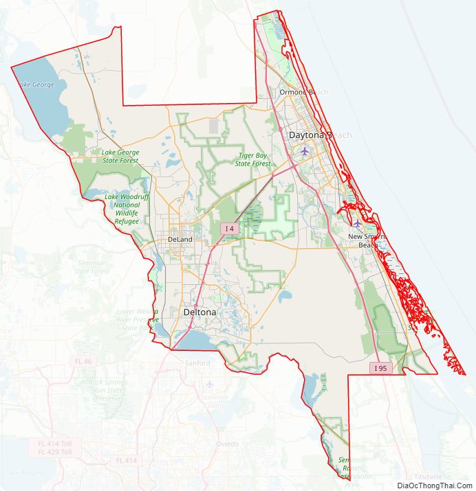
Volusia County Road Map
Geography
According to the U.S. Census Bureau, the county has a total area of 1,432 square miles (3,710 km), of which 1,101 square miles (2,850 km) are land and 331 square miles (860 km) (23.1%) are covered by water.
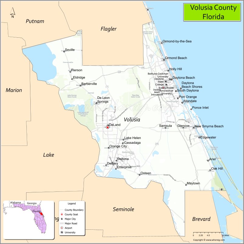
Volusia County is bordered on the west by the St. Johns River and Lake Monroe, and by the Atlantic Ocean to the east. Roughly the size of Rhode Island, Volusia is situated 50 mi (80 km) northeast of Orlando, 60 mi (97 km) north of the Kennedy Space Center, and 89 mi (143 km) south of Jacksonville.
Regions
The Volusia County government divides the county into three regions. This parallels the three calling regions used by BellSouth, the regional phone company:
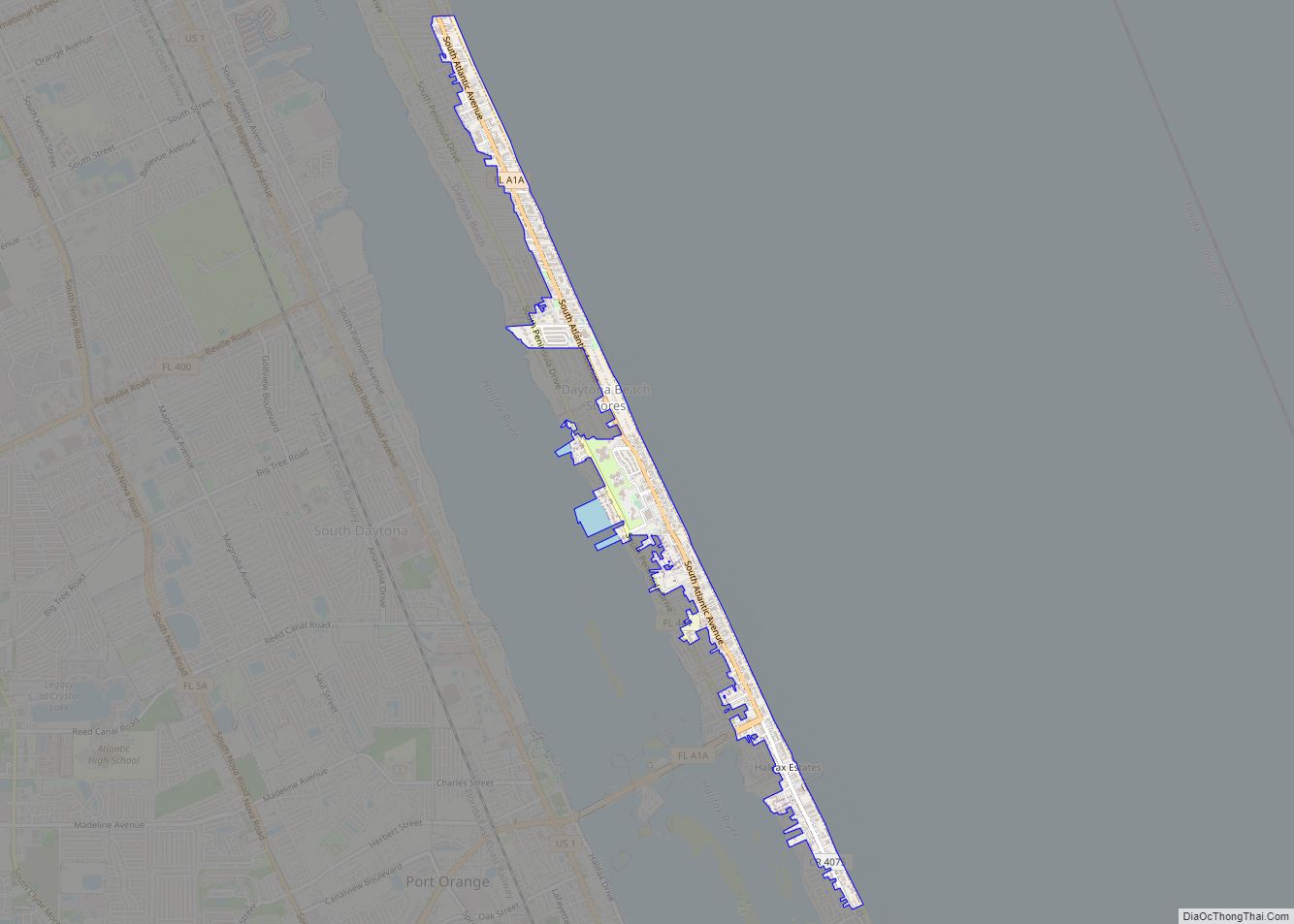
- East Volusia, also known as the greater Daytona Beach area, or the Halifax area (named for the Halifax River that runs through the area), includes the cities of Daytona Beach, Daytona Beach Shores, Holly Hill, Ormond Beach, Ponce Inlet, Port Orange, and South Daytona; and the surrounding unincorporated areas close to these cities.
- Southeast Volusia, also known as the greater New Smyrna Beach area, includes the cities of New Smyrna Beach, Edgewater, and Oak Hill; also the unincorporated areas close to these cities.
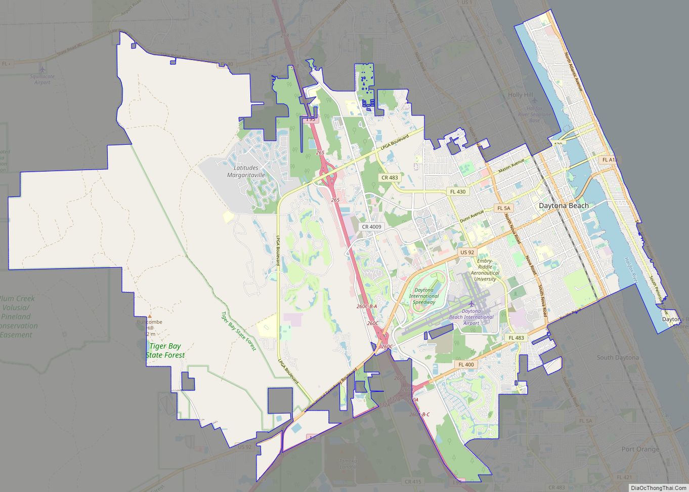
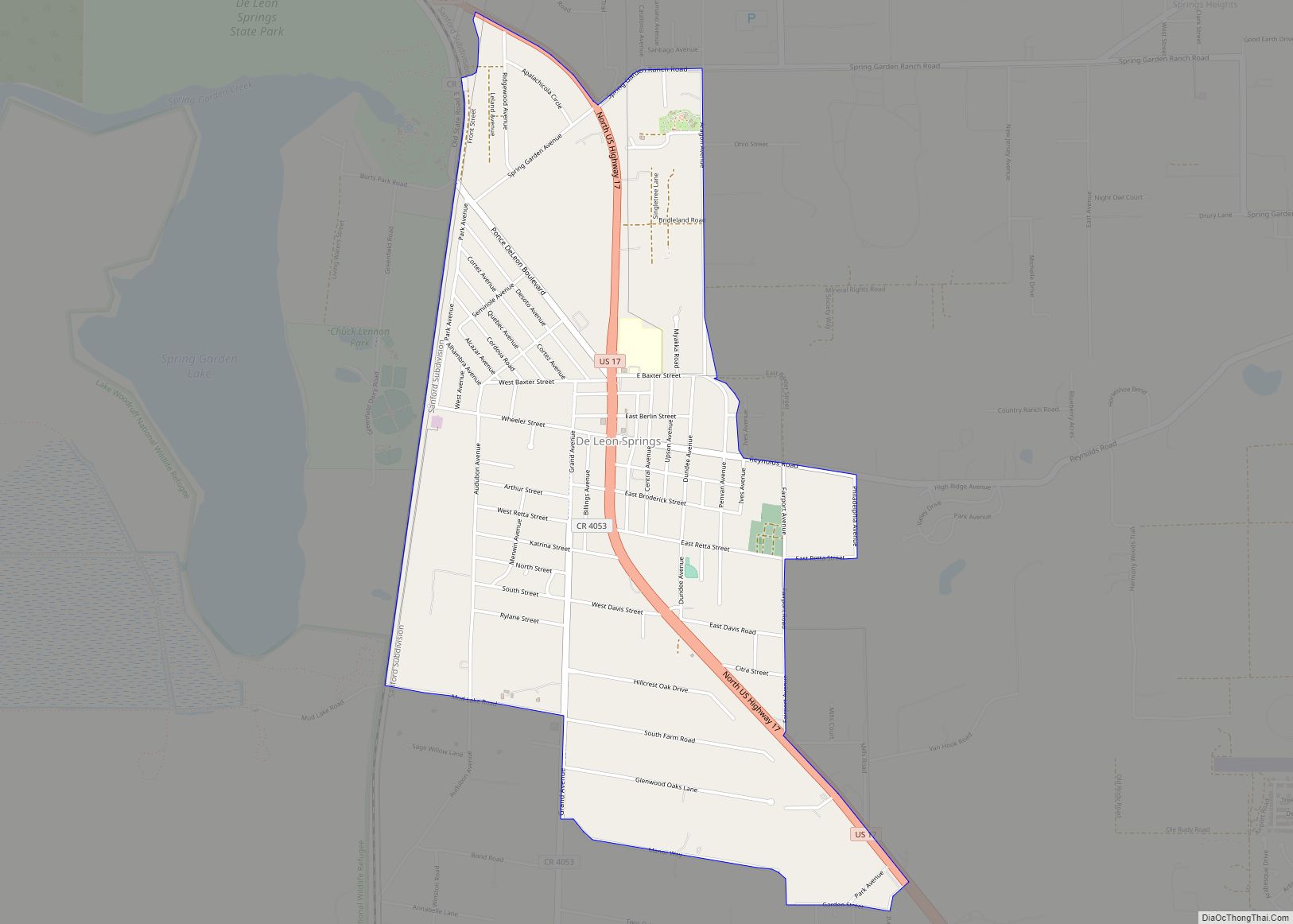
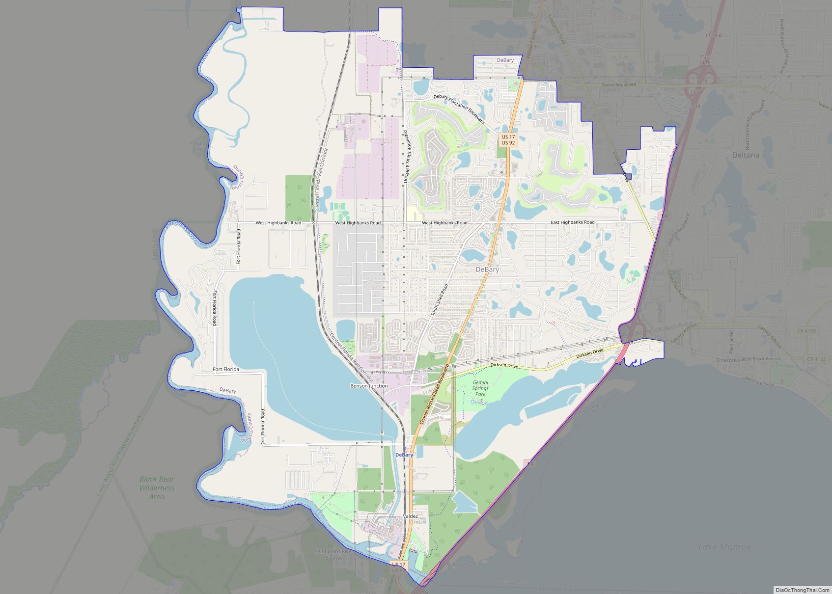
- West Volusia, also called St. Johns River country (named for the St. Johns River, which lies nearby), includes the cities of Barberville, DeBary, DeLand, DeLeon Springs, Deltona, Glenwood, Enterprise, Lake Helen, Orange City, Pierson, and Seville, and the surrounding unincorporated areas close to these cities. Deltona is the largest city in Volusia County.
Adjacent counties
- Flagler County – north
- Brevard County – south
- Seminole County – southwest
- Lake County – west
- Marion and Putnam Counties – northwest
Parks and gardens
- Addison Blockhouse Historic State Park
- Blue Spring State Park
- Bulow Creek State Park
- Canaveral National Seashore
- De Leon Springs State Park
- Dunlawton Plantation and Sugar Mill
- Gemini Springs Park
- Green Springs Park
- Hontoon Island State Park
- Lake Ashby Park
- Lake George State Forest
- Lake Woodruff National Wildlife Refuge
- North Peninsula State Park
- Ormond Beach Memorial Art Museum and Gardens
- Seminole Rest
- Smyrna Dunes Park
- Sugar Mill Ruins
- Tiger Bay State Forest
- Tomoka State Park
Rivers and waterways
- Atlantic Ocean
- Halifax River
- Intracoastal Waterway
- Lake George
- Lake Monroe
- Mosquito Lagoon
- Ponce de León Inlet
- Spruce Creek
- St. Johns River
- Tomoka River
Major attractions
- Athens Theater in DeLand
- Atlantic Center for the Arts in New Smyrna Beach
- Bongoland Ruins in Port Orange
- Daytona International Speedway in Daytona Beach
- Decommissioned DC-7 at Epic Flight Academy in New Smyrna Beach
- Jackie Robinson Ballpark in Daytona Beach
- Marine Science Center in Ponce Inlet
- Museum of Arts and Sciences (Daytona Beach)
- New Smyrna Speedway in New Smyrna Beach
- Ocean Center (convention center) in Daytona Beach
- Old Sugar Mill Grill & Griddle House in DeLeon Springs
- Ormond Memorial Art Museum & Garden in Ormond Beach
- Ponce de Leon Inlet Lighthouse and Museum in Ponce Inlet
- Skydive DeLand at DeLand Airport
- Volusia County Fair and Expo Center in DeLand
- Volusia Speedway Park in Barberville
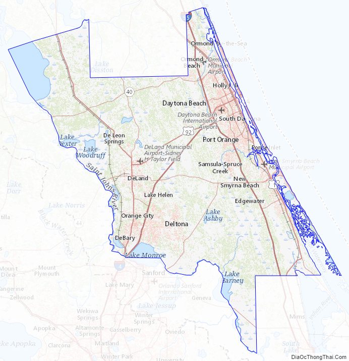
Volusia County Topographic Map
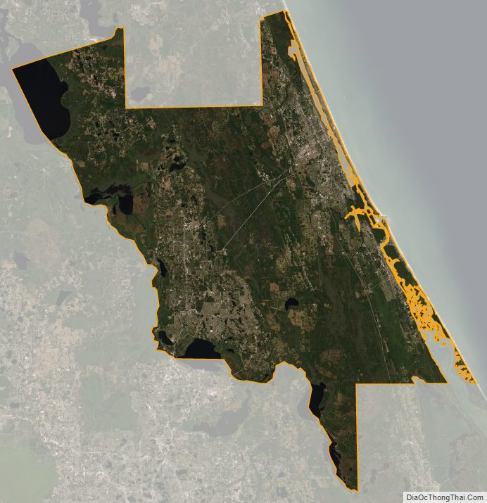
Volusia County Satellite Map
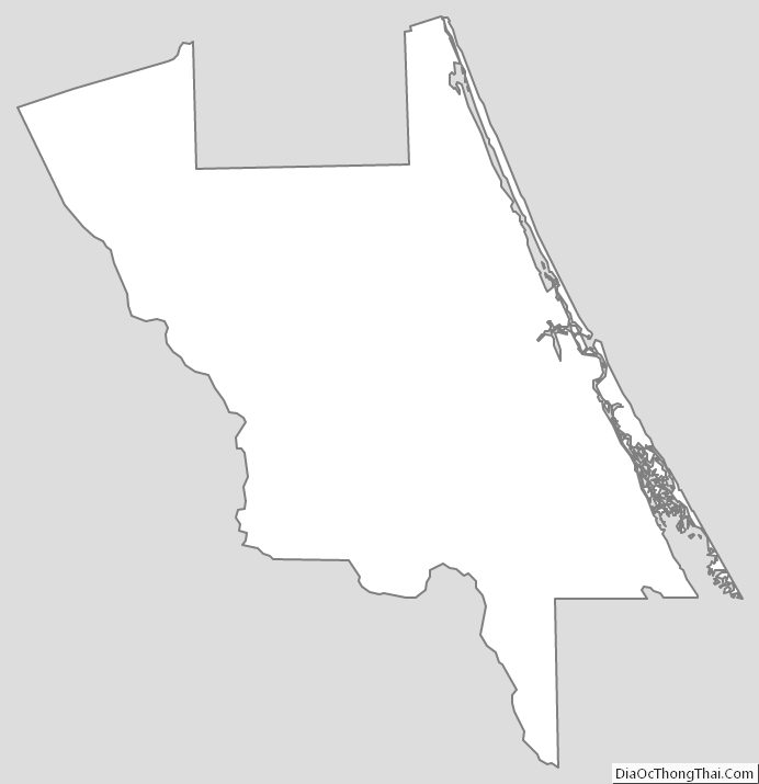
Volusia County Outline Map