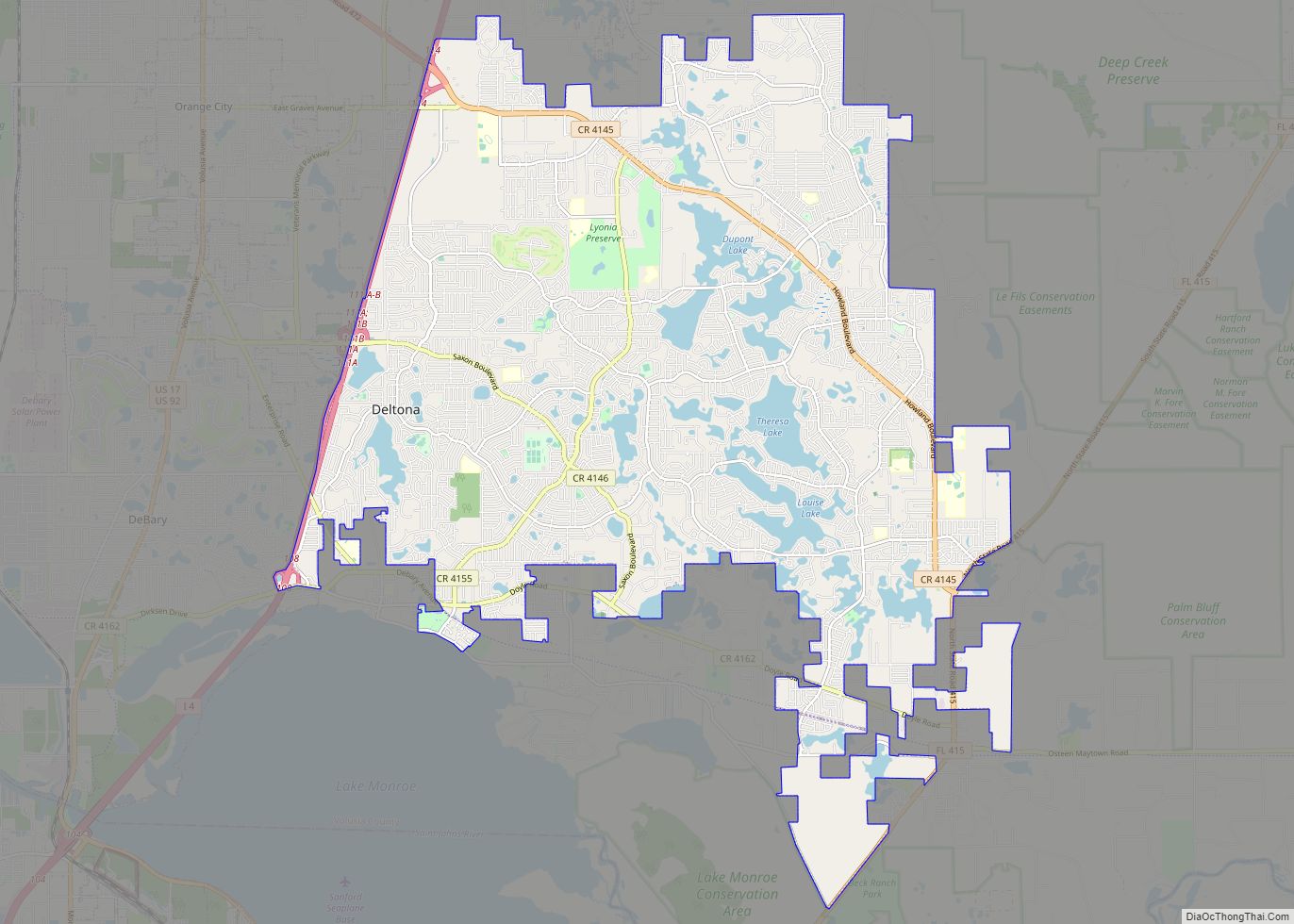
Deltona is a city in Volusia County, Florida, United States. It is located on the northern shore of Lake Monroe along the St. Johns River. As of the 2020 census, the city population was 93,692. It is a principal city of the Deltona–Daytona Beach–Ormond Beach metropolitan area, which was home to an estimated 685,344 people in 2021. It is the third largest city in the Greater Orlando combined statistical area.
The city, previously known as Deltona Lakes, was originally established as a planned residential community, and was master-planned and developed by the General Development Corporation and the Mackle Brothers. Since its opening in 1962, the community rapidly grew from a small subdivision to becoming one of largest cities in Central Florida by the end of the 20th century, largely in part by the Mackle Brothers’ worldwide marketing efforts showcasing small low maintenance homes offered at affordable prices. The city is mostly residential, and primarily serves as a commuter town for the nearby cities of Orlando and Daytona Beach, as well as its surrounding communities.
| Name: | Deltona city |
|---|---|
| LSAD Code: | 25 |
| LSAD Description: | city (suffix) |
| State: | Florida |
| County: | Volusia County |
| Incorporated: | December 31, 1995, as the City of Deltona |
| Elevation: | 33 ft (10 m) |
| Land Area: | 37.32 sq mi (96.67 km²) |
| Water Area: | 3.52 sq mi (9.12 km²) 8.5% |
| Population Density: | 2,510.23/sq mi (969.21/km²) |
| ZIP code: | 32725, 32738 |
| Area code: | 321, 386, 407 and 689 |
| FIPS code: | 1217200 |
| GNISfeature ID: | 0281490 |
| Website: | www.deltonafl.gov |
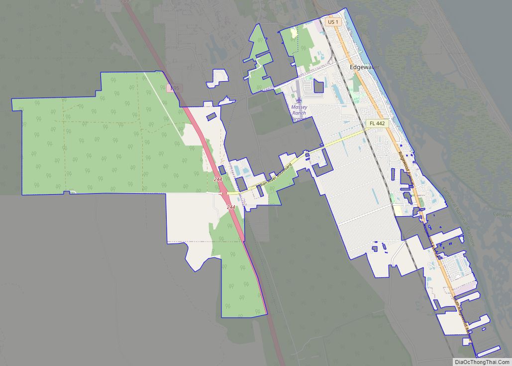
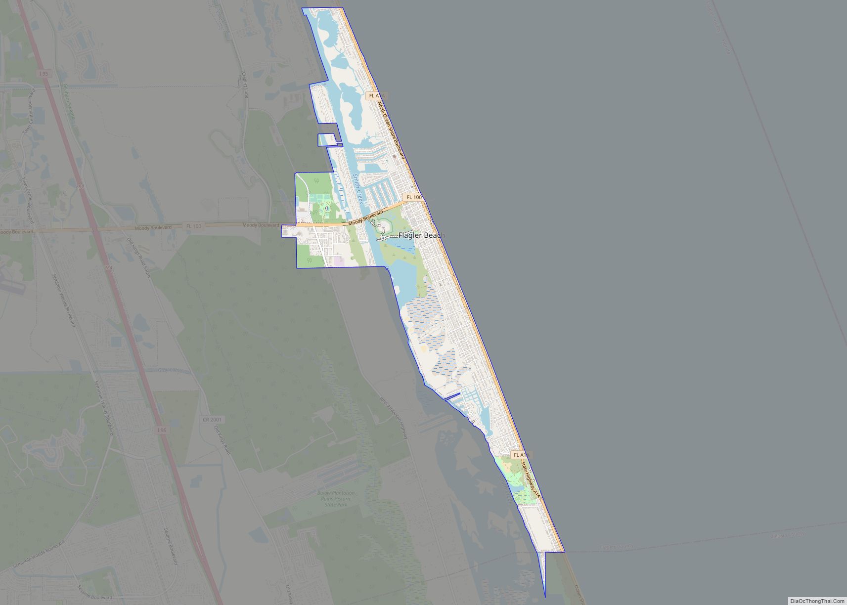
Online Interactive Map
Click on ![]() to view map in "full screen" mode.
to view map in "full screen" mode.
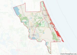
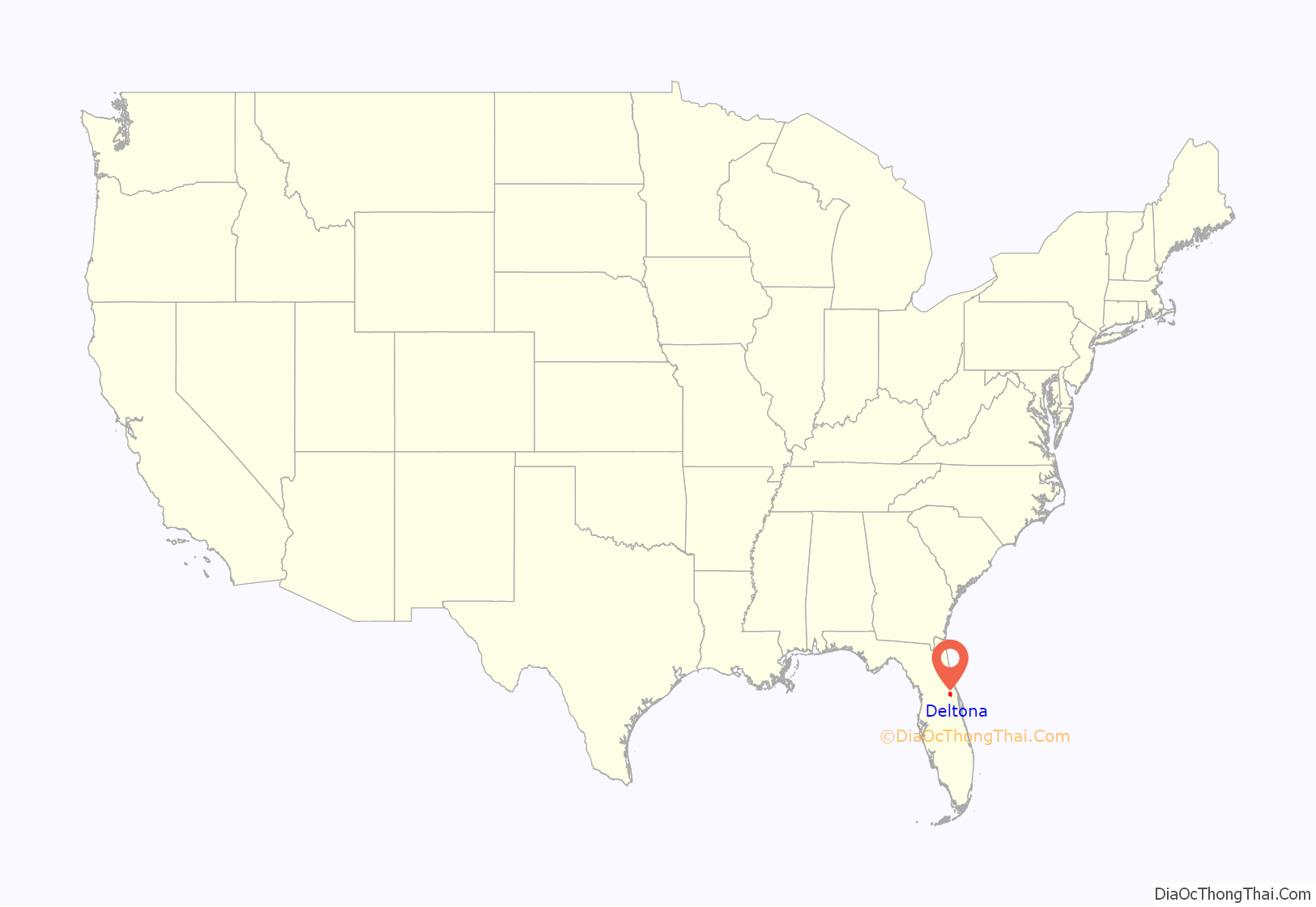
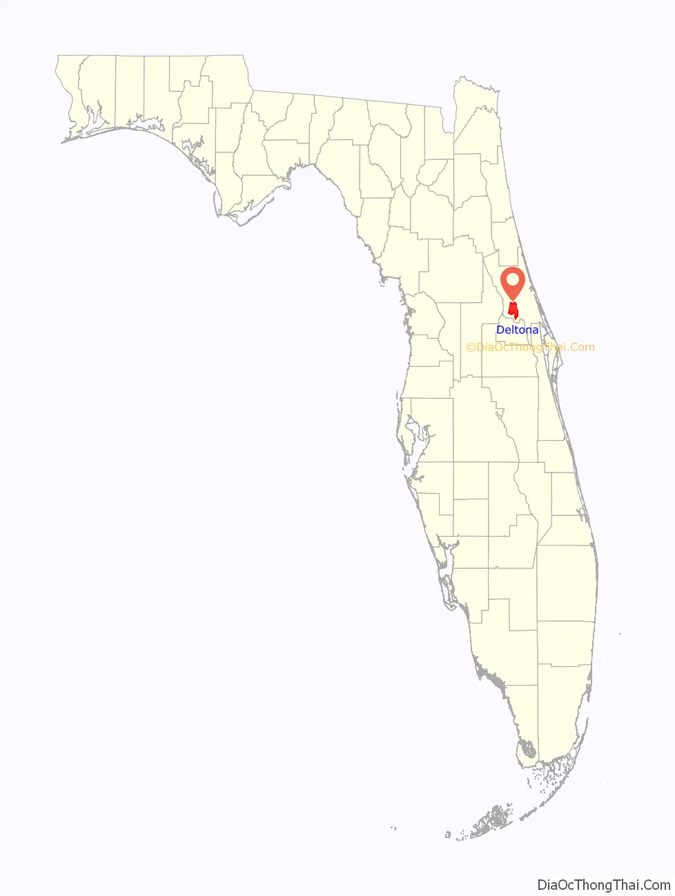
Deltona location map. Where is Deltona city?
History
The area of current Deltona and surrounding communities was originally inhabited by nomadic Timucuans, who found fish and fresh water to be plentiful in the area. After Florida became a state in 1845, steamboats began to make regular trips up the St. Johns River to Lake Monroe. George Sauls, a former secret agent for the Confederacy during the American Civil War, along with his wife Adeline and six children, were the first settlers in the area in 1859. The area was located approximately three miles (4.8 km) north of the community of Osteen. Sauls’ homestead caught fire in 1972, but it would eventually be designated as a historical site by the Volusia County Historical Commission, and the street, originally named Barranca, was renamed George Sauls Street in 1977. It was decommissioned as a historical site in 2000, and its site marker has since been relocated to the nearby Osteen Cemetery, with maintenance overseen by the Volusia County Preservation Board.
What now constitutes the city was originally developed in 1962 as Deltona Lakes by Elliott, Robert and Frank Mackle as a planned residential community through the purchase of 17,203 acres of land. The development would open to potential land buyers on November 18, 1962, and included out-parcels for drainage retention, apartments, churches, parks, commercial centers, an industrial area, a community center, and a golf course. Deltona Lakes was heavily marketed throughout the United States, including Ohio, Illinois, Indiana and Michigan. Sales representatives would also market in places such as Germany, Puerto Rico, Latin America and the Far East.
By November 1965, just one year after its opening, Deltona Lakes grew to a population of nearly 1,600, nearly 1,000 homes were built or under construction, and had more than 120 miles of paved roads or roads being surfaced. By September 1966, Deltona Lakes came to attract more families, growing to a population of 2,413, and a student enrollment of more than 200, resulting in soaring property sales of up to US$60 million. In April 1967, more than 30 civic, social, charitable and fraternal clubs would form, including a civic association, a men’s and women’s golf association, a shuffle board club, and a bicycle club. By 1970, Deltona Lakes had an estimated population of 4,868 and would continue to grow in population throughout the 1970s and 1980s, reaching a population of 51,828 by 1990.
The residents of Deltona Lakes attempted to incorporate it as a city in 1987 and 1990, but were not successful until 1995. A city charter was adopted on September 9, 1995, and a seven-member city commission was elected. Deltona Lakes was incorporated as a city on December 31, 1995, with its name shortened to Deltona.
By 2000, the city grew to a population of 69,543 people, surpassing Daytona Beach as the most populous city in Volusia County. After the city’s incorporation, regular city meetings would be held on the second floor of the now-defunct SouthTrust Bank building on Deltona Boulevard, until the first city hall began construction in 2001. The US$7 million project would complete for opening on March 16, 2002. On December 3, 2002, ground broke for the development of the Deltona satellite campus of Daytona State College (then known as Daytona Beach Community College), adjacent to Deltona City Hall. The campus opened in August 2004.
On August 6, 2004, four men broke into a home and beat six people and a dog to death with baseball bats, making it the deadliest mass murder in Volusia County history.
In recent years, new measures have been taken by city officials to begin attracting new businesses and industries into the city. Specially zoned areas in the city have been designated to allow for the development of upscale office facilities, light industrial space, health care facilities, warehousing and distribution facilities, commercial recreational facilities, and lodging services.
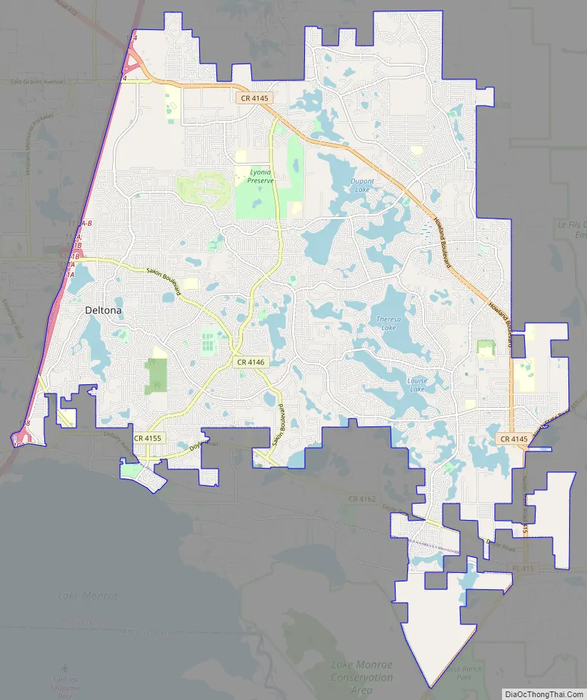
Deltona Road Map
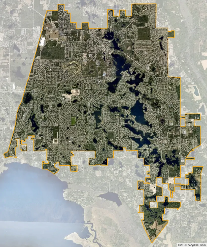
Deltona city Satellite Map
Geography
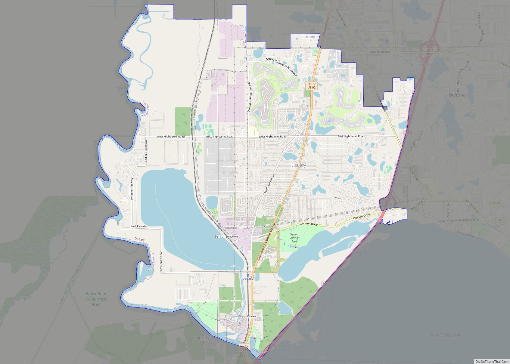
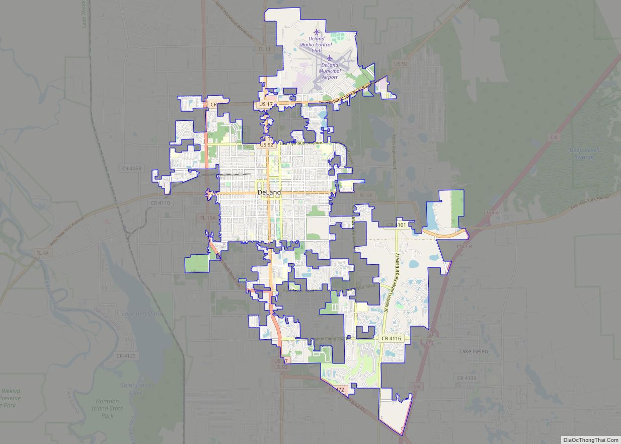
Deltona is located in southwestern Volusia County in Central Florida approximately 25 miles (40 km) inland from the Atlantic Ocean, halfway between Daytona Beach and Orlando. It is bordered by Lake Helen and Cassadaga on the north, DeLand on the northwest, Orange City on the west, DeBary on the southwest, Enterprise on the south, and Osteen on the southeast. It is included in the Deltona–Daytona Beach–Ormond Beach Metropolitan Statistical Area and the larger Orlando–Lakeland–Deltona Combined Statistical Area.
The majority of the land in the city is of karst topography, characterized by rolling hills and an abundant amount of lakes. The St. Johns River passes through Lake Monroe, directly south of the city. The United States Geological Survey lists the city’s elevation at 33 feet (10 m) above sea level at a point near Deltona’s geographic center. Elevations range from 20 feet (6.1 m) to 112 feet (34 m) above sea level. As of 2010, according to the United States Census Bureau, the city has a total area of 41.1 square miles (106.4 km), 37.5 square miles (97.1 km) of which is land and 3.5 square miles (9.1 km) of which is water.
Deltona’s climate is classified as a humid subtropical climate in the Cfa Köppen climate classification, meaning it typically has hot, humid summers and mild winters. The record high temperature is 103 °F (39 °C) recorded in July 1998, with a record low of 19 °F (−7 °C) recorded in January 1985. Rainfall averages around 53 inches (1,300 mm) a year, with the wettest months being June through September. The hurricane season lasts from June 1 to November 30, with September as the most susceptible month to hurricanes. The most powerful hurricane to strike Deltona since its incorporation was Charley in 2004, during which the eye of the hurricane passed directly over the city; that same year, the city would also suffer from the effects of hurricanes Frances and Jeanne.
See also
Map of Florida State and its subdivision:- Alachua
- Baker
- Bay
- Bradford
- Brevard
- Broward
- Calhoun
- Charlotte
- Citrus
- Clay
- Collier
- Columbia
- Desoto
- Dixie
- Duval
- Escambia
- Flagler
- Franklin
- Gadsden
- Gilchrist
- Glades
- Gulf
- Hamilton
- Hardee
- Hendry
- Hernando
- Highlands
- Hillsborough
- Holmes
- Indian River
- Jackson
- Jefferson
- Lafayette
- Lake
- Lee
- Leon
- Levy
- Liberty
- Madison
- Manatee
- Marion
- Martin
- Miami-Dade
- Monroe
- Nassau
- Okaloosa
- Okeechobee
- Orange
- Osceola
- Palm Beach
- Pasco
- Pinellas
- Polk
- Putnam
- Saint Johns
- Saint Lucie
- Santa Rosa
- Sarasota
- Seminole
- Sumter
- Suwannee
- Taylor
- Union
- Volusia
- Wakulla
- Walton
- Washington
- Alabama
- Alaska
- Arizona
- Arkansas
- California
- Colorado
- Connecticut
- Delaware
- District of Columbia
- Florida
- Georgia
- Hawaii
- Idaho
- Illinois
- Indiana
- Iowa
- Kansas
- Kentucky
- Louisiana
- Maine
- Maryland
- Massachusetts
- Michigan
- Minnesota
- Mississippi
- Missouri
- Montana
- Nebraska
- Nevada
- New Hampshire
- New Jersey
- New Mexico
- New York
- North Carolina
- North Dakota
- Ohio
- Oklahoma
- Oregon
- Pennsylvania
- Rhode Island
- South Carolina
- South Dakota
- Tennessee
- Texas
- Utah
- Vermont
- Virginia
- Washington
- West Virginia
- Wisconsin
- Wyoming