Oak Hill is a city in Volusia County, Florida, United States. The population was 1,792 at the 2010 census.
| Name: | Oak Hill city |
|---|---|
| LSAD Code: | 25 |
| LSAD Description: | city (suffix) |
| State: | Florida |
| County: | Volusia County |
| Elevation: | 13 ft (4 m) |
| Total Area: | 11.19 sq mi (28.98 km²) |
| Land Area: | 6.72 sq mi (17.40 km²) |
| Water Area: | 4.47 sq mi (11.58 km²) |
| Total Population: | 1,986 |
| Population Density: | 295.54/sq mi (114.11/km²) |
| ZIP code: | 32759 |
| Area code: | 386 |
| FIPS code: | 1250450 |
| GNISfeature ID: | 0287965 |
| Website: | www.oakhillfl.com |
Online Interactive Map
Click on ![]() to view map in "full screen" mode.
to view map in "full screen" mode.
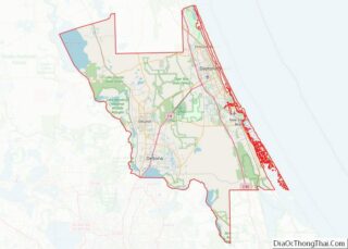
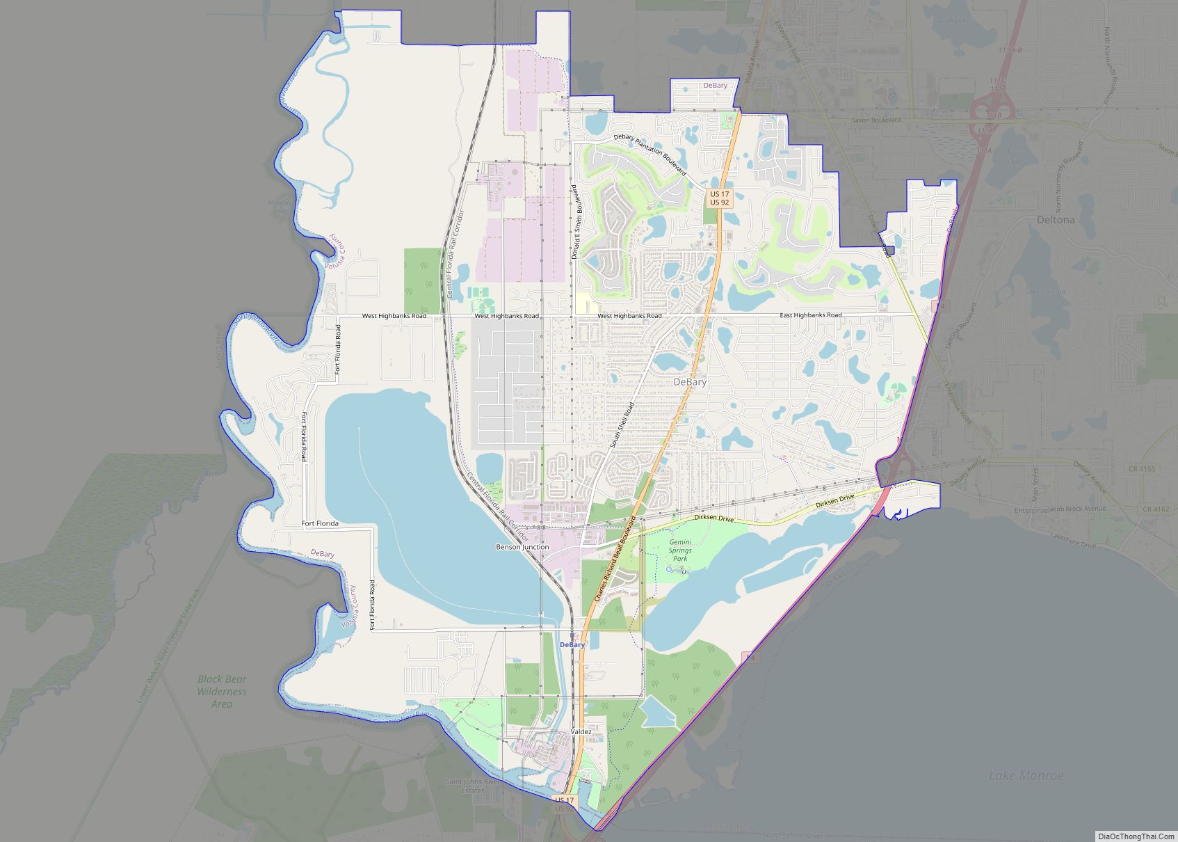
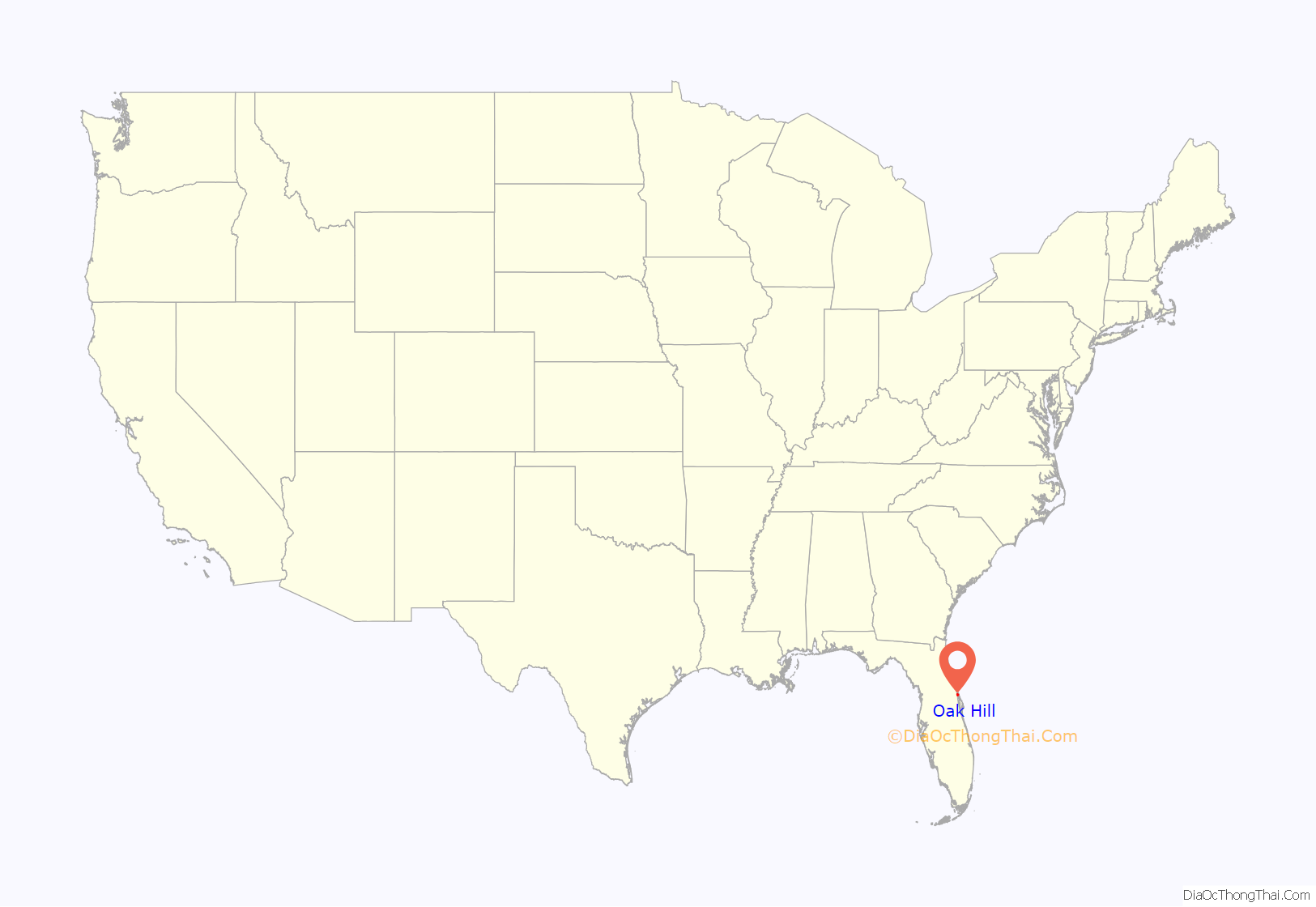
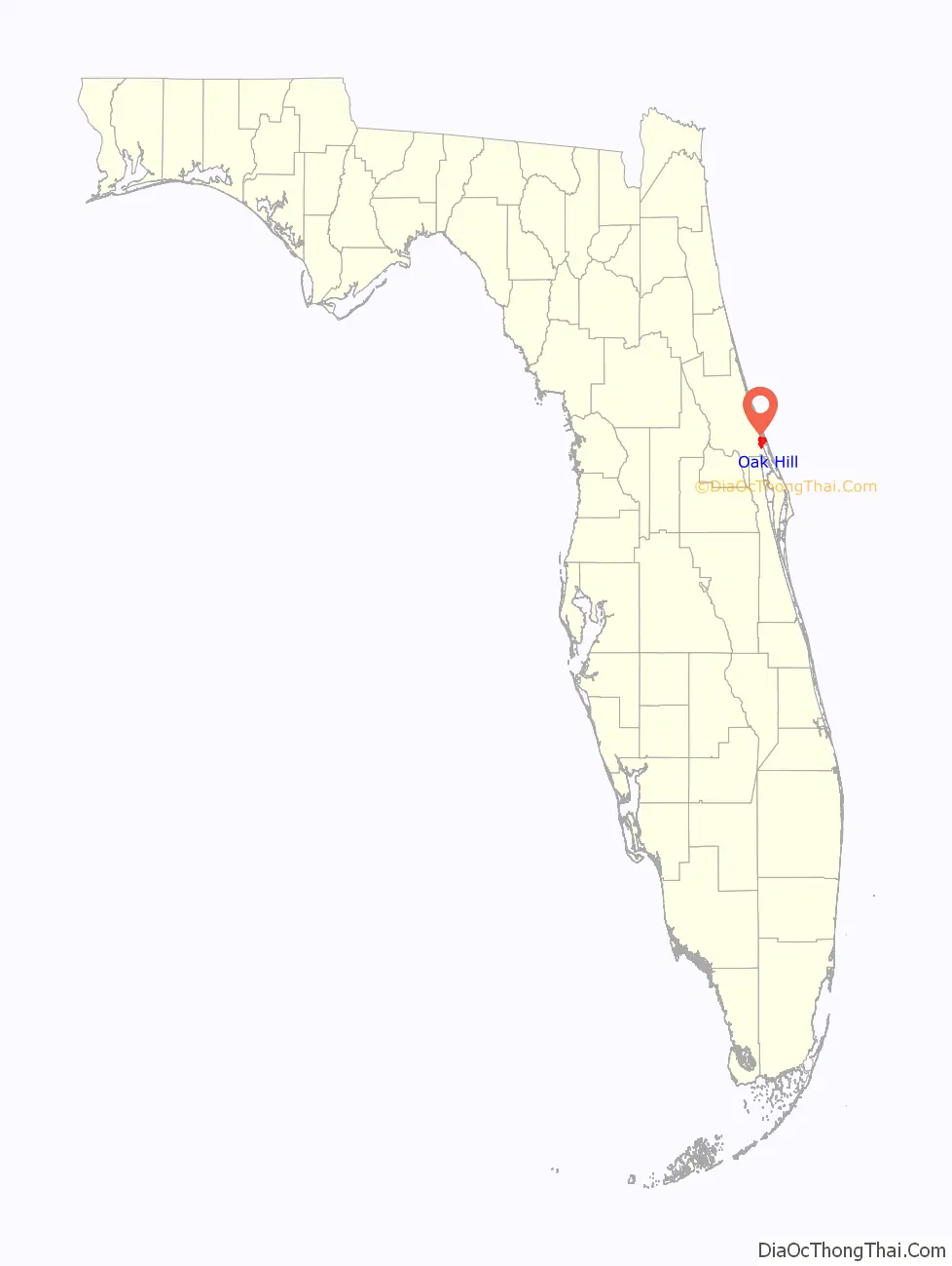
Oak Hill location map. Where is Oak Hill city?
History
The first inhabitants of what would become Oak Hill were the Timucuan Indians, who lived along the shore from c. 2000 BCE to 1500 CE, when European settlers started to arrive. In 1564, the French illustrator, Jacques LeMoyne, made a map showing an Indian village named Surruque el Viejo near el Baradero de Suroc. The name “Oak Hill” seems to have been first used by seasonal northern loggers c. 1850.
Florida became a state in 1845, and British and American permanent settlers started to arrive. They began to displace the various tribes, including the Seminoles, who fought back. One Seminole War raid in 1856 resulted in four deaths. A resident, Arad Shelton, took their bodies north to New Smyrna Beach by wagon.
By the Civil War, Oak Hill had a salt works, some part-time stores, and the first orange groves had been planted (by a Mr. Mitchell). Oak Hill also has Civil War veterans buried in the local cemetery: five who fought for the Union, and six who fought for the Confederacy.
Hotels, stores, a post office, and a school operated by Rev. Wicks in the Congregational church served a few white students in the morning and several black students in the afternoon. A public school for white students was constructed in the early 1890s, and a prominent black freedman, Bill Williams, provided instruction and space for black students in 1901. A public school for black students was constructed in 1927.
In 1924, a grade 1 through 10 school was built on Ridge Road, just to the east of Dixie Highway (now US-1), which was paved the same year. This building was replaced in 1960 by a new structure, which eventually became the W.F. Burns Elementary School. In 2008, the county school board closed the school (citing budget cuts) and slated it for demolition. County work crews stripped the facility of anything of value.
The non-profit Oak Hill Community Trust, with the assistance and guidance of local architect Sid Corhern, Tom Gibbs, and many, many other concerned citizens purchased the property from the county school board in late 2009. A charter school operator was contacted and after voluminous paperwork, was approved in January 2011.
Beginning in September 2010, hundreds of volunteers gave thousands of hours of their time to refurbish the buildings. They did plumbing, electrical, painting, landscaping and much more, often with donated materials. The school opened in August 2011, with 260 students enrolled.
In 2012, Kennedy Space Center donated a surplus 10,000 square foot office building to the school, on condition that it had to be moved from KSC without delay. Again, volunteers stepped forward and the building was delivered (in eight sections) to the site, reassembled, refurbished as classrooms, and is now in use.
The school is a STEM (Science, Technology, Engineering, Math) school, and after only two years of operation, has already achieved a “B” rating. As of 2014, there are 385 students in grades K through 8, many are local, and some come from as far away as Ormond Beach and Orange City.
In the past, citrus growing and commercial fishing were the primary income sources for residents of Oak Hill. A series of hard freezes, cold snaps and the advent of citrus canker have greatly reduced the number of citrus groves, and by 1995 the State of Florida’s Gill Net Ban eliminated most of the fishing business. There are several fish, clam and oyster farms in operation.
There is a significant amount of recreational fishing and eco-tourism, and Oak Hill is one terminus for the Florida “River of Lakes” scenic highway. Several regional bicycle paths traverse Oak Hill, and seeing groups of dozens of recreational touring cyclists is quite common. East of the town’s center, on the edge of Mosquito Lagoon is Seminole Rest National Historic Site, part of Canaveral National Seashore.
Oak Hill has been designated as an “Enterprise Zone” by the State of Florida. There are various tax rebates and incentives available to new businesses locating here and for the expansion of exiting businesses. City government is “business friendly” with a very low paperwork burden for businesses and minimal license fees. Additionally, business owners over the age of 65 get or renew their city licenses for free.
The City of Oak Hill was first chartered in 1927. Local government was based on a Mayor-Commission, with each commissioner functioning as head of a municipal department. The city was disbanded in 1930. The country was in a depression, and the city petitioned the government to inactivate the charter, which was granted. The city later petitioned the government in 1962 to reactivate the charter.
Clarence Goodrich was the city’s mayor from 1963 to 1989, the longest term any mayor has held in the state of Florida. Bobby Greatrex was mayor from 1989 to 1990, and Bruce Burch served from 1990 to 1994. Toreatha Wood became the city’s first female mayor, as well as first African-American female mayor, serving from 1999 to 2000. Darry Evans was the first African American male mayor. Lorna Travis was mayor from 2000 to 2001, Susan Cook was mayor from 2001 to 2002, and Bob Jackson was mayor in 2002. Mayor Darla Lauer resigned for personal reasons, and was replaced by Mary Lee Cook. The current mayor is Douglas Gibson, who was elected in November 2012.
On the evening of August 1, 2011, the city commission voted to disband the city’s police department due to ongoing acrimony, personality conflicts and policy disagreements between the city commissioners and the police department. All nine employees received unemployment benefits. The Volusia County Sheriff’s Department assumed law enforcement duties for the city.
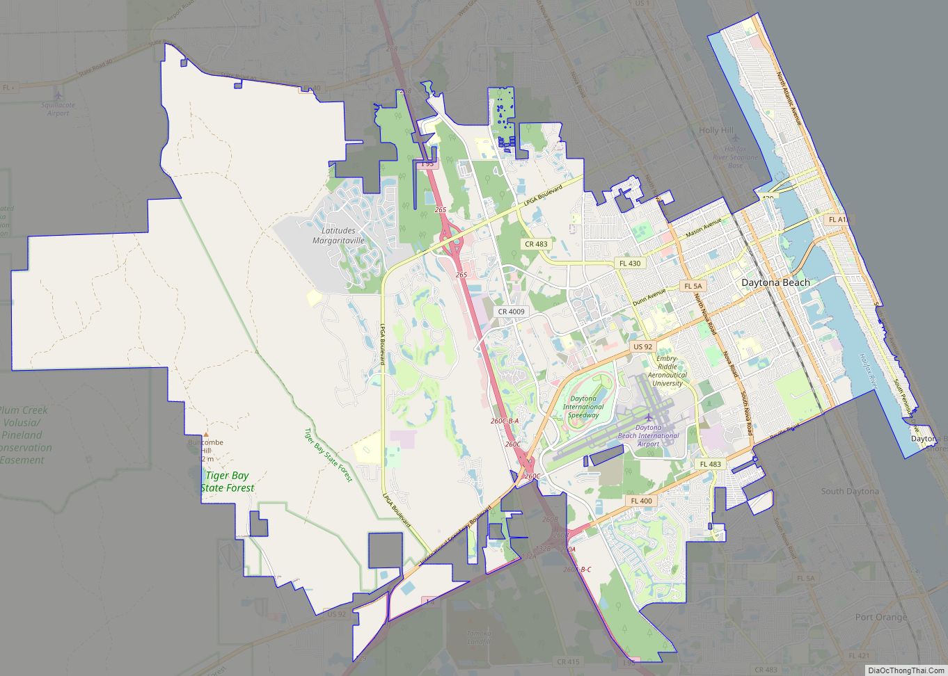
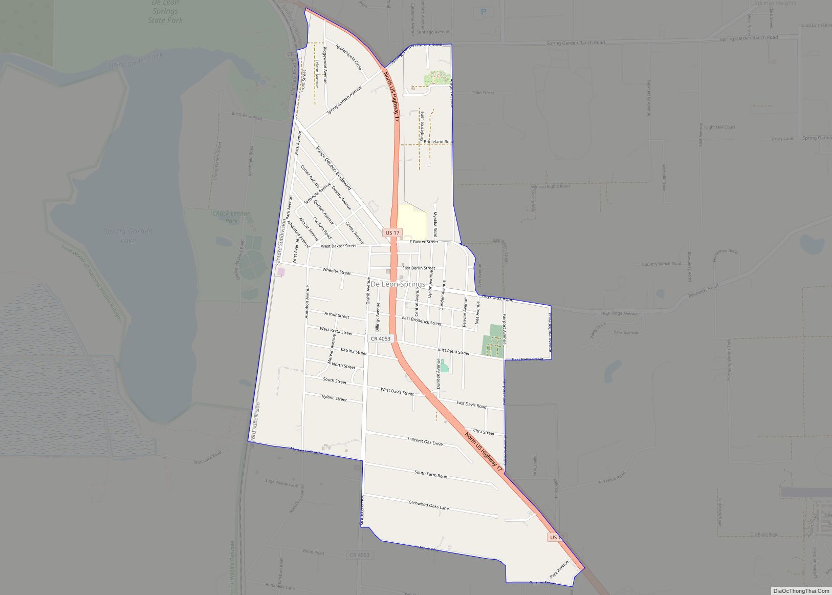
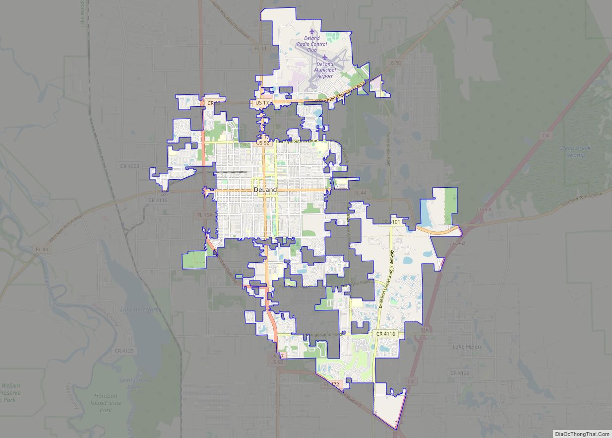
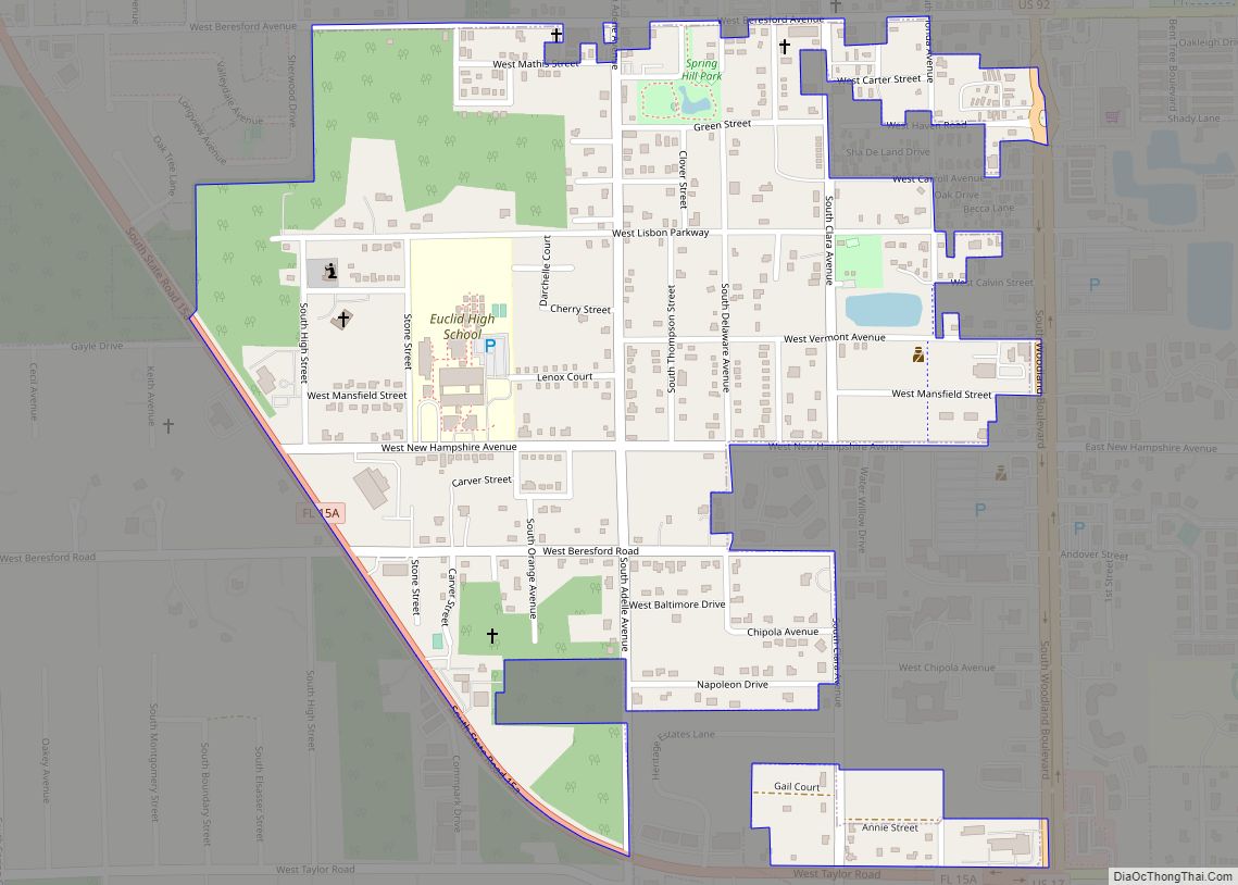
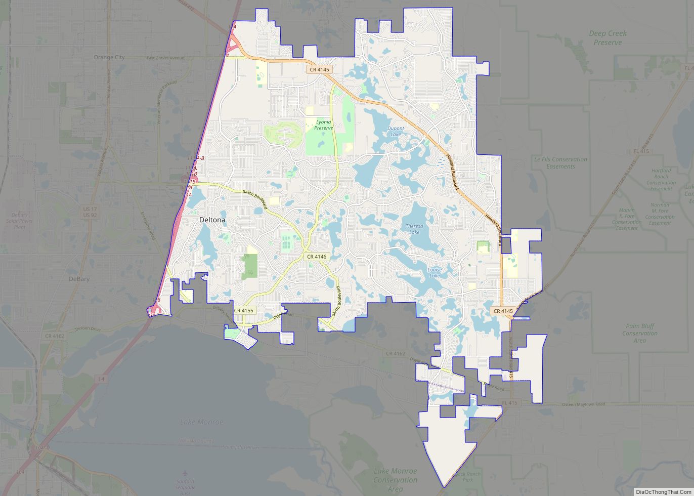
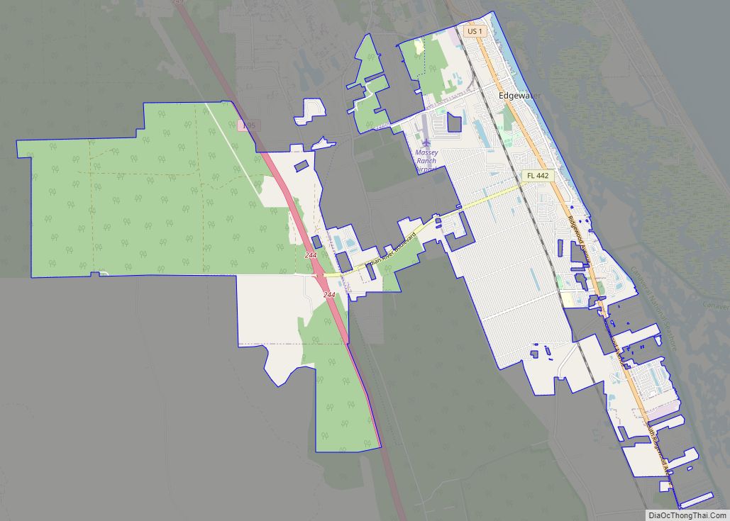
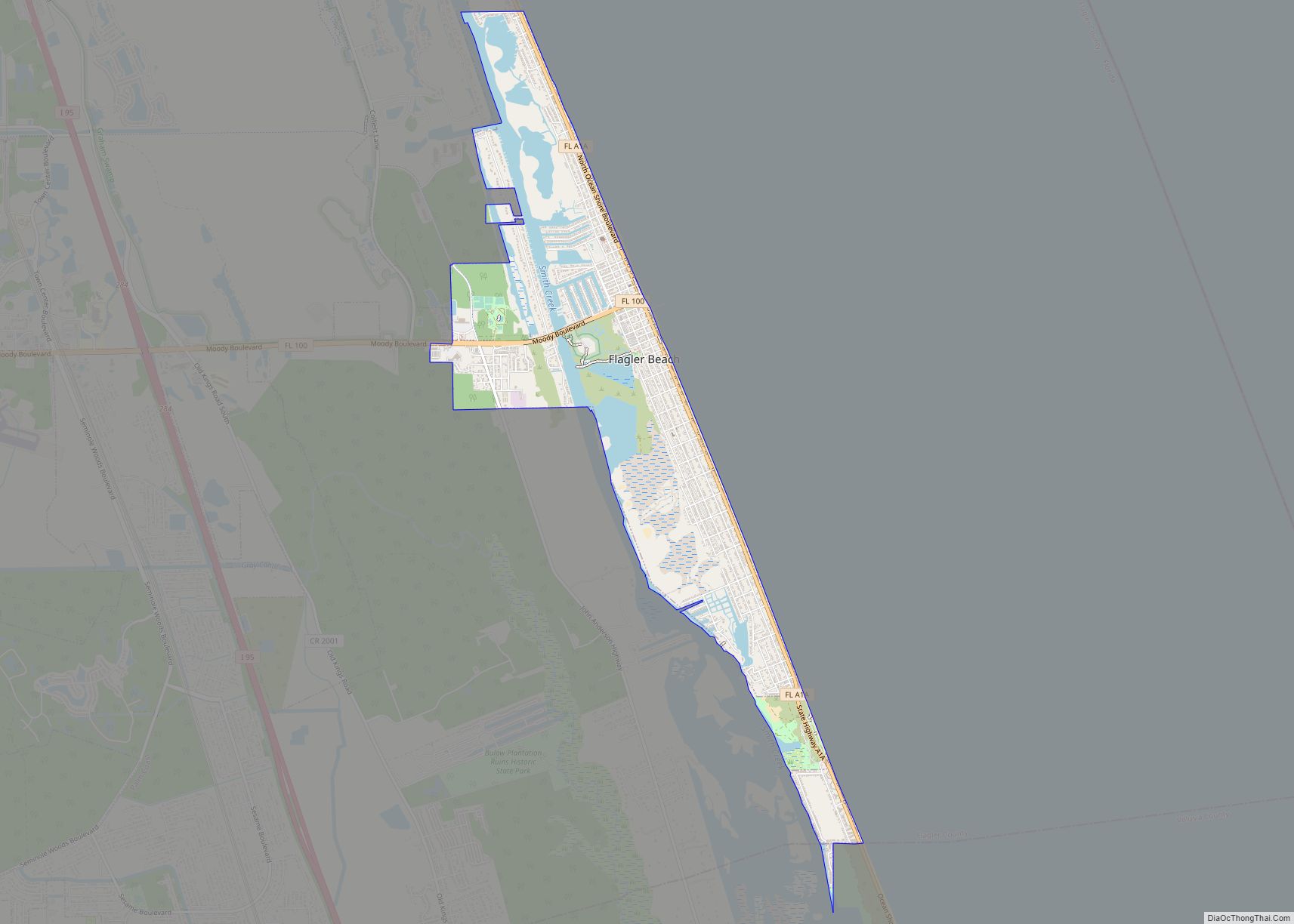
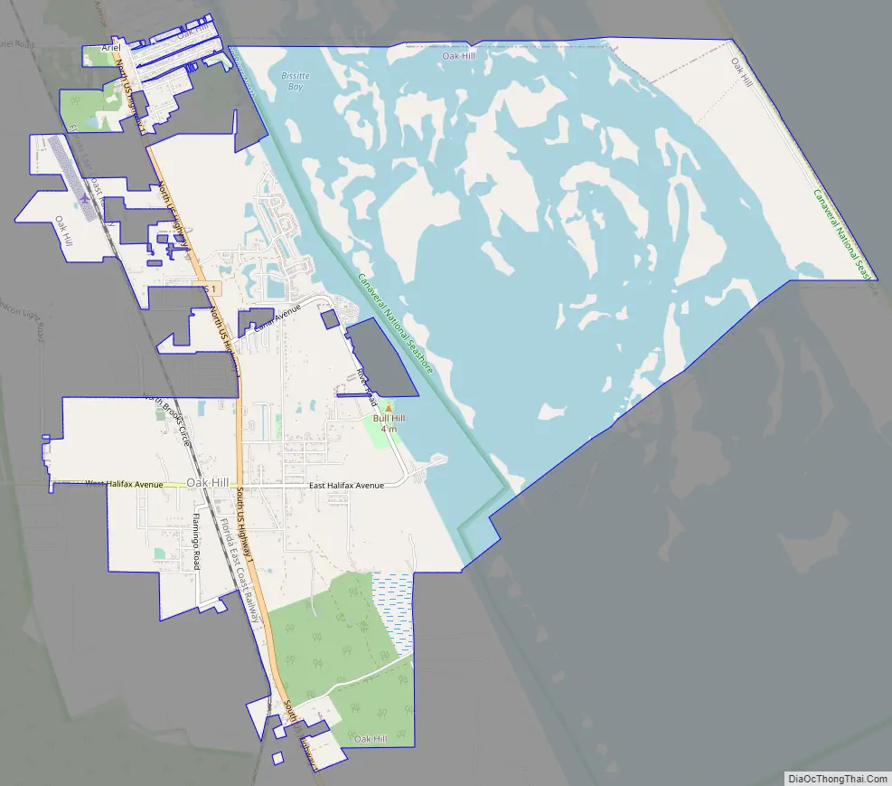
Oak Hill Road Map
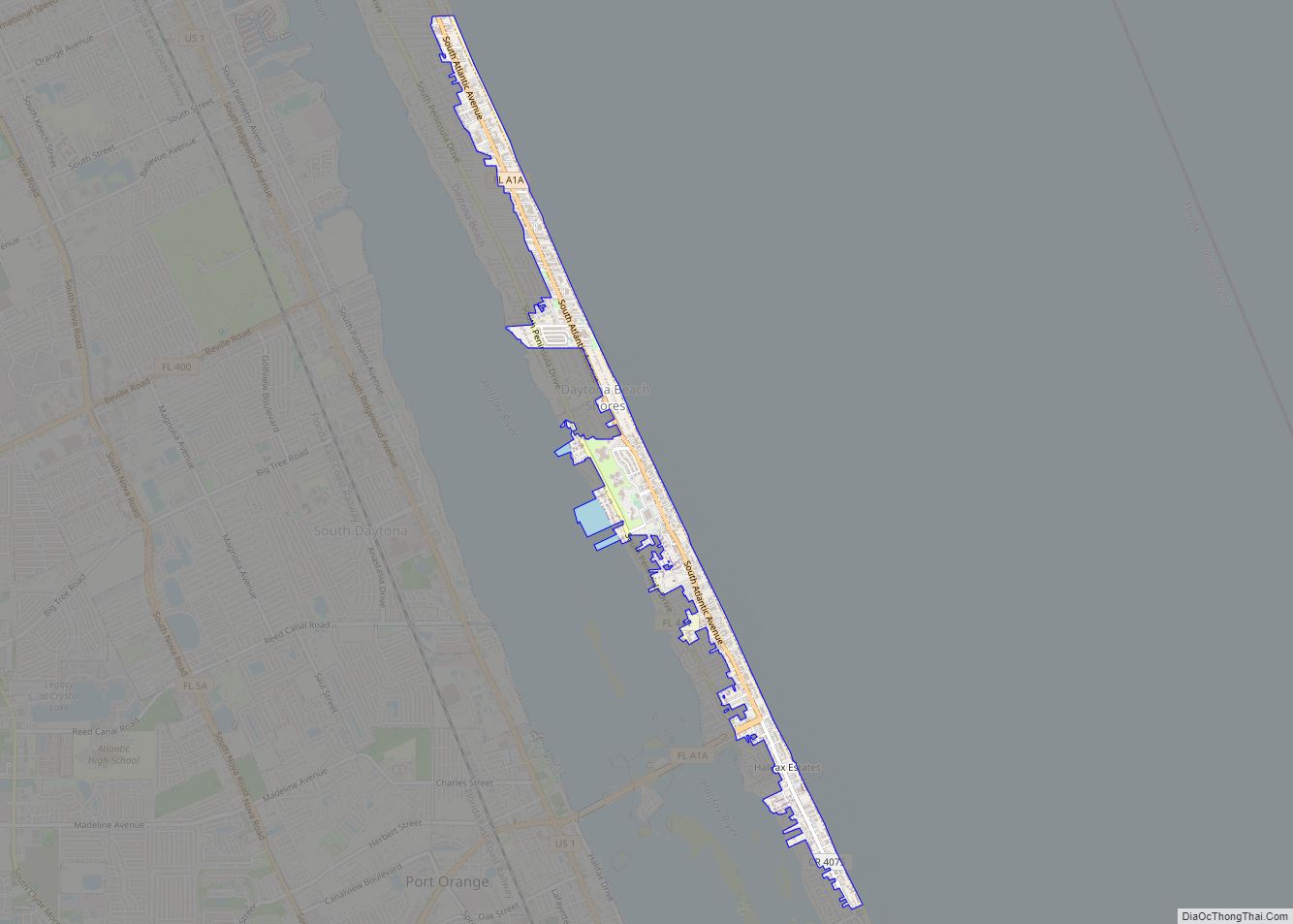
Oak Hill city Satellite Map
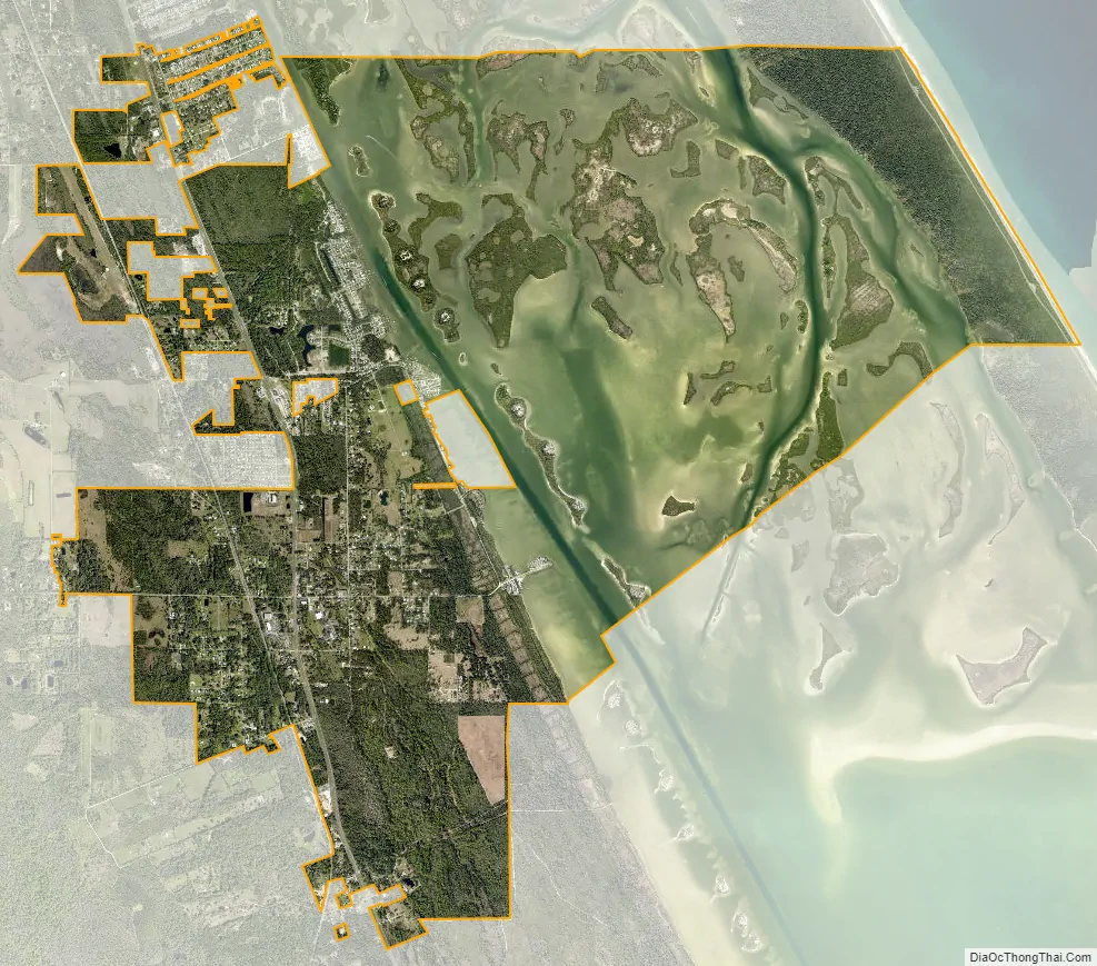
Geography
Oak Hill is a city on the Atlantic coastline of Volusia County. It is located at 28°53′05″N 80°50′49″W / 28.884832°N 80.846836°W / 28.884832; -80.846836.
According to the United States Census Bureau, the city has a total area of 11.7 square miles (30.3 km), of which 6.6 square miles (17.0 km) is land and 5.1 square miles (13.2 km) (43.75%) is water.
See also
Map of Florida State and its subdivision:- Alachua
- Baker
- Bay
- Bradford
- Brevard
- Broward
- Calhoun
- Charlotte
- Citrus
- Clay
- Collier
- Columbia
- Desoto
- Dixie
- Duval
- Escambia
- Flagler
- Franklin
- Gadsden
- Gilchrist
- Glades
- Gulf
- Hamilton
- Hardee
- Hendry
- Hernando
- Highlands
- Hillsborough
- Holmes
- Indian River
- Jackson
- Jefferson
- Lafayette
- Lake
- Lee
- Leon
- Levy
- Liberty
- Madison
- Manatee
- Marion
- Martin
- Miami-Dade
- Monroe
- Nassau
- Okaloosa
- Okeechobee
- Orange
- Osceola
- Palm Beach
- Pasco
- Pinellas
- Polk
- Putnam
- Saint Johns
- Saint Lucie
- Santa Rosa
- Sarasota
- Seminole
- Sumter
- Suwannee
- Taylor
- Union
- Volusia
- Wakulla
- Walton
- Washington
- Alabama
- Alaska
- Arizona
- Arkansas
- California
- Colorado
- Connecticut
- Delaware
- District of Columbia
- Florida
- Georgia
- Hawaii
- Idaho
- Illinois
- Indiana
- Iowa
- Kansas
- Kentucky
- Louisiana
- Maine
- Maryland
- Massachusetts
- Michigan
- Minnesota
- Mississippi
- Missouri
- Montana
- Nebraska
- Nevada
- New Hampshire
- New Jersey
- New Mexico
- New York
- North Carolina
- North Dakota
- Ohio
- Oklahoma
- Oregon
- Pennsylvania
- Rhode Island
- South Carolina
- South Dakota
- Tennessee
- Texas
- Utah
- Vermont
- Virginia
- Washington
- West Virginia
- Wisconsin
- Wyoming