Ponce Inlet is a town in Volusia County, Florida, United States. The population was 3,032 at the 2010 census.
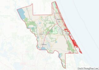
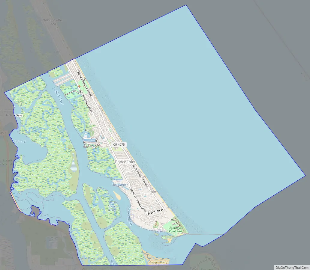
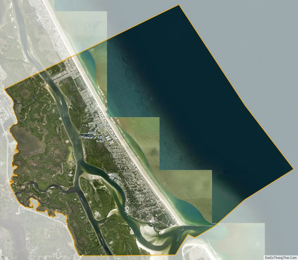
The town of Ponce Inlet is located on the southern tip of a barrier island, south of Daytona Beach and Daytona Beach Shores.
Several marinas are located in Ponce Inlet. The community is known for its strict land use regulations.
| Name: | Ponce Inlet town |
|---|---|
| LSAD Code: | 43 |
| LSAD Description: | town (suffix) |
| State: | Florida |
| County: | Volusia County |
| Incorporated: | 1963 |
| Elevation: | 13 ft (4 m) |
| Total Area: | 14.75 sq mi (38.21 km²) |
| Land Area: | 4.49 sq mi (11.62 km²) |
| Water Area: | 10.27 sq mi (26.59 km²) |
| Total Population: | 3,364 |
| Population Density: | 750.06/sq mi (289.62/km²) |
| ZIP code: | 32127 |
| Area code: | 386 |
| FIPS code: | 1258200 |
| GNISfeature ID: | 0289178 |
| Website: | ponce-inlet.org |
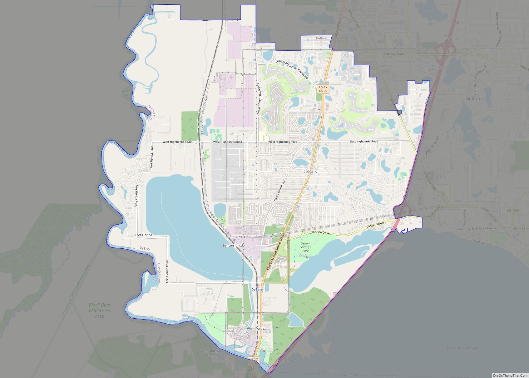
Online Interactive Map
Click on ![]() to view map in "full screen" mode.
to view map in "full screen" mode.
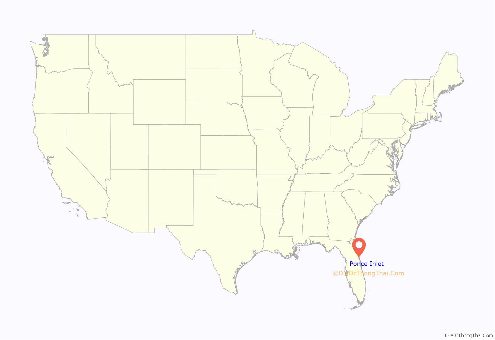
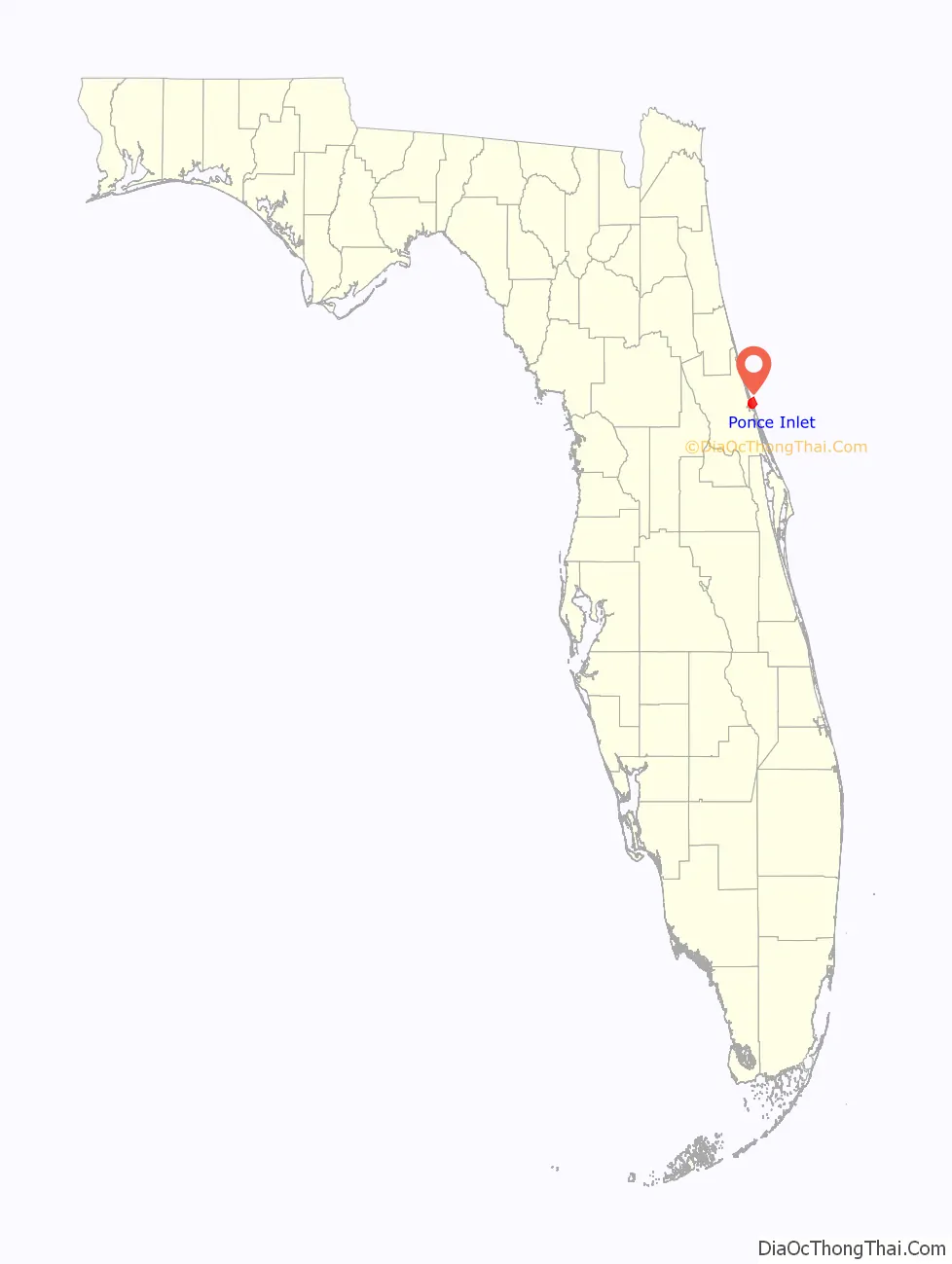
Ponce Inlet location map. Where is Ponce Inlet town?
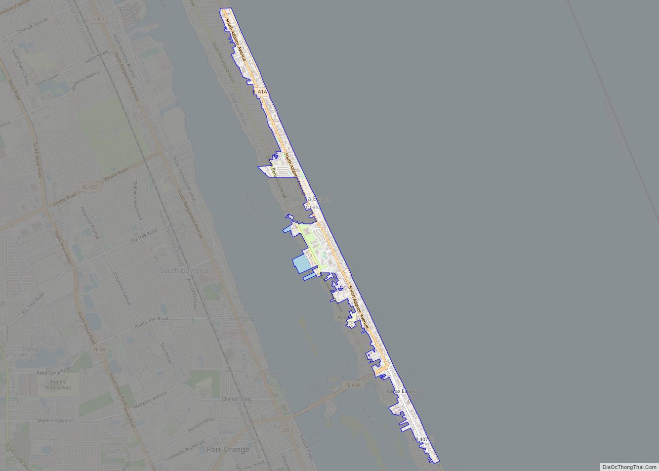
Ponce Inlet Road Map
Ponce Inlet city Satellite Map
Geography
Ponce Inlet lies on a peninsula at 29°5′41″N 80°56′33″W / 29.09472°N 80.94250°W / 29.09472; -80.94250 (29.094744, –80.942599), adjacent to the Ponce de León Inlet, and between the Halifax River and Atlantic Ocean.
According to the United States Census Bureau, the town has a total area of 14.7 square miles (38 km), of which 4.3 square miles (11 km) is land and 10.3 square miles (27 km) (70.48%) is water.
See also
Map of Florida State and its subdivision:- Alachua
- Baker
- Bay
- Bradford
- Brevard
- Broward
- Calhoun
- Charlotte
- Citrus
- Clay
- Collier
- Columbia
- Desoto
- Dixie
- Duval
- Escambia
- Flagler
- Franklin
- Gadsden
- Gilchrist
- Glades
- Gulf
- Hamilton
- Hardee
- Hendry
- Hernando
- Highlands
- Hillsborough
- Holmes
- Indian River
- Jackson
- Jefferson
- Lafayette
- Lake
- Lee
- Leon
- Levy
- Liberty
- Madison
- Manatee
- Marion
- Martin
- Miami-Dade
- Monroe
- Nassau
- Okaloosa
- Okeechobee
- Orange
- Osceola
- Palm Beach
- Pasco
- Pinellas
- Polk
- Putnam
- Saint Johns
- Saint Lucie
- Santa Rosa
- Sarasota
- Seminole
- Sumter
- Suwannee
- Taylor
- Union
- Volusia
- Wakulla
- Walton
- Washington
- Alabama
- Alaska
- Arizona
- Arkansas
- California
- Colorado
- Connecticut
- Delaware
- District of Columbia
- Florida
- Georgia
- Hawaii
- Idaho
- Illinois
- Indiana
- Iowa
- Kansas
- Kentucky
- Louisiana
- Maine
- Maryland
- Massachusetts
- Michigan
- Minnesota
- Mississippi
- Missouri
- Montana
- Nebraska
- Nevada
- New Hampshire
- New Jersey
- New Mexico
- New York
- North Carolina
- North Dakota
- Ohio
- Oklahoma
- Oregon
- Pennsylvania
- Rhode Island
- South Carolina
- South Dakota
- Tennessee
- Texas
- Utah
- Vermont
- Virginia
- Washington
- West Virginia
- Wisconsin
- Wyoming