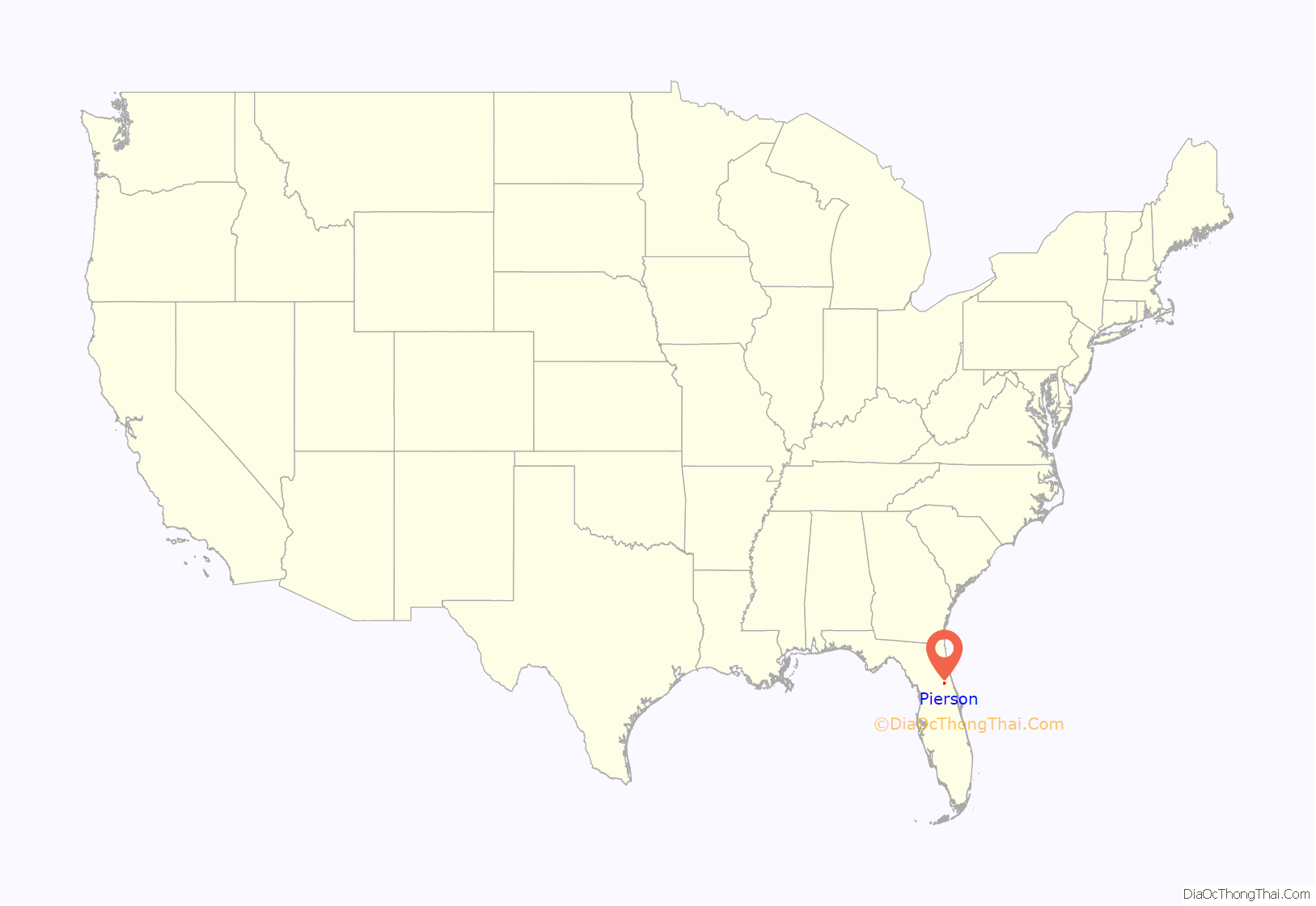
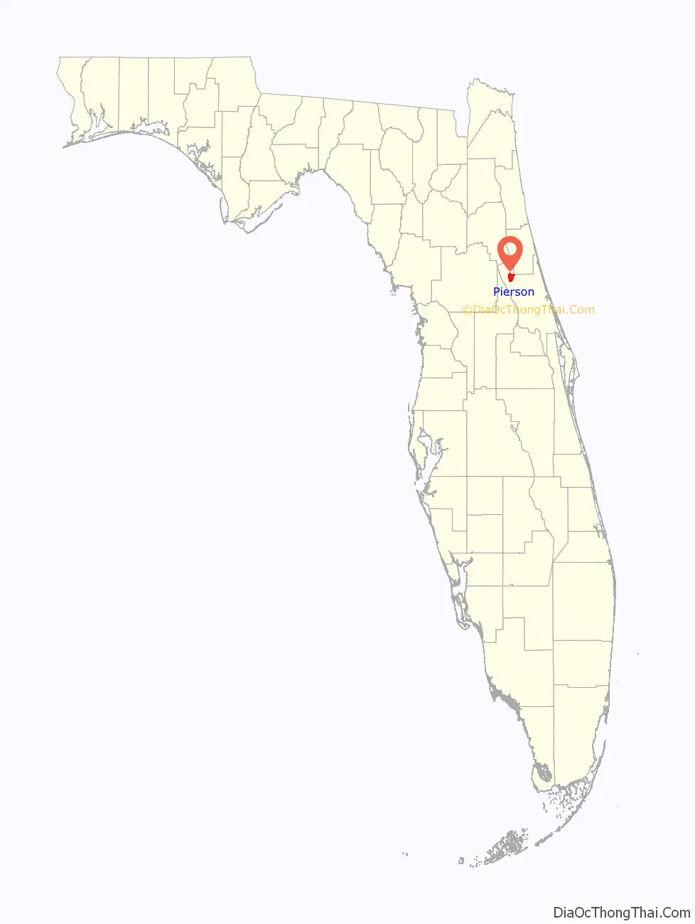
Pierson is a town in Volusia County, Florida, United States. The population was 1,542 as of the 2020 census.
Pierson bills itself as the “Fern Capital of the World”. The town is heavily reliant on agriculture which mainly consists of fern growing. Its ferns are exported worldwide for use in floral arrangements and other decorations.
| Name: | Pierson town |
|---|---|
| LSAD Code: | 43 |
| LSAD Description: | town (suffix) |
| State: | Florida |
| County: | Volusia County |
| Elevation: | 75 ft (23 m) |
| Total Area: | 10.91 sq mi (28.26 km²) |
| Land Area: | 10.20 sq mi (26.41 km²) |
| Water Area: | 0.71 sq mi (1.85 km²) |
| Total Population: | 1,542 |
| Population Density: | 151.21/sq mi (58.38/km²) |
| ZIP code: | 32180 |
| Area code: | 386 |
| FIPS code: | 1256425 |
| GNISfeature ID: | 0288798 |
| Website: | http://www.townofpierson.org |
Online Interactive Map
Click on ![]() to view map in "full screen" mode.
to view map in "full screen" mode.
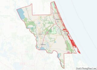
Pierson location map. Where is Pierson town?
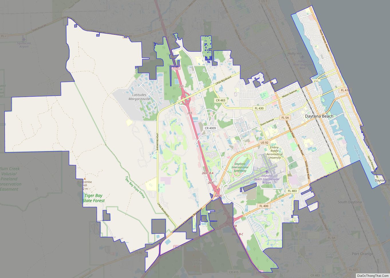
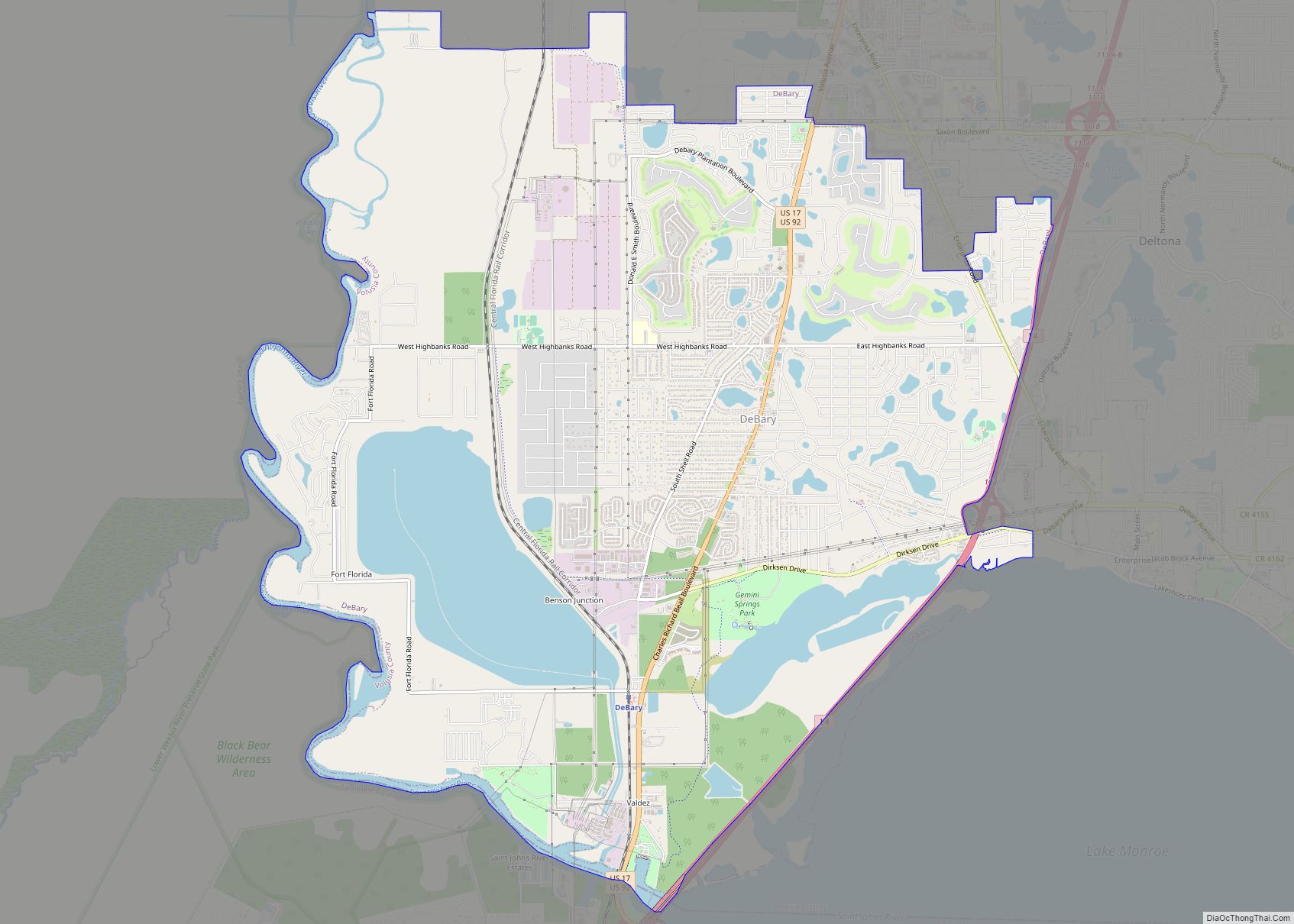
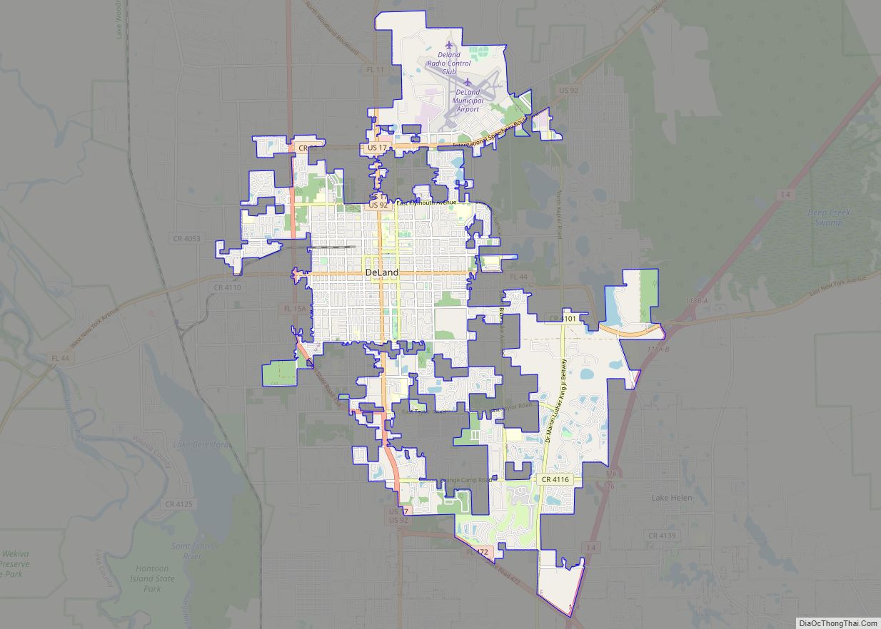
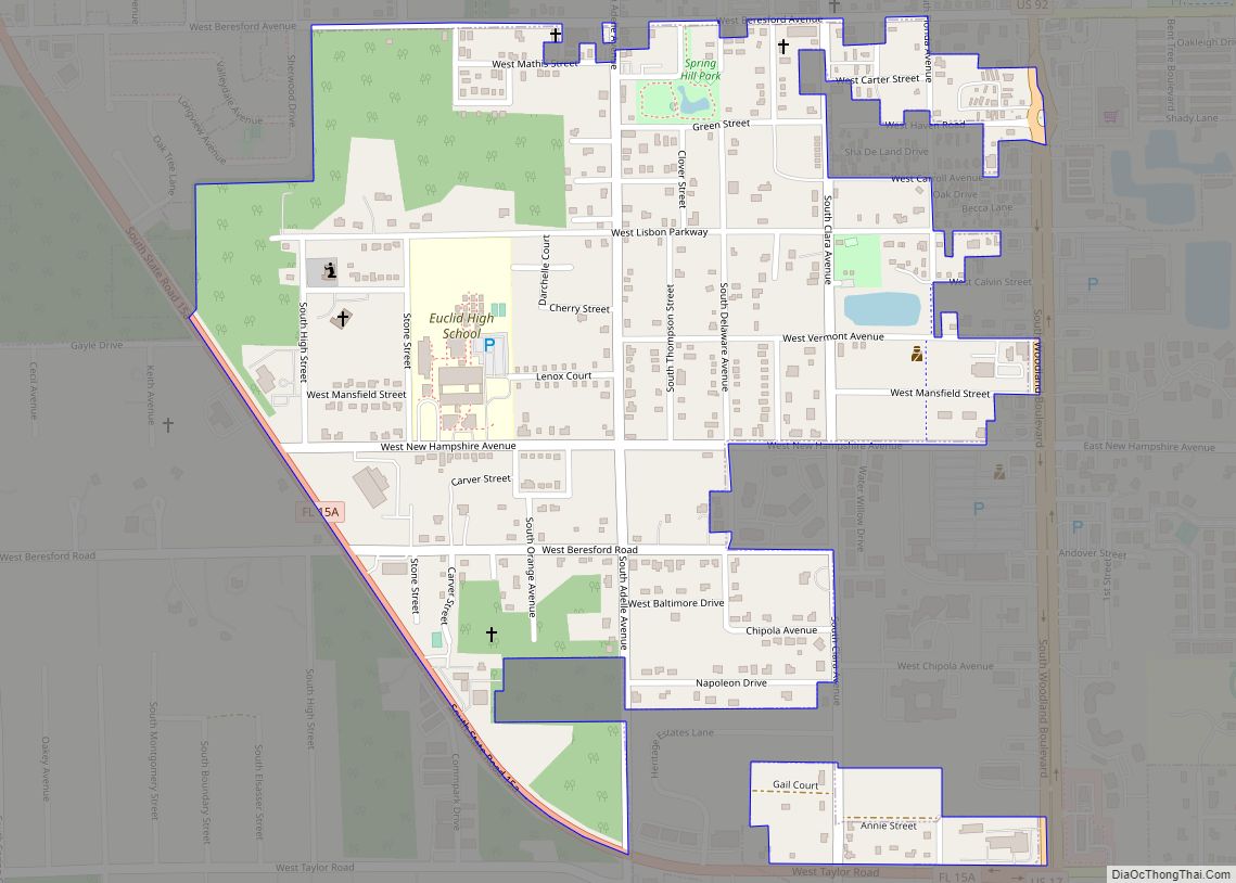
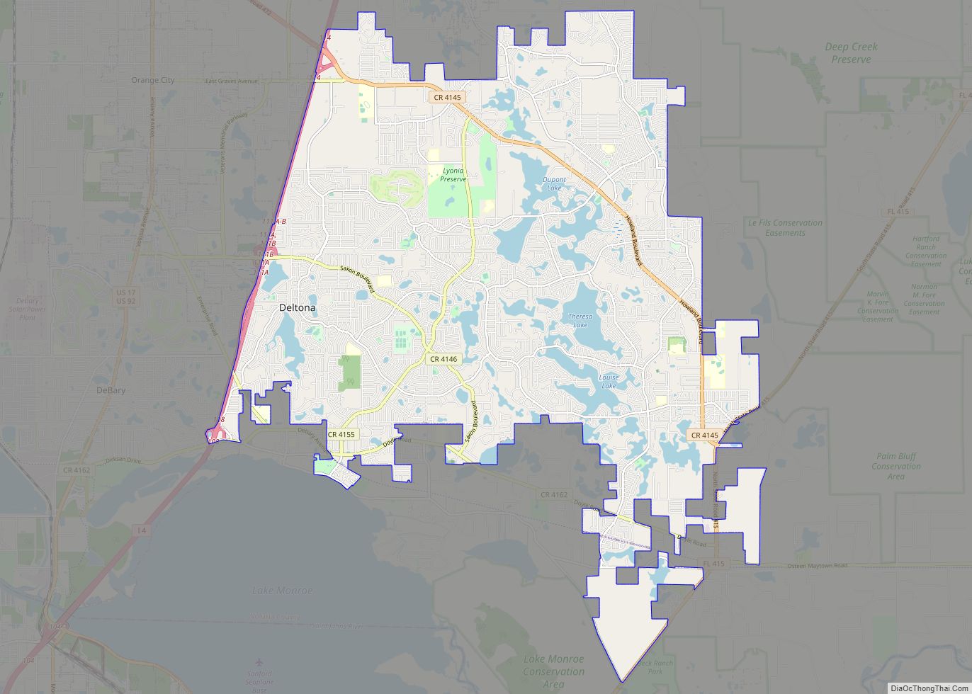
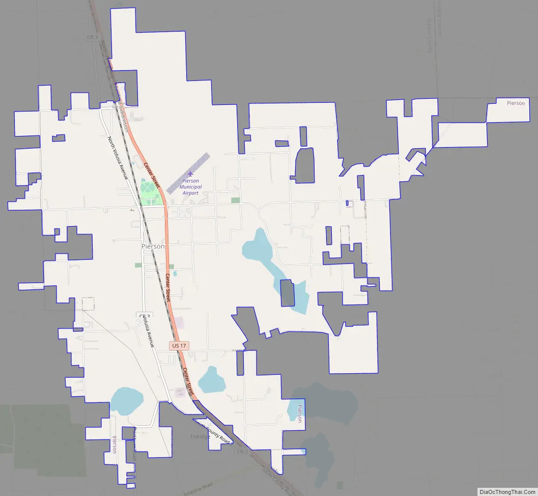
Pierson Road Map
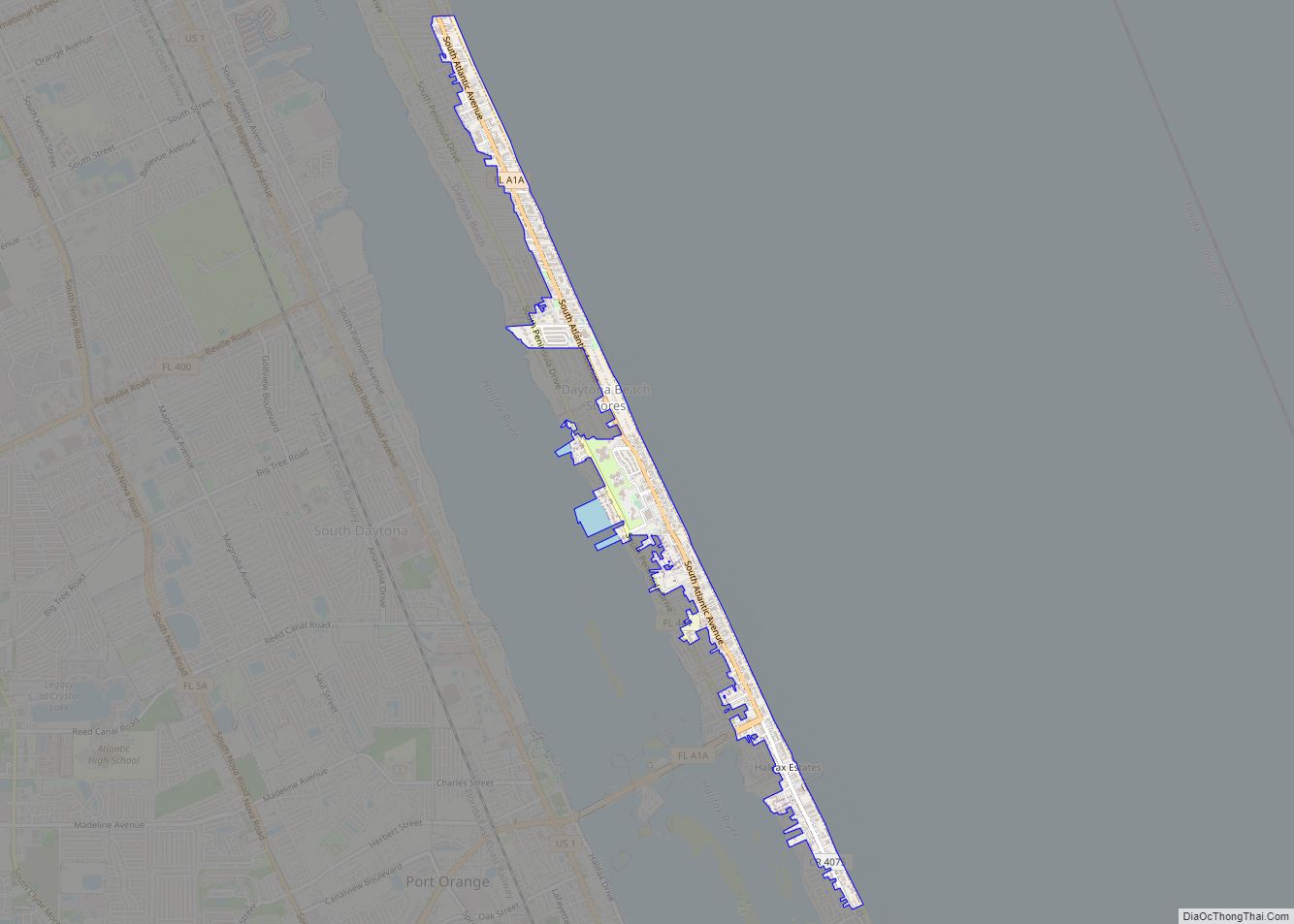
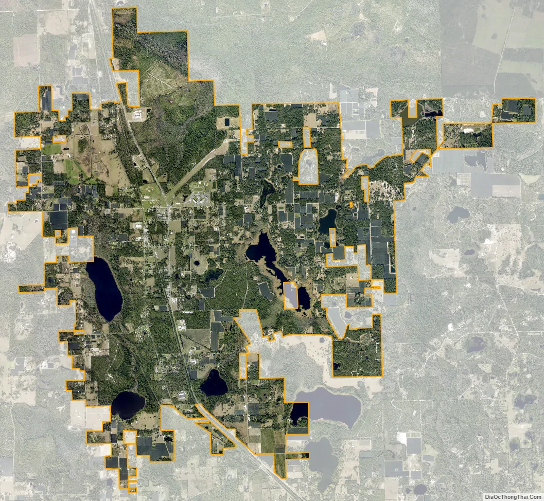
Pierson city Satellite Map
Geography
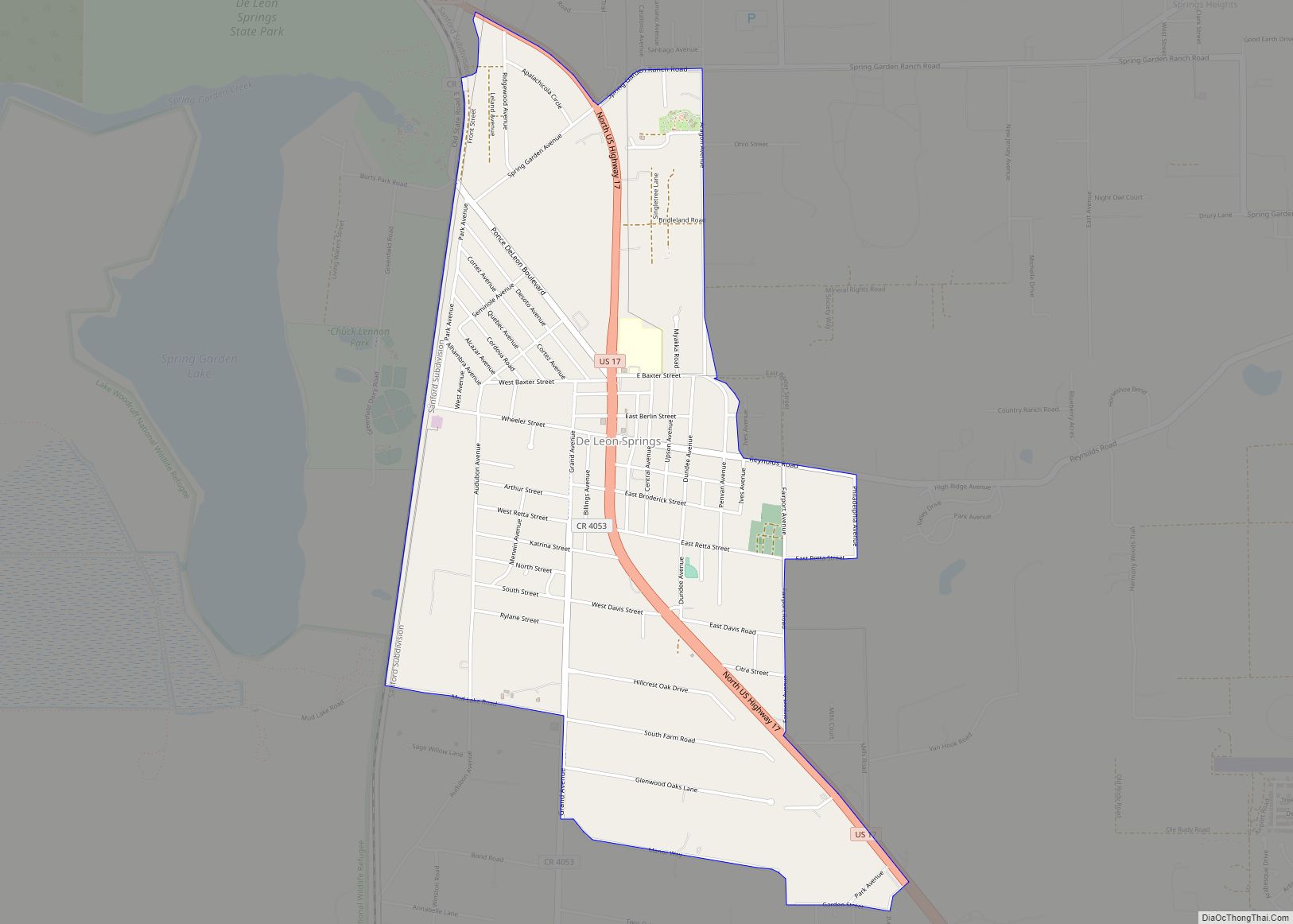
Pierson is located at 29°14′30″N 81°27′24″W / 29.24167°N 81.45667°W / 29.24167; -81.45667 (29.241713, –81.456594). It is the northwesternmost incorporated town in Volusia County. U.S. Route 17 and County Road 3 (former US 17) pass through the town.
According to the United States Census Bureau, the town has a total area of 8.7 square miles (23 km), of which 8.1 square miles (21 km) is land and 0.6 square miles (1.6 km) (6.86%) is water.
See also
Map of Florida State and its subdivision:- Alachua
- Baker
- Bay
- Bradford
- Brevard
- Broward
- Calhoun
- Charlotte
- Citrus
- Clay
- Collier
- Columbia
- Desoto
- Dixie
- Duval
- Escambia
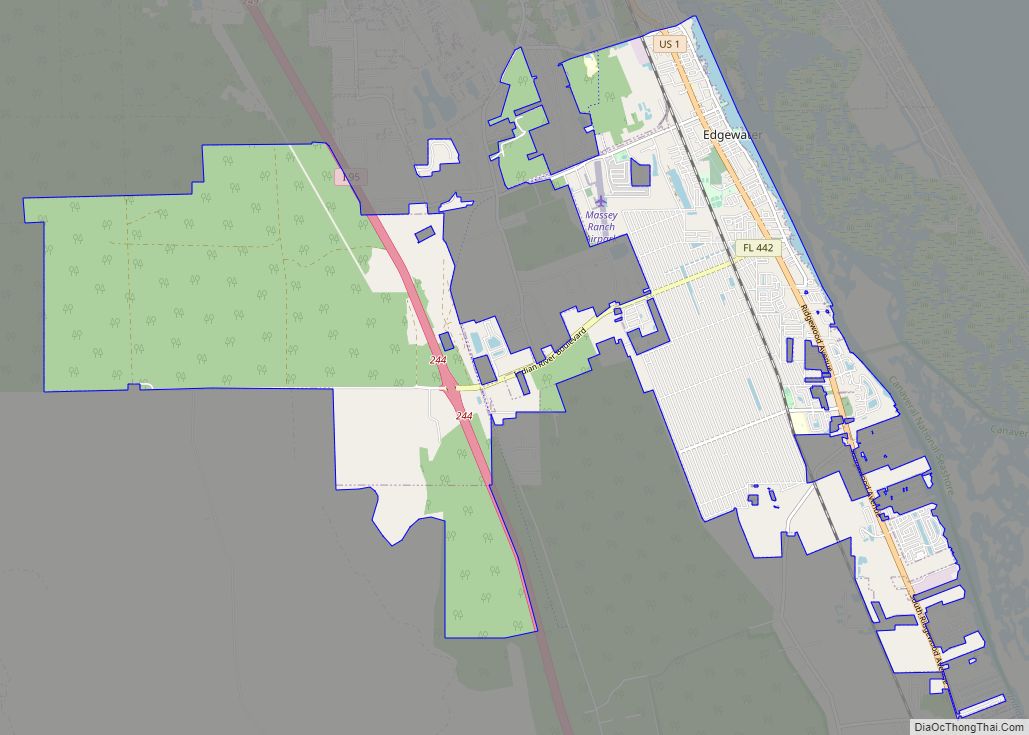
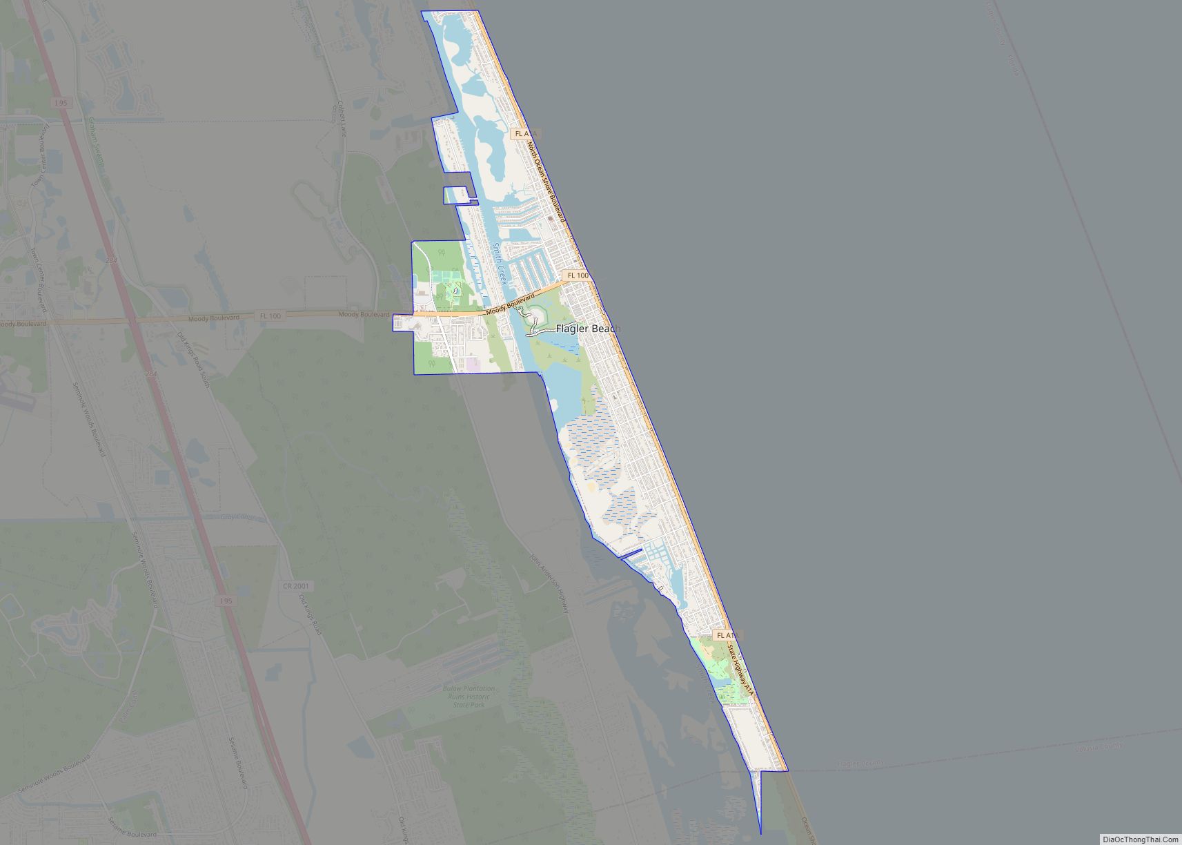
- Flagler
- Franklin
- Gadsden
- Gilchrist
- Glades
- Gulf
- Hamilton
- Hardee
- Hendry
- Hernando
- Highlands
- Hillsborough
- Holmes
- Indian River
- Jackson
- Jefferson
- Lafayette
- Lake
- Lee
- Leon
- Levy
- Liberty
- Madison
- Manatee
- Marion
- Martin
- Miami-Dade
- Monroe
- Nassau
- Okaloosa
- Okeechobee
- Orange
- Osceola
- Palm Beach
- Pasco
- Pinellas
- Polk
- Putnam
- Saint Johns
- Saint Lucie
- Santa Rosa
- Sarasota
- Seminole
- Sumter
- Suwannee
- Taylor
- Union
- Volusia
- Wakulla
- Walton
- Washington
- Alabama
- Alaska
- Arizona
- Arkansas
- California
- Colorado
- Connecticut
- Delaware
- District of Columbia
- Florida
- Georgia
- Hawaii
- Idaho
- Illinois
- Indiana
- Iowa
- Kansas
- Kentucky
- Louisiana
- Maine
- Maryland
- Massachusetts
- Michigan
- Minnesota
- Mississippi
- Missouri
- Montana
- Nebraska
- Nevada
- New Hampshire
- New Jersey
- New Mexico
- New York
- North Carolina
- North Dakota
- Ohio
- Oklahoma
- Oregon
- Pennsylvania
- Rhode Island
- South Carolina
- South Dakota
- Tennessee
- Texas
- Utah
- Vermont
- Virginia
- Washington
- West Virginia
- Wisconsin
- Wyoming