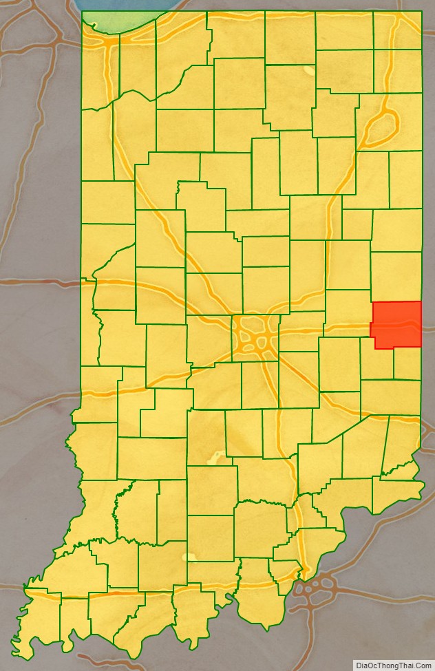
Wayne County is a county located in east central Indiana, United States, on the border with Ohio. As of the 2020 United States Census, the population was 66,553. The county seat is Richmond.
Wayne County comprises the Richmond, IN Micropolitan Statistical Area.
Richmond hosts Earlham College, a small private liberal arts college.
| Name: | Wayne County |
|---|---|
| FIPS code: | 18-177 |
| State: | Indiana |
| Founded: | 1811 |
| Named for: | Anthony Wayne |
| Seat: | Richmond |
| Largest city: | Richmond |
| Total Area: | 404.34 sq mi (1,047.2 km²) |
| Land Area: | 401.74 sq mi (1,040.5 km²) |
| Population Density: | 176/sq mi (68/km²) |
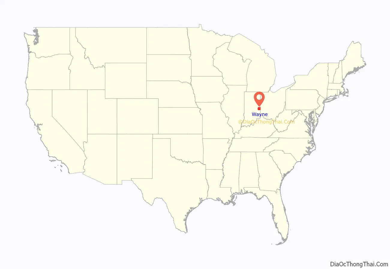
Wayne County location map. Where is Wayne County?
History
The first permanent European-American settlers in the area were Quakers from North Carolina. They settled about 1806 near the east fork of the Whitewater River, an area including what is today the city of Richmond. Jeptha Turner, the first white child in the county, was born here in 1806.
Wayne County was formed in 1811 from portions of Clark and Dearborn counties. It was named for Gen. “Mad” Anthony Wayne, who was an officer during the Revolutionary War. Wayne is mainly remembered for his service in the 1790s in the Northwest Indian War, which included many actions in Indiana and Ohio. Randolph County was formed from the northern portion of Wayne County, effective August 1818.
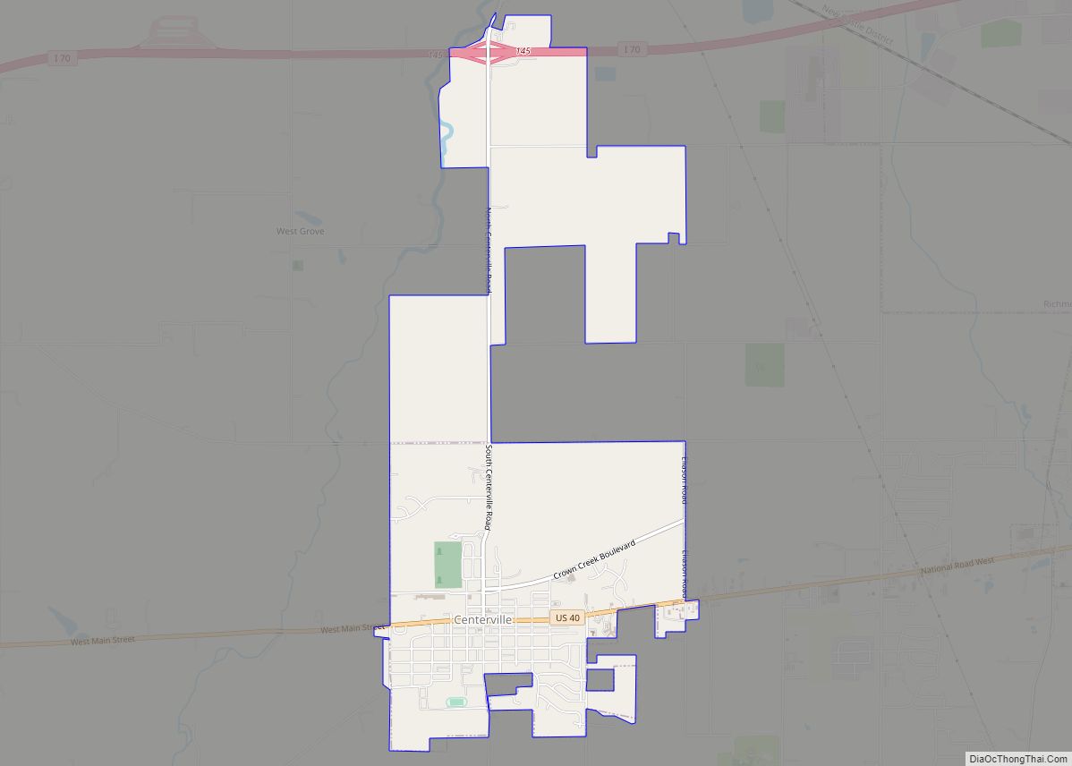
The first county seat was Salisbury, Indiana, a town which no longer exists. It was later moved to Centerville, Indiana in 1818, where it remained until Richmond was designated as the seat in 1873.
During the antebellum years, Wayne County had a number of stations on the Underground Railroad, a network of blacks and whites who aided refugees from slavery to reach freedom. Levi Coffin and his wife Catharine aided more than 1,000 refugees at their home in Fountain City, now designated as a National Historic Landmark and State Historic Site significant to the Ohio River National
In the 1920s, Indiana had the strongest Ku Klux Klan organization in the country, led by Grand Dragons D. C. Stephenson and Walter F. Bossert. Its members controlled the state legislature and had an ally in Governor Ed Jackson. At its height, national membership during the second Klan movement reached 1.5 million, with 300,000 in Indiana. Records show that Wayne County was home to Whitewater Klan No. 60. Robert Lyons, of Richmond, was national chief of staff for the Klan. During this period, the Klan had the most members in cities rather than rural areas; it attracted members new to cities who were unsettled by waves of immigrants from Europe and migrants from other regions of the US.
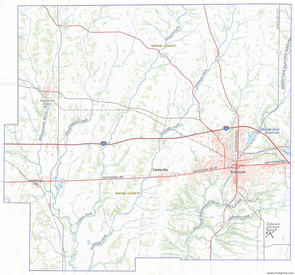
Wayne County Road Map
Geography
According to the 2010 census, the county has a total area of 404.34 square miles (1,047.2 km), of which 401.74 square miles (1,040.5 km) (or 99.36%) is land and 2.60 square miles (6.7 km) (or 0.64%) is water. Wayne County includes Indiana’s highest natural elevation, Hoosier Hill, at 1,257 feet (383 m).
Adjacent counties
- Randolph County (north)
- Darke County, Ohio (northeast)
- Preble County, Ohio (east)
- Union County (south)
- Fayette County (southwest)
- Henry County (west)
Cities
Towns
- Boston
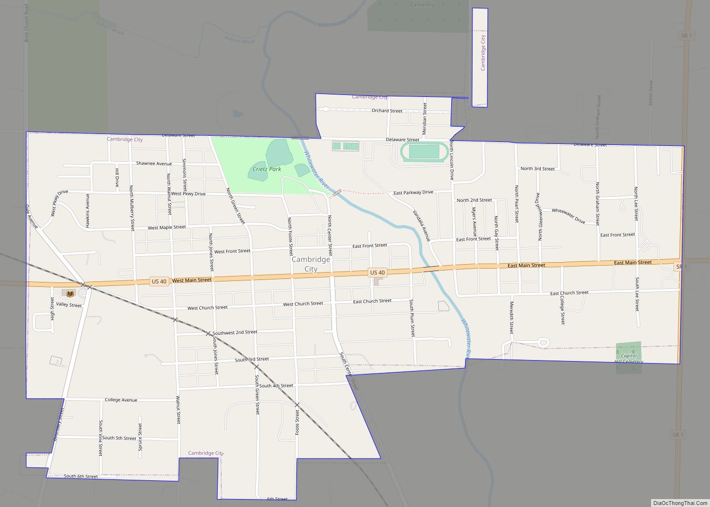
- Cambridge City
- Centerville
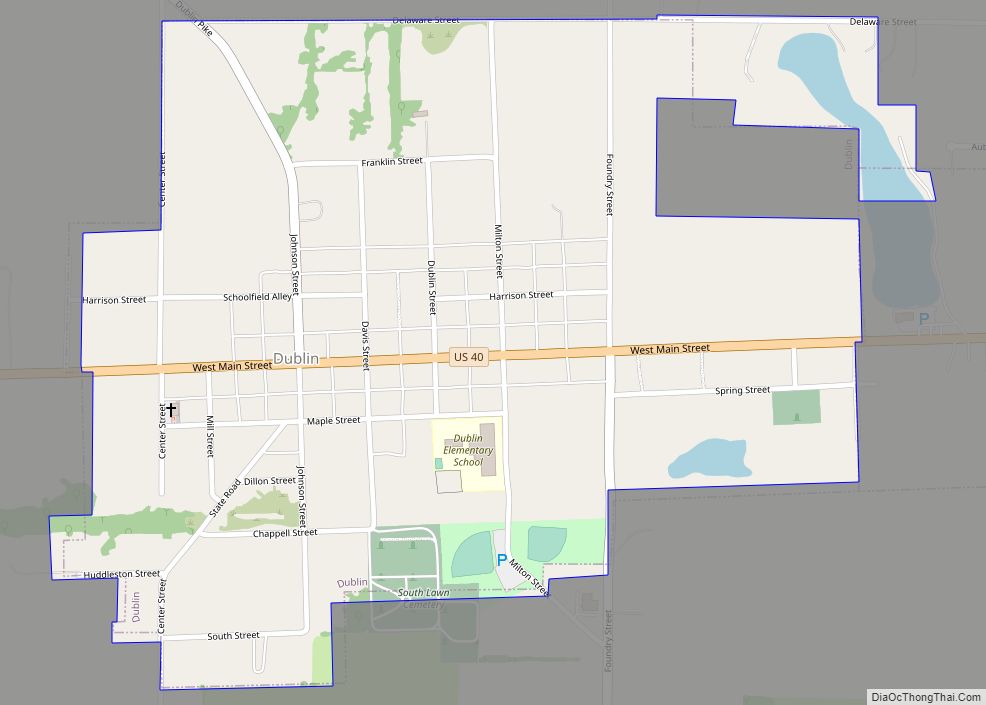
- Dublin
- East Germantown
- Economy
- Fountain City
- Greens Fork
- Hagerstown
- Milton
- Richmond
- Spring Grove
- Whitewater
Unincorporated towns
- Abington
- Beesons
- Bethel
- Chester
- College Corner
- Dalton
- East Haven
- Franklin
- Greenwood
- Hiser
- Jacksonburg
- Locust Grove
- Middleboro
- Pennville
- Pinhook
- South Richmond
- Spring Grove Heights
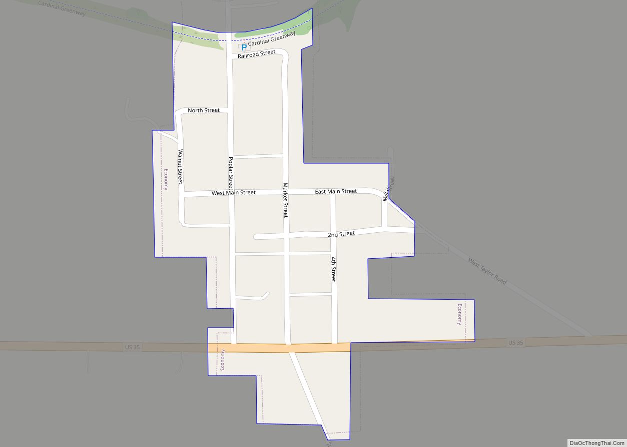
- Wayne
- Webster
- West Grove
- Williamsburg
Townships
- Abington
- Boston
- Center
- Clay
- Dalton
- Franklin
- Green
- Harrison
- Jackson
- Jefferson
- New Garden
- Perry
- Washington
- Wayne
- Webster
Major highways
- Interstate 70
- U.S. Route 27
- U.S. Route 35
- U.S. Route 40
- State Road 1
- State Road 38
- State Road 121
- State Road 227
Wayne County Topographic Map
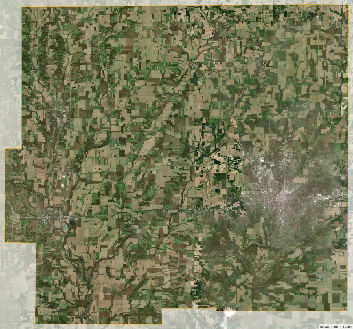
Wayne County Satellite Map
Wayne County Outline Map