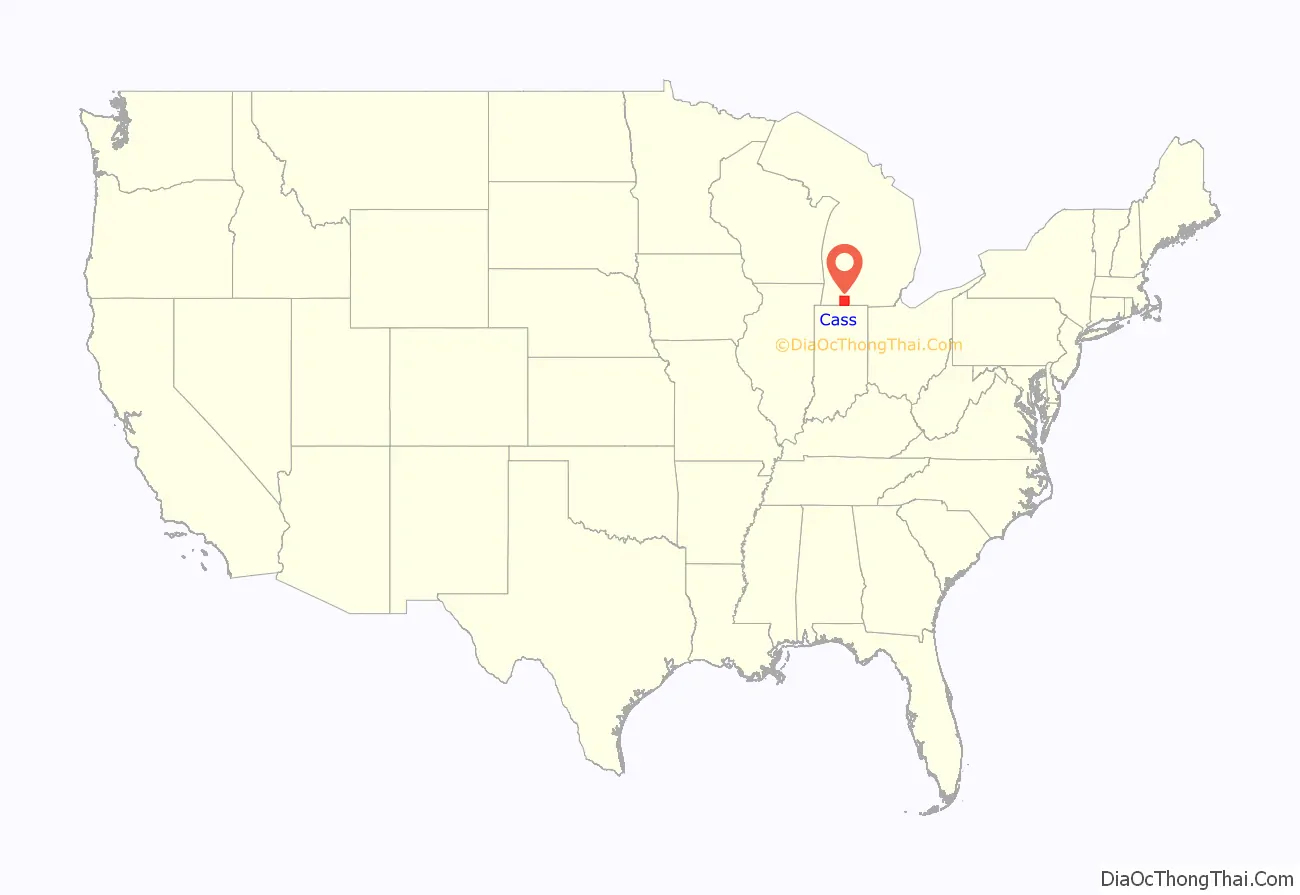
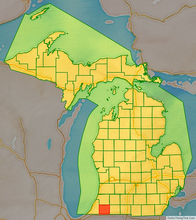
Cass County is a county in the U.S. state of Michigan. As of the 2020 Census, the population was 51,589. Its county seat is Cassopolis.
Cass County is included in the South Bend–Mishawaka, IN-MI, Metropolitan Statistical Area which has a total population of 316,663 and is considered part of the Michiana region.
| Name: | Cass County |
|---|---|
| FIPS code: | 26-027 |
| State: | Michigan |
| Founded: | 1829 |
| Named for: | Lewis Cass |
| Seat: | Cassopolis |
| Largest city: | Dowagiac |
| Total Area: | 508 sq mi (1,320 km²) |
| Land Area: | 490 sq mi (1,300 km²) |
| Total Population: | 51,589 |
| Population Density: | 105/sq mi (41/km²) |
| Website: | www.casscountymi.org |
Cass County location map. Where is Cass County?
History
The county is named for Lewis Cass, the Michigan Territorial Governor at the time the county was created in 1829. Cass later served as the United States Secretary of War under President Andrew Jackson, thus making a case for including Cass County as one of Michigan’s “cabinet counties”.
Cass County was not as heavily forested and had more fertile prairie land than other nearby areas of Michigan. During early settlement, it attracted numerous settlers who wanted to farm and grew more rapidly in population.
The county quickly developed industry as well. As early as 1830, a carding mill was started in the county on Dowagiac Creek, a branch of the St. Joseph River. Although the Sauk Trail (Chicago Road) passed through the southern part of the county, early settlement did not come primarily from eastern Michigan. Instead, settlers from Ohio and Indiana migrated who had learned of available prairie lands, reaching the Michigan Territory via a branch of the Chicago Road leading from Fort Wayne, Indiana. The population of Cass County was more than 3,000 by 1834.
Among the most prominent early settlers of Cass County were Baldwin Jenkins and Uzziel Putnam, who both came from Ohio by way of the Carey Mission in Berrien County. Jenkins had been born at Fort Jenkins in Green County, Pennsylvania, and had migrated to Tennessee. He left that state as he was opposed to the institution of slavery. Putnam, who had lived in Massachusetts and New York, migrated to Cass from Erie County, Ohio, by way of Fort Wayne. These settlers, and their families, established the nucleus of the village of Pokagon on Pokagon Prairie in 1825. The next year, a settlement was made on Beardsley’s Prairie, where the village of Edwardsburg was laid out in 1831.
The village of Cassopolis was platted in 1831 and intended as the county seat, because it was the geographical center of the county. It had no settlers at the time.
Black settlers
After 1840, the black population of Cass County grew rapidly as families were attracted by white defiance of discriminatory laws, including the Fugitive Slave Law. Numerous highly supportive Quakers helped blacks settle in the area, and the land was low-priced. Free and refugee blacks found Cass County to be a haven. Their development of a thriving community attracted the attention of southern slaveholders.
In 1847 and 1849, planters from Bourbon and Boone counties in northern Kentucky led raids into Cass County to recapture escaped slaves. They were “surrounded by crowds of angry farmers armed with clubs, scythes, and other farm implements”, resisting their attempt.
The raids failed to accomplish their objective but strengthened Southern demands for passage of the Fugitive Slave Act of 1850, which required residents and law enforcement even in free states to support capture of refugee slaves, and increased penalties for failure to do so. Biased toward slaveholders and slavecatchers, it required little documentation and put free blacks at risk for capture and sale into slavery. Many in the North resisted the law, especially in abolitionist strongholds, and it increased tensions contributing to the Civil War.
Cass County became known early on for the anti-slavery attitudes of its population. Pennsylvania Quakers made a settlement in Penn Township in 1829. This community later became a prominent station on the Underground Railroad. One established Underground Railroad route ran from Niles through Cassopolis, Schoolcraft, Climax, and Battle Creek, and thence along the old Territorial Road.
Historical markers
Some 26 historical sites in Cass County have been listed on the National Register of Historic Places and designated by state historical markers as of December 2009.
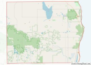
Cass County Road Map
Geography
According to the U.S. Census Bureau, the county has a total area of 508 square miles (1,320 km), of which 490 square miles (1,300 km) is land and 18 square miles (47 km) (3.6%) is water. It is the smallest county in Michigan by total area.
Major highways
- US 12
- M-40
- M-51
- M-60
- Bus. M-60
- M-62
- M-152
- M-216
- M-217
Adjacent counties
- Van Buren County (north)
- St. Joseph County (east)
- Berrien County (west)
- Elkhart County, Indiana (southeast)
- St. Joseph County, Indiana (southwest)
