Schoolcraft is a village in Kalamazoo County, Michigan, United States. The village is located in Schoolcraft Township approximately 13 miles (21 km) south of Kalamazoo on U.S. Route 131. The population was 1,525 at the 2010 census. The village is named in honor of geographer, geologist, and ethnologist Henry Schoolcraft.
| Name: | Schoolcraft village |
|---|---|
| LSAD Code: | 47 |
| LSAD Description: | village (suffix) |
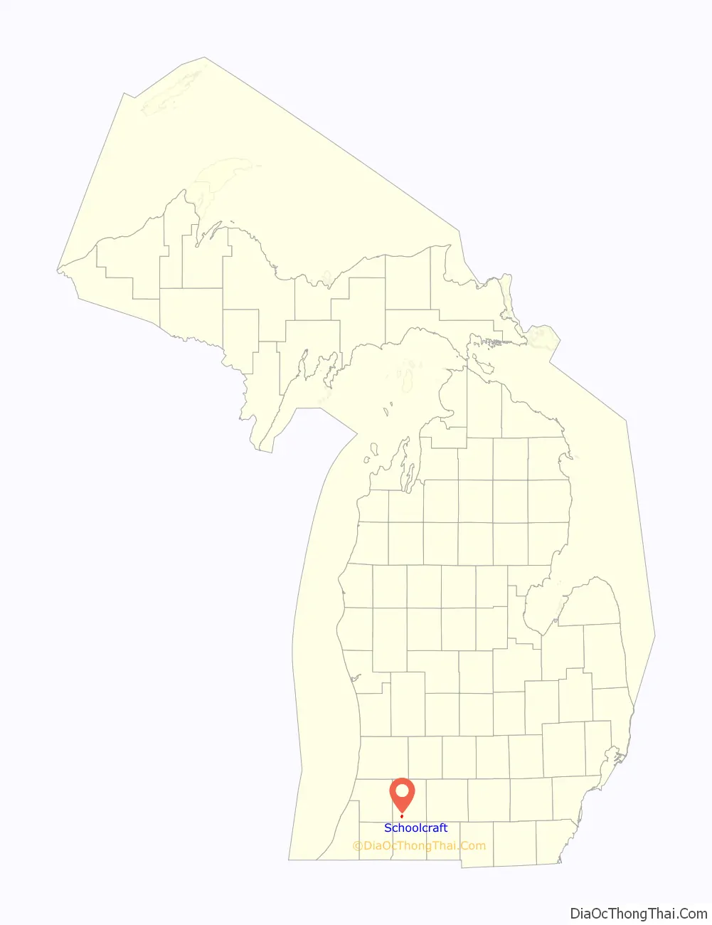
| State: | Michigan |
| County: | Kalamazoo County |
| Elevation: | 879 ft (268 m) |
| Total Area: | 0.98 sq mi (2.54 km²) |
| Land Area: | 0.98 sq mi (2.54 km²) |
| Water Area: | 0.00 sq mi (0.00 km²) |
| Total Population: | 1,466 |
| Population Density: | 1,492.87/sq mi (576.49/km²) |
| ZIP code: | 49087 |
| Area code: | 269 |
| FIPS code: | 2671860 |
| GNISfeature ID: | 0637419 |
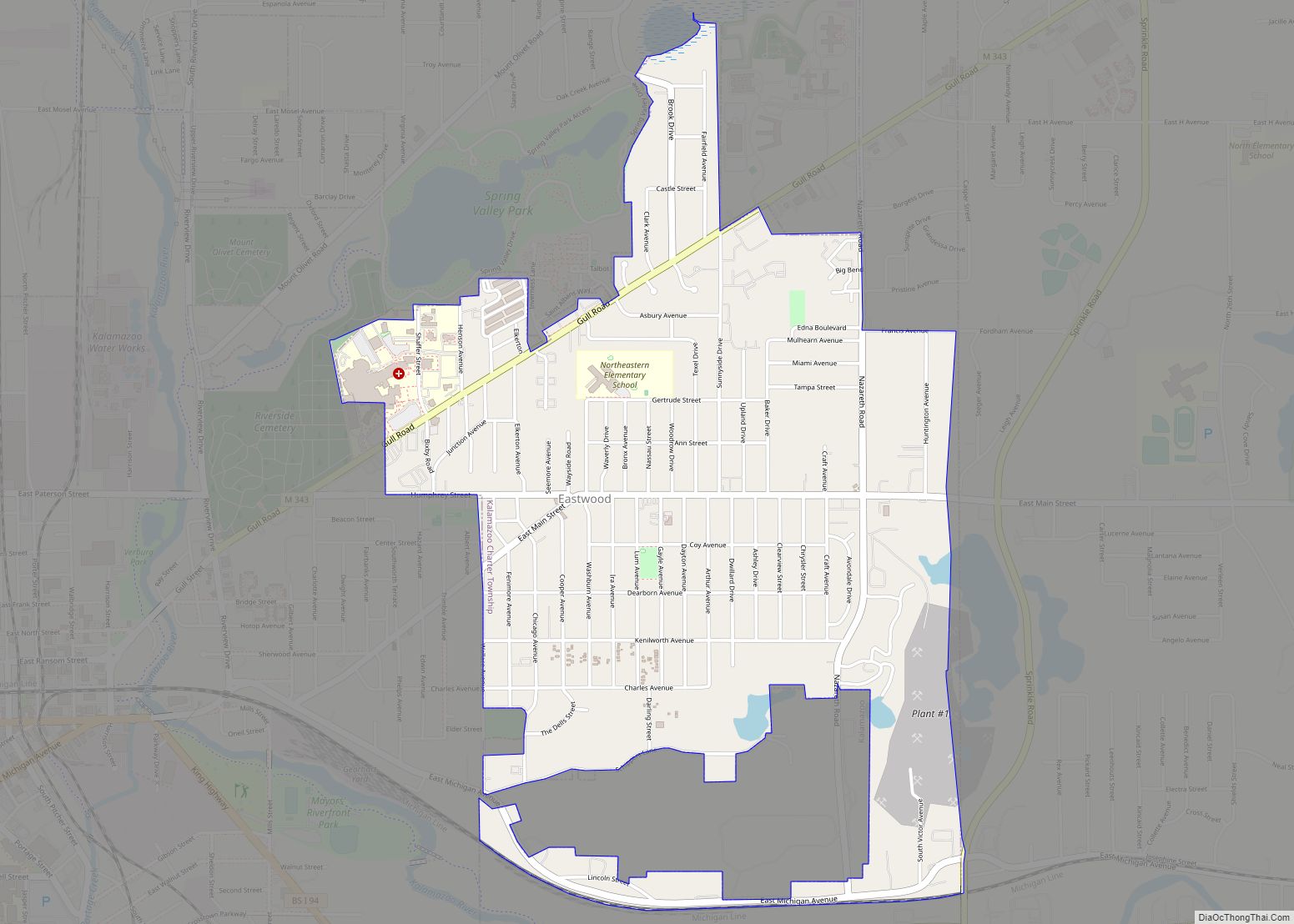
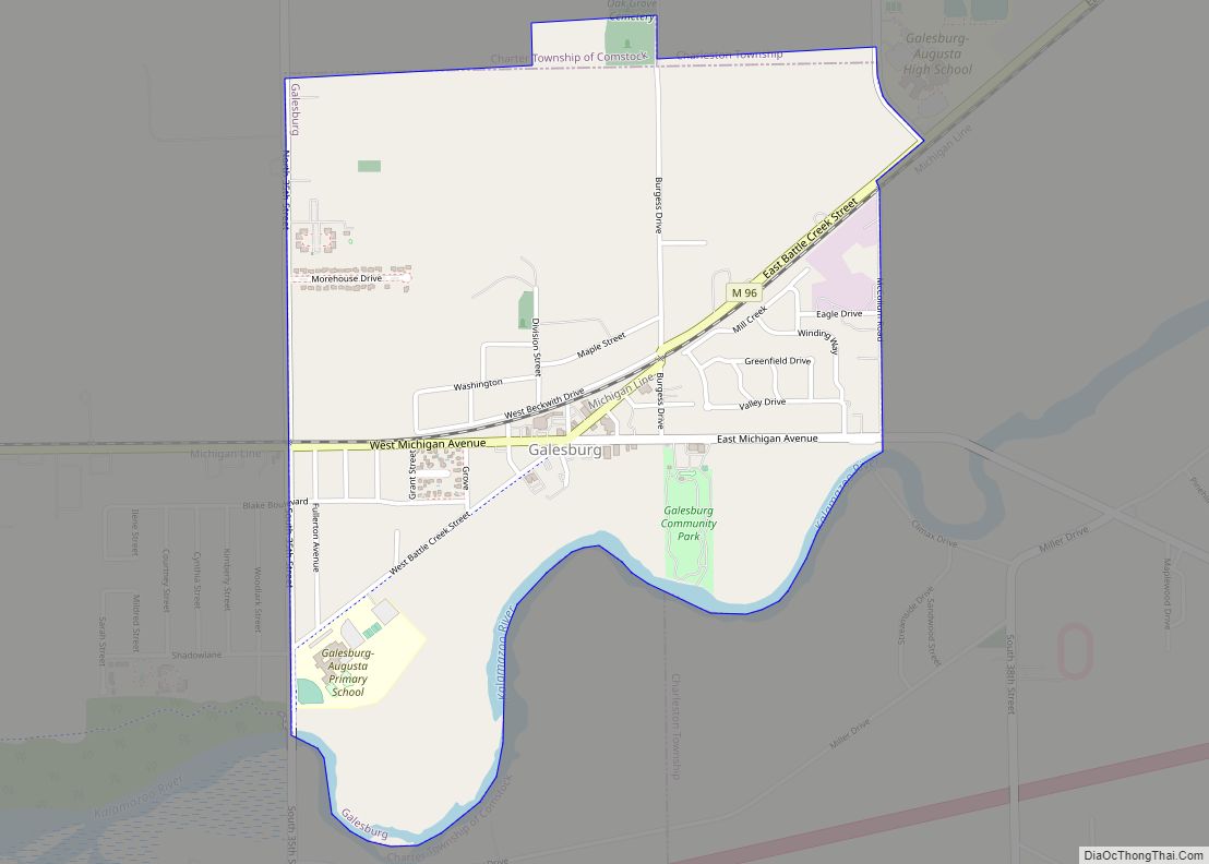
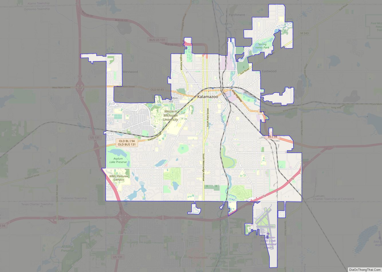
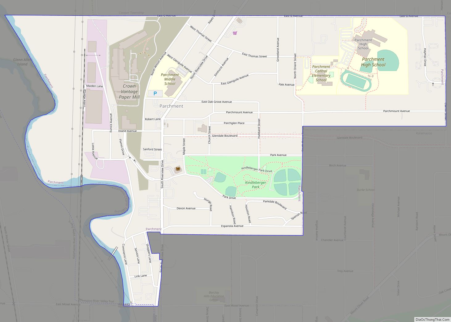
Online Interactive Map
Click on ![]() to view map in "full screen" mode.
to view map in "full screen" mode.
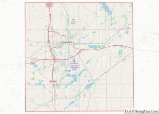
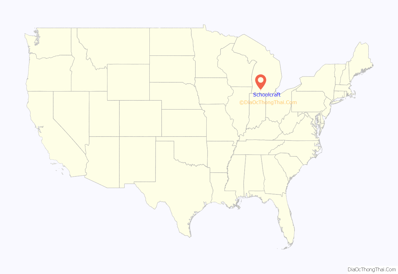
Schoolcraft location map. Where is Schoolcraft village?
History
Euro-American settlement in the Schoolcraft area dates to 1828 (nine years before Michigan’s admission to the Union), when Bazel Harrison moved his family from Ohio to present-day Prairie Ronde Township, becoming the first settler in the future Kalamazoo County. The village itself was established in 1831 by surveyor (and future statesman) Lucius Lyon, who had first visited the area as a surveyor under government contract in 1823. Recorded on October 5, 1831, Schoolcraft was the first town in Kalamazoo County. Lyon named the village for his friend Henry Schoolcraft. Schoolcraft was a key member of the 1820 Cass Expedition, organized by territorial governor Lewis Cass to explore the Michigan Territory; the expedition played an important role in encouraging settlement of the territory.
Territorial roads from Schoolcraft to the mouth of the Black River were approved in 1833 and to Edwardsville in 1834. State roads to Edwardsburg, St. Joseph were approved by the Michigan legislature in the 1835-36 session. By Act of State Legislature March 14, 1840, two state roads from Schoolcraft were approved for construction. One road was to be built to Abscota (also found as Abscot), a post office in Calhoun County, Township 4 South, Range 7 West at the corners of Section 5, 6, 7, 8. John Kelly and E.L. Brown of Kalamazoo and Salmon Walker of Calhoun County were appointed to oversee this route. Another road was to be built from Schoolcraft to Albion with E. Larkin Brown and Albert E. Bull of Schoolcraft and Jesse Crowel of Albion as commissionors to lay out and establish said road. In 1844, a state road from Battle Creek to Schoolcraft was authorized. In 1845, a state road from Schoolcraft connecting to the Territorial Road was authorized.
Schoolcraft was incorporated as a General Law Village on January 4, 1866. It was reincorporated March 12, 1869 and received its new charter in 1875.
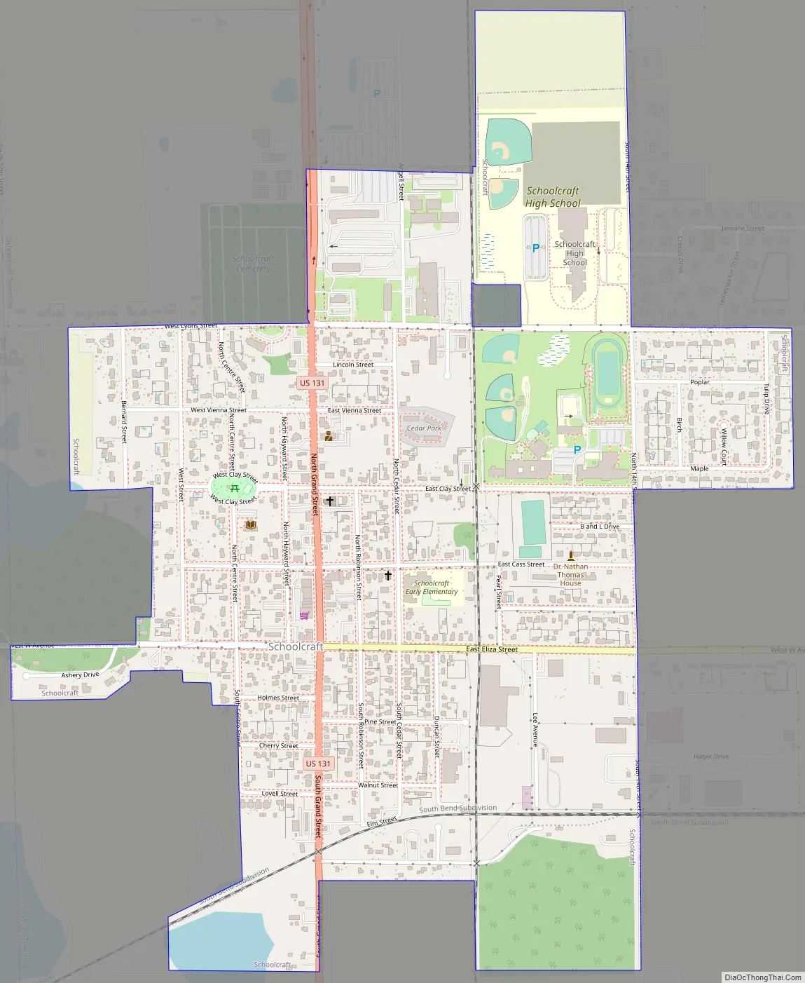
Schoolcraft Road Map
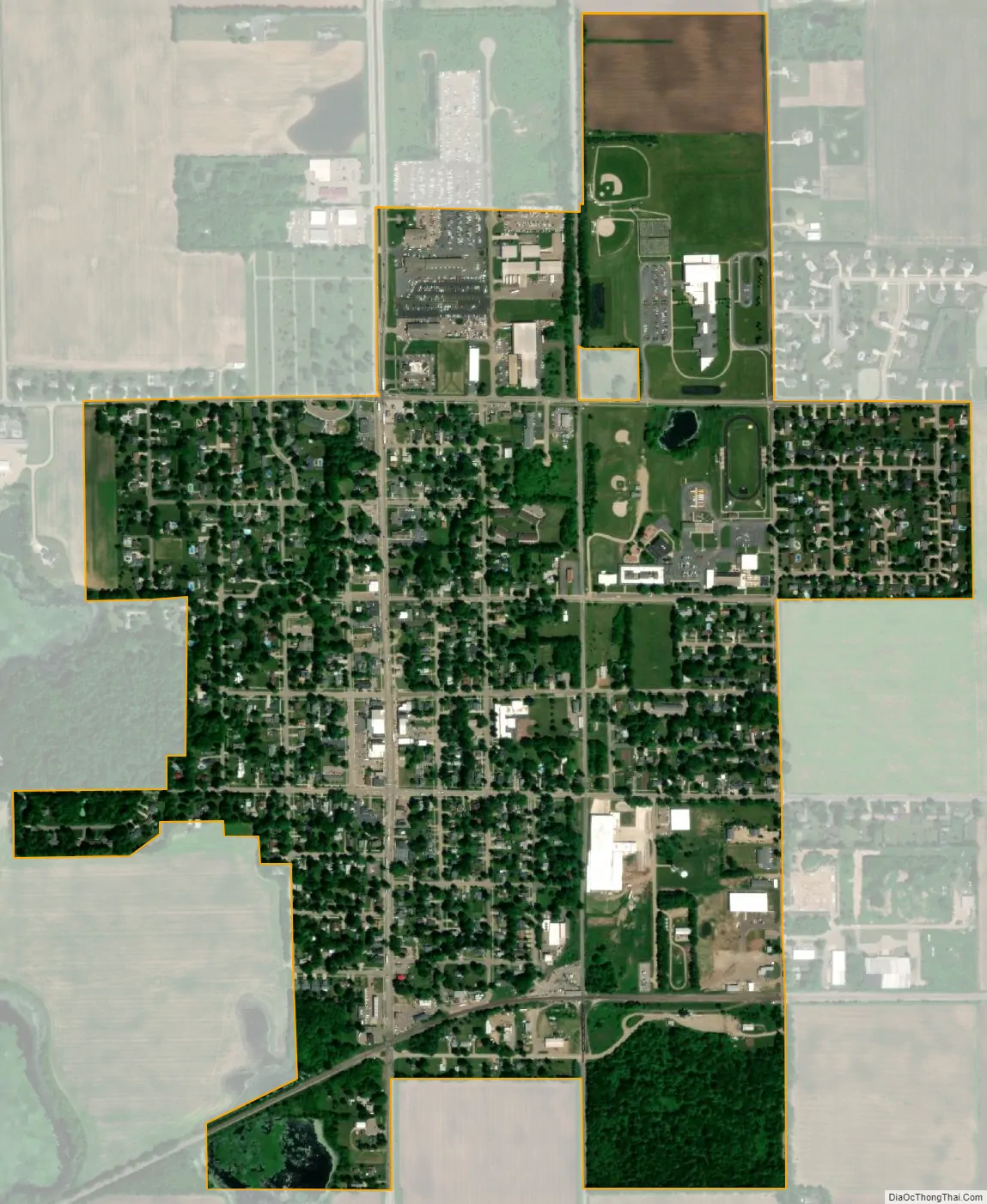
Schoolcraft city Satellite Map
Geography
According to the United States Census Bureau, the village has a total area of 0.98 square miles (2.54 km), all land. Schoolcraft is located on a prairie, and much of the land outside of the village is used as farm land, with the primary crops being corn and soybeans.
See also
Map of Michigan State and its subdivision:- Alcona
- Alger
- Allegan
- Alpena
- Antrim
- Arenac
- Baraga
- Barry
- Bay
- Benzie
- Berrien
- Branch
- Calhoun
- Cass
- Charlevoix
- Cheboygan
- Chippewa
- Clare
- Clinton
- Crawford
- Delta
- Dickinson
- Eaton
- Emmet
- Genesee
- Gladwin
- Gogebic
- Grand Traverse
- Gratiot
- Hillsdale
- Houghton
- Huron
- Ingham
- Ionia
- Iosco
- Iron
- Isabella
- Jackson
- Kalamazoo
- Kalkaska
- Kent
- Keweenaw
- Lake
- Lake Hurron
- Lake Michigan
- Lake St. Clair
- Lake Superior
- Lapeer
- Leelanau
- Lenawee
- Livingston
- Luce
- Mackinac
- Macomb
- Manistee
- Marquette
- Mason
- Mecosta
- Menominee
- Midland
- Missaukee
- Monroe
- Montcalm
- Montmorency
- Muskegon
- Newaygo
- Oakland
- Oceana
- Ogemaw
- Ontonagon
- Osceola
- Oscoda
- Otsego
- Ottawa
- Presque Isle
- Roscommon
- Saginaw
- Saint Clair
- Saint Joseph
- Sanilac
- Schoolcraft
- Shiawassee
- Tuscola
- Van Buren
- Washtenaw
- Wayne
- Wexford
- Alabama
- Alaska
- Arizona
- Arkansas
- California
- Colorado
- Connecticut
- Delaware
- District of Columbia
- Florida
- Georgia
- Hawaii
- Idaho
- Illinois
- Indiana
- Iowa
- Kansas
- Kentucky
- Louisiana
- Maine
- Maryland
- Massachusetts
- Michigan
- Minnesota
- Mississippi
- Missouri
- Montana
- Nebraska
- Nevada
- New Hampshire
- New Jersey
- New Mexico
- New York
- North Carolina
- North Dakota
- Ohio
- Oklahoma
- Oregon
- Pennsylvania
- Rhode Island
- South Carolina
- South Dakota
- Tennessee
- Texas
- Utah
- Vermont
- Virginia
- Washington
- West Virginia
- Wisconsin
- Wyoming