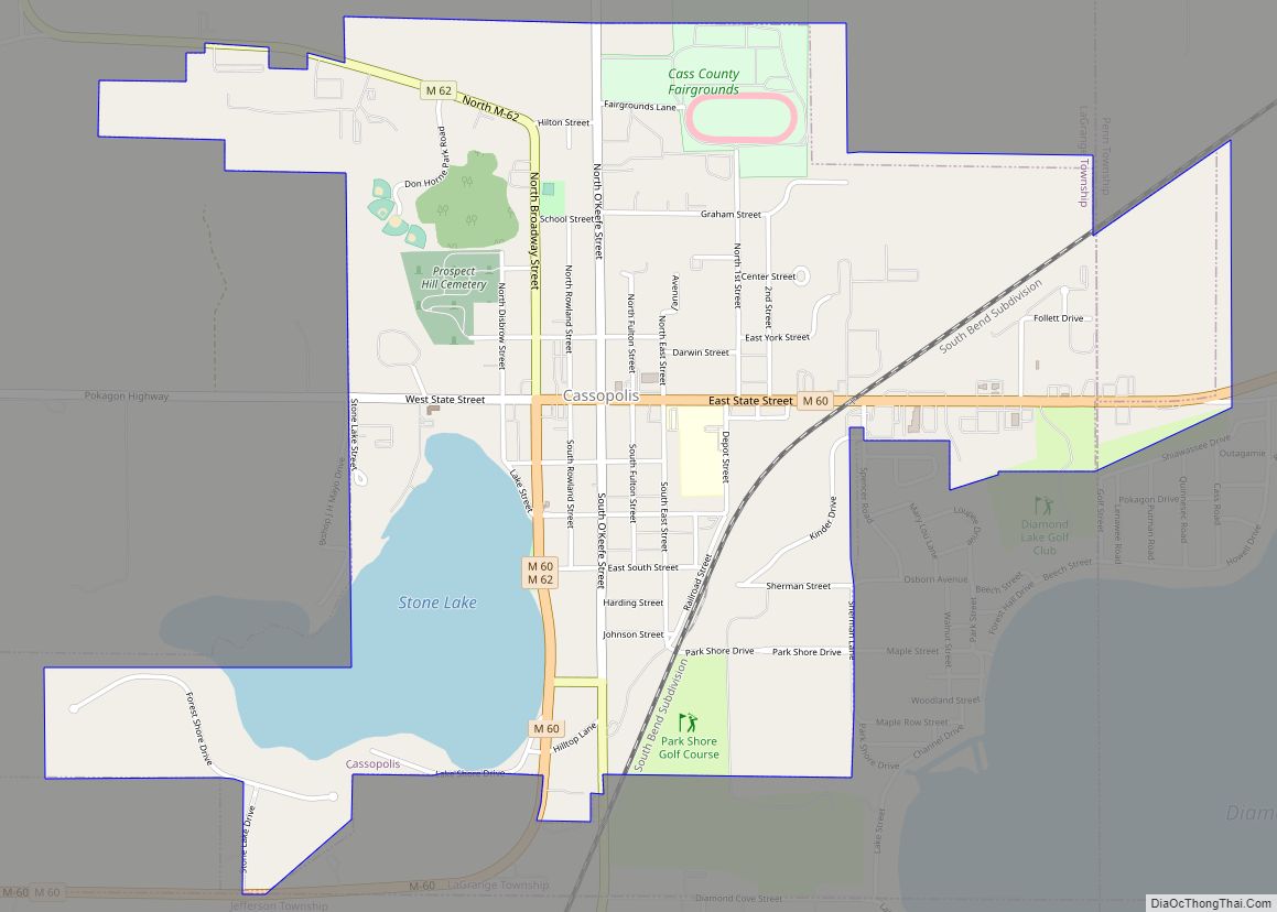
Dowagiac (/dəˈwɑːdʒæk/ də-WAH-jak) is a city in Cass County in the U.S. state of Michigan. The population was 5,879 at the 2010 census. It is part of the South Bend–Mishawaka, IN-MI, Metropolitan Statistical Area.
Dowagiac is situated at the corner of four townships: Wayne Township to the northeast, LaGrange Township to the southeast, Pokagon Township to the southwest, and Silver Creek Township to the northwest.
The city name comes from the Potawatomi word dewje’og meaning “fishing [near home] water”. Dowagiac is the headquarters of the Pokagon Band of Potawatomi Indians and is also contained within the reservation.
| Name: | Dowagiac city |
|---|---|
| LSAD Code: | 25 |
| LSAD Description: | city (suffix) |
| State: | Michigan |
| County: | Cass County |
| Incorporated: | 1863 (village) 1877 (city) |
| Elevation: | 761 ft (232 m) |
| Total Area: | 4.53 sq mi (11.74 km²) |
| Land Area: | 4.45 sq mi (11.53 km²) |
| Water Area: | 0.08 sq mi (0.20 km²) |
| Total Population: | 5,721 |
| Population Density: | 1,284.75/sq mi (496.05/km²) |
| Area code: | 269 |
| FIPS code: | 2622880 |
| GNISfeature ID: | 0624843 |
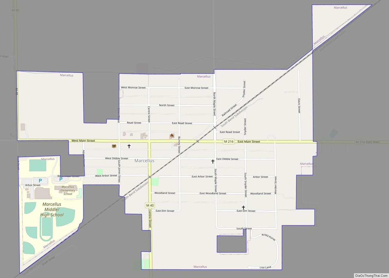
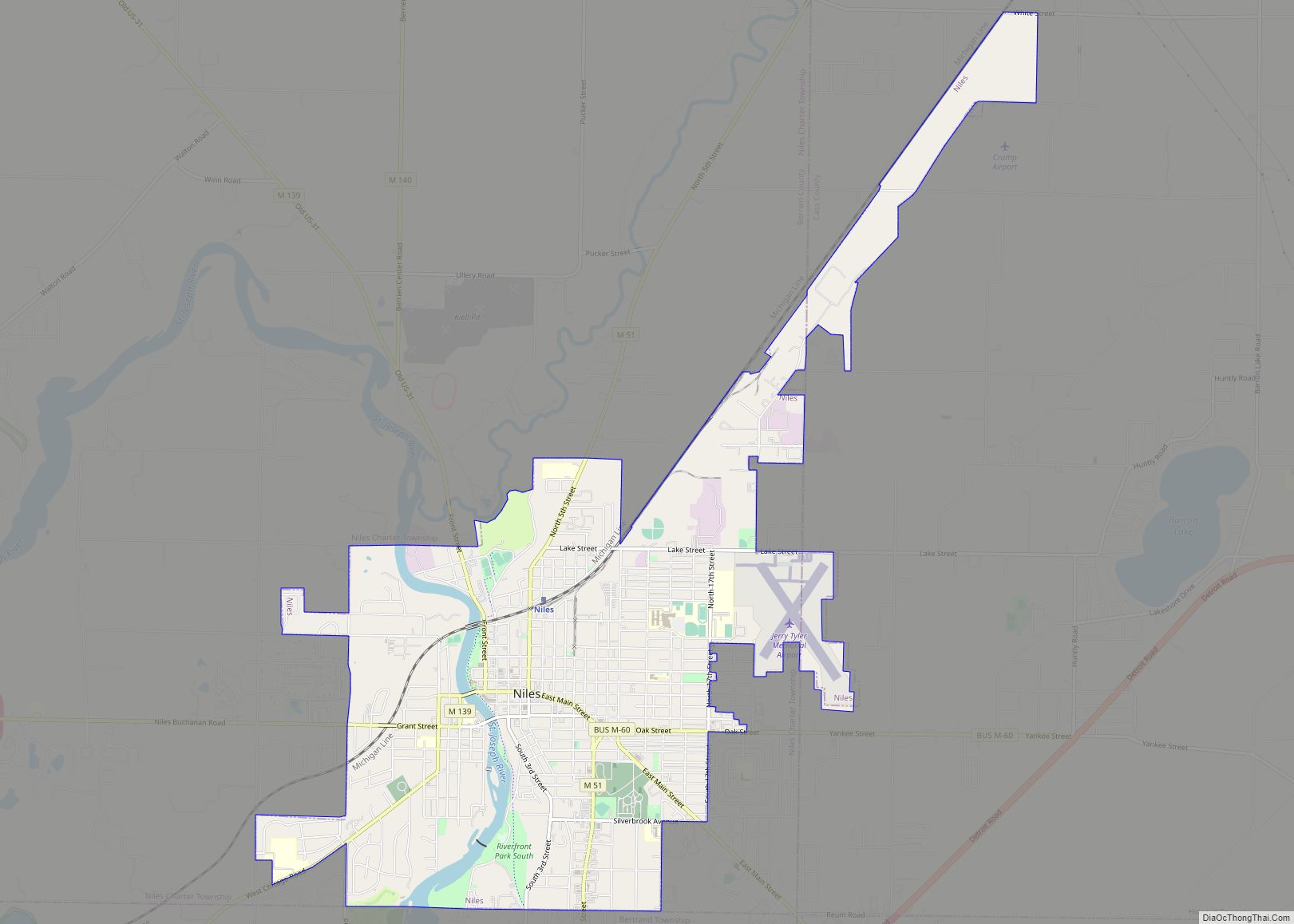
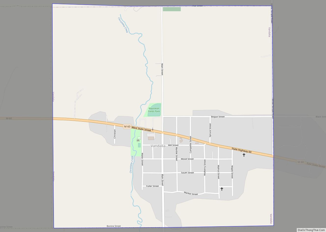
Online Interactive Map
Click on ![]() to view map in "full screen" mode.
to view map in "full screen" mode.
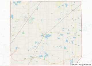
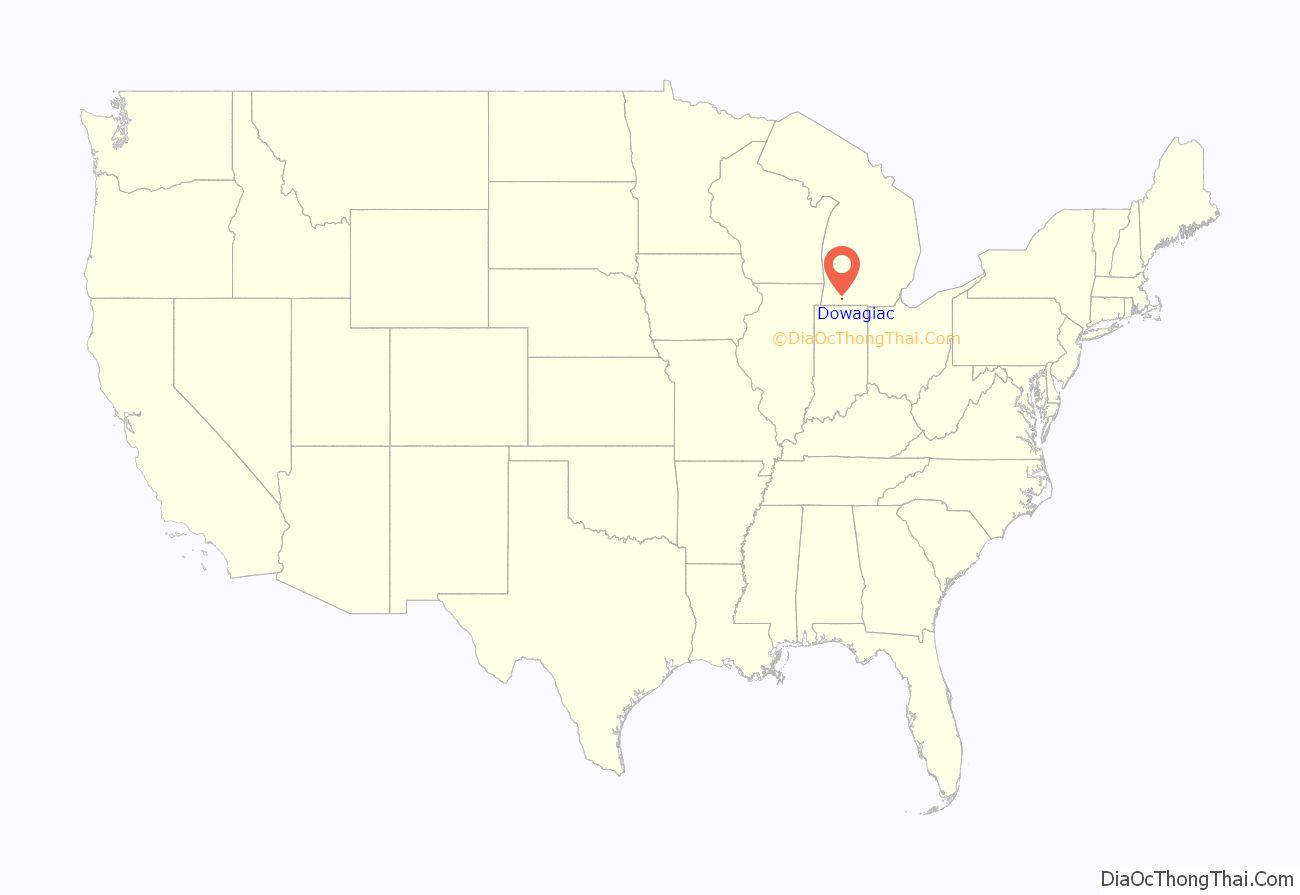
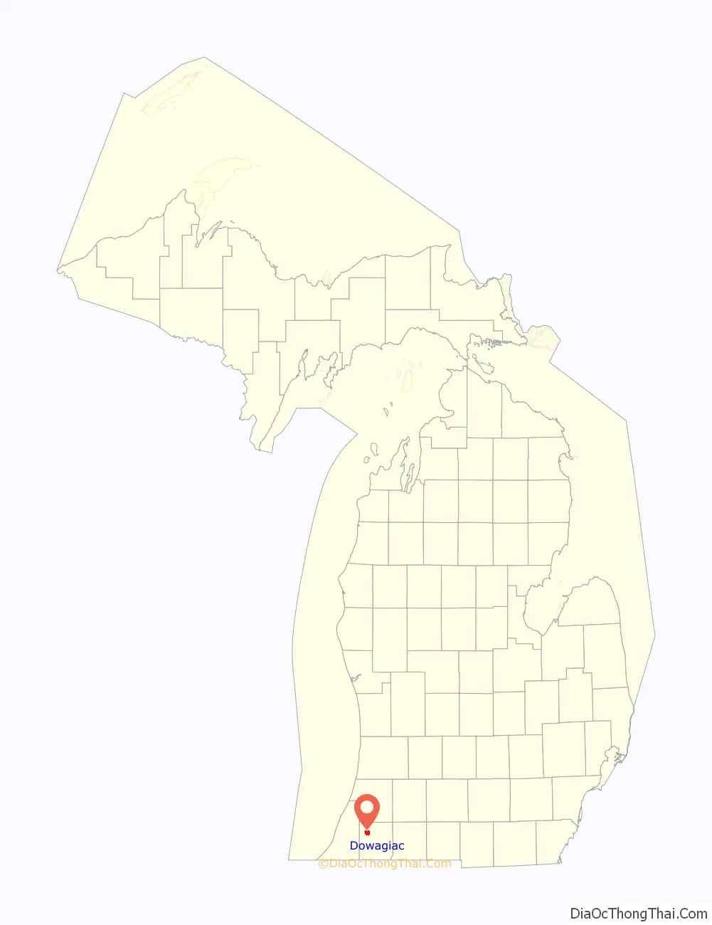
Dowagiac location map. Where is Dowagiac city?
History
Dowagiac was first platted in 1848. It was incorporated as a village in 1863 and as a city in 1877. Dowagiac gained national attention in June 1964 after police began investigating multiple reports of what became known as the Dewey Lake Monster.
In 1854, Dowagiac was the final destination for the first group of orphans brought to the Midwest from New York City on the Orphan Train.
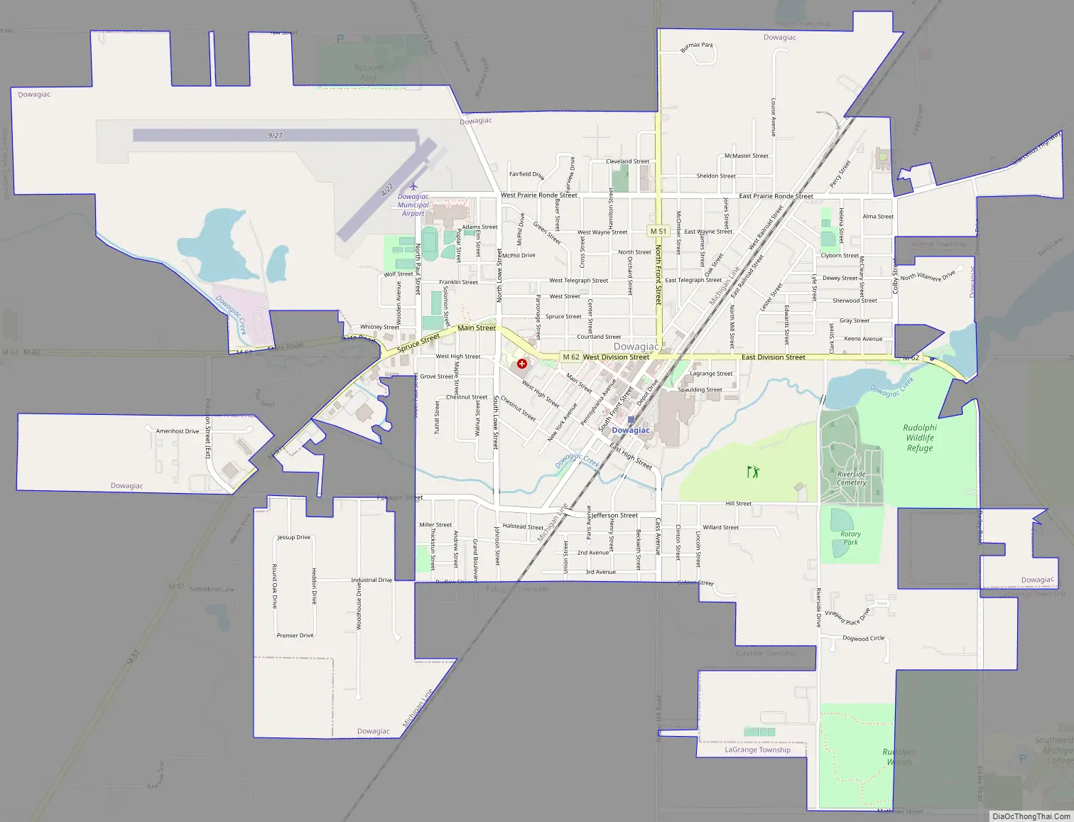
Dowagiac Road Map
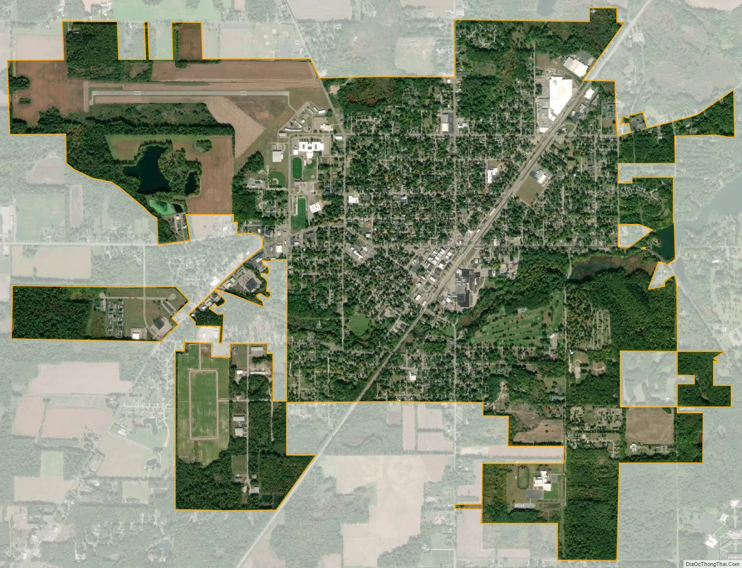
Dowagiac city Satellite Map
Geography
According to the United States Census Bureau, the city has a total area of 4.54 square miles (11.76 km), of which 4.46 square miles (11.55 km) is land and 0.08 square miles (0.21 km) is water.
Dowagiac Woods Nature Sanctuary, commonly referred to as Dowagiac Woods, a 235 acres (0.95 km) woods located in Cass, is a non-profit organization dedicated to protecting Michigan’s exceptional natural habitats and extraordinary and endangered plants and animals.
The Dowagiac River flows from the stream which rises as the “Dowagiac Drain” in central Decatur Township in southern Van Buren County, Michigan. It is joined first by the “Red Run” and then by the “Lake of the Woods Drain” near the southern edge of Hamilton Township, it becomes the “Dowagiac River” before entering Wayne Township in Cass County. North of the city of Dowagiac, the river passes through the “Dowagiac Swamp”. Just west of Dowagiac, the river is joined by its principal tributary, the “Dowagiac Creek”.
Climate
See also
Map of Michigan State and its subdivision:- Alcona
- Alger
- Allegan
- Alpena
- Antrim
- Arenac
- Baraga
- Barry
- Bay
- Benzie
- Berrien
- Branch
- Calhoun
- Cass
- Charlevoix
- Cheboygan
- Chippewa
- Clare
- Clinton
- Crawford
- Delta
- Dickinson
- Eaton
- Emmet
- Genesee
- Gladwin
- Gogebic
- Grand Traverse
- Gratiot
- Hillsdale
- Houghton
- Huron
- Ingham
- Ionia
- Iosco
- Iron
- Isabella
- Jackson
- Kalamazoo
- Kalkaska
- Kent
- Keweenaw
- Lake
- Lake Hurron
- Lake Michigan
- Lake St. Clair
- Lake Superior
- Lapeer
- Leelanau
- Lenawee
- Livingston
- Luce
- Mackinac
- Macomb
- Manistee
- Marquette
- Mason
- Mecosta
- Menominee
- Midland
- Missaukee
- Monroe
- Montcalm
- Montmorency
- Muskegon
- Newaygo
- Oakland
- Oceana
- Ogemaw
- Ontonagon
- Osceola
- Oscoda
- Otsego
- Ottawa
- Presque Isle
- Roscommon
- Saginaw
- Saint Clair
- Saint Joseph
- Sanilac
- Schoolcraft
- Shiawassee
- Tuscola
- Van Buren
- Washtenaw
- Wayne
- Wexford
- Alabama
- Alaska
- Arizona
- Arkansas
- California
- Colorado
- Connecticut
- Delaware
- District of Columbia
- Florida
- Georgia
- Hawaii
- Idaho
- Illinois
- Indiana
- Iowa
- Kansas
- Kentucky
- Louisiana
- Maine
- Maryland
- Massachusetts
- Michigan
- Minnesota
- Mississippi
- Missouri
- Montana
- Nebraska
- Nevada
- New Hampshire
- New Jersey
- New Mexico
- New York
- North Carolina
- North Dakota
- Ohio
- Oklahoma
- Oregon
- Pennsylvania
- Rhode Island
- South Carolina
- South Dakota
- Tennessee
- Texas
- Utah
- Vermont
- Virginia
- Washington
- West Virginia
- Wisconsin
- Wyoming