Niles is a city in Berrien and Cass counties in the U.S. state of Michigan, near the Indiana state line city of South Bend. In 2010, the population was 11,600 according to the 2010 census. It is the larger, by population, of the two principal cities in the Niles-Benton Harbor Metropolitan Statistical Area, an area with 156,813 people.
Niles lies on the banks of the St. Joseph River, at the site of the French Fort St. Joseph, which was built in 1697 to protect the Jesuit Mission established in 1691. After 1761, it was held by the British and was captured on May 25, 1763, by Native Americans during Pontiac’s Rebellion. The British retook the fort but it was not re-garrisoned and served as a trading post. During the American Revolutionary War, the fort was held for a short time by a Spanish force. The occupation of the fort by the four nations of France, Britain, Spain, and the United States has earned Niles the nickname City of Four Flags.
The town was named after Hezekiah Niles, editor of the Niles Register, a Baltimore newspaper. The town of Niles as it exists today was settled in 1827. Between 1820 and 1865, Niles was an integral part of the Underground Railroad, helping slaves escape from as far south as New Orleans through the Heartland, and eventually into Canada.
| Name: | Niles city |
|---|---|
| LSAD Code: | 25 |
| LSAD Description: | city (suffix) |
| State: | Michigan |
| County: | Berrien County, Cass County |
| Incorporated: | 1829 (village) 1835 (city) |
| Elevation: | 686 ft (209 m) |
| Total Area: | 5.95 sq mi (15.42 km²) |
| Land Area: | 5.79 sq mi (15.01 km²) |
| Water Area: | 0.16 sq mi (0.41 km²) |
| Total Population: | 11,988 |
| Population Density: | 2,069.04/sq mi (798.79/km²) |
| Area code: | 269 |
| FIPS code: | 2657760 |
| GNISfeature ID: | 0633412 |
Online Interactive Map
Click on ![]() to view map in "full screen" mode.
to view map in "full screen" mode.
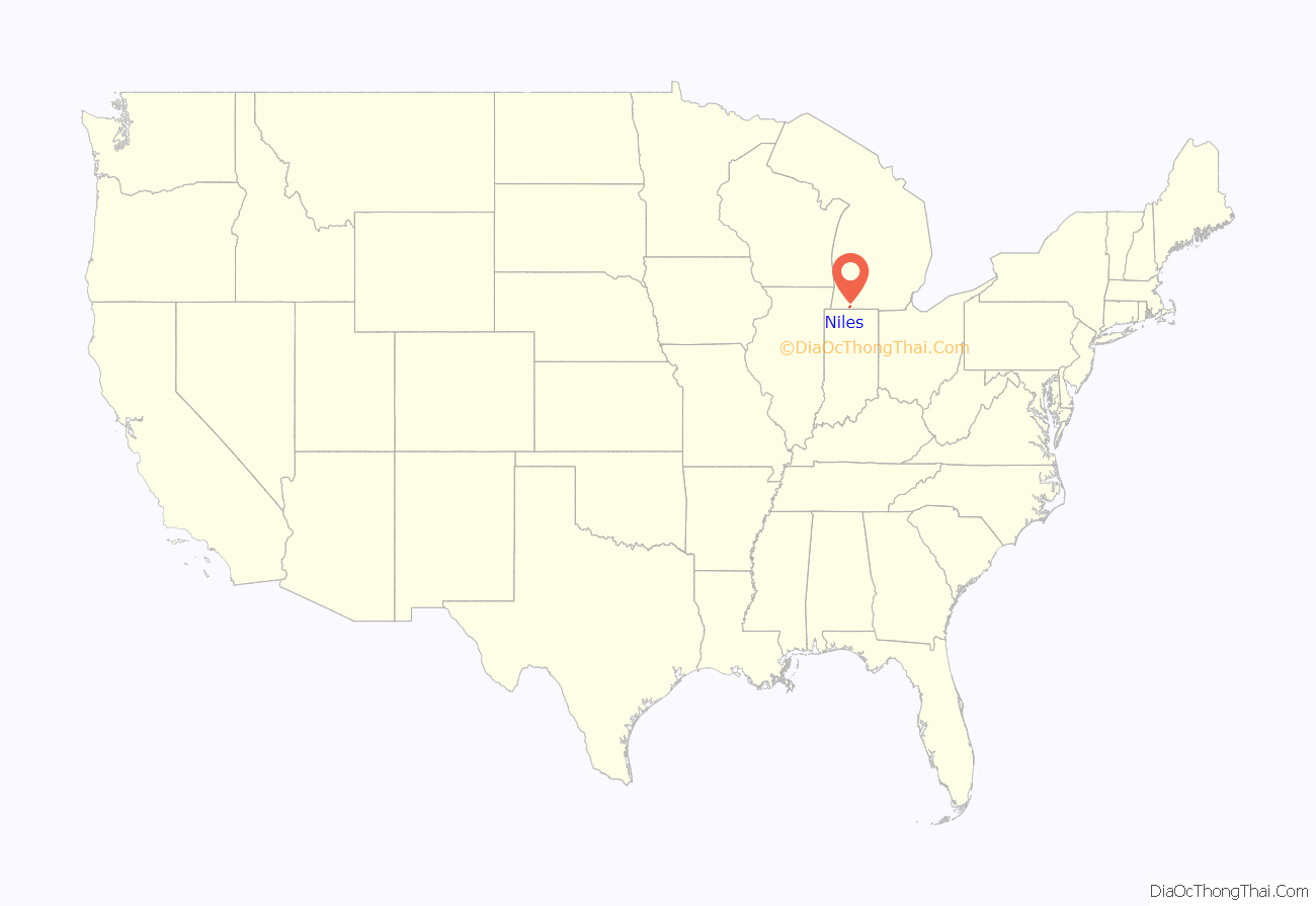
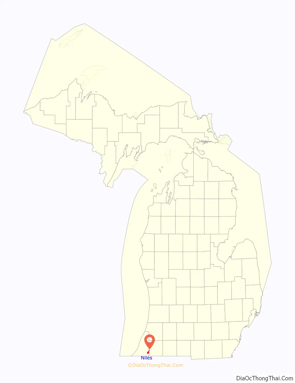
Niles location map. Where is Niles city?
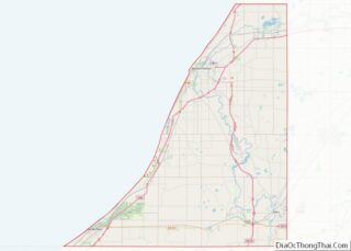
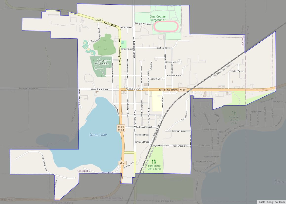
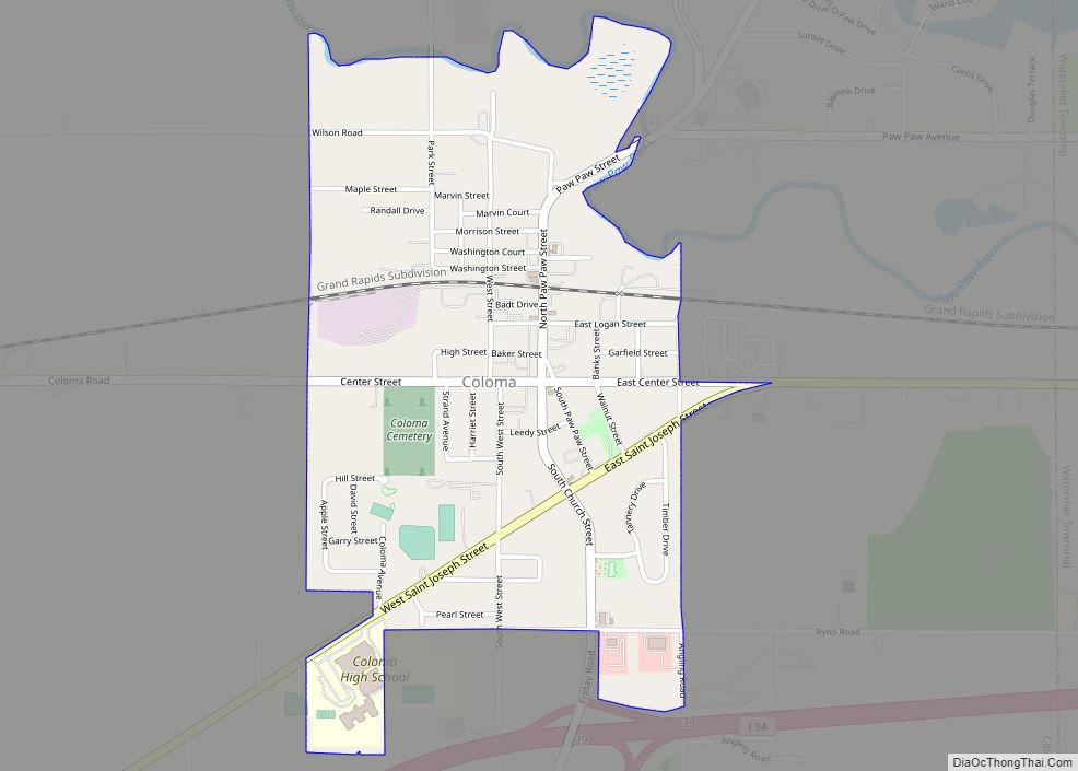
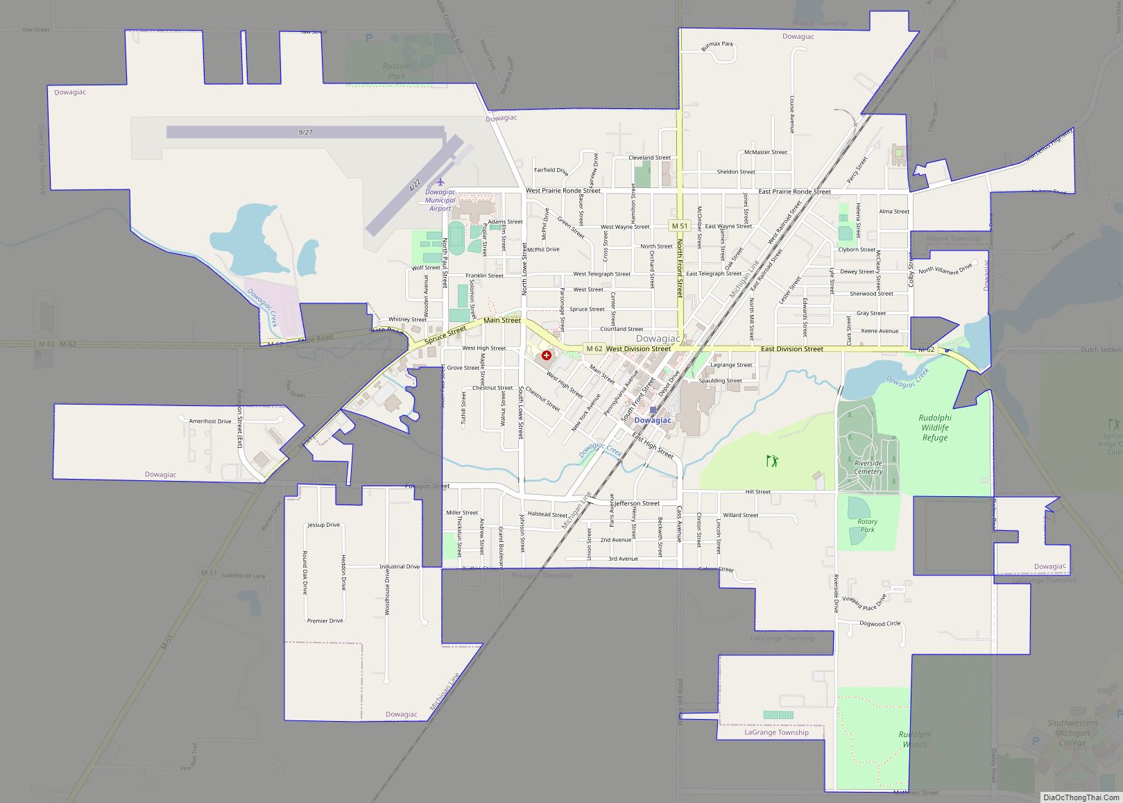
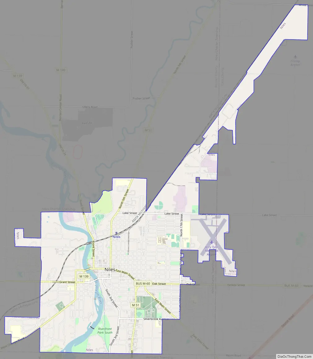
Niles Road Map
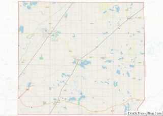
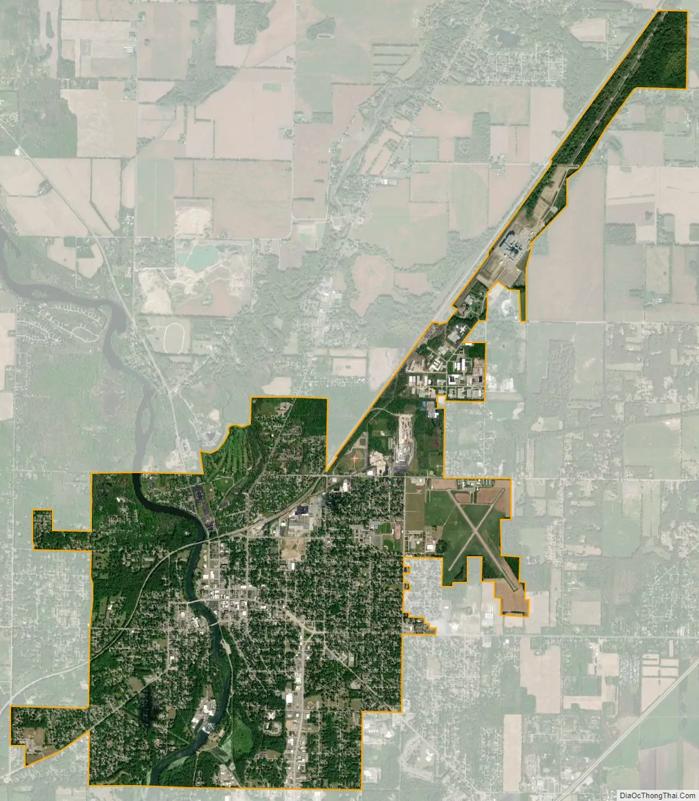
Niles city Satellite Map
Geography
The city is situated on the St. Joseph River and is mostly surrounded by Niles Township. Glacial deposits of large boulders and smooth stones mingle with heavy sedimentary deposits, producing rolling hills and steep river banks. The soil is rich and fertile. Crinoid and related fossils are easily found south of the city.
According to the United States Census Bureau, the city has a total area of 5.95 square miles (15.41 km), of which 5.79 square miles (15.00 km) is land and 0.16 square miles (0.41 km) is water.
Climate
See also
Map of Michigan State and its subdivision:- Alcona
- Alger
- Allegan
- Alpena
- Antrim
- Arenac
- Baraga
- Barry
- Bay
- Benzie
- Berrien
- Branch
- Calhoun
- Cass
- Charlevoix
- Cheboygan
- Chippewa
- Clare
- Clinton
- Crawford
- Delta
- Dickinson
- Eaton
- Emmet
- Genesee
- Gladwin
- Gogebic
- Grand Traverse
- Gratiot
- Hillsdale
- Houghton
- Huron
- Ingham
- Ionia
- Iosco
- Iron
- Isabella
- Jackson
- Kalamazoo
- Kalkaska
- Kent
- Keweenaw
- Lake
- Lake Hurron
- Lake Michigan
- Lake St. Clair
- Lake Superior
- Lapeer
- Leelanau
- Lenawee
- Livingston
- Luce
- Mackinac
- Macomb
- Manistee
- Marquette
- Mason
- Mecosta
- Menominee
- Midland
- Missaukee
- Monroe
- Montcalm
- Montmorency
- Muskegon
- Newaygo
- Oakland
- Oceana
- Ogemaw
- Ontonagon
- Osceola
- Oscoda
- Otsego
- Ottawa
- Presque Isle
- Roscommon
- Saginaw
- Saint Clair
- Saint Joseph
- Sanilac
- Schoolcraft
- Shiawassee
- Tuscola
- Van Buren
- Washtenaw
- Wayne
- Wexford
- Alabama
- Alaska
- Arizona
- Arkansas
- California
- Colorado
- Connecticut
- Delaware
- District of Columbia
- Florida
- Georgia
- Hawaii
- Idaho
- Illinois
- Indiana
- Iowa
- Kansas
- Kentucky
- Louisiana
- Maine
- Maryland
- Massachusetts
- Michigan
- Minnesota
- Mississippi
- Missouri
- Montana
- Nebraska
- Nevada
- New Hampshire
- New Jersey
- New Mexico
- New York
- North Carolina
- North Dakota
- Ohio
- Oklahoma
- Oregon
- Pennsylvania
- Rhode Island
- South Carolina
- South Dakota
- Tennessee
- Texas
- Utah
- Vermont
- Virginia
- Washington
- West Virginia
- Wisconsin
- Wyoming