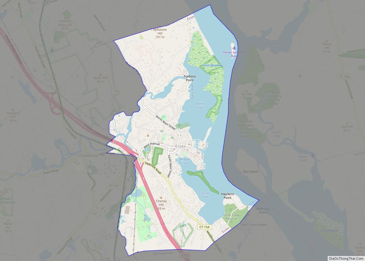
Essex Village is a village and census-designated place (CDP) in the town of Essex, Connecticut, in the United States. The population was 2,583 at the 2020 census, out of 6,733 in the entire town of Essex. The government offices of the town are located within the village.
| Name: | Essex Village CDP |
|---|---|
| LSAD Code: | 57 |
| LSAD Description: | CDP (suffix) |
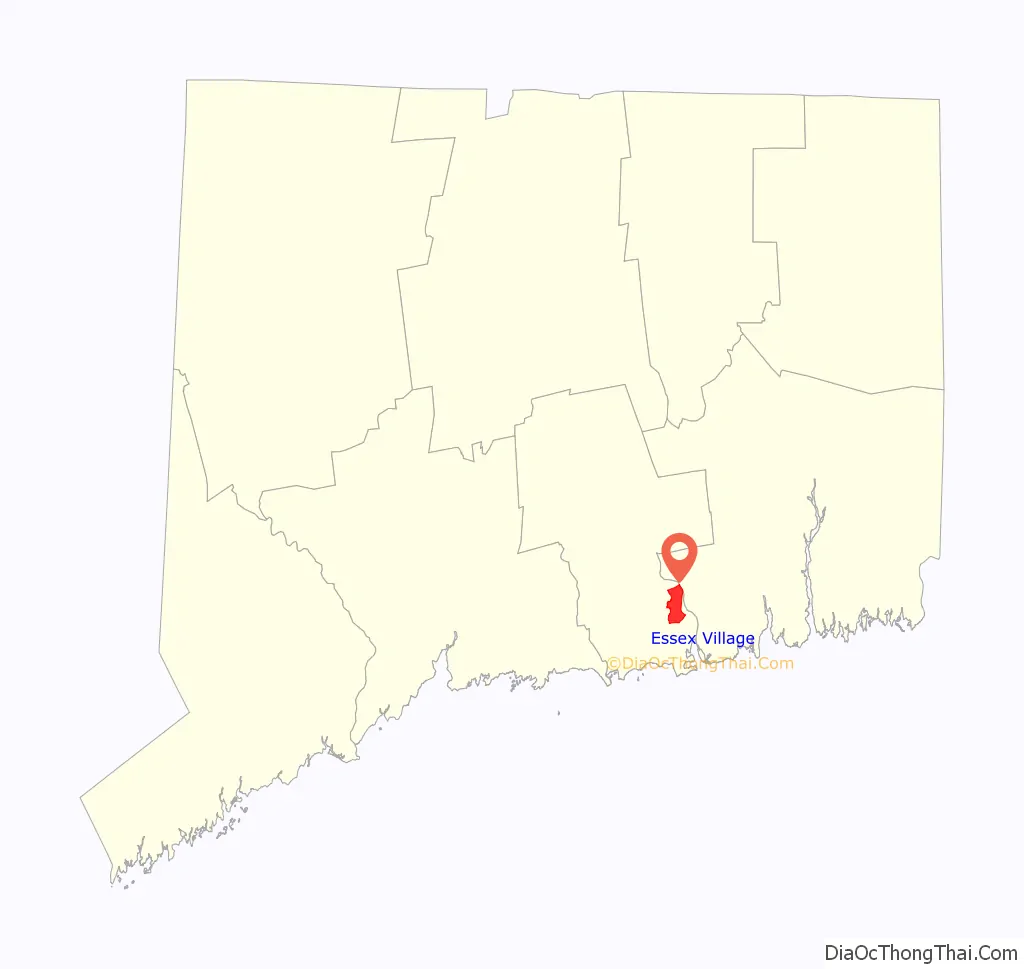
| State: | Connecticut |
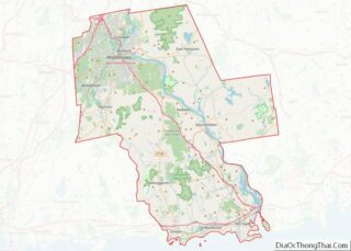
| County: | Middlesex County |
| Elevation: | 10 m (40 ft) |
| Total Area: | 13.4 km² (5.16 sq mi) |
| Land Area: | 9.9 km² (3.84 sq mi) |
| Water Area: | 3.4 km² (1.32 sq mi) |
| Total Population: | 2,583 |
| Population Density: | 672.5/km² (1,742/sq mi) |
| ZIP code: | 06426 (Essex) |
| Area code: | 860/959 |
| FIPS code: | 0926370 |
| GNISfeature ID: | 2377820 |
Online Interactive Map
Click on ![]() to view map in "full screen" mode.
to view map in "full screen" mode.
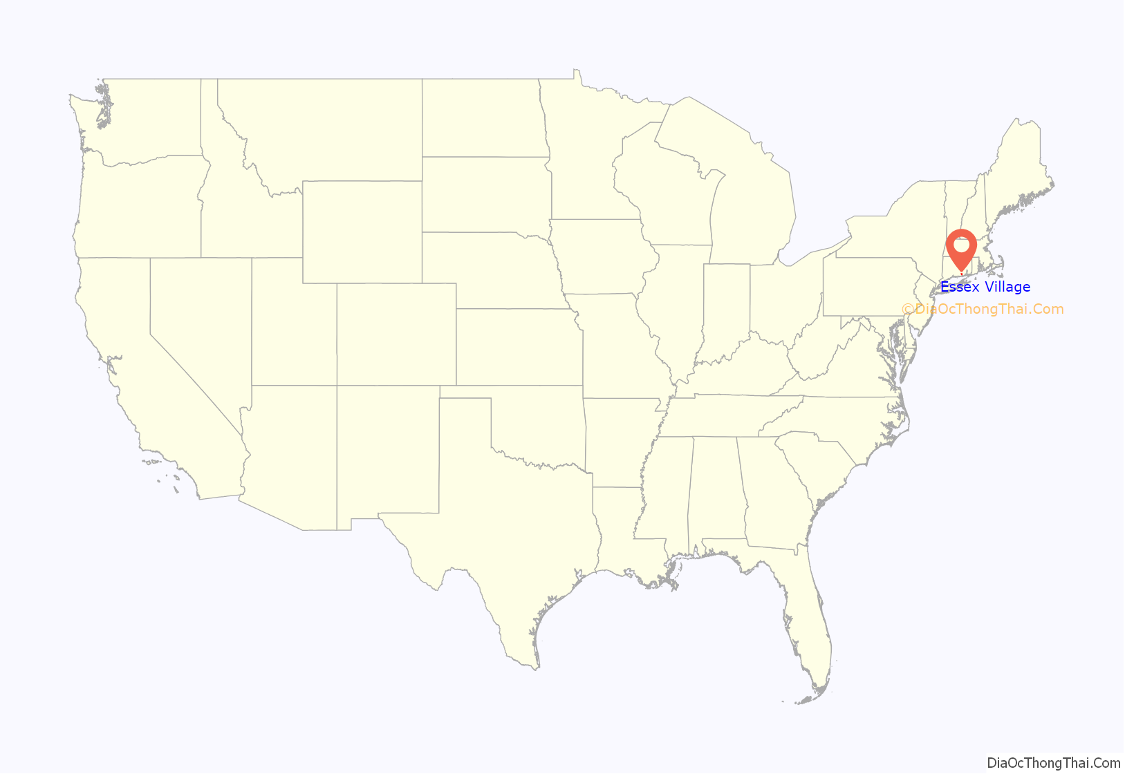
Essex Village location map. Where is Essex Village CDP?
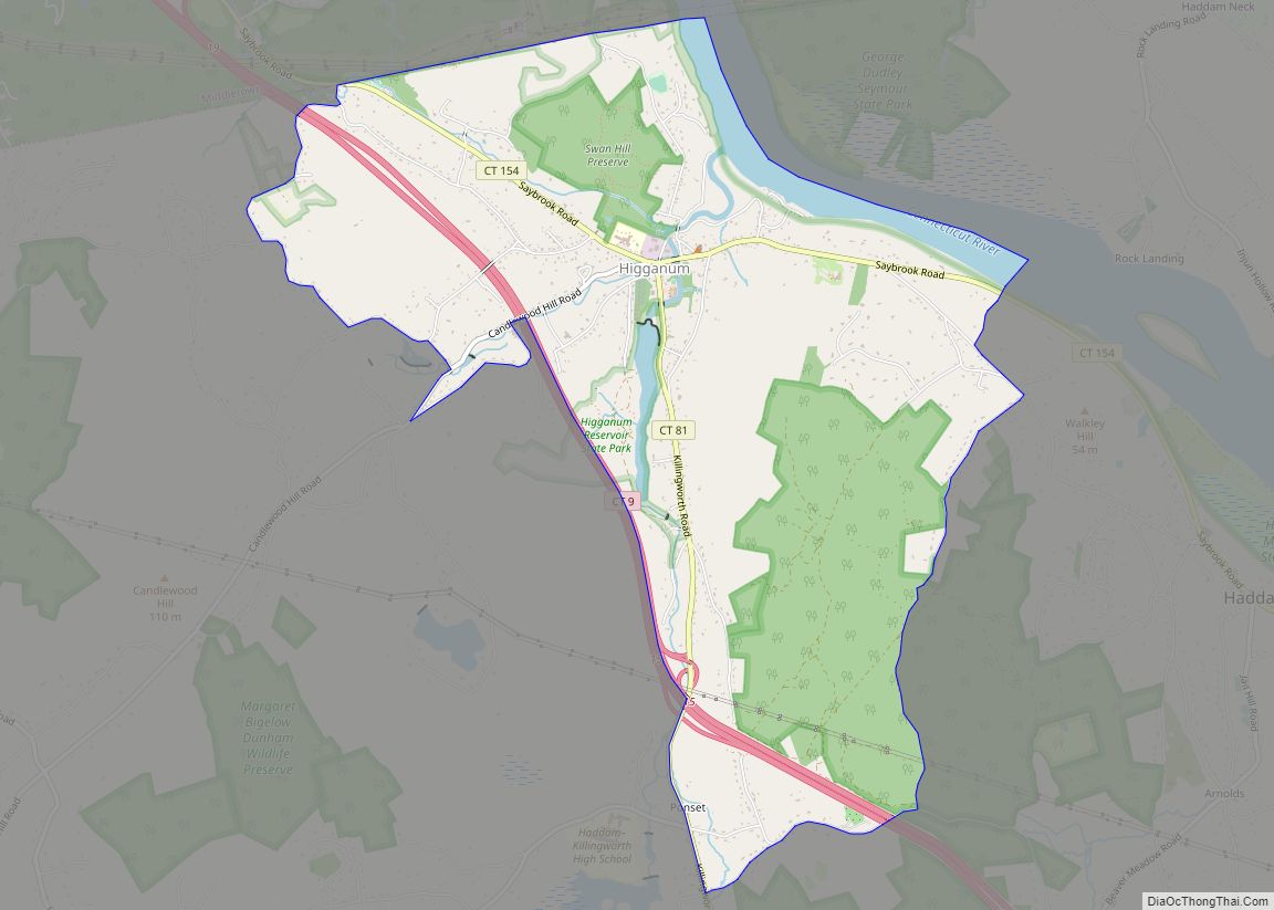
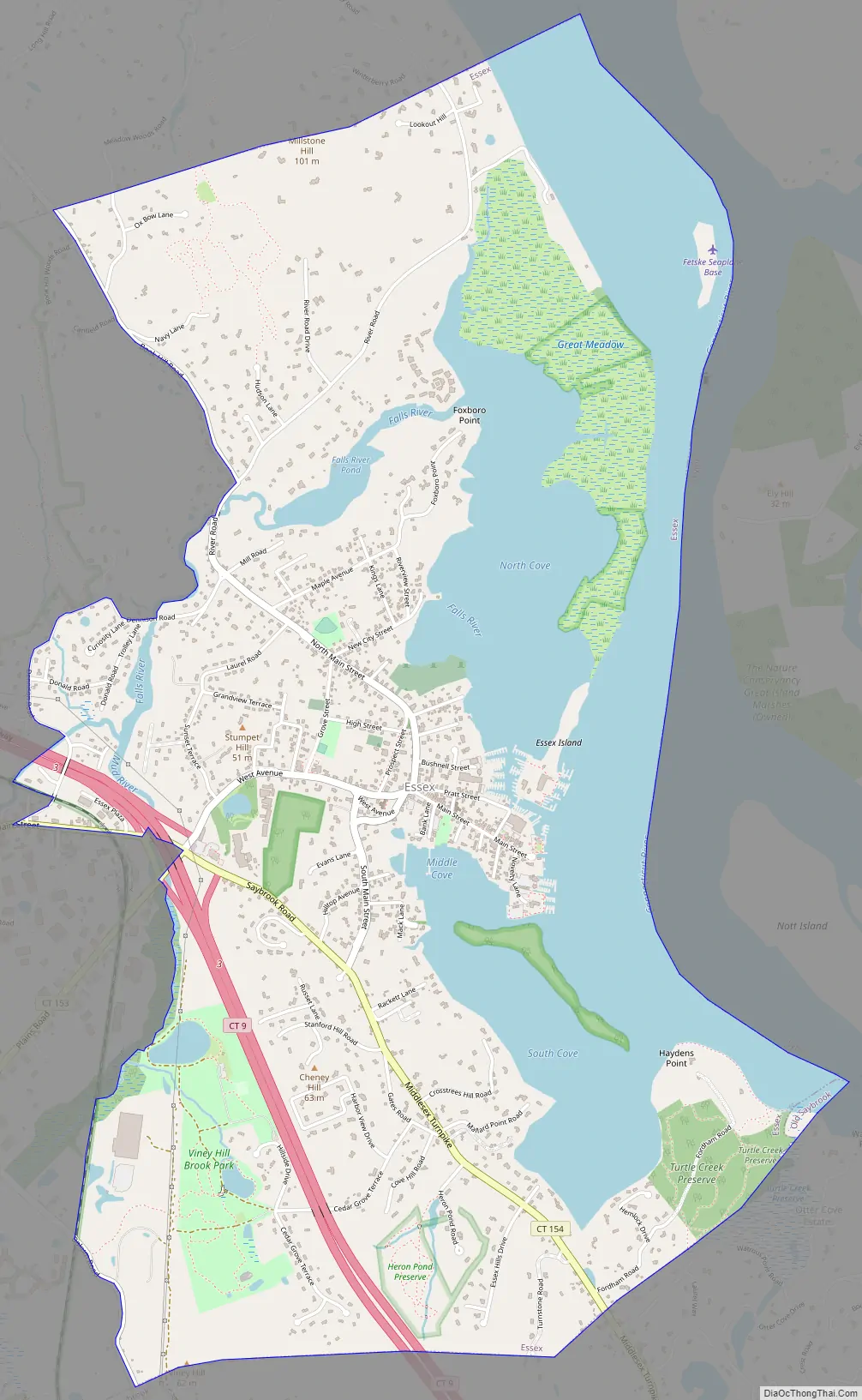
Essex Village Road Map
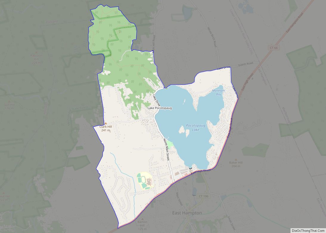
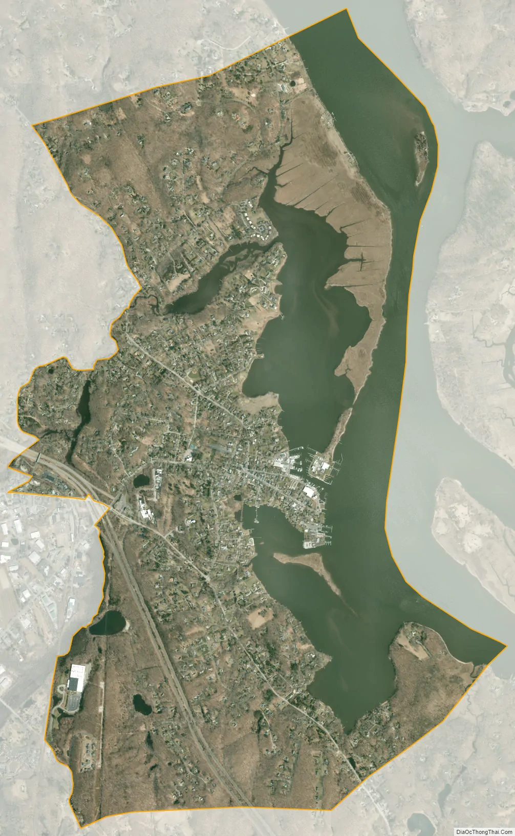
Essex Village city Satellite Map
Geography
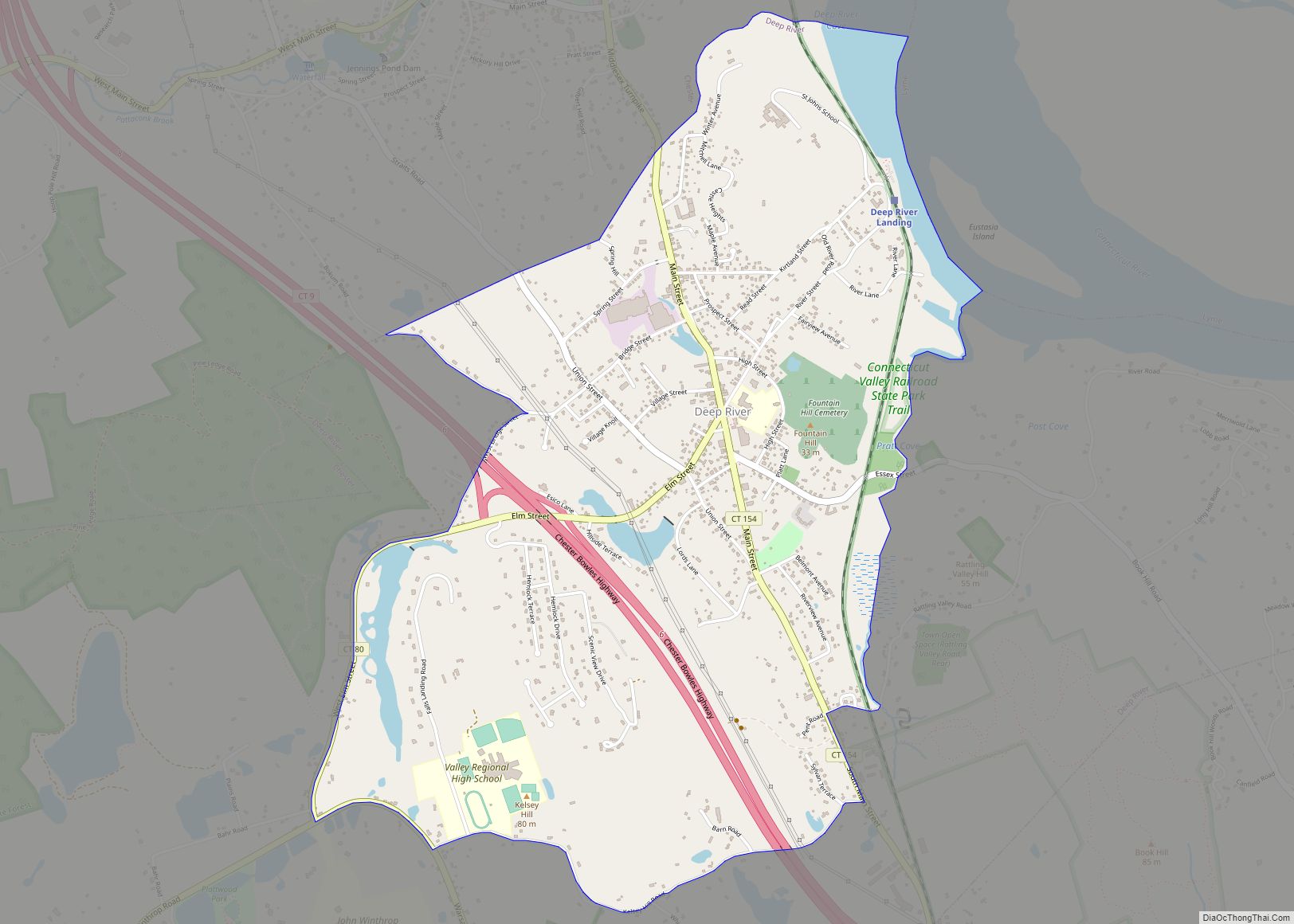
The village is located in the eastern part of the town, along the banks of the Connecticut River. The census-designated place extends from the border of the town of Old Saybrook in the south to the Deep River town line in the north. The western edge of the CDP runs from north to south along the border of the Canfield-Meadow Woods Nature Preserve; Dennison Road; small portions of the Falls River and Connecticut Routes 154 and 621; the Mud River; the Connecticut Valley Railroad; and Bokum Road. The Route 9 expressway passes through the western part of the CDP, with access from Exit 3.
According to the United States Census Bureau, the CDP has a total area of 5.16 square miles (13.4 km), of which 3.84 square miles (9.9 km) are land and 1.32 square miles (3.4 km), or 25.58%, are water.
See also
Map of Connecticut State and its subdivision: Map of other states:- Alabama
- Alaska
- Arizona
- Arkansas
- California
- Colorado
- Connecticut
- Delaware
- District of Columbia
- Florida
- Georgia
- Hawaii
- Idaho
- Illinois
- Indiana
- Iowa
- Kansas
- Kentucky
- Louisiana
- Maine
- Maryland
- Massachusetts
- Michigan
- Minnesota
- Mississippi
- Missouri
- Montana
- Nebraska
- Nevada
- New Hampshire
- New Jersey
- New Mexico
- New York
- North Carolina
- North Dakota
- Ohio
- Oklahoma
- Oregon
- Pennsylvania
- Rhode Island
- South Carolina
- South Dakota
- Tennessee
- Texas
- Utah
- Vermont
- Virginia
- Washington
- West Virginia
- Wisconsin
- Wyoming