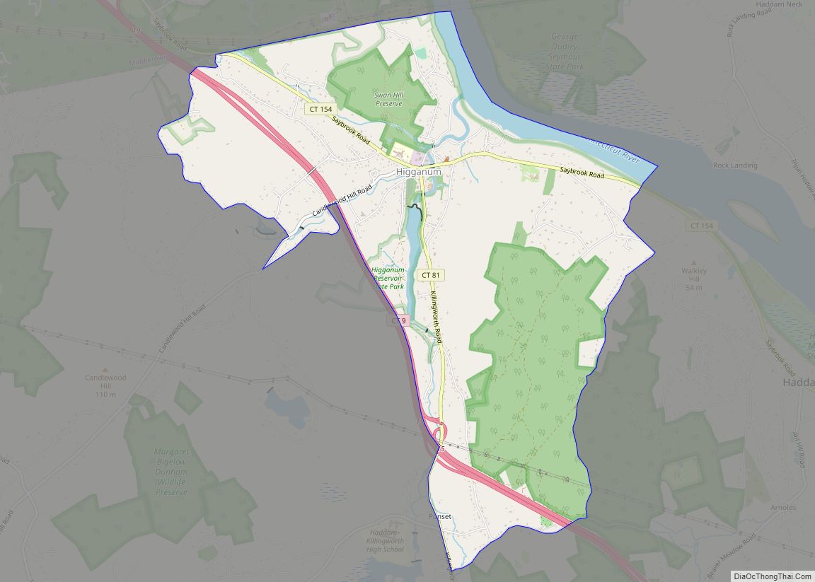
Higganum is a village and census-designated place (CDP) in the town of Haddam, a part of Middlesex County, Connecticut, United States. The population was 2,089 at the 2020 census.
| Name: | Higganum CDP |
|---|---|
| LSAD Code: | 57 |
| LSAD Description: | CDP (suffix) |
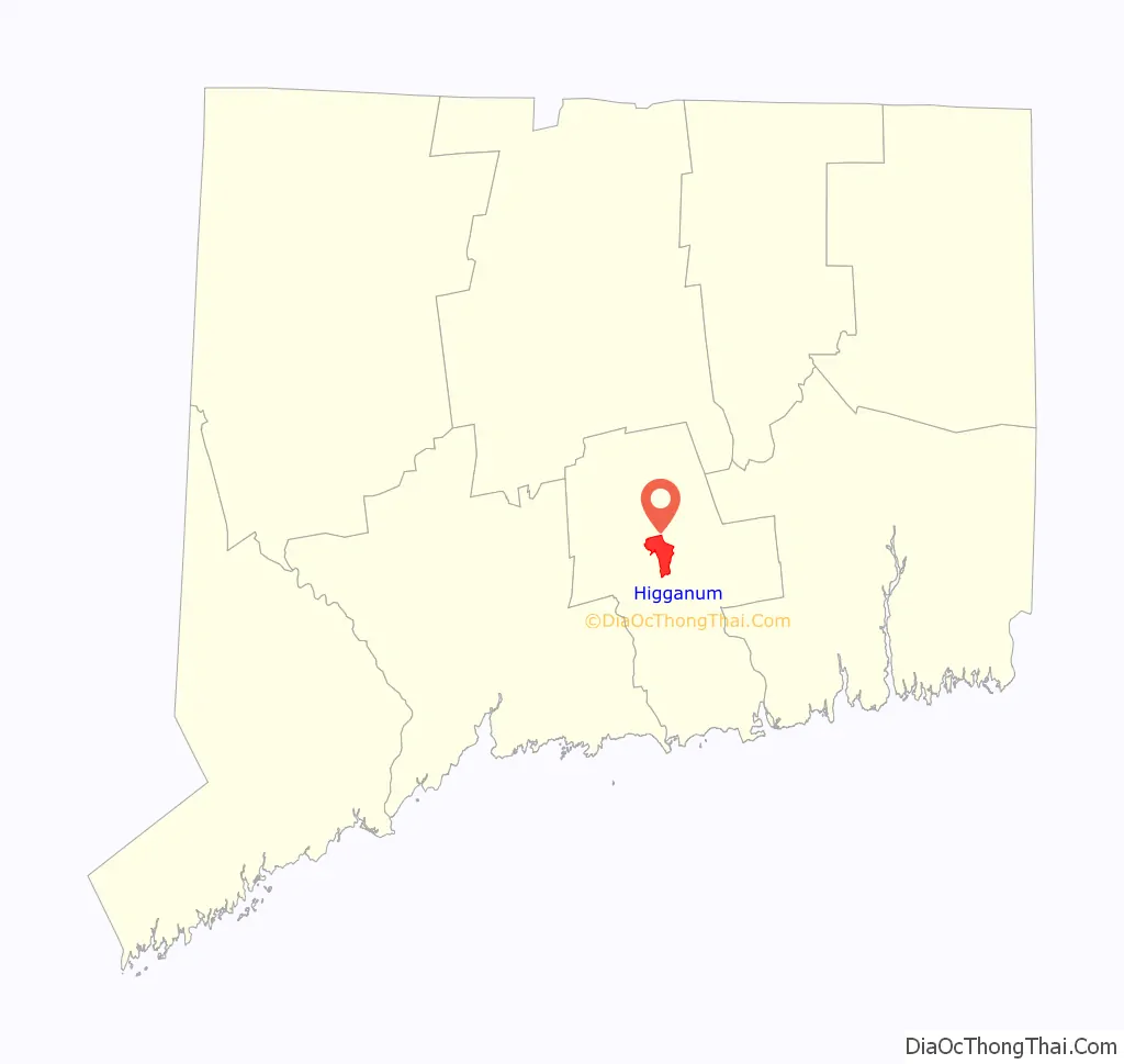
| State: | Connecticut |
| County: | Middlesex County |
| Elevation: | 19 m (61 ft) |
| Total Area: | 16.9 km² (6.52 sq mi) |
| Land Area: | 16.1 km² (6.21 sq mi) |
| Water Area: | 0.8 km² (0.31 sq mi) |
| Total Population: | 2,089 |
| Population Density: | 336.7/km² (872/sq mi) |
| ZIP code: | 06441 |
| Area code: | 860/959 |
| FIPS code: | 0938050 |
| GNISfeature ID: | 2377826 |
Online Interactive Map
Click on ![]() to view map in "full screen" mode.
to view map in "full screen" mode.
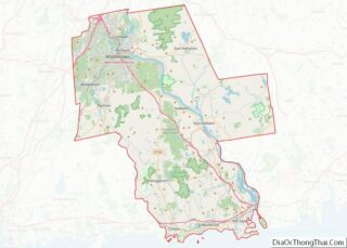
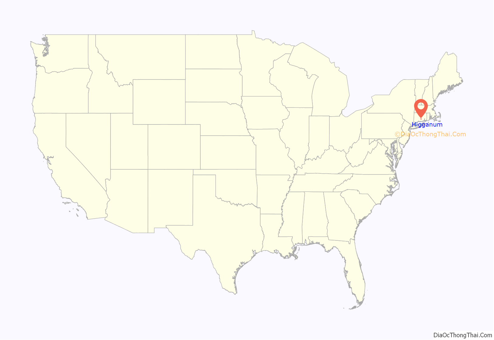
Higganum location map. Where is Higganum CDP?
History
The name “Higganum” is derived from an Indian name meaning either “at the tomahawk rock” or “Great Bend in River”.
At about 1800, Higganum Center was the area of most economic activity in the town. The neighborhood had abundant water power, and Higganum Landing on the Connecticut River formed a natural cove that served as a river port and shipbuilding center from the late 1700s through the mid-1800s. Scovil Hoe Company, which made hoes that helped till soil for crops that included cotton and tobacco, once had a major factory based in Higganum. Higganum Landing Historic District has been listed on the National Register of Historic Places since 2018.
Higganum now encompasses the town’s traditional center and remains the shopping and civic center for Haddam. It has a center green with a veterans’ memorial, Shad museum, a youth center and a gazebo. The center has a “feed store”, one bank, a post office, two liquor stores, a barbershop, dry cleaners, restaurants, Dunkin’ Donuts, and an ice cream shop.
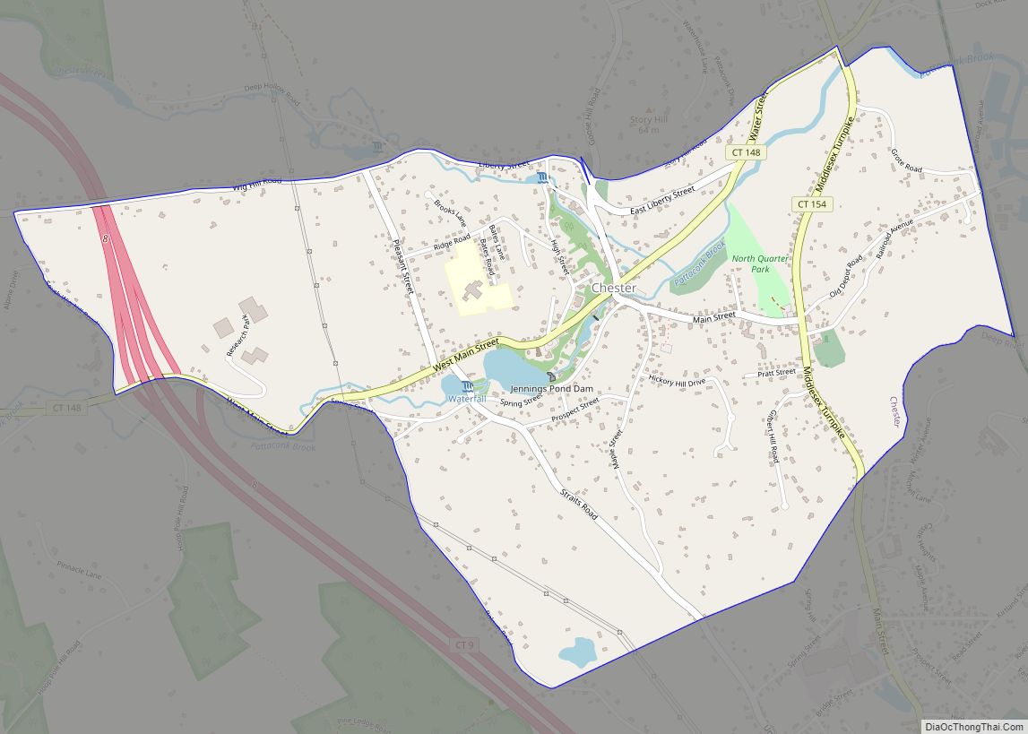
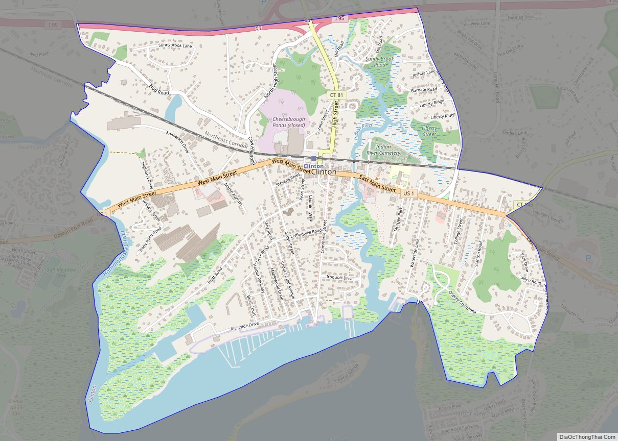
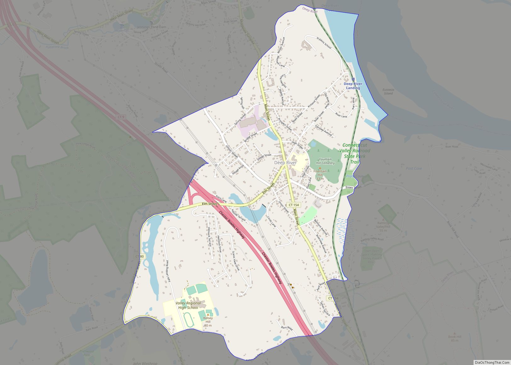
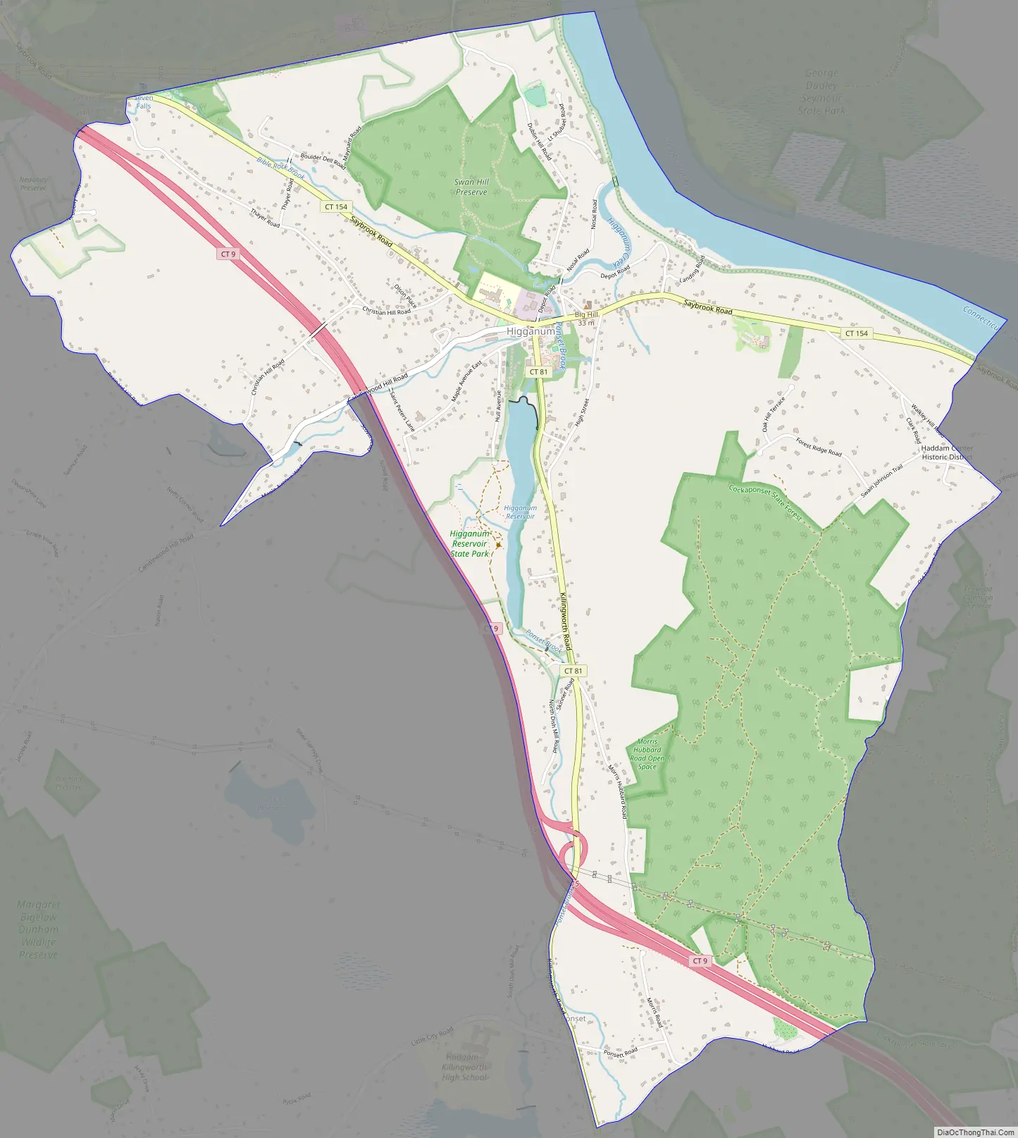
Higganum Road Map
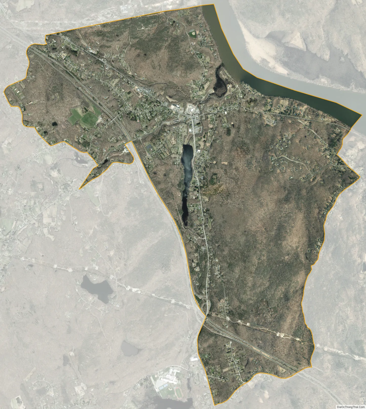
Higganum city Satellite Map
Geography
Higganum lies on the southwest banks of the Connecticut River and is found immediately south of Middletown. Geographical landmarks include Candlewood Hill, Candlewood Brook, Seven Falls and Bible Rock. According to the United States Census Bureau, the Higganum CDP has a total area of 6.5 square miles (17 km), of which 6.2 square miles (16 km) are land and 0.3 square miles (0.8 km), or 4.77%, are water.
See also
Map of Connecticut State and its subdivision: Map of other states:- Alabama
- Alaska
- Arizona
- Arkansas
- California
- Colorado
- Connecticut
- Delaware
- District of Columbia
- Florida
- Georgia
- Hawaii
- Idaho
- Illinois
- Indiana
- Iowa
- Kansas
- Kentucky
- Louisiana
- Maine
- Maryland
- Massachusetts
- Michigan
- Minnesota
- Mississippi
- Missouri
- Montana
- Nebraska
- Nevada
- New Hampshire
- New Jersey
- New Mexico
- New York
- North Carolina
- North Dakota
- Ohio
- Oklahoma
- Oregon
- Pennsylvania
- Rhode Island
- South Carolina
- South Dakota
- Tennessee
- Texas
- Utah
- Vermont
- Virginia
- Washington
- West Virginia
- Wisconsin
- Wyoming