Moodus is a village in the town of East Haddam, Connecticut, United States. The village is the basis of a census-designated place (CDP) of the same name. The population of the CDP was 1,982 as of the census of 2020.
| Name: | Moodus CDP |
|---|---|
| LSAD Code: | 57 |
| LSAD Description: | CDP (suffix) |
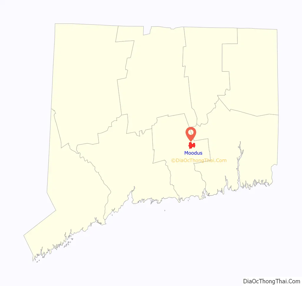
| State: | Connecticut |
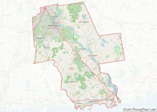
| County: | Middlesex County |
| Elevation: | 230 ft (70 m) |
| Total Area: | 3.39 sq mi (8.8 km²) |
| Land Area: | 3.37 sq mi (8.7 km²) |
| Water Area: | 0.02 sq mi (0.05 km²) 0.59% |
| Total Population: | 1,982 |
| ZIP code: | 06469 |
| Area code: | 860 |
| FIPS code: | 0949110 |
| GNISfeature ID: | 2377832 |
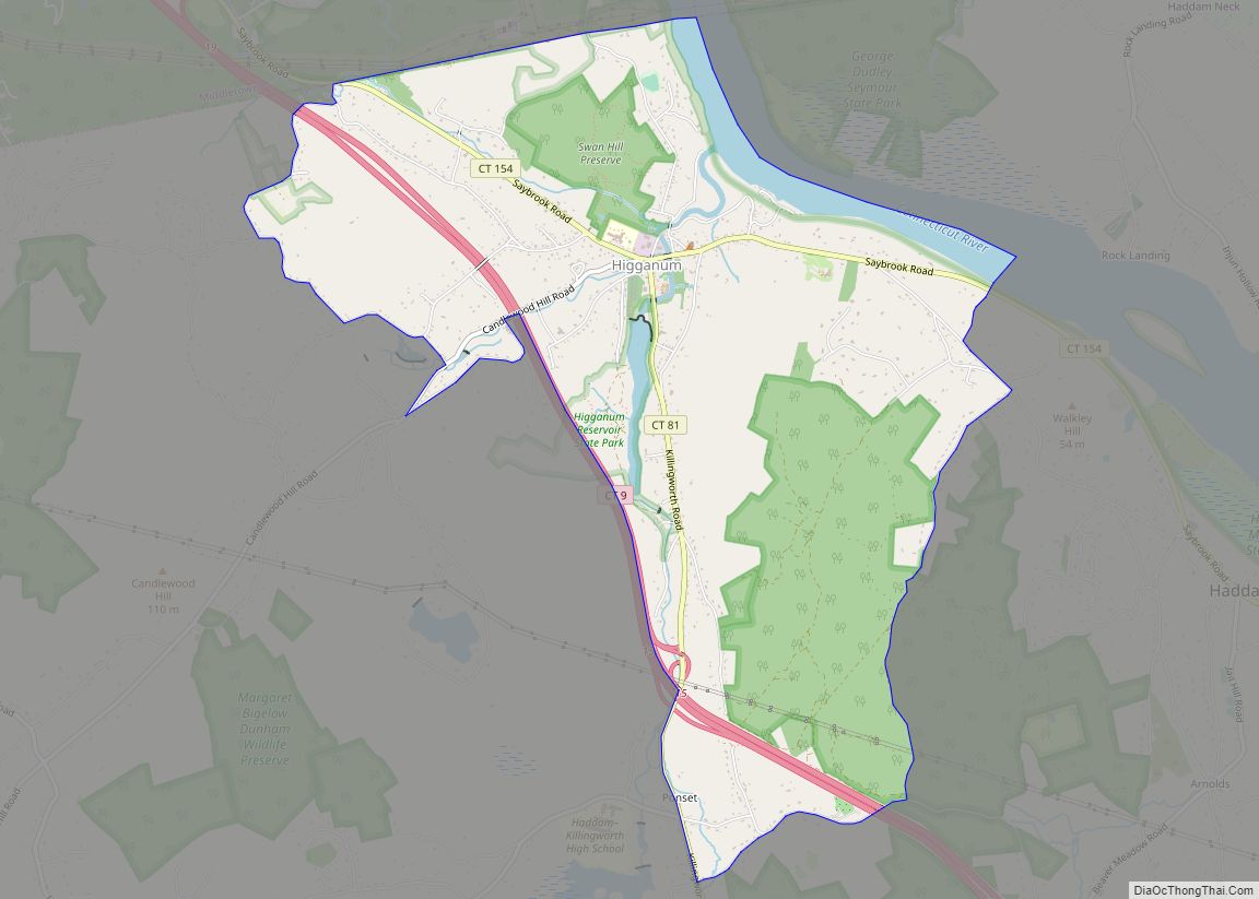
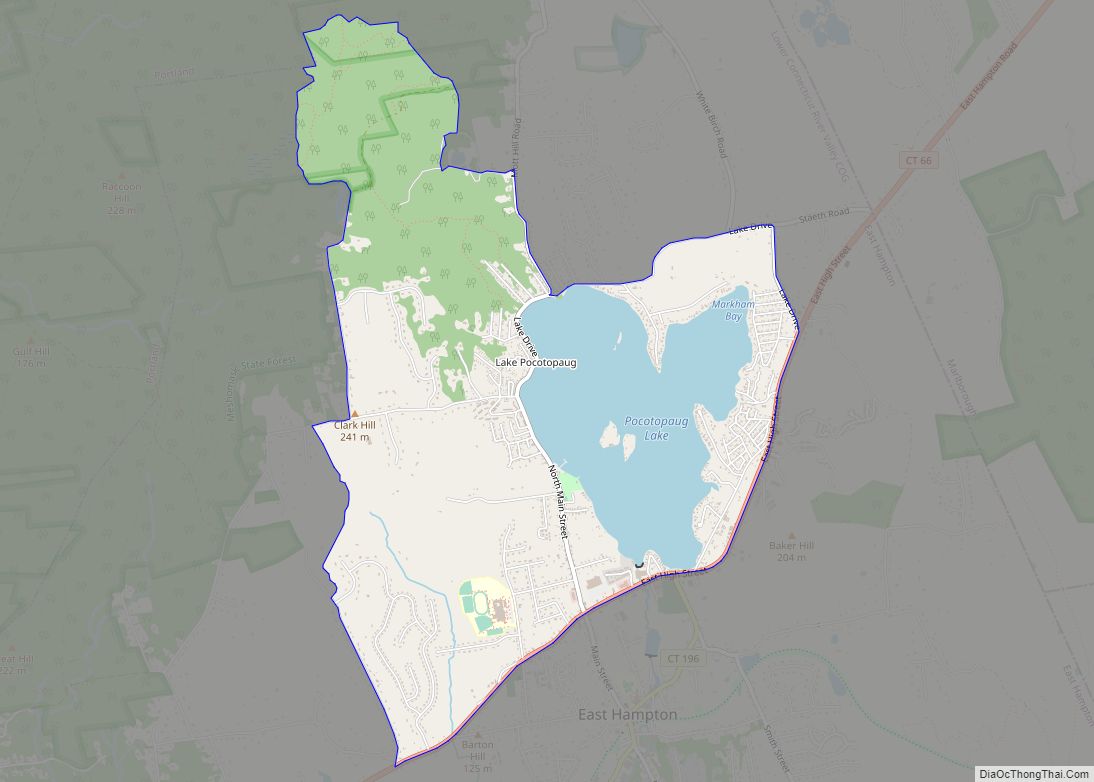
Online Interactive Map
Click on ![]() to view map in "full screen" mode.
to view map in "full screen" mode.
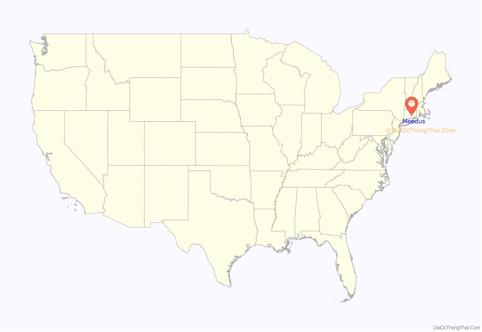
Moodus location map. Where is Moodus CDP?
History
Prior to its purchase by English settlers in 1662, the area around Moodus was inhabited by Native American Algonquians. The names of three of the inhabiting tribes are known. The Wangunks, the Mohegans and the Nehantics were their names. The name was derived from the Native American name for the area. The names was “Matchetmadosett” or “Matchitmoodus”. It can be translated to the place of noises. Its name possibly because of the frequent earthquakes in the area. Numerous earthquakes were recorded in the area between 1638 and 1899. Loud rumblings, possibly the “Moodus Noises”, could be heard for miles surrounding the epicenter of the quakes near Mt. Tom. The land, which is now the towns of Haddam and East Haddam, was purchased by settlers from the Indians in 1662 for thirty coats. In today’s money, it is worth about $100.
During the nineteenth century, Moodus was advertised as the “Twine Capital of America”, with twelve mills in operation. The most successful was Brownell & Company. Moodus was in an ideal location for textile production since it had access to ample water power and shipping (via the Connecticut River and the Connecticut Valley Railroad), and it was close to an enormous trading center and market, New York City. Moodus’s mills primarily manufactured cotton yarn, cotton duck, and twine, and that production lasted from 1819 to 1977. The mills also produced certain related products, particularly fishing nets and pearl buttons. A part of that textile mill history is preserved in the Johnsonville historical section of Moodus, named after one of the mill owners. Brownell was a pioneer with DuPont Corporation in the production of nylon products, and Brownell still manufacturers specialized textile-related products in Moodus such as archery bowstrings, helicopter cargo nets, and tennis nets.
Moodus had many local resorts that operated during the course of the early and mid-20th century. During the summer seasons of the 1940s and 1950s, people visiting the more than 30 Moodus-area resorts quadrupled East Haddam’s population to about 20,000 people. Nearby Bailey Beach on Bashan Lake was popular with local residents and vacationers alike. The resorts, boarding houses and camps of Moodus attracted Christian and Jewish vacationers primarily from New York, New Jersey, Massachusetts and other parts of Connecticut. One of the last resorts to remain in operation, Sunrise Resort, was purchased by the state of Connecticut in late 2008 to be incorporated into the adjacent Machimoodus State Park as a campground, and to protect “4,700 feet of additional frontage along the Salmon River”.
The village center, dubbed “Downtown Moodus”, located formerly at the intersection of routes CT 151 and CT 149, was a popular destination for resort guests. However most of the village was razed after the citizens of East Haddam controversially voted in 1967 to accept urban renewal funding to build a new commercial district for Moodus a quarter mile east, along CT 149. East Haddam was one of the smallest towns in the United States to participate in the urban renewal program.
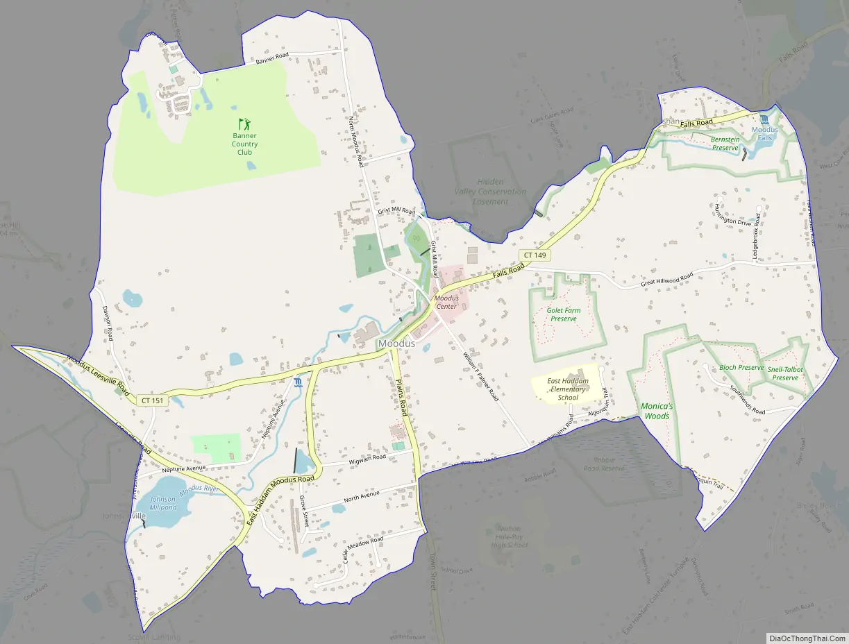
Moodus Road Map
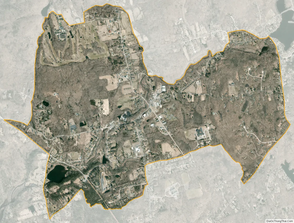
Moodus city Satellite Map
Geography
Moodus is in eastern Middlesex County, in the northwest part of the town of East Haddam. Connecticut Routes 149 and 151 pass through the village, Route 149 running northeast–southwest and Route 151 running northwest–south. Colchester is 8 miles (13 km) to the northeast, East Hampton is 7 miles (11 km) to the north-northwest, and the village of East Haddam is 4 miles (6 km) to the south, on the Connecticut River.
According to the United States Census Bureau, the Moodus CDP has a total area of 3.4 square miles (8.8 km), of which 0.02 square miles (0.05 km), or 0.59%, are water. The CDP includes the village of Bashan and some neighborhoods next to Moodus Reservoir in the northeast.
The area is subject to earthquakes, with an intensity VI quake occurring in 1568, and numerous quakes being recorded from 1638 onwards. The largest earthquake recorded for Connecticut was an intensity VII quake on May 16, 1791, near Moodus.
See also
Map of Connecticut State and its subdivision: Map of other states:- Alabama
- Alaska
- Arizona
- Arkansas
- California
- Colorado
- Connecticut
- Delaware
- District of Columbia
- Florida
- Georgia
- Hawaii
- Idaho
- Illinois
- Indiana
- Iowa
- Kansas
- Kentucky
- Louisiana
- Maine
- Maryland
- Massachusetts
- Michigan
- Minnesota
- Mississippi
- Missouri
- Montana
- Nebraska
- Nevada
- New Hampshire
- New Jersey
- New Mexico
- New York
- North Carolina
- North Dakota
- Ohio
- Oklahoma
- Oregon
- Pennsylvania
- Rhode Island
- South Carolina
- South Dakota
- Tennessee
- Texas
- Utah
- Vermont
- Virginia
- Washington
- West Virginia
- Wisconsin
- Wyoming